Category Archives: catskills

Getting There: Part I–The Hard Way

Over the next few weeks, I’m going to post a number of different routes to the starting points of my rides. We’ll start with one that I’d consider intermediate difficulty. The route starts in Poughkeepsie, New York, which is easily accessible by Metro North Rail from Grand Central Station.

It includes one long, but not particularly challenging, climb over the Gunks on route 55.

Image

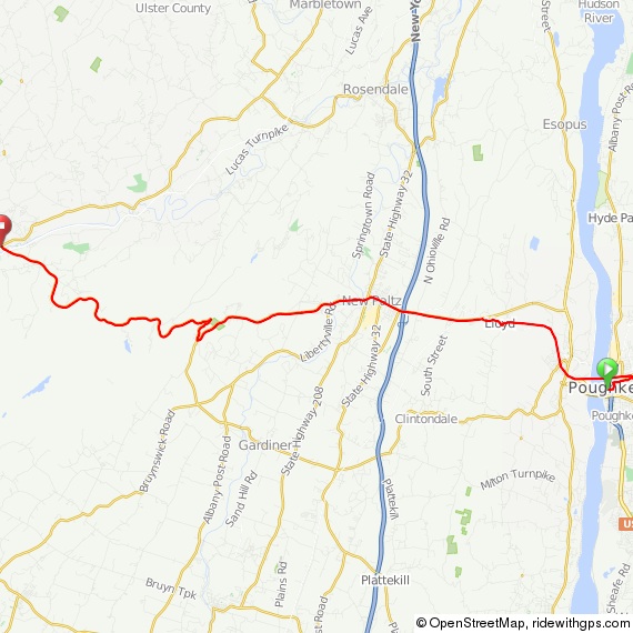
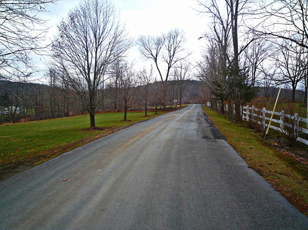
You’ll pass over the Walkway on the Hudson–the world’s longest pedestrian bridge–and continue for 5 miles on a bike path.

Image

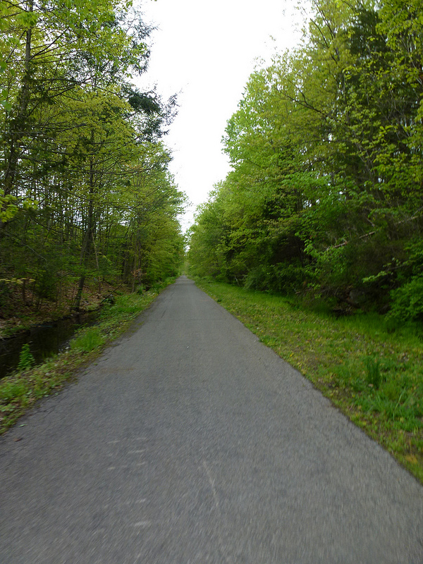
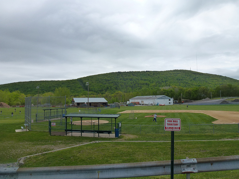
If you’re using my GPS route, your device will go crazy here. Don’t worry…for some reason Ride With GPS will no longer allow routes to follow bike paths, so I had to draw lines. Just silence your device and follow the bike path until you come out at a ball field nestled in the hills.

Image

Ultimately, you’ll emerge on Route 299. This road is busy, but there’s a wide shoulder and it is ever so slightly downhill into New Paltz. You can easily complete this short segment in a few minutes at 25-30 mph, provided the wind cooperates. Continue through New Paltz, down the hill, and cross the bridge over the river.

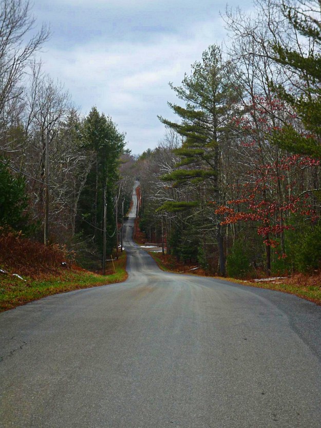
Here, you’ll have a decision to make…either way you’re in for a climb. If you take a right, you’ll climb on Mountain Rest Road. If you go straight, you’ll climb on 55 through the middle of Minnewaska State Park. Today, we’ll pretend we went straight, continuing on County Road 6 past this lovely field.

I’d actually recommend this route for the trip out to the good stuff, and then taking Mountain Rest Road on the return trip. You can find a description of that climb on the Rapha site. Trust me, it’s not as bad as it sounds; in fact, my friend who rides a 30-lb bike has accompanied me on several occasions up this climb, no problem. More about that in a separate post.

Image

Between mile 16 and 17, you’ll hook around to the right and start climbing on 55. At the base of this climb, though, there’s a German restaurant, the Mountain Brauhaus, with excellent food, albeit decidedly 70s decor. There is also a convenience store across the street as well as a tiny Eastern Mountain Sports shop. Have some spatzle and fill your water bottles. At some point, I’ll post a route with the Brauhaus closer to the end. It’s not a good place for a meal at the beginning of a ride, but it sure would be welcome after a hundred miles!

Image

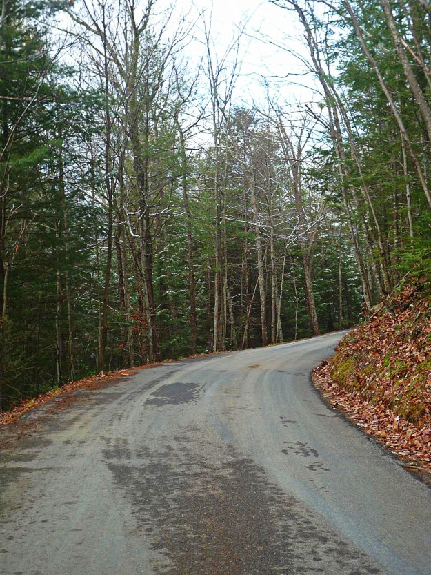
When you’re done admiring the waitresses in their lederhosen, continue up 55. The climbing begins at mile 17, and continues through about mile 21. It’s a Cat 2 climb; average grade 3.5%, maximum grade 9.2%.

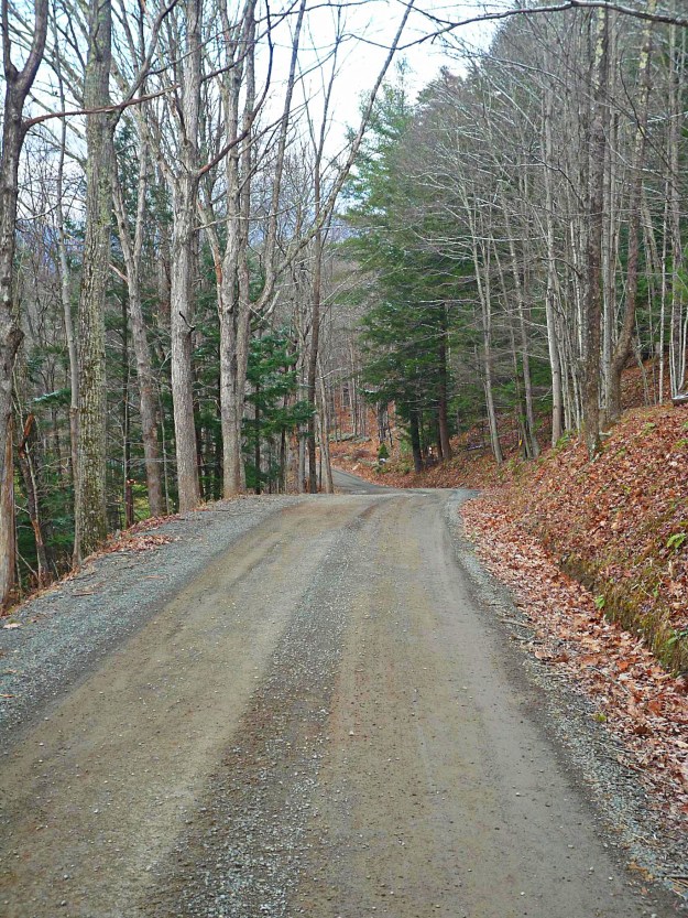
You’ve reached the top at mile 21. Not much to see there, but if you pause during your 7-mile 50 mph descent, you’ll get a great overview of what lies ahead.Image

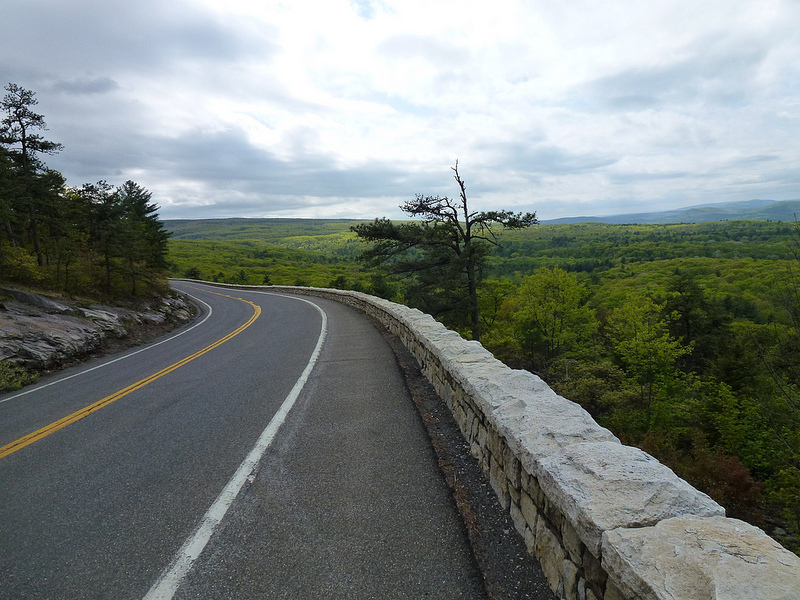
At the base of the descent, you’ll reach a T intersection. There’s a gas station where you can refill or get some packaged food; if it’s hot out you’ll definitely have gone through two bottles on that climb.

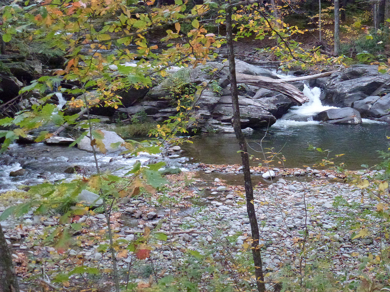
Where you go from there is up to you, but try to minimize time on 209, which is the only really busy road in the area. If it’s hot out and you need a break, take a left on 209, a right on Lundy, and continue to the secret swimmin’ hole. Just don’t tell the locals who told you how to find it!

Image

You can find the train schedule here. You should have a bike pass, although in 5 years I was only asked for one once. They can be had for $5 at any window in Grand Central. Also bring a bungie cord to attach your bike wherever you can find a spot in the car. The best spots for bikes on Metro North are, unfortunately, usually adjacent to the bathrooms.

The GPS route can be found here.

No more posts until next week; I’m off to California to lend my wisdom to an advisory board.

Enjoy!

John

www.medicalwriter.net

Ride Report: First sub-32 degree ride of the season

Every year, I turn into a chicken in late November when the weather starts getting really cold. I start thinking up excuses not to ride, and I’ll even skip one or two. I always get over it after a week or two of cold weather, after I realize that—provided I’m dressed properly—I’m not going to die after all. In fact, riding in the cold is a blast.

Today was my first sub-freezing ride of the season. It was only 26 miles, and it might have been 33 or 34 degrees in the sun, but it was pretty damn cold with the wind. I started at my place in Olivebridge, and hit about 10 miles of gravel, starting with Woodland Road, which leads past So-Hi campground.

Unfortunately, the two great parts of the route are linked by Route 209, which has relatively heavy traffic but wide shoulders. I continued on route 209 for 6 miles, and then took a right on Mettacahonts to head back home. The fun begins at Bakerstown Road.

Dug Road. There’s a good climb to get up here. I’m usually accompanied by Dug the dog. I don’t know who owns him (actually her) but she’s always running around in this area. One time she followed me at about 15-20 mph for over 3 miles. She looked tired and was panting really hard, so I let her lap Gatoraid out of the top of my water bottle.

Dug Road peaks with a nice view of the Catskills

Dug leads into Sundale Road. Getting closer to home. I still can’t believe I live here!

And finally Lower Sahler Mill Road. Good trout fishing in the stream to the right.

Here’s the chariot. I’m going to remove the ugly damn Zipp stickers.

In any case, I’m now over my annual case of cold-induced anxiety. At the end of my ride it was 26 degrees and I was fine. In fact, better than last year since I finally gave in and bought some neoprene booties.

Here’s the route. I changed the starting point to Stone Ridge for those of you who are interested in riding these roads.

GPS coordinates can be found here.

…and I promise to fill you in on much longer rides—ones that are worth the trip out here—in the near future.

John

www.medicalwriter.net

Introduction

On September 17, 2012, I finally left New York City behind and moved to Olivebridge, New York. I had been riding up here for years, always taking the train from Grand Central and then leaving from Poughkeepsie. I always had this notion that someday I’d live here. Well, here I am in the foothills of the Catskill Mountains, and this is the view from my window.

And why not? Our neighborhood—South Street Seaport—was going the way of the East Village circa 2003, mostly due to the fact that the fish market had moved out. We both work from home and have no particular reason to be in the city any more.

We were particularly lucky because, just a few weeks after we moved, our neighborhood was flooded and our building was rendered more-or-less permanently uninhabitable.

I’ll be honest: I mostly moved up here because of the riding. This blog will focus on riding in the Catskills, particularly the rough and dirty rides on back roads, on gravel, and occasionally cross country (although the latter is almost always accidental).

I’ve had a chance to ride most everywhere in the Tristate area and beyond, and—take it from me—this is the best riding to be found in three states, and perhaps anywhere in the US. All of it accessible by train from New York. I’ll try to provide guidance on the best rides, where to start, where to refill your water bottles and eat, and what to avoid, and I’ll include maps and GPS files. I’ll also talk about my bikes, post an occasional product review, and lots of pictures of animals.

Enjoy!

John

www.medicalwriter.net