Monthly Archives: December 2013

The Legendary Black Beast of Aaargh

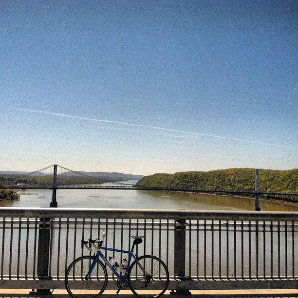
Globecanvas here.  New bike day!

Sure, it’s not artisanal, bespoke, fashioned by crafty dwarves, or worth the GDP of a small island nation. On the contrary, it’s a mass produced gas pipe chariot that weighs almost twice as much as my race bike.

But it’s a superfun ride, and most importantly, it’s something I can beat the crap out of without having to do much more than hose it off and lube the chain. I expect to put a lot of miles on it this winter.

reservoir

reservoir 2

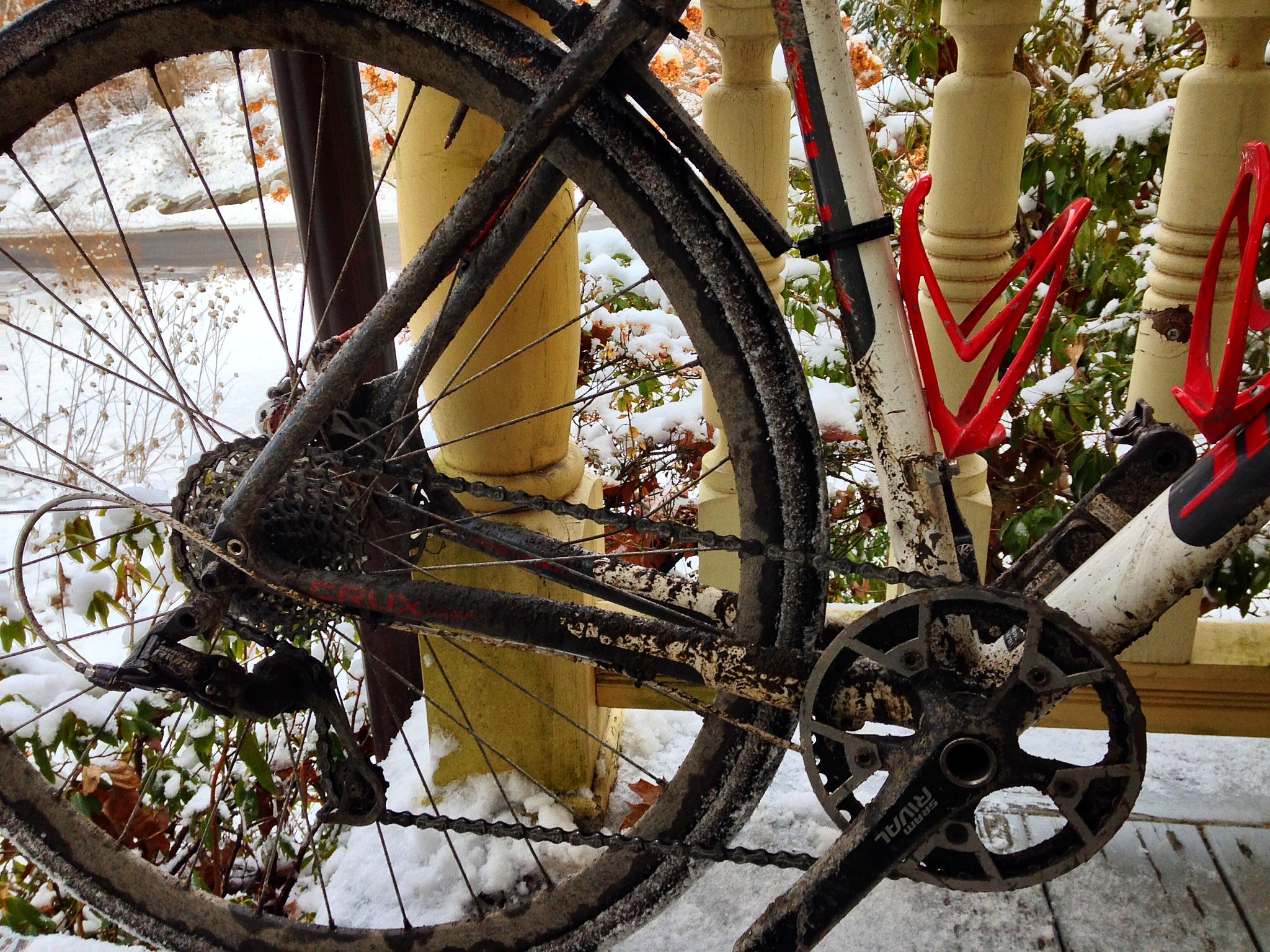
It’s a Surly Straggler frameset, Hayes CX-5 brakes, 32-spoke 30mm DT Swiss wheels. Every component is heavy and practically indestructible. I especially like the brakes, which significantly outperform the Avid BB7s on my cross bike, admittedly with a significant weight penalty. The only non-bulletproof concession is Grand Prix 4 Seasons 28c tires. I personally can’t bear the ride of hard commuter tires, and I can’t afford handmade rubber. I find the 4 Seasons to be a great in-betweener tire. I do wish they made them in a 32 or bigger size though.

I got the frameset from Billy at Overlook Mountain Bikes in Woodstock, who really went the extra mile to get my size, which wasn’t technically in stock anywhere in the world. (I’m a 54 in every bike ever, but the Straggler geometry is extra long, so I needed a 52.) The Bicycle Depot in New Paltz came through, as always, with excellent component advice and everything else.

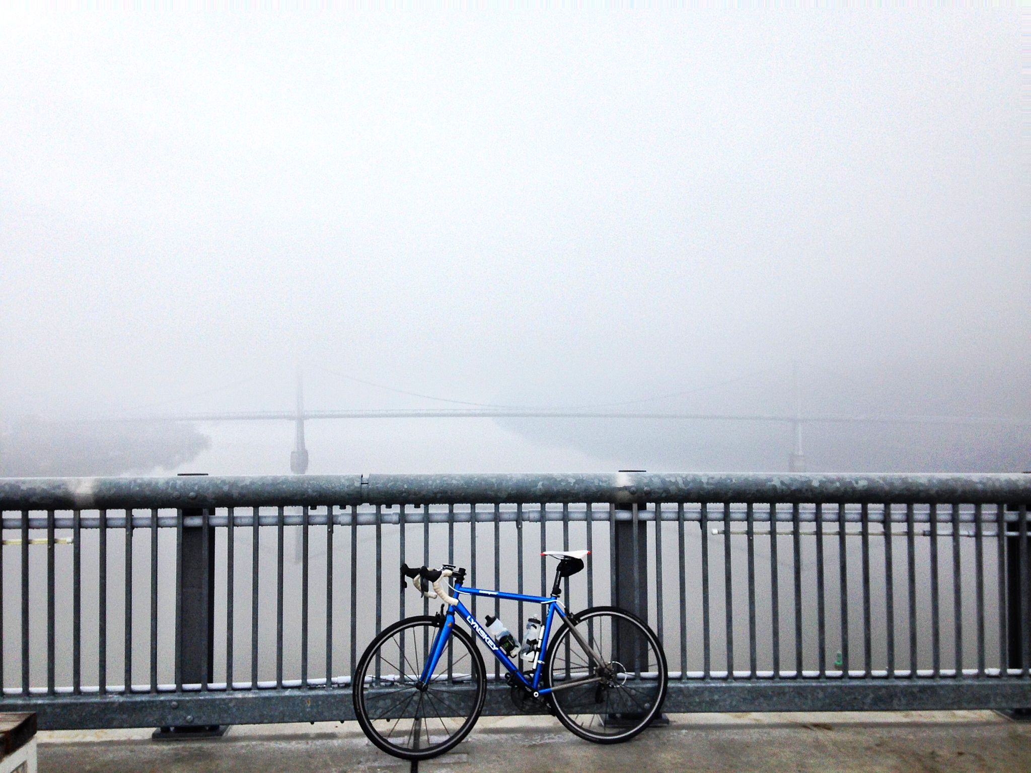
I set the bike up single speed, but with two chainrings and two cogs, to give me a couple of gear options, 42×16 (70 gear inches) and 40×18 (60 gear inches). 42×16 will get the most use, but I’ve been doing big hill repeats a couple of times a week for training, so I also wanted a small enough gear to haul this hunk of iron up Mohonk 5 or 6 times in a row.

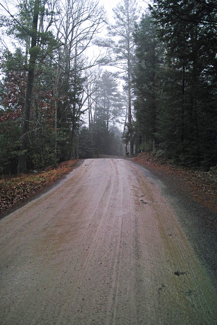
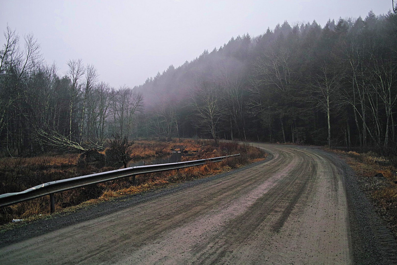
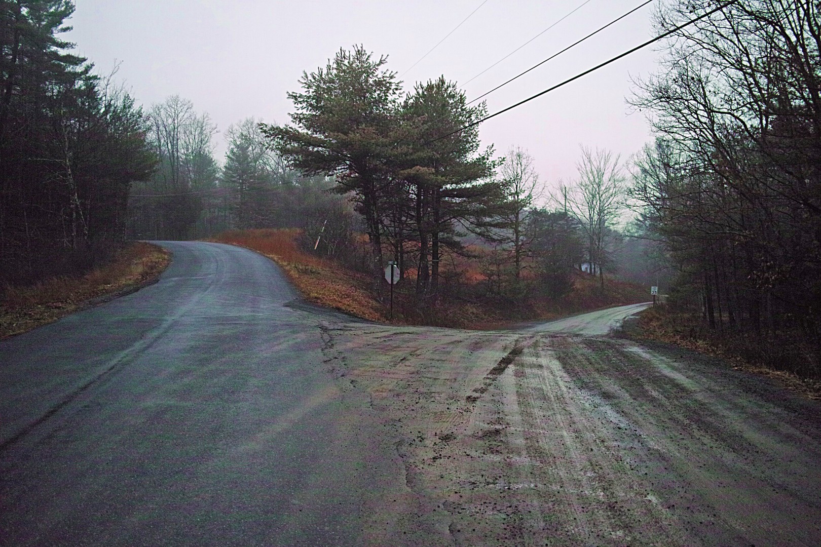
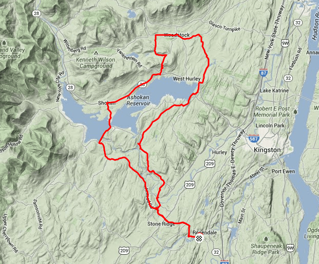
I had to take the bike out for an inaugural ride on day one, even though it was 40 degrees, foggy and raining.

bridge

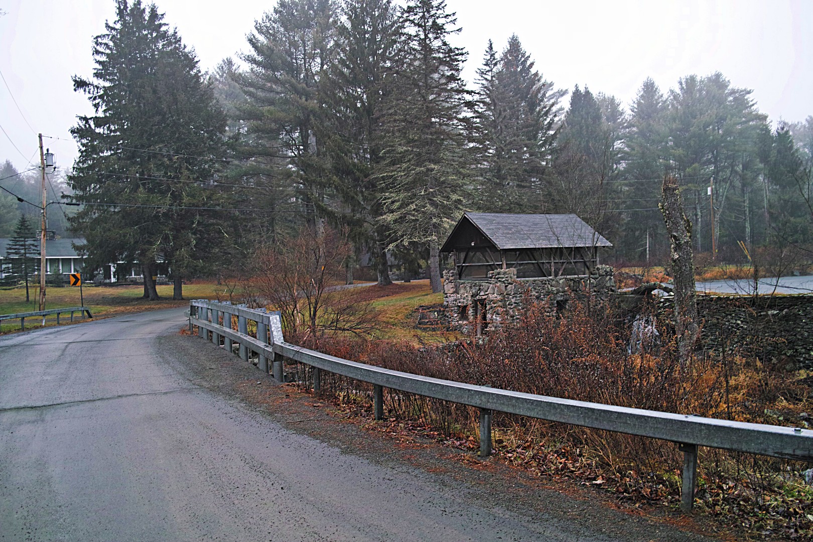
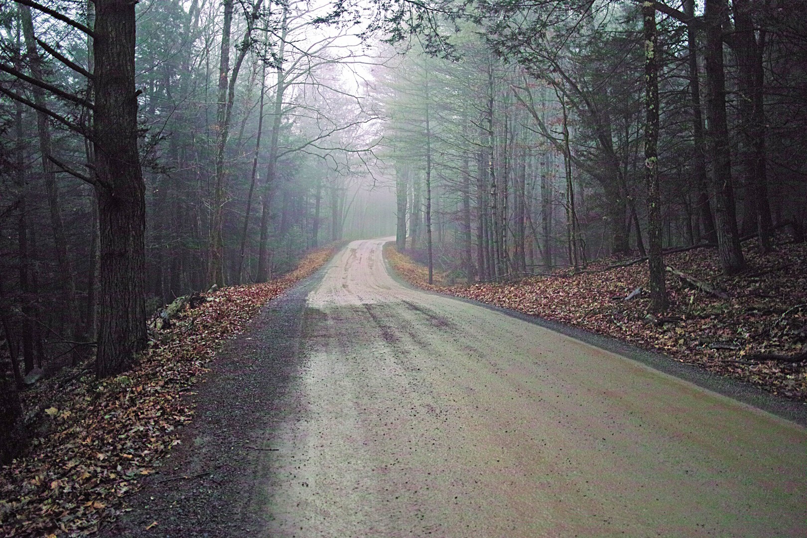
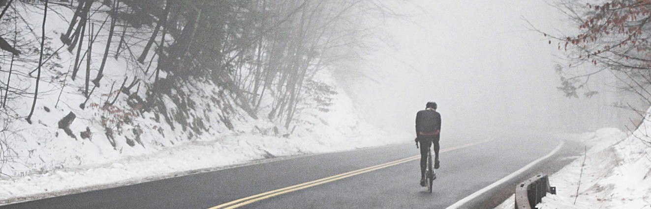
Visibility was not great in the low-lying areas, so I headed up toward the Catskills. I was also curious how 42×16 would work on some of the more significant hills up toward Woodstock. It turned out to be mostly fine, up to maybe 10% grade; I could manage a cadence of somewhere around 20 and still keep the bike moving forward without either weaving like a drunken mailman or hauling hard enough on the pedals/bars to rupture my spleen.

Riding single speed is a great experience. The drive train is quiet and smooth, and the only way to adjust effort for grade is to make your legs go faster or slower. It’s a more connected, dare I say holistic experience than riding a geared bike. On the down side, you just can’t get where you’re going as fast.

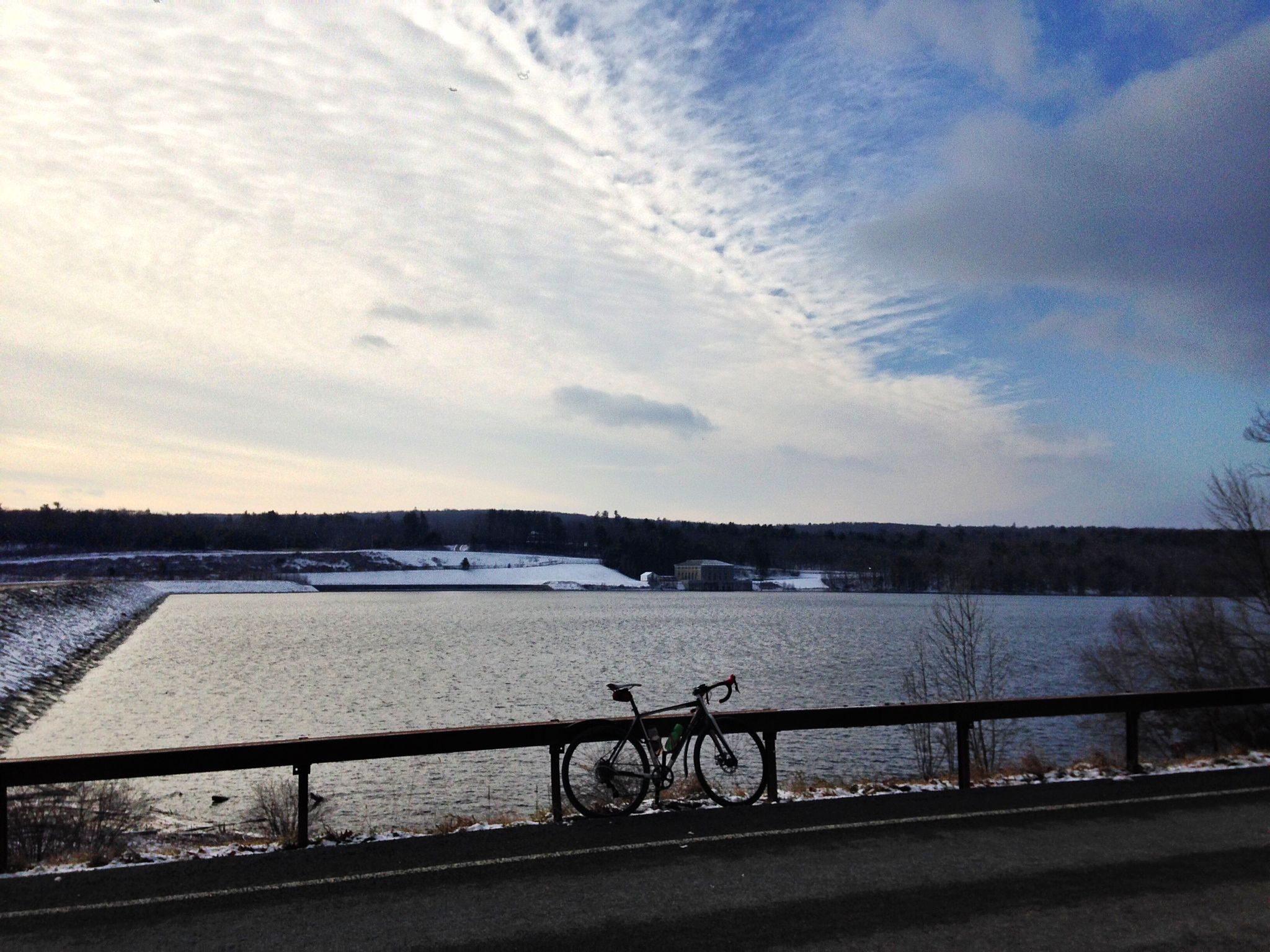
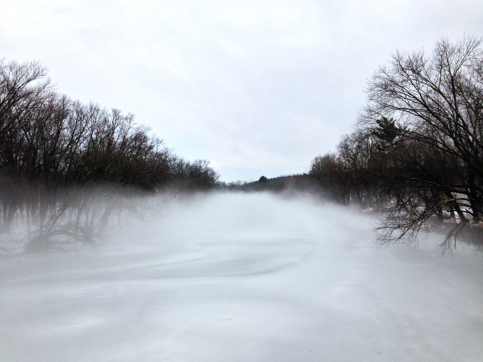
Here’s the Ashokan Spillway, always an impressive sight.  I know it’s a recurring theme for me, but I wonder how many New York City residents realize what a scenic journey their tap water has taken before arriving in their bathroom.

spillway

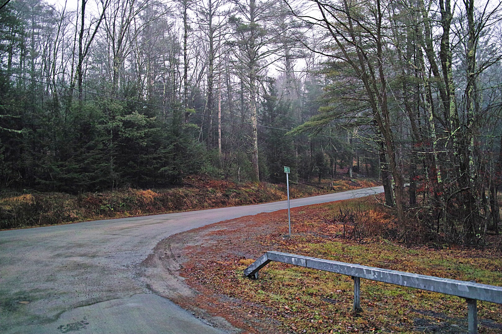
I did unintentionally end up on Yerry Hill in Woodstock, which has 1/2 mile of 12% and a final kicker of over 20%. (I was aiming for Ohayo Mountain, which is a real climb but not a gutbuster, but I missed the turn.) Yerry Hill is especially mean in that there’s a really steep section that looks for all the world like it tops out, and then you come around a little bend and see the stupidly steep section in front of you. Unsurprisingly, I didn’t quite make it up the kicker in 42×16, but it wasn’t completely out of the question, and I think I could have managed in 40×18.

All in all, a great first ride on a fun bike. By the time I got home, my right hand was completely numb and my shoes were full of freezing water. What more could you ask for?

Capture


— John S, aka globecanvas

The Searchlight in the Big Yard Swings Around with the Gun

And spotlights the snowflakes like dust in the sun.

Eastern NY Maximum Security Correctional Facility.  I was nervous taking a photo (which is why it’s crooked and blurry), but hey, if Google can do it…

prison

The Rondout Reservoir, yet another major piece of New York City infrastructure way up here in the Catskills.

reservoir

View from the top of Yeagerville Road in the Southern Catskills, looking back towards the Gunks.  This spot is not terribly far from John F’s soon-to-be-former house, but it’s about 2000 feet higher.

yeagerville

The further into the Catskills, the deeper the snowy, sandy, salty glop.  I have always thought the town of Denning must get some kind of ridiculous bulk discount on sand, or else they are trying to become a beachfront community.

One of the nice waterfalls on Peekamoose-Sundown Road.  This is basically the perfect road, over 10 miles through a Catskills valley with no intersections at all.  The Rondout Creek starts in the hollow as a trickle, and follows the road for miles before dumping into the reservoir.  The water in this photo will eventually provide crisp, clear mountain water for somebody’s toilet in Brooklyn.

waterfall

When I got home I took a photo of my gloppy bike.  Only after looking at the photo did I notice I had broken a spoke.  Hooray for 32-spoke wheels!  And disc brakes too, I suppose.

glop

My winter rig is my cross bike, geared 1×10 with a 32T cassette, 28c road tires, and jury-rigged plastic fenders.  I can’t figure out how to fender the front wheel in front of the head tube, though, which is inconvenient because it means descending at any speed results in a splattery face.  I was mincing down the icy, snowy descents today, but I still ate a lot of salt.

Here’s the route:

Capture

Raw GPX here.

— John S, aka globecanvas

Dark, Wet, and Muddy

I wrote this a few days ago, but quickly took it down when I realized that I had rudely top-posted Globecanvas’ most recent post. Apologies to all of you who received a new post e-mail, only to stop by and see nothing new!

The ideal ride.

Yes, I’ve finally gotten back on the horse after a few months of house hunting and then an inconveniently timed neck injury. I went for a 20-mile ride yesterday; on today’s ride, I decided to see how many dirt roads I could hit within 30 miles of my house, and I found out that, if you plan carefully, you can do a ride that is approximately one-third dirt in that distance. Route here.

I mean, mud, not dirt.

SDIM0365_pe

SDIM0364_pe

Red mud. My poor shoes.

SDIM0367_pe

It was drizzling at the beginning of the ride, and it started to pour about halfway through, so I didn’t get too many pictures. Here are a few.

SDIM0370_pe

SDIM0375_pe

SDIM0361_pe

SDIM0374_pe

SDIM0378_pe

SDIM0372_pe

SDIM0363_pe

I’m sure the few people in cars who passed me felt sorry for me. What they don’t know is that I do this by choice. Nothing feels as good as a wet, muddy, freezing, foggy ride in the dark!

John

medicalwriter.net

Recon

Hi, Globecanvas here.

There are some spectacular dirt roads in Dutchess County, and somewhere out there in the ether is an excellent cycling loop that makes use of both the Walkway over the Hudson, in Poughkeepsie, and the Rhinecliff Bridge, north of Kingston. Yesterday I did not do that excellent loop. It was a nice ride, but not the sublime day that it should have been.

Although I have ridden plenty in Dutchess County, somewhere between Poughkeepsie and Rhinebeck there is a blank spot in my worldview, sort of like the “here be dragons” vagueness in old maps. On yesterday’s ride I managed to choose all of the least fun roads through this blank spot, making for an unsublime 12 miles in the middle of an otherwise great ride.

Sometime in the next week or two I’ll do this loop right. For now, though, I’ll just post a few photos.

The Rifton highlands, between New Paltz and the Hudson River, are one of my favorite areas to ride. This area is quite unlike the Gunks to the west. The signal feature of this terrain is long, swampy folds between low ridges. There’s very little traffic and the roads are generally excellent. It’s a great way to connect from Kingston to New Paltz or Poughkeepsie.

swamp

The Swarte Kill, or Black Creek, runs through here.

black creek

The Walkway over the Hudson is a tremendous local resource. Thanks to the determined efforts of a small group of local volunteers, we now have a state park spanning the Hudson River. On a summer day, literally thousands of people enjoy the incredible views, and throughout the year, the Walkway enables bicycle commutes and generally improves everyone’s quality of life.

Here’s the view from the Walkway, looking south toward Bear Mountain, on a clear day in May.

walkway_may

Yesterday the bridge was foggy and frozen.

walkway

Finally, the Esopus Meadows Lighthouse, seen from Rhinecliff Landing, as the fog was lifting at last.

lighthouse

Here’s the route, but miles 20-32 are suboptimal.  I’ll post a real ride report on this route once I get it all worked out.

Capture

— John S, aka globecanvas