This weekend, I did a variation on my favorite ride: Up the ridge on 44/55, then a nice long decent on Stony Kill Road.
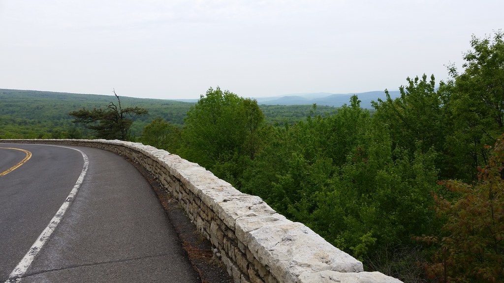
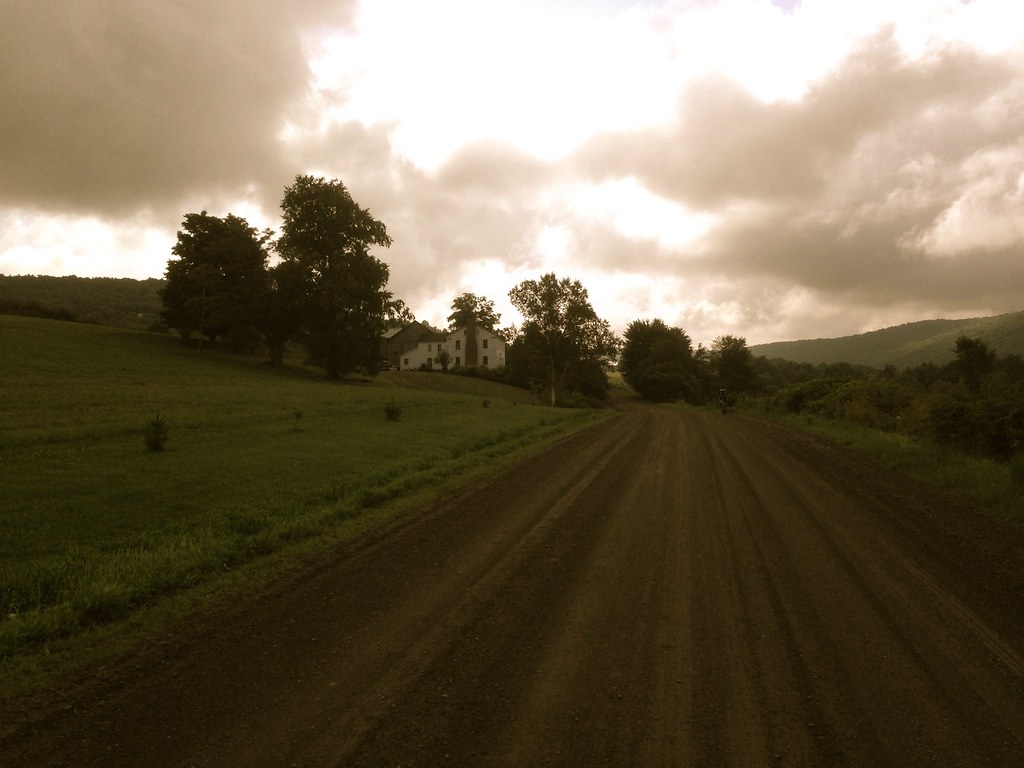
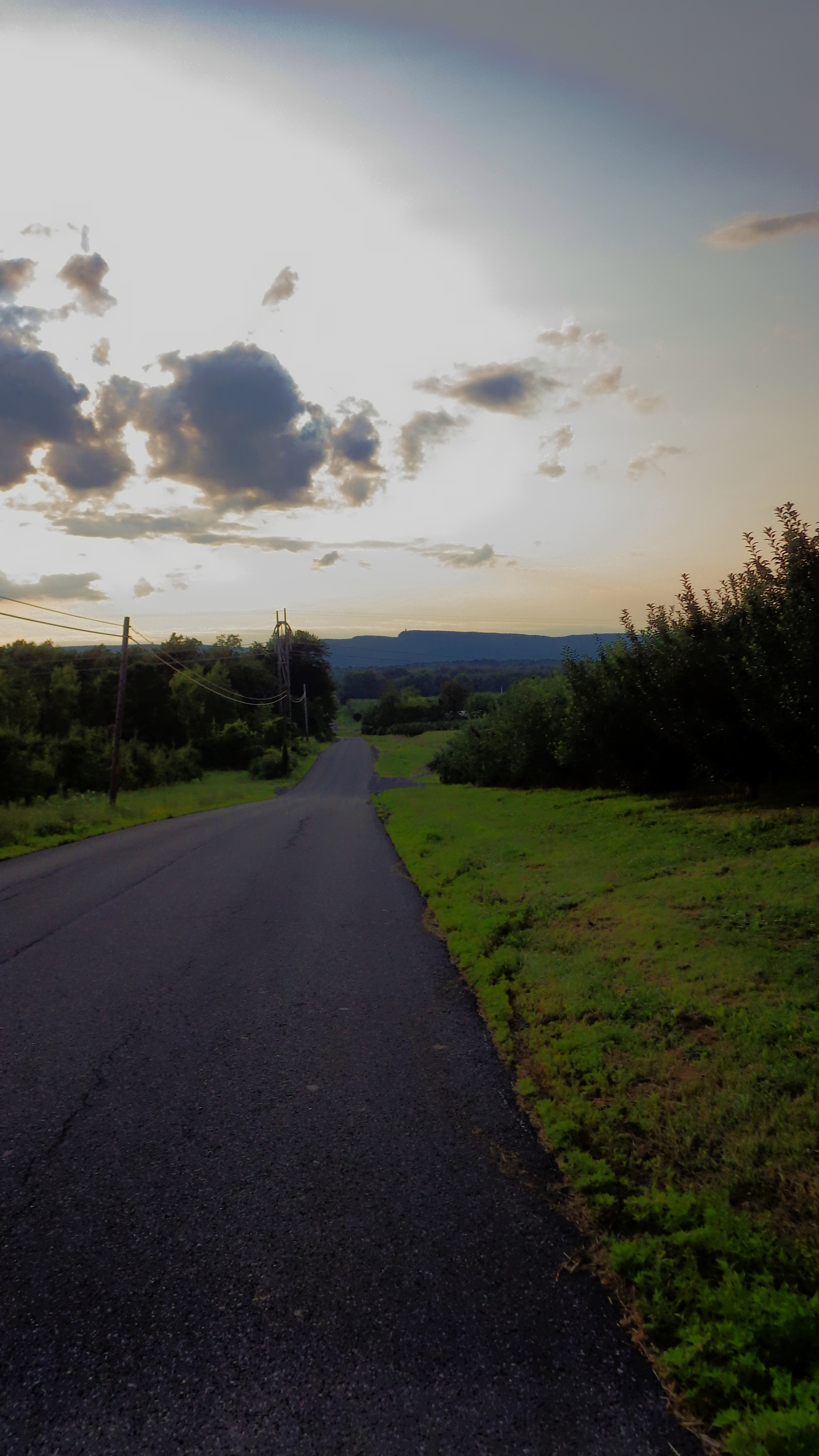
Best view of the Catskills (unfortunately obscured on this day):
I ran into my co-blogger, John S, on the way down Stony Kill. I was hauling ass at that point since it was slightly downhill, and I’m sure John was going his usual speed (fast), so I didn’t realize until about a mile later who I passed. I subsequently got a confirmatory text from John. Sorry I missed you!
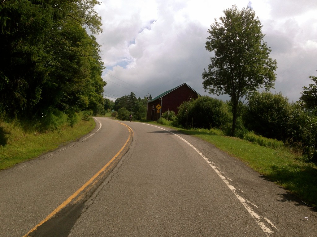
After a quick stop at Subway for lunch, I continued on to Rosendale. Now, normally when I have limited time I take the bike path over the Rosendale bridge and back home. Unfortunately, the river and the highway collude to result in few options for heading east from Rosendale. So today, I continued through Rosendale, in search of a passage over the Wallkill that didn’t involve riding on Route 213 for longer than I had to.
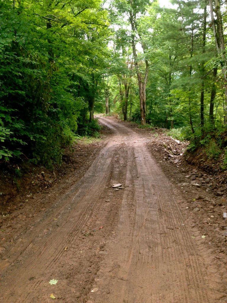
I found it! A little muddy though:
Good times on a road bike:
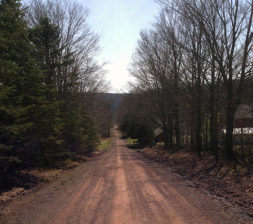
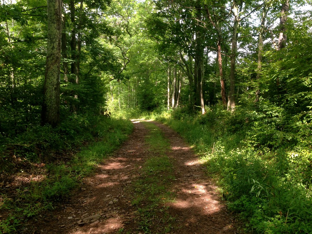
This dirt path (I wouldn’t call it a road) ultimately leads to a covered bridge….
Which looks quite charming here, but I cropped out the 4 lanes of vehicular manslaughter just to the right. Nevertheless, a better route than 213. Thereafter, I headed up Cow Hough Road–a bigger and tougher climb than I remembered, but I was probably already burnt from climbing over the ridge.
Overall I give it an A+. Highly recommended, especially if you don’t mind getting really dirty.
I’ve got a good one planned for this weekend! “Good” meaning I’ll probably hate life and regret ever deciding to take up cycling at about mile 80. That’s the way I roll.
Let’s back up a bit. Last year my friend and teammate Larry thought up a ride that would do almost every climb along the Shawangunk Ridge, totaling over 10,000 feet of climbing.
In my memory, I was involved in the very first spark of the idea, maybe during an on-bike conversation with Larry. But I think that’s just how memory works. Ten years from now, when the Gunks 10,000 is bigger than Burning Man, there will be hundreds of cyclists who were part of the original conversation that birthed the Gunks 10,000, and thousands of cyclists who participated in the very first incarnation of the ride.
Photo: John Cullinan
In fact, in 2013, only 6 cyclists were there for the first Gunks 10,000 (or “G10K” as those of us in the inner circle, friends of Larry (FOLs), call it). I wasn’t one of them, although I did go to Larry’s house for beer afterwards.
Larry’s yard. Photo: Andrew Williams
This year was different. Last Sunday was the second annual Gunks 10K, and 24 cyclists showed up. The day was perfect, the route was gorgeous, and the event went off perfectly. It had the distinct feel of something that could become a much bigger event in the future, if Larry decides he wants to go that direction.
Photo: Larry Chapman
The expectation at the start was that the ride would split into two groups: one racing, and one at Sunday-ride pace. On the first big climb of the day, a 2-mile 8% classic just a few minutes into the ride, it became clear that just about everybody had come to race. Despite my intention of keeping my own effort throttled down to a level I thought I could sustain for 6 or 7 hours, adrenaline got the better of me, and I put down a personal best on the climb. Pathetically, that personal best was demolished by over half the riders, with the fastest guys beating me by almost 2 minutes.
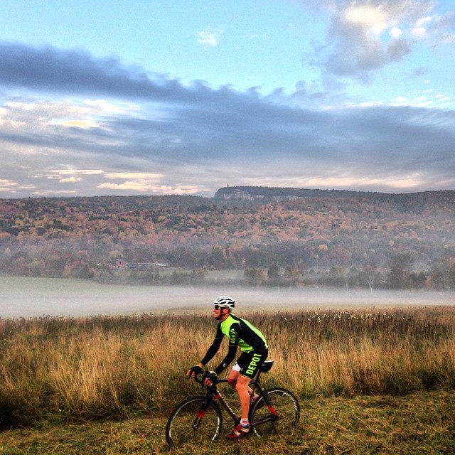
The day went on like that. The fastest 5 cyclists were all legitimate climbing specialists, including, as it turns out, two former Tour of the Catskills GC winners, and a former New York state masters road race champion. And this despite the fact that Bicycle Depot, my own team — the home team — had two of our best climbers cancel at the last minute, one with the flu, and one with a hamstring injury.
While the skinny guys duked it out at the front, the rest of us settled into our own grooves and enjoyed the beautiful day. Larry and I started our own little competition with one another, which would end with him beating me by 6 seconds out of 2 hours of timed climbing. By the time the 6 1/2 hour ride was over, Jonas from Brooklyn had opened a 22 second gap over his buddy Pablo, to claim a permanently engraved spot on the Gunky Chunk, the handmade conglomerate-and-steel trophy. Larry and I were 18 minutes back, right about midpack; the slowest finishing time of all was only 36 minutes back, which is really not much, considering the epicness of the event.
I predict Larry will be turning people away at the next G10K.
Mid-ride break at Lake Minnewaska. Photo: Larry Chapman
Larry himself. Photo: Andrew Williams
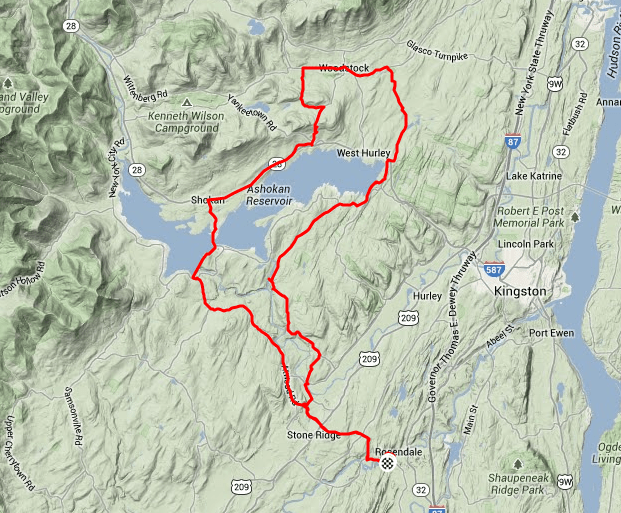
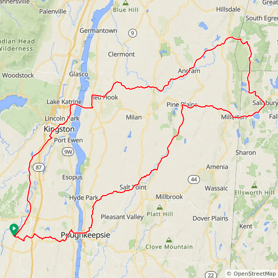
Gunks 10,000 route.
That was last Sunday. Yesterday I rode with a friend up to the groundbreaking for the Kingston Point rail trail. Ulster County has an ambitious plan to connect all of the various defunct rail lines into a network of multi-use rail trails, with a hub in Kingston. Some pieces of the puzzle are farther in the future than others, but there is real progress happening. This will be a Good Thing.
On the way home I had to stop to photograph this ridiculous Mount Doom sunset.
Sunset over the Rondout Creek.
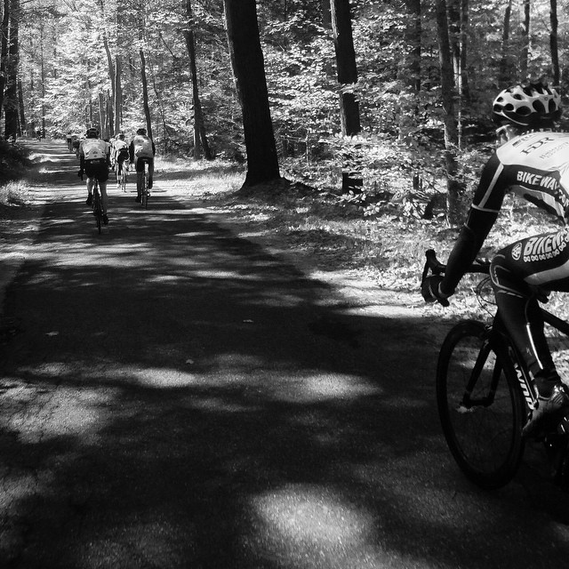
Continuing the trend this morning, the weekly Bicycle Depot team cyclocross ride was somewhere between “breathtaking” and “whoaaa.”
I know this blog makes me sound unidimensional (bikes). Or perhaps bidimensional (bikes and pets). But I do have other interests, one of which is design.
On October 11 and 12, Field + Supply will be holding an event that is intended to “modernize and elevate the traditional arts and crafts fair” in High Falls, a small town to the north of New Paltz. Some of my favorites will be there, in particular Asher Israelow, among others. Plus BBQ and oysters!
The website provides driving directions…for some reason, though, they did not provide a GPS cycling route. I can’t imagine why.
Never fear, here’s how to get there from Poughkeepsie by bike.
If you don’t want to take the bike path, this is the way to go. Or at least this is the way I’d go:
That’s 52 miles, with the first 2.5 and last 5 miles on dead flat, paved bike path (trust me, it’s better than riding on 299). Twenty-five more amazing miles to High Falls, eat BBQ and buy cool stuff (presumably they’ll ship it to you), and return via a very pretty 20 miles route to Poughkeepsie. The route passes my house, which–according to my blogging colleague John S–much resembles a door stop. You’ll know it when you see it.
Just as a note, at around mile 38.5, you may not be able to take a right because it leads right into a religious community. If that happens, just take 213 one more mile and take a right on Cow Hough and you’ll be back on track.
If you want to take the bike path, here’s an easy route. 39 miles of bump and grind:
Unfortunately, I’ll be in Boston on Saturday for work, but I will be attending on Sunday. I’ll ride there, of course!
Forgive me in advance, please. This isn’t going to be my most elegant post–it’s 8:30 at night and I’m still working, and I sadly did not get around to taking too many pictures.
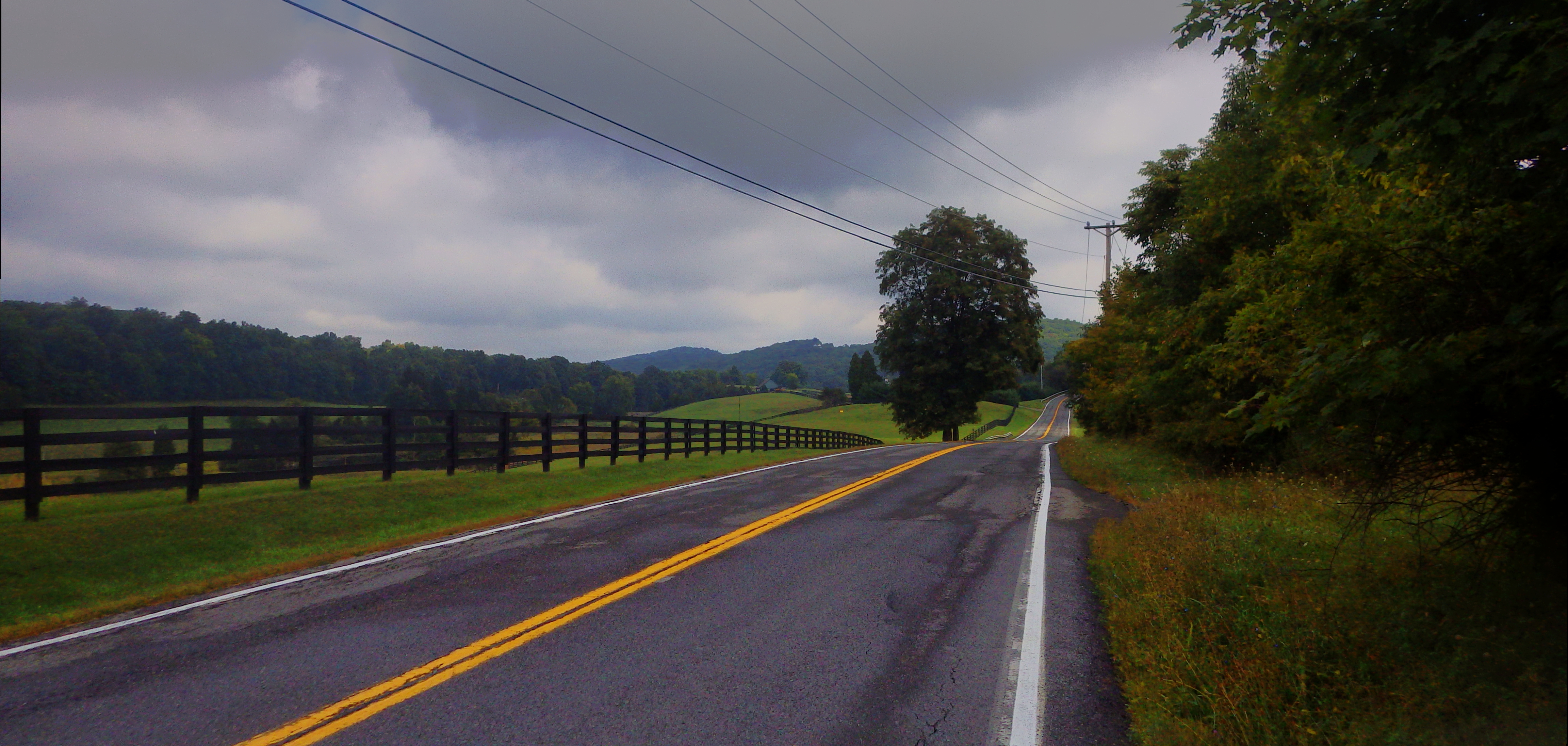
On Tuesday, two-thirds of your RTC bloggers–John S and I–went for a ride that crossed Dutchess County, entered Connecticut, and then headed north to Massachusetts and then back.
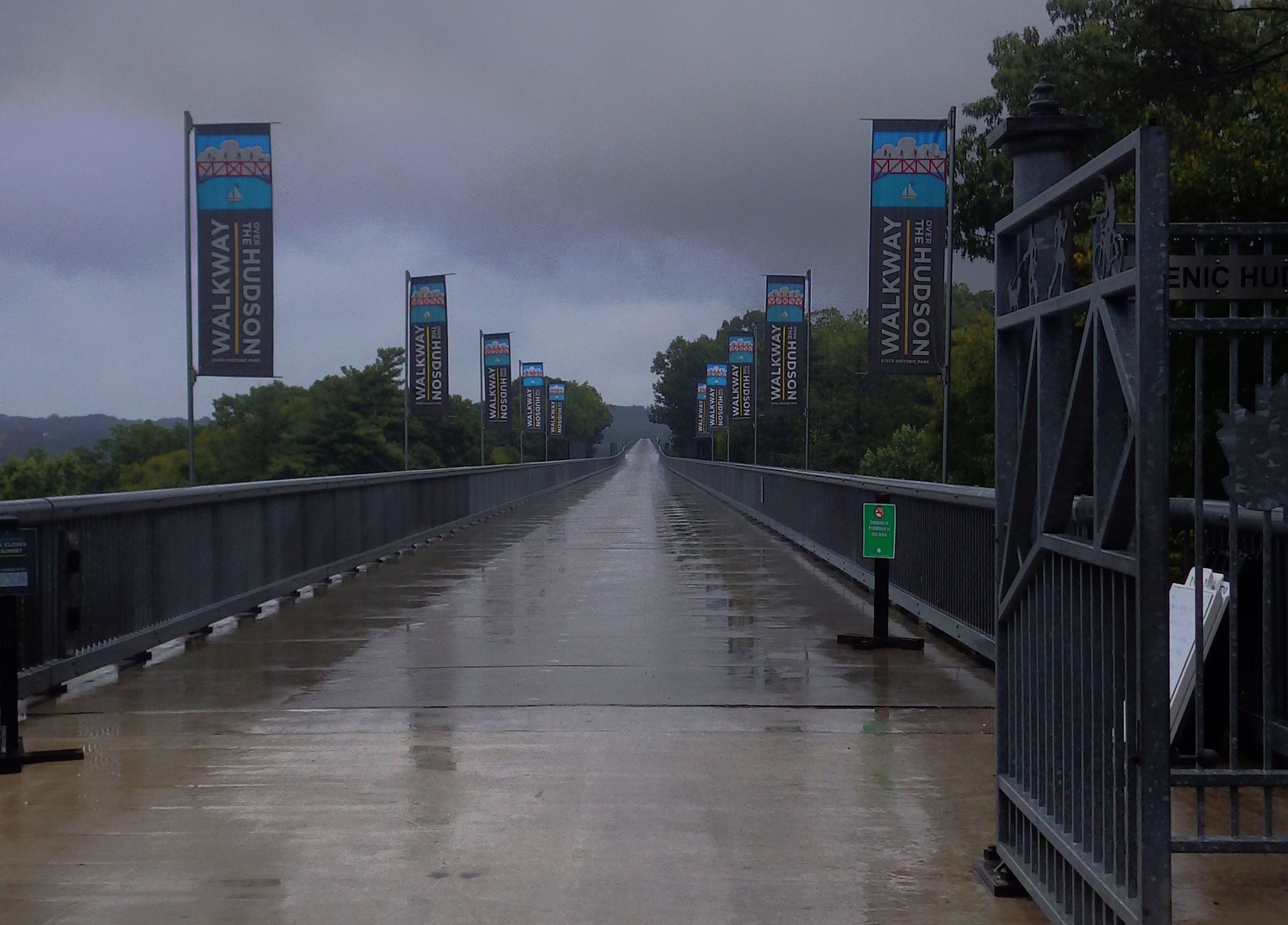
The day started out wet and cold–in fact, if I hadn’t been obligated to meet John at the pedestrian bridge across the Hudson, I might have stayed in bed. I initially left the house in just a light long-sleeve jersey, bib shorts, and a light rain jacket, but quickly turned around and put on a real coat, some legwarmers, and a lot of embrocation. A quick 15-mile trip from my house to the bridge, where John S showed up precisely on time.
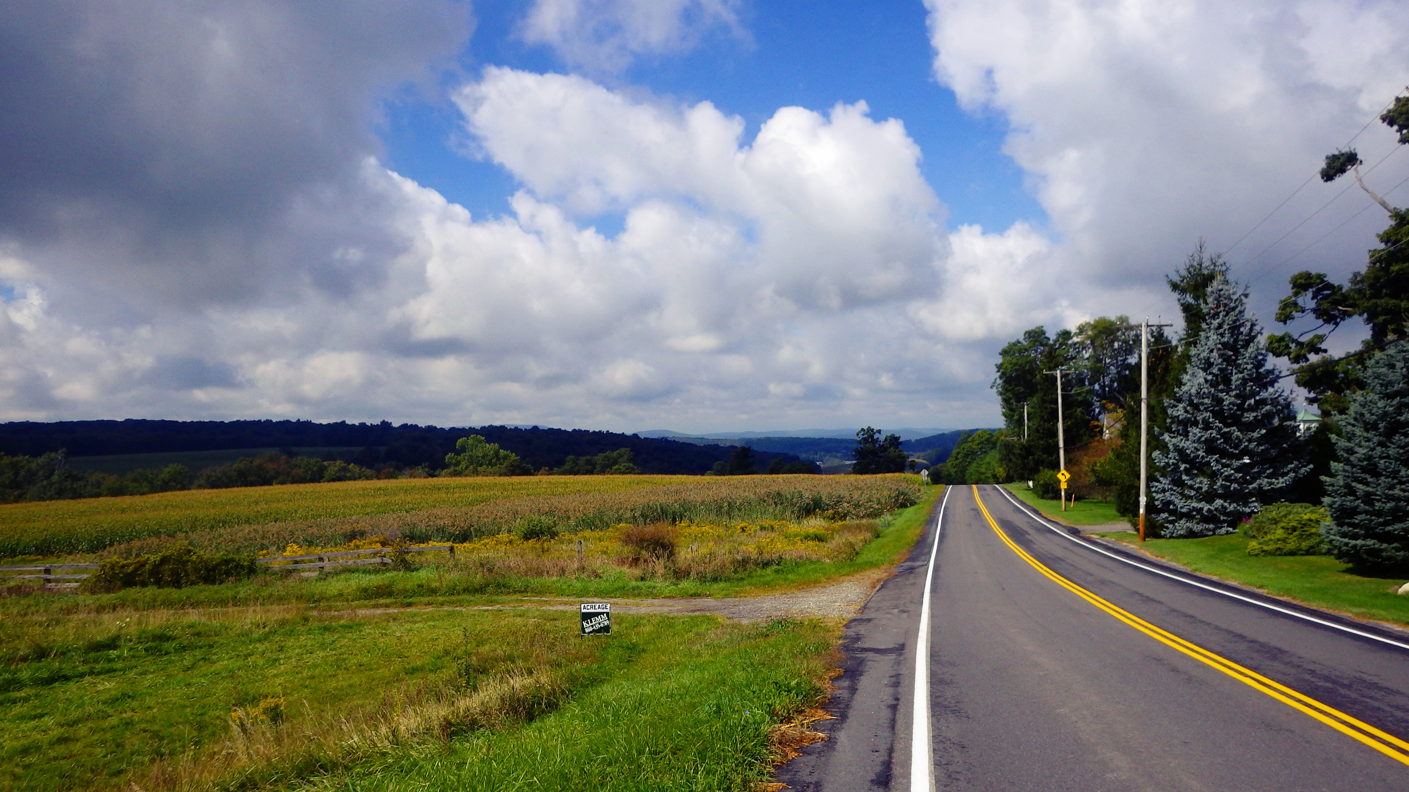
From there, we headed north and then across Dutchess toward Pine Plains. I vaguely recognized the termini of some of the roads we passed, and I realized later that they were part of the Brewster-New Hamburg classic. I crashed at precisely 0.5 mph while climbing when I encountered a deep patch of very soft sand.
John had to be home much earlier than me, so he turned around and returned home via a different route at about mile 50. That left me to face the first real challenge of the day solo: WInchell Mountain Road.
On the plus side, the day got progressively nicer over time.
Now, I thought that was a challenge, but it was nothing compared to what was coming up. After crossing into Connecticut, a left turn led me onto Factory Road, which ultimately turns into Mt Riga road and then to Mt Washington Road. A source of some confusion because I hadn’t turned on my GPS and was looking for Mt Riga–and, of course, none of the roads were clearly marked. And then the real climbing began. I am not ashamed to say that at this point I was tired enough to get off my bike a few times. It was getting hot, and when I unzipped my sleeves, I found that my elbow was bleeding from my earlier crash.
The rest of the ride was largely uneventful, which was great because I had a slowly growing contusion on my hip from my uncoordinated fall earlier. But not entirely uneventful: As far as I can tell, I took a wrong turn around mile 100. Because I’m stubborn and refused to retrace my route, I ended up navigating by cell phone back to Poughkeepsie, where I wandered around for more miles than I care to admit in the not-so-nice parts of town trying to find where the bike path crossed at grade so that I could get back across the Hudson.
All in all, a successful, beautiful ride that ended up (with getting lost) at 138 miles. After all, you’re not really having fun until you’re so tired you don’t know how you’re going to make it home!
Here’s the route, for those of you are interested, just keep in mind that I didn’t ride anything past mile 100 or so.
Finally–I’m considering making Tuesdays my day for regular 100 mile+ rides. I’ll publish the routes in advance, and if you want to join me, let me know!
(Just FYI, if you haven’t read through all my posts on the blog: I’m slow, I like to stop to take pictures, and I like a good meal. So no worries that it will be a hammerfest!)
Yeah, it’s that time of year where I start to develop late-summer emaciation. You know, the kind where everyone thinks you’re suffering from some awful wasting disease,* but you’re actually in such good shape that a “casual” 50-mile ride after work seems completely normal.
I’m afraid that I’ve consumed many pints of Ben & Jerry’s in an apparently futile effort to keep from losing that last 6% of body fat–no “healthy” food is doing the trick. If anyone has tips beyond the disgusting peanut butter/protein milkshakes and copious amounts of ice cream I’ve been consuming, please do let me know.
So…yesterday I only had time for a 40. It was actually supposed to be about 30 miles, but I spaced and ended up going partially over the ridge. When I emerged from my fugue state, I was in a different county eating a couple of slices of truly awful pizza.
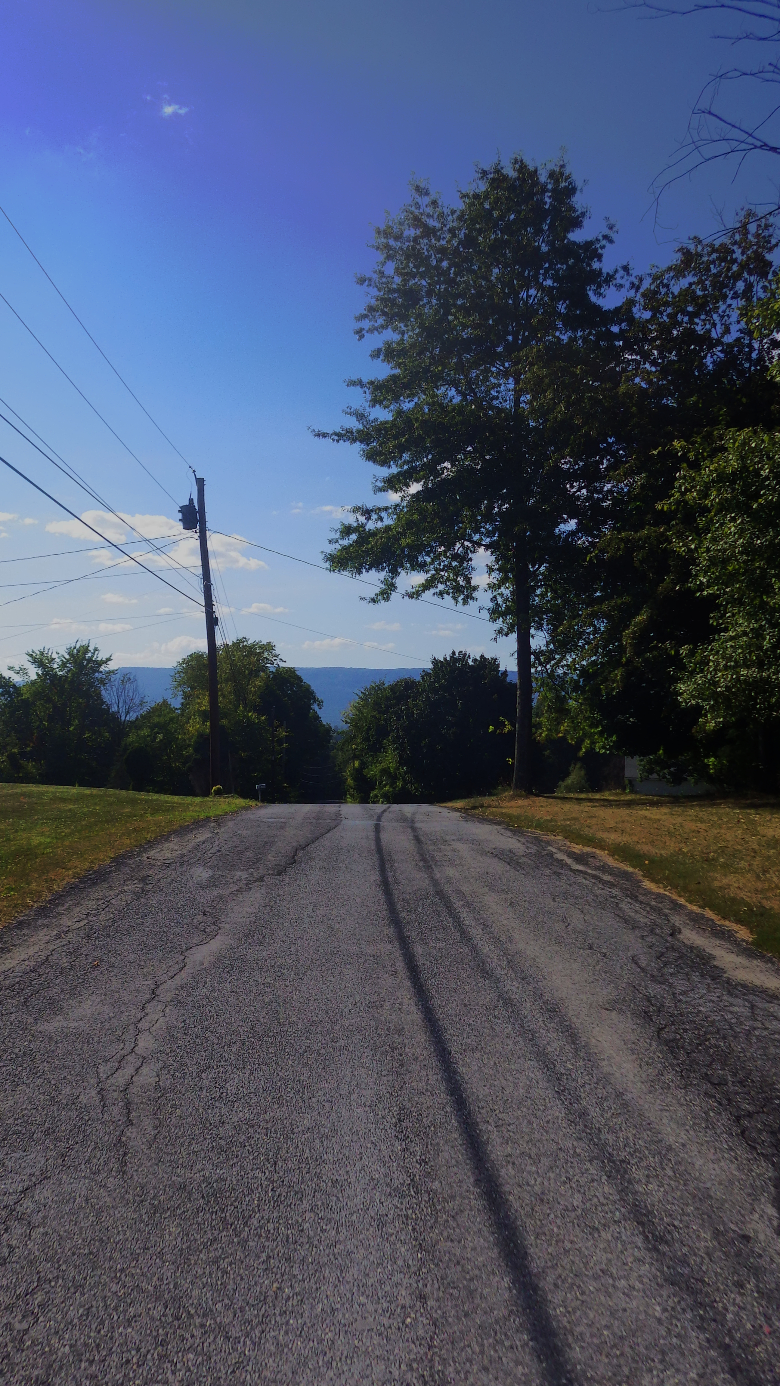
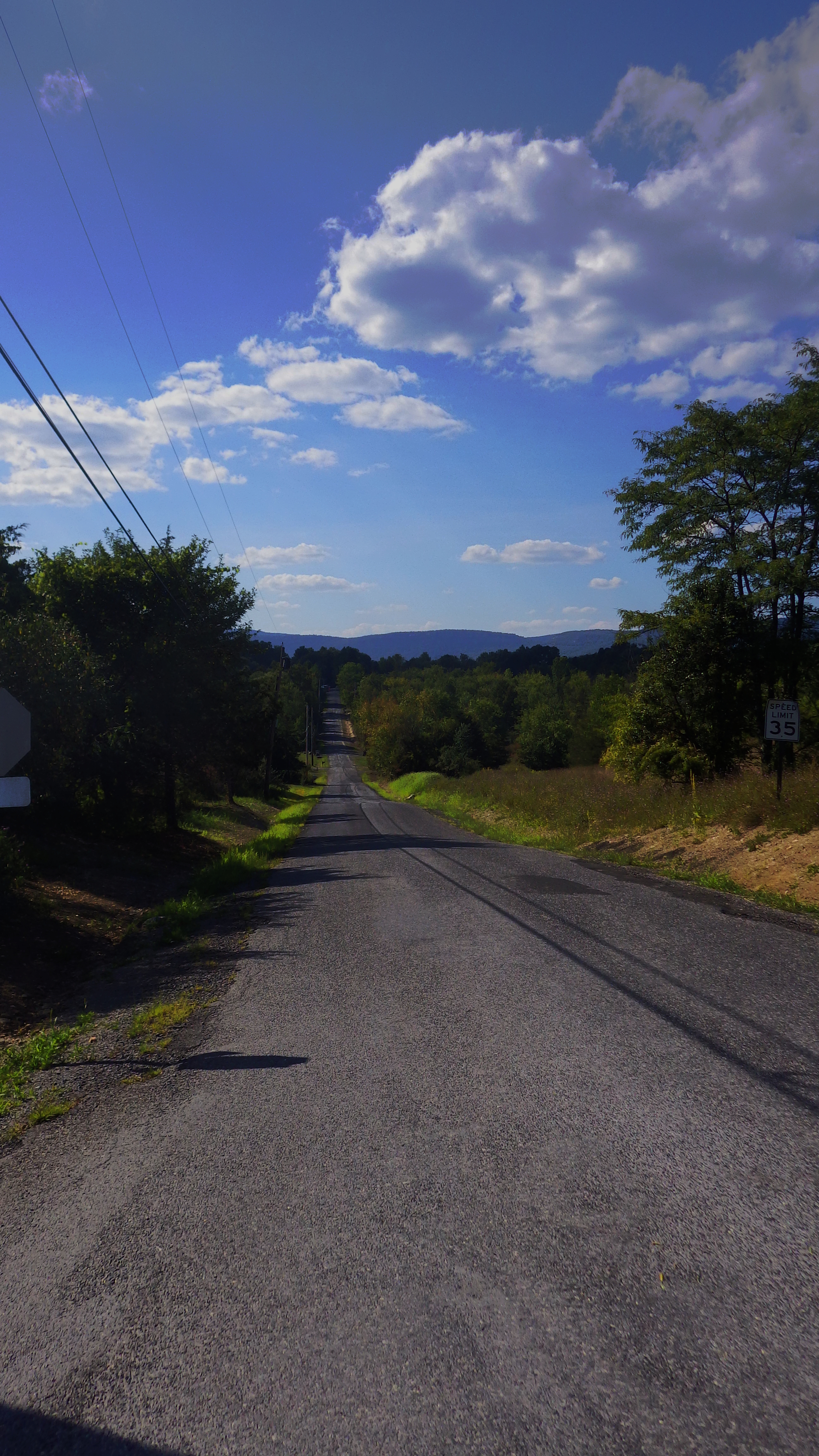
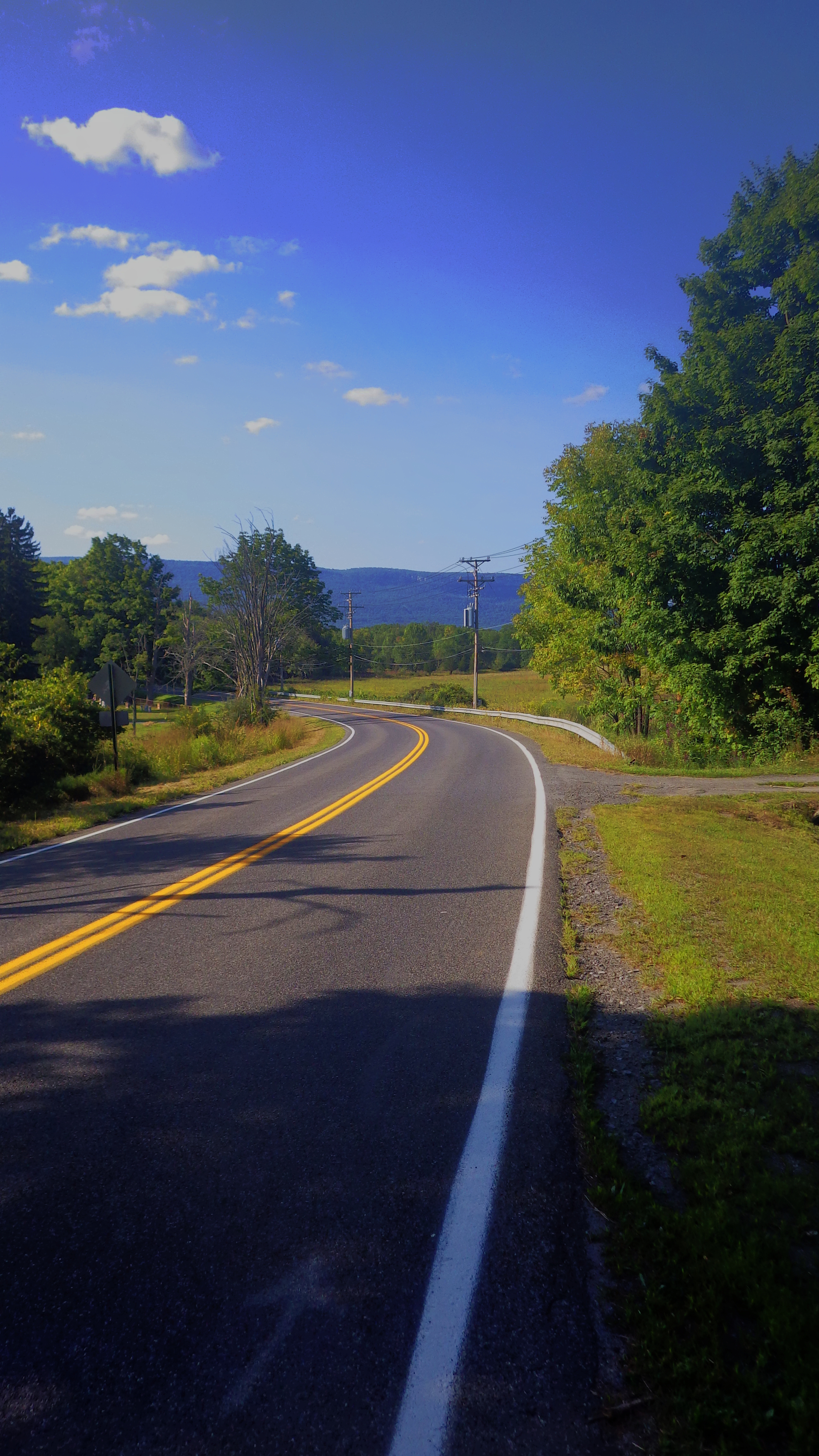
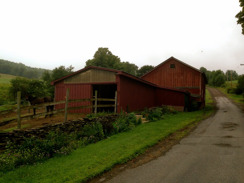
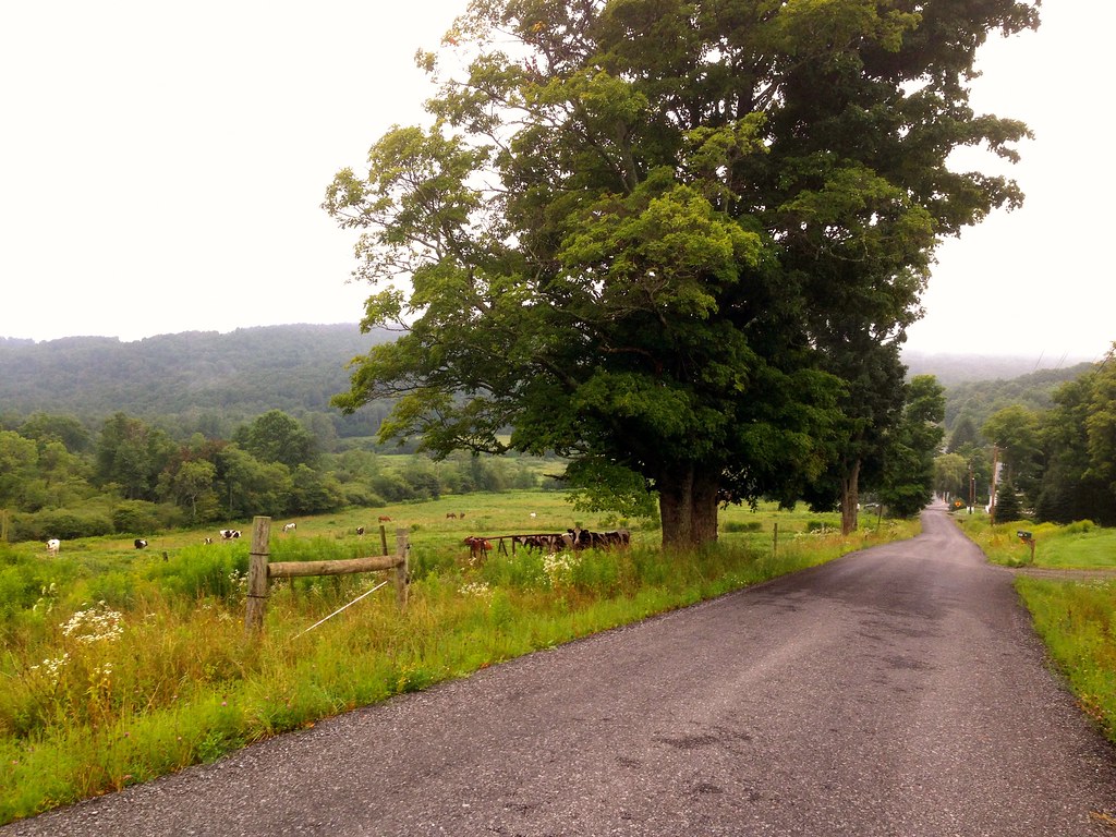
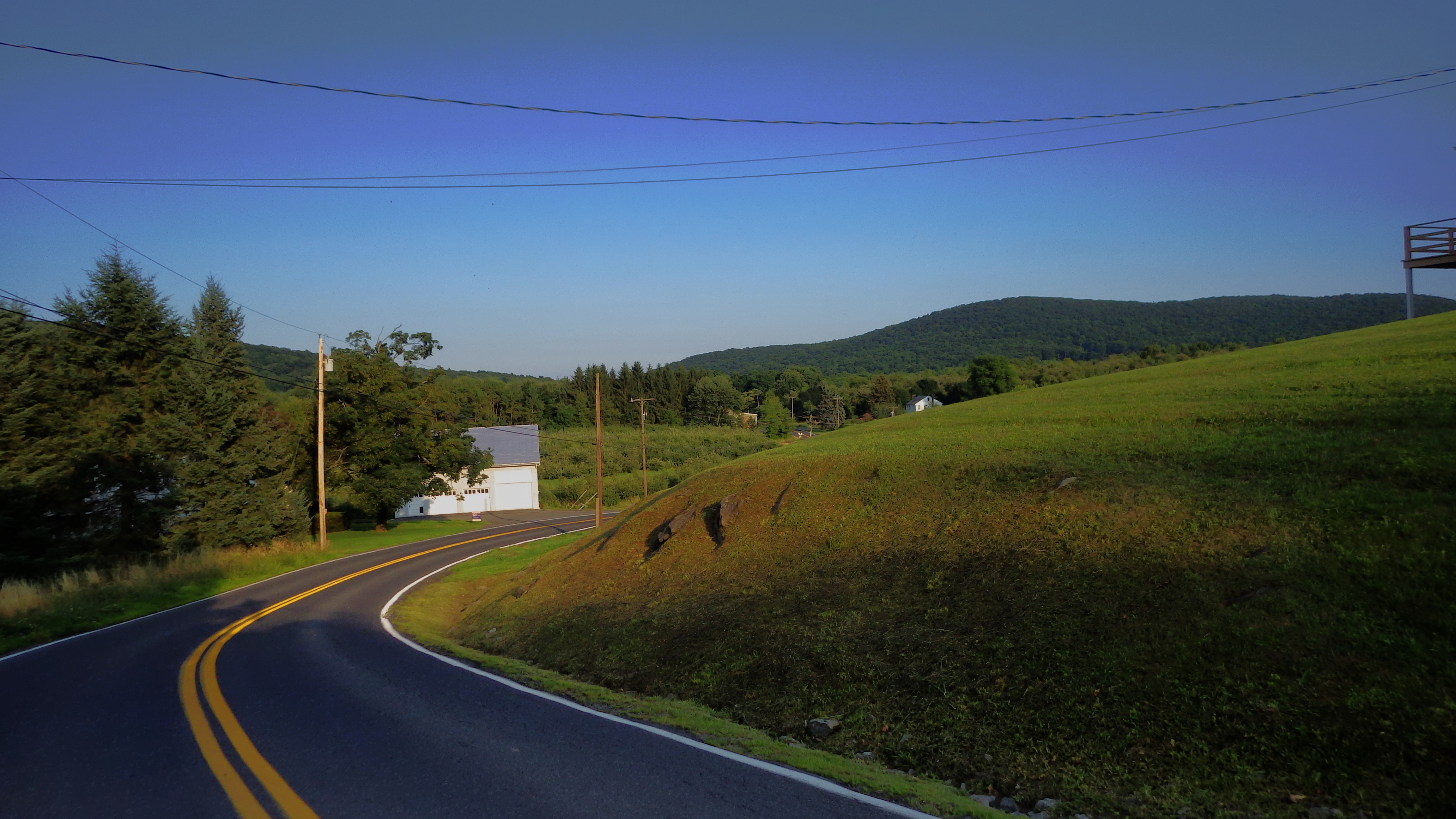
The images below are from Farmer’s Turnpike. This is a good way to avoid descending on 44/55 (about mile 3 on the Ride With GPS map). The last time I descended on 44/55, an idiot in a camper passed me with only inches to spare. He also had the temerity to honk at me. This all happened while I was going 40 mph–or about 5 mph over the speed limit. In any case, avoid 44/55 if you can.You’ll see a lot of pictures of the ridge in this post.
A farm outside of Pine Bush.
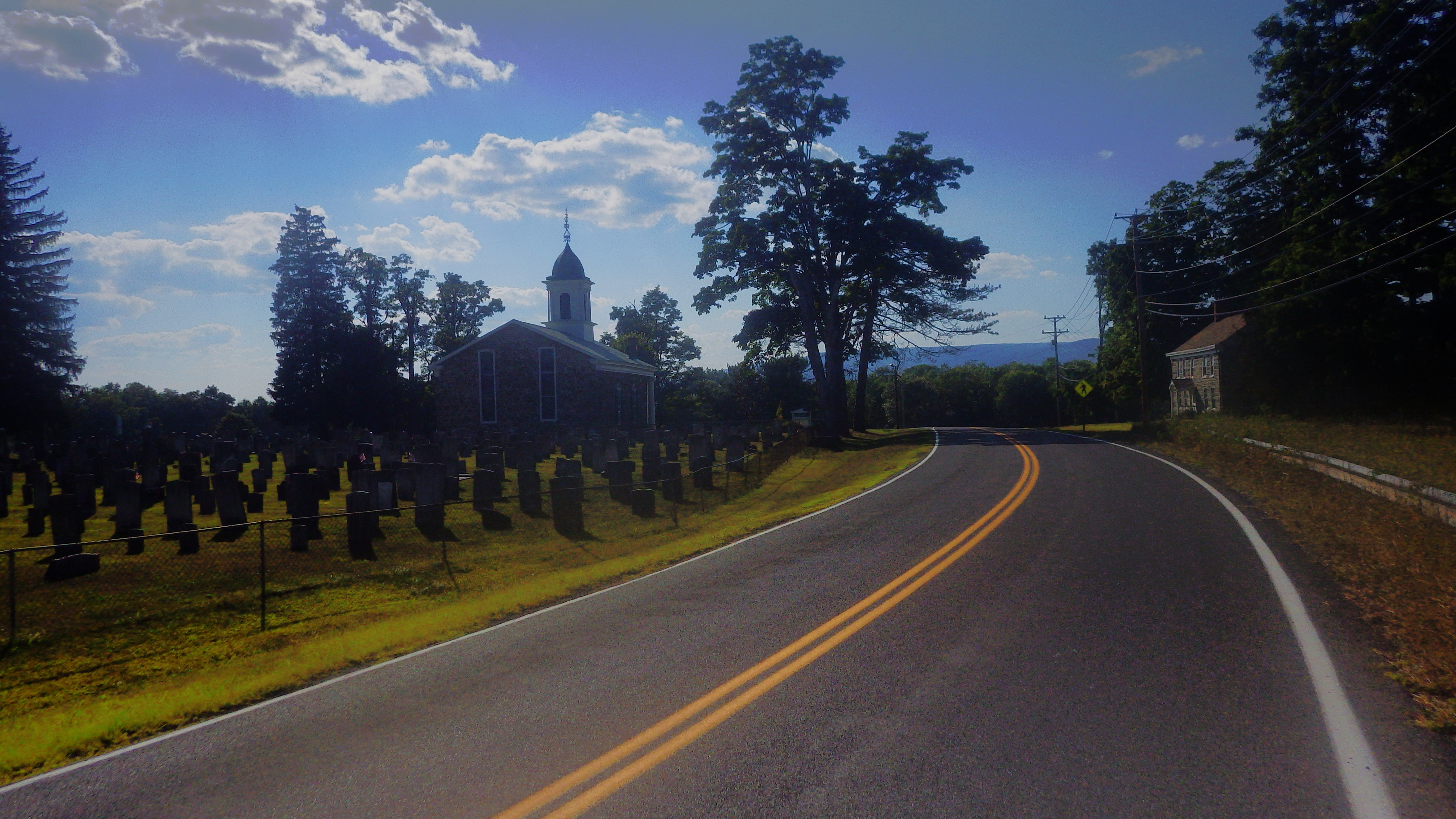
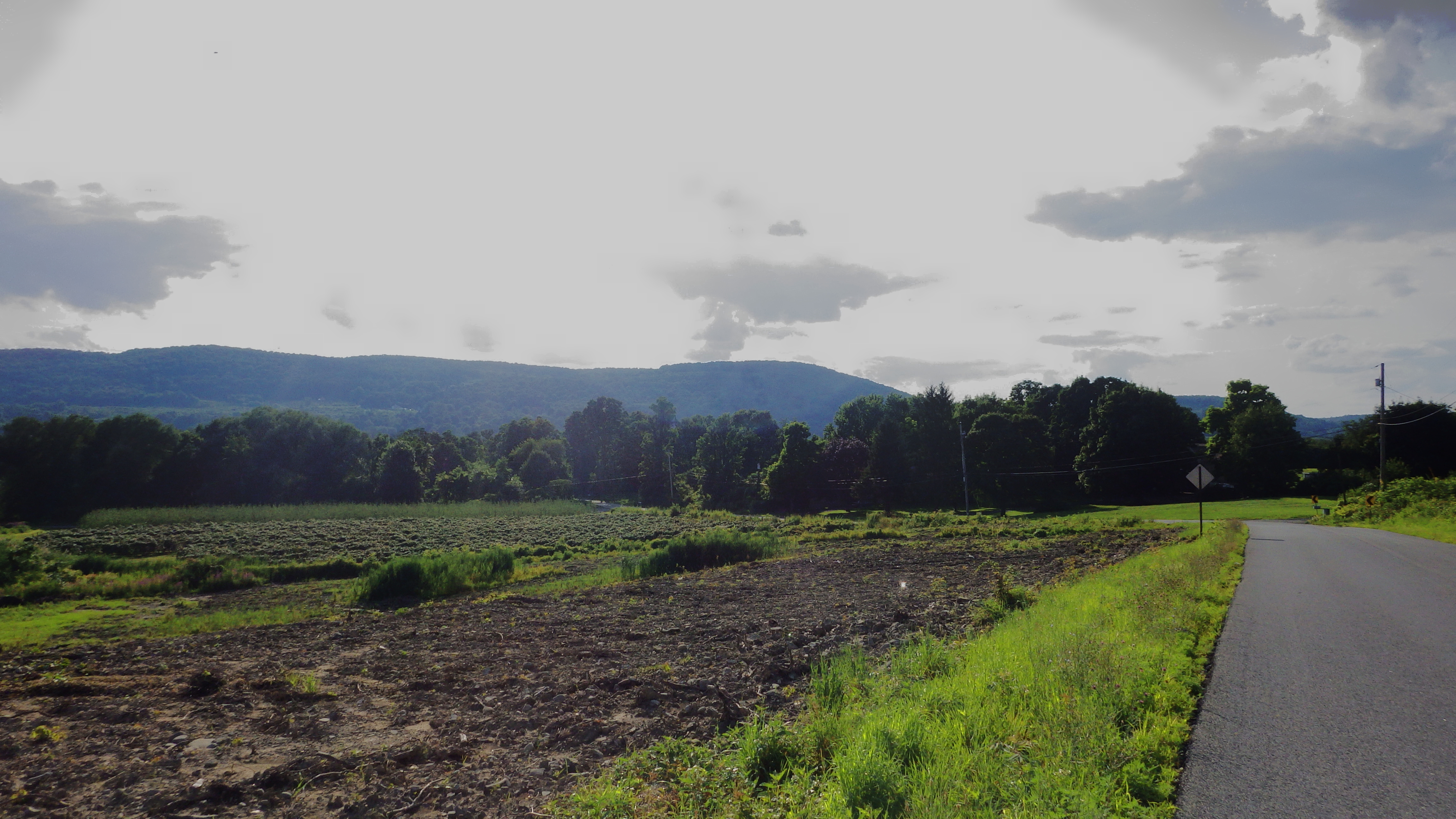
And no matter how long or short the ride, if I pass the Shawangunk Grasslands Reserve, I always stop for a few moments of contemplation.
More to come. I finally have a working camera! Also–a few weeks ago I sadly lost my Exposure Toro light, which has served me well. I hit a big bump on a descent and it flew off my handlebars…and down a cliff. I had failed to ensure that it “clicked in”. Anyway, better the light than me! So I got a new Exposure Strada, which comes with a remote switch so you can choose between low and high beams. Review coming soon.
A brief complaint: For some reason, Exposure has decided to partner with Ibex Sports, thus the new “Exposure USA” website. Why they’ve done so is a mystery to me, because the US website is one of the most embarrassingly half-ass things I’ve ever seen. If I was the folks in the UK, I’d be irritated, to say the least, that I’d put my US marketing in the hands of amateurs, particularly as I remember the international site being quite well designed and useful. I imagine after they lose a chunk of their business they’ll be looking elsewhere.
*At a recent meeting, a famous gastroenterologist (yes, there is such a thing) told me I looked like I have celiac disease. I was like, no dude, it probably has something to do with the 200-300 miles I ride every week.
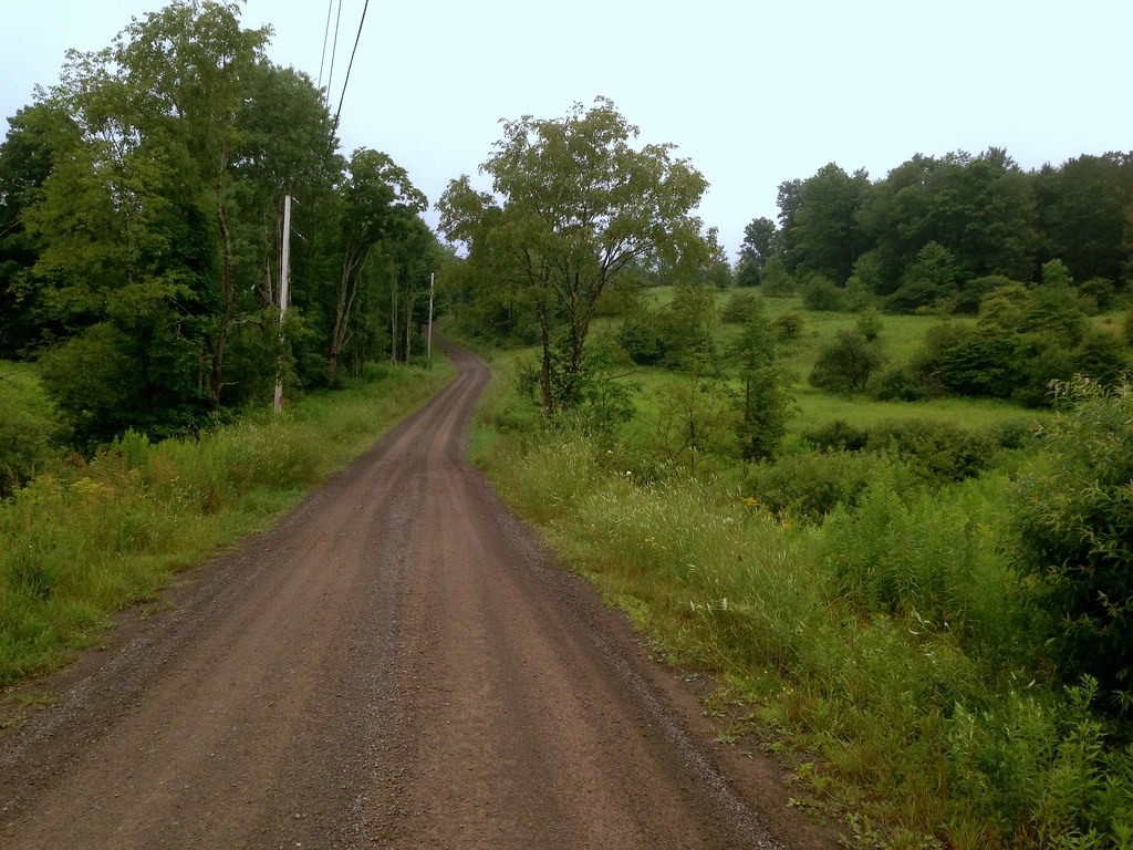
I’m in the Western Catskills for a couple of weeks, and continuing to discover dirt road cycling gems. Before embarking on vacation, I discovered that Bing maps has this wonderful undocumented feature of distinguishing paved and unpaved roads when zoomed in to 1000ft scale and closer. Unpaved roads are traced in brown (how appropriate!) while paved roads are in white. What a valuable resource for charting out dirt/gravel roads! To test the accuracy of this feature, I focused on an area just west of my home that I’m not familiar with, one which I’ve driven through once or twice but never ridden. All new cycling territory. I made note of all the roads marked as unpaved in Bing maps, then went into ridewithgps and charted out a loop of 43 miles roughly bounded by the towns of Franklin, Walton and Delhi, taking in as many of those roads that would fit in the loop, and at least one place to stop for food and water. This region is particularly secluded, so options for provisions are slim.
To my delight, Bing delivered with impressive accuracy! And unlike some of my other routes which take in sporadic stretches of dirt roads, this route spreads them out evenly, alternating dirt and quiet paved segments with regular periodicity (dirt segments are shown in green). I was never on pavement for too long before another delicious stretch of dirt road presented itself in front of me. And even more enjoyable, many of these dirt stretches were little more than old carriage trails, narrow, tree-lined, isolated.
The route starts and ends at the Dutch Deli, a small deli and convenience store nestled in the valley village of Meridale, on Route 28 halfway between Delhi and Oneonta. The owner, speaking with a Dutch accent, kindly agreed to let me park my car in the lot for a few hours. Out of courtesy, I would recommend to anyone contemplating doing this route to check in with the owner to confirm that this is okay.
A few days before doing the ride, a Riding the Catskills reader contacted me to inform me he was going to be in the area and would like to do a ride. Our schedules worked out, so Ben and I met in Meridale to ride the loop together.
From the parking lot, the climbing starts immediately– the route has 4600 feet of climbing in 43 miles, with very few flat segments. The shark-tooth elevation profile illustrates this:
Not two miles into the ride, we experience the first dirt road, Sutherland Rd. As it climbs to the top, it narrows into a tree-lined, single lane road with cut pastures on either side.
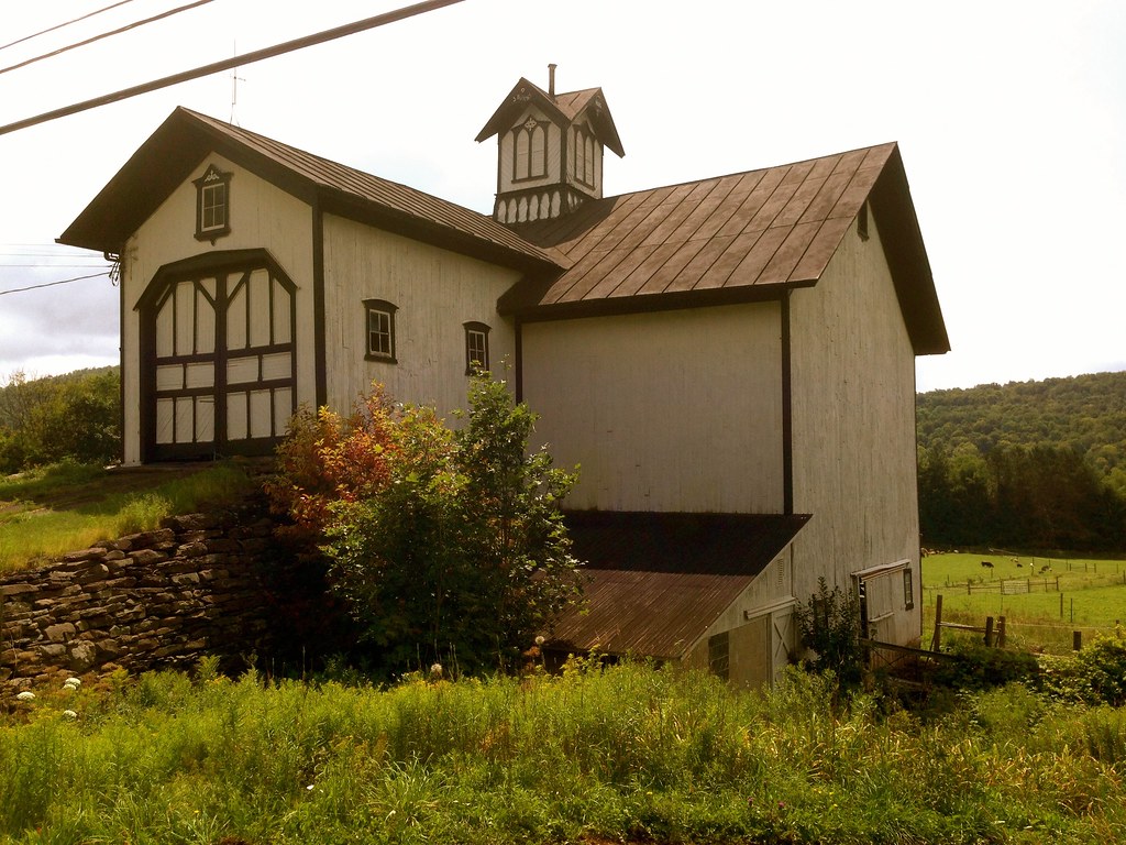
Notably, there were more working farms, and less abandoned barns, on this route compared to other areas I’ve reported on.
The other regular site for me, besides dirt roads and barns, was Ben, who, being a stronger climber than I, was always ahead of me in the climbs.
The only road that seriously tested the traction limits of my Compass Babyshoe Pass tires was Pomeroy Rd in Treadwell. Here, the usual smoothly graded dirt turned first to rocky double track, and then to muddy logging trail, which continued upward for what seemed like a long time. At one point I had to walk as the smooth tire tread began to sink and spin in the mud.
From Pomeroy Rd, a smooth and fast paved descent whooshed us down into the adorable village of Treadwell, the first and only rest stop along the route (and indeed, the only village along the route other than Meridale).
If you’re in Treadwell, be sure to stop in at Barlow’s general store and try their incredibly good homemade donuts! From Treadwell there were two more dirt segments before merging onto Rt 28 for the last mile back into Meridale. (This was the only stretch of state highway in the entire route!).
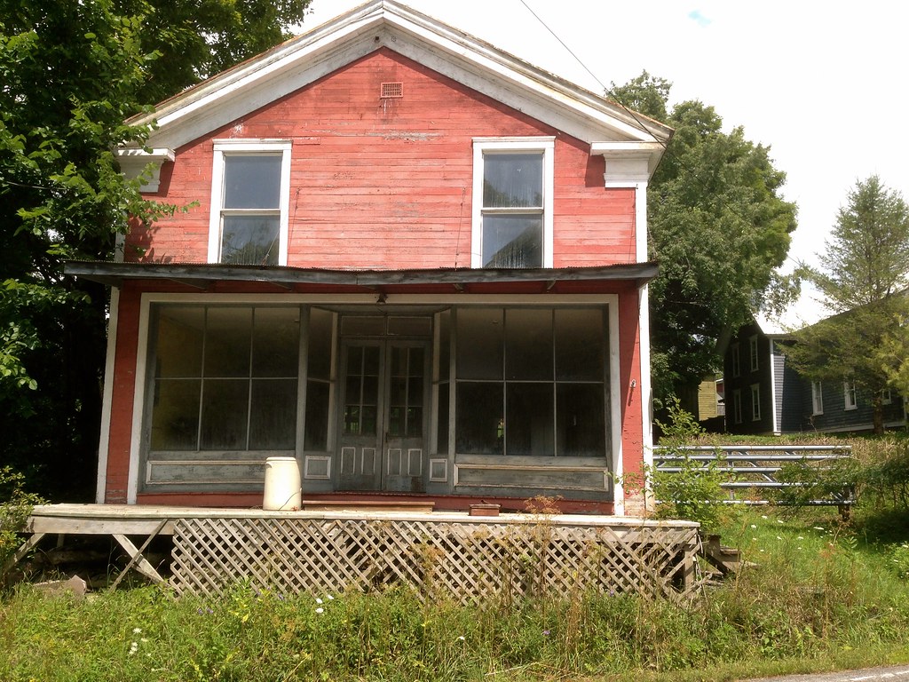
This cute abandoned storefront could be something wonderful… too bad it’s literally a couple of feet from the highway.
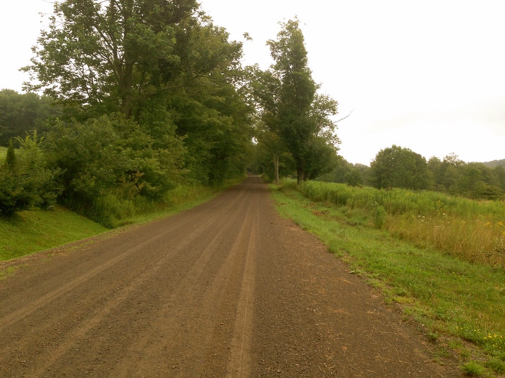
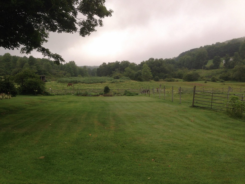
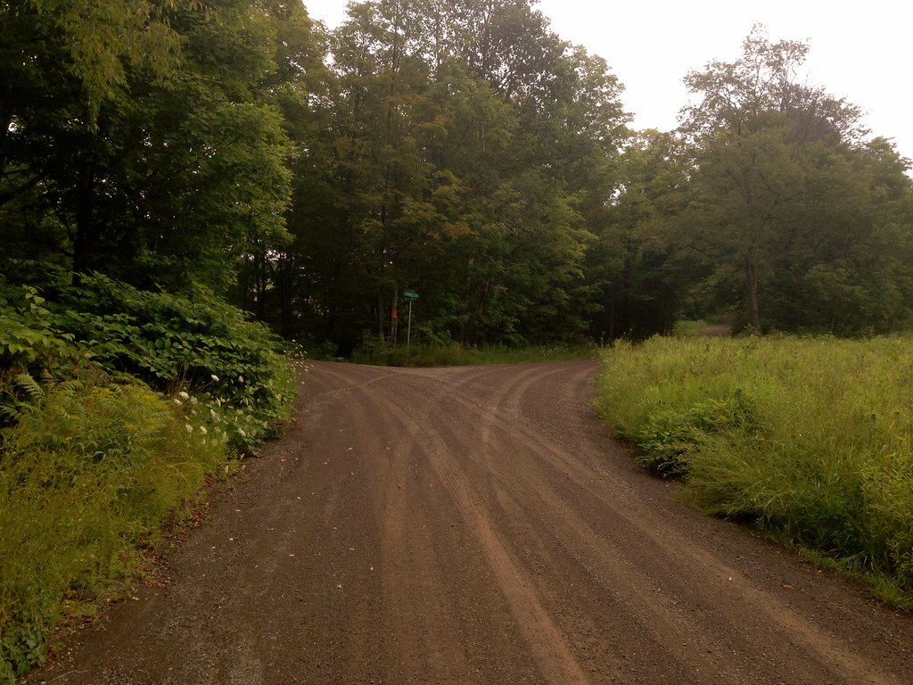
Admittedly, while engaged in good conversation with Ben throughout the ride, I didn’t pay much attention to where I took these shots, so here are just a bunch of random scenes from the ride, in no particular order:
I’d definitely consider this route a ‘must ride’ for anyone in the area. And finding another wealth of dirt roads and amazing cycling in another little corner of the Catskills just over from mine reminds me just how much more remains to be discovered. I’ve barely scratched the surface.
Hi all! I know the blog has been pretty dead recently; John S says he doesn’t want to “contaminate” the blog with racing reports (although I told him to go ahead), and of course Anton isn’t a full-time Catskills resident, so he only posts when he’s here. I’ve been traveling, working, and riding a lot, but no major adventures. Mostly daily 20 to 40 mile rides, and you don’t need to hear about that, do you?
However, I had an amazing ride today. Only 30 miles (with getting lost), 27 actual miles. I expected the ride to, well, suck but it turned out to be one of the most beautiful rides I’ve been on in the last few years. I’ll let the pictures speak for themselves. Sure, it lacks the isolation and majesty of the Catskills proper, but the views are lovely, the traffic mostly absent, and there’s only about 1700 feet of climbing. I recommend it highly if you’re in New Paltz and want a shorter ride, or if you want to incorporate it into a longer segment.
And don’t forget, all of my routes are here. I went through the effort of deleting (most) of the bad ones, so you really can’t go wrong. Sort by distance and pick!
Also: As much as I hate promoting Dutchess County over Ulster, if you live in NYC you’re missing out if you don’t do the summer classic. I perfected this route over about 10 or 12 repeats, and it’s the most fun you can have on two wheels, I promise. One of the few things I miss about living in the city.
Today marks my 6-week anniversary at the new house. Compared with Olivebridge, pretty much everything is better. We’re much closer to town but still in an extremely rural setting (in fact, cattle graze just behind our house). We have real internet, and not that crappy satellite internet that only worked 75% of the time, and then slowly. Our cell phones work. So everything is great.
Sadly, the riding just isn’t as good out here as it was up in the Catskills. Don’t get me wrong, this is grade-A cycling country, and I think the vast majority of cyclists would probably prefer it to the Catskills. But I miss the mountains, extreme isolation, and adventure of riding in the high Catskills. Then again, it’s nice to know that I won’t necessarily die undiscovered of extended exposure if I end up in a ditch some day.
The Catskills are still easily accessible, it’s just a minimum of a 60-mile round trip to get up there–not really feasible for a weekday ride.
So…I’ll stop complaining. Really I am blessed.
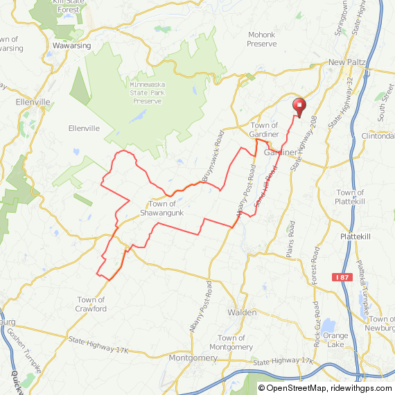
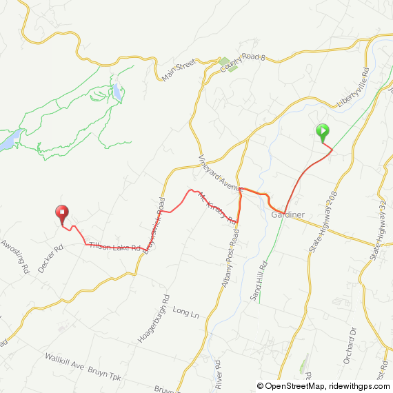
Here’s a short and fun route for you. You can start out of New Paltz or Gardiner.
My camera is pretty much dead, but I did manage to get a few non-blurry photos of the route (Amazon says my new camera will be here by June 5). The route mostly passes through farm country, and there’s a convenient stop around mile 20 in Walden, which has a range of options for food. This route is easy as can be: Only about 1300 feet of climbing over 31 miles. Take a moment at mile 9.5 to go down the dirt road on the left to the Shawangunk Grasslands National Wildlife Reserve. It’s beautiful.
This picture is from a previous ride. This is the Aumick Road entrance to the Shawangunk Reserve, a park that John S has written eloquently about. If you’re interested in riding up there, I’ve mapped a route to the entrance for you here.
That’s all for now. New routes should be coming fast and furious in short order. Also coming soon: The return of Rene!
After a brutally long, cold and snowy winter, I had been itching to get back to cycling. I bike commuted the short distance to work through most of the winter, but that type of cycling is insignificant and serves little more than utility. It doesn’t count. Cycling for the sake of cycling largely ceases during winter in New England, and I was eager to get back into doing long distances, to take in scenery, to have no deadline to be someplace, to explore. I happened to be up at our Catskills home for the weekend for other reasons, and the weather was promising to be perfect for a spring ride.
I had been wanting to try a new route that I mapped last year, which would take me to the Pepacton reservoir. It would take me over a couple of mountainous dirt roads which I’ve ridden before, but other than them it would be mostly new territory. I was keen on doing this route not because I was particularly drawn to seeing the reservoir, but because the route takes in a 10-mile, continuous descent, and the thrill of the descent is, primarily, what compels me to climb hills.
I had done only one long ride this season, just last week, so I wasn’t in good enough shape to tackle a mountainous ride of too much distance, not this early, but I wanted to get in 100k. Typically my Catskills routes average 1000 ft of elevation gain per 10 miles, but 6200 ft would be too much this early in the year– that’s like D2R2, a ride I spend all summer preparing for! So I cut some of the mountains out of the route, and incorporated 10-15 flat miles on either end, leaving some pronounced hills in the middle (and that 10-mile descent!) for a more reasonable 5000 ft overall elevation gain:
I started out in Bloomville, after having an excellent breakfast at Table On Ten, just down the hill from my house:
From there I followed the Delaware River, West Branch, along the flat Back River Road for 15 miles through Delhi to Hamden. But the flatness ends abruptly with the turn onto Basin Clove Rd, which takes you over the mountain separating Hamden from Downsville, shown in this photo:
Tapped sugar maples line Back River Road:
On to Basin Clove Rd, the first major climb: cat 3 with an average grade of 9.5% for more than two miles.
I’m never good at capturing the intensity of a climb looking up a hill, it always appears more accurately steep looking down it, so this is what it looked like behind me:
Initially, I lamented the lack of flourishing tree buds and other signs of sprouting greenery that mark the progression of spring. A little early for that in these parts. I’d have to settle for the residual shades of grays and browns from a retreating winter. But I soon realized that early spring in the Catskills is the season of water– equally beautiful in its own right, and what I missed in terms of emerging spring color was made up for by the tumbling kinetics and sounds of water, everywhere and all around me. Mountainsides turn into waterfalls, drain ditches into mini rapids. It occurred to me that it was perhaps most appropriate that I was riding this route in early spring, because the visual (and audible!) cues to just how impactful this region is to New York City’s water supply were unavoidable. You see, NYC gets its water from a network of man-made reservoirs located in the Catskills, built between the 1940s and the 1950s. The Pepacton is the largest of these. The water from the reservoirs is channeled through a network of aquaducts and tunnels to the city more than 100 miles away. NYC prides itself in its water, routinely judged among the finest municipal waters in the nation, and the city goes to great lengths to ensure the quality of its water is maintained through extensive land conservation efforts.
And it was here, climbing up Basin Clove Rd, that I first realized how much water drains down the mountains. This is what the drain ditches looked like:
The sound of running water created a soothing wall of white noise, which helped me settle in to that meditative zen-like state you need to get into to help you focus on getting up the mountain. Of course, stopping every so often for a break to take photos helps, too.
Eventually I reached the top of Basin Clove Rd, and got to enjoy a similar view to what I just showed you, only this was taken without turning my head backwards: the start of the 10-mile descent down, down, down Gregory Hollow Rd to Downsville:
More water along the way.
Did I mention water?
The sound of water was so pronounced, I took a recording of it:
Eventually the descent ended in Downsville, a small village with a convenience store, convenient for filling up my water bottles and using the restroom. The Pepacton reservoir’s western tip is in Downsville, less than a mile from the Downsville covered bridge.
From the Pepacton, there’s no way to get back to Bloomville without going over another mountain with at least one cat 3 climb. For the return I took Huntley Hollow Rd to Fall Clove Rd to Maggie Hoag Rd– each of these roads is a milder climb than Basin Clove Rd, but the first two still qualify separately as cat 3 climbs and collectively the three roads accounted for 2/3 of the total climbing, in just 1/3 the total distance of the route.
Fall Clove Rd is a beauty. Long and winding, with lots of moderate ups and downs, none too intense, and lots of pleasant pastureland views.
Maggie Hoag Rd, the last dirt segment and last climb of the route, was hard. Not according to the elevation profile, but because by now I had exhausted my reserves. Here it is (head turned backwards again):
Back in Bloomville, I realized that in just a few more weeks the dreary remains of winter will have finally vanished, having yielded to spring’s new growth, and by the time I get another ride in, everything will look different. And just as slowly as spring marches on toward summer, the sound of water will diminish. And I’ll miss it.
Sure, it’s not artisanal, bespoke, fashioned by crafty dwarves, or worth the GDP of a small island nation. On the contrary, it’s a mass produced gas pipe chariot that weighs almost twice as much as my race bike.
But it’s a superfun ride, and most importantly, it’s something I can beat the crap out of without having to do much more than hose it off and lube the chain. I expect to put a lot of miles on it this winter.
It’s a Surly Straggler frameset, Hayes CX-5 brakes, 32-spoke 30mm DT Swiss wheels. Every component is heavy and practically indestructible. I especially like the brakes, which significantly outperform the Avid BB7s on my cross bike, admittedly with a significant weight penalty. The only non-bulletproof concession is Grand Prix 4 Seasons 28c tires. I personally can’t bear the ride of hard commuter tires, and I can’t afford handmade rubber. I find the 4 Seasons to be a great in-betweener tire. I do wish they made them in a 32 or bigger size though.
I got the frameset from Billy at Overlook Mountain Bikes in Woodstock, who really went the extra mile to get my size, which wasn’t technically in stock anywhere in the world. (I’m a 54 in every bike ever, but the Straggler geometry is extra long, so I needed a 52.) The Bicycle Depot in New Paltz came through, as always, with excellent component advice and everything else.
I set the bike up single speed, but with two chainrings and two cogs, to give me a couple of gear options, 42×16 (70 gear inches) and 40×18 (60 gear inches). 42×16 will get the most use, but I’ve been doing big hill repeats a couple of times a week for training, so I also wanted a small enough gear to haul this hunk of iron up Mohonk 5 or 6 times in a row.
I had to take the bike out for an inaugural ride on day one, even though it was 40 degrees, foggy and raining.
Visibility was not great in the low-lying areas, so I headed up toward the Catskills. I was also curious how 42×16 would work on some of the more significant hills up toward Woodstock. It turned out to be mostly fine, up to maybe 10% grade; I could manage a cadence of somewhere around 20 and still keep the bike moving forward without either weaving like a drunken mailman or hauling hard enough on the pedals/bars to rupture my spleen.
Riding single speed is a great experience. The drive train is quiet and smooth, and the only way to adjust effort for grade is to make your legs go faster or slower. It’s a more connected, dare I say holistic experience than riding a geared bike. On the down side, you just can’t get where you’re going as fast.
Here’s the Ashokan Spillway, always an impressive sight. I know it’s a recurring theme for me, but I wonder how many New York City residents realize what a scenic journey their tap water has taken before arriving in their bathroom.
I did unintentionally end up on Yerry Hill in Woodstock, which has 1/2 mile of 12% and a final kicker of over 20%. (I was aiming for Ohayo Mountain, which is a real climb but not a gutbuster, but I missed the turn.) Yerry Hill is especially mean in that there’s a really steep section that looks for all the world like it tops out, and then you come around a little bend and see the stupidly steep section in front of you. Unsurprisingly, I didn’t quite make it up the kicker in 42×16, but it wasn’t completely out of the question, and I think I could have managed in 40×18.
All in all, a great first ride on a fun bike. By the time I got home, my right hand was completely numb and my shoes were full of freezing water. What more could you ask for?


 From the Pepacton, there’s no way to get back to Bloomville without going over another mountain with at least one cat 3 climb. For the return I took Huntley Hollow Rd to Fall Clove Rd to Maggie Hoag Rd– each of these roads is a milder climb than Basin Clove Rd, but the first two still qualify separately as cat 3 climbs and collectively the three roads accounted for 2/3 of the total climbing, in just 1/3 the total distance of the route.