Category Archives: guest posts

Win a Garmin: We Have a Winner!

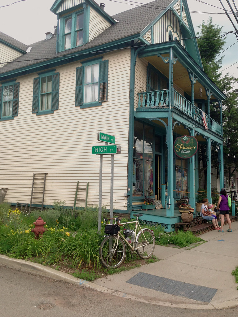
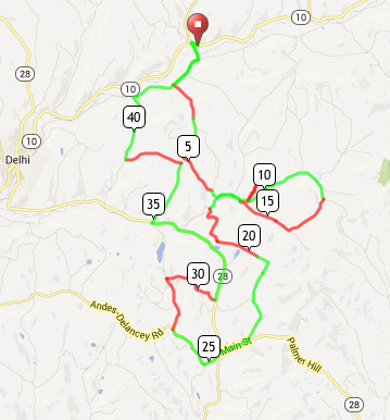
Today, we have a post from Ben, resident of Brooklyn and the winner of the Win a Garmin! competition. I should have posted this back in October, but alas, life (mainly house hunting) got in the way. Anyway, I think we could all use a refresher on the beauty of the Catskills in the late summer to remind us that not all is ice, snow, pain, and suffering.

As Ben will attest, the Garmin arrived safe and sound, so this wasn’t just an evil ploy to generate content for Riding the Catskills. Stay tuned over the next week for the rules for this year’s Win a Garmin! contest. Suffice it to say it will be open to all riders, regardless of where you live. That means that this year, Catskill residents qualify for the contest.

Here’s Ben’s excellent story.

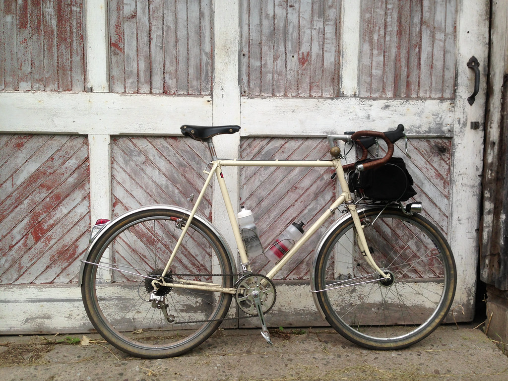
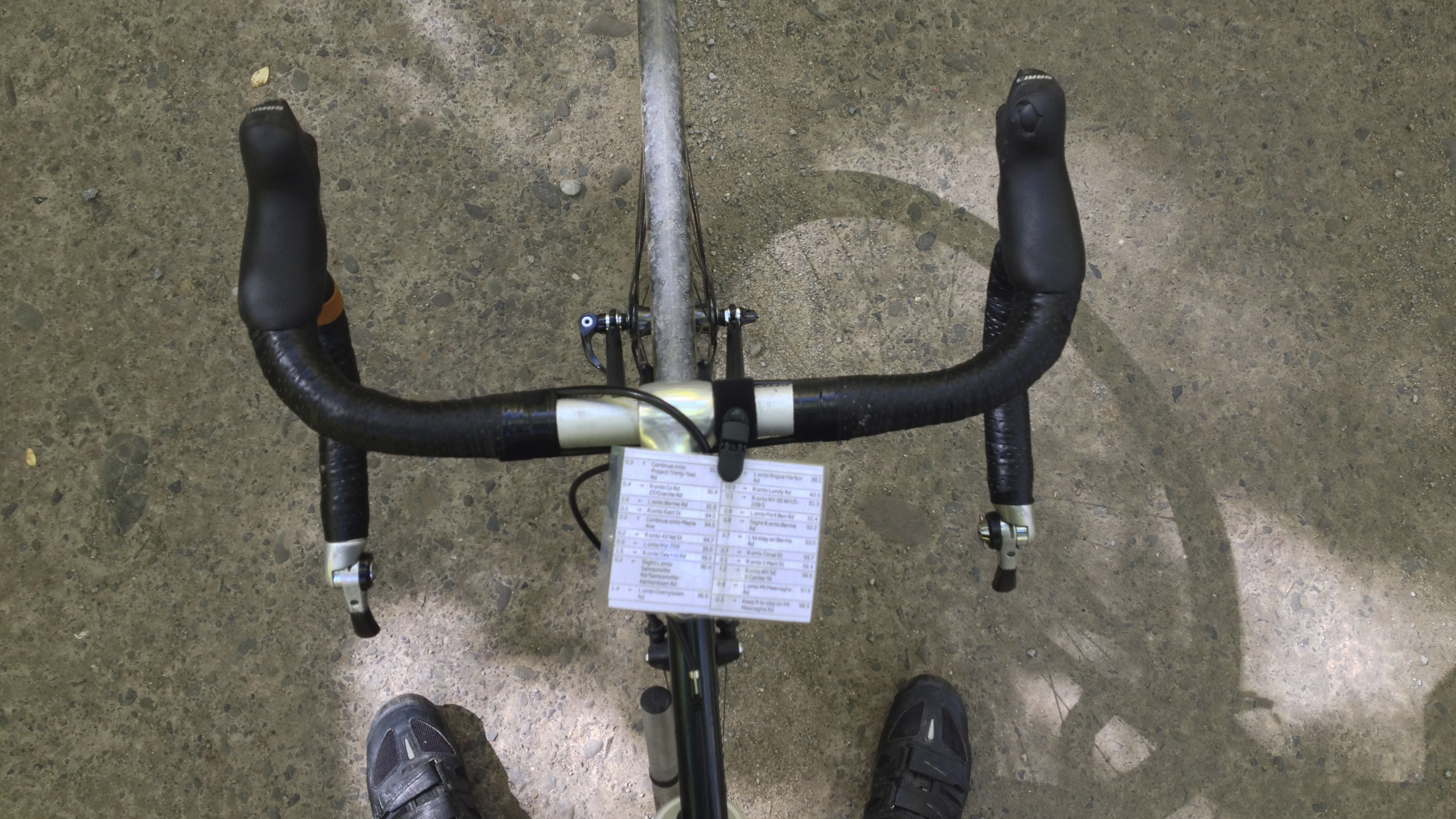
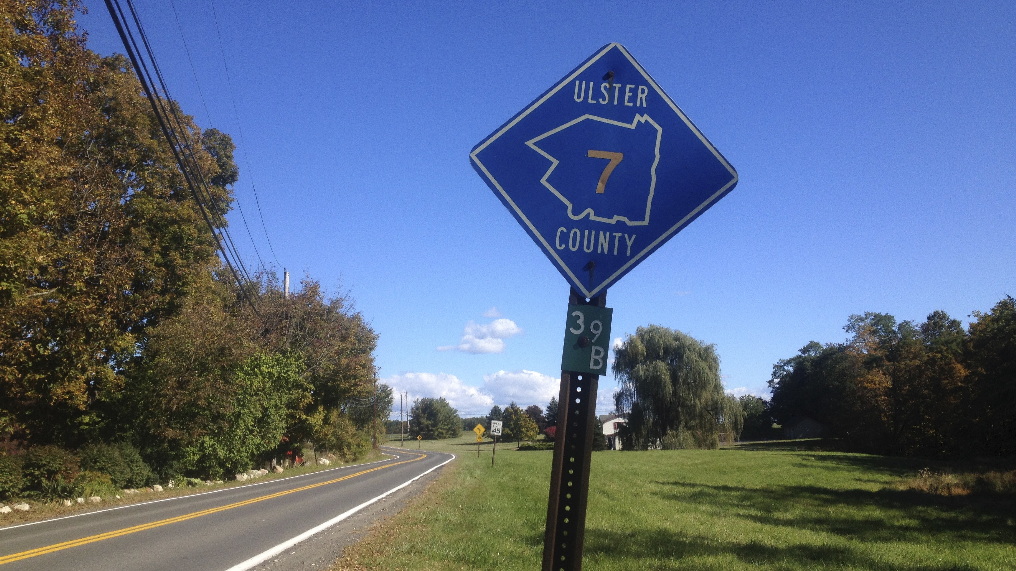
My original plan for this weekend was to upload my Ride With GPS route to a borrowed Garmin Etrex 30 GPS unit and have it seamlessly guide me turn-by-turn through a 100 mile route in Ulster County. At the laundromat the night before, my bike tipped over and the Etrex 30’s screen broke without even a direct impact. AAAARRRGGGG!

Route map

I cursed the borrowed Garmin and my poor fortune and jumped on Ride With GPS to print a paper cue sheet. A couple of months ago I paid for the bare-bones membership ($8/month – highly recommended) to print a cue sheets with more formatting options.

1. Cuesheet

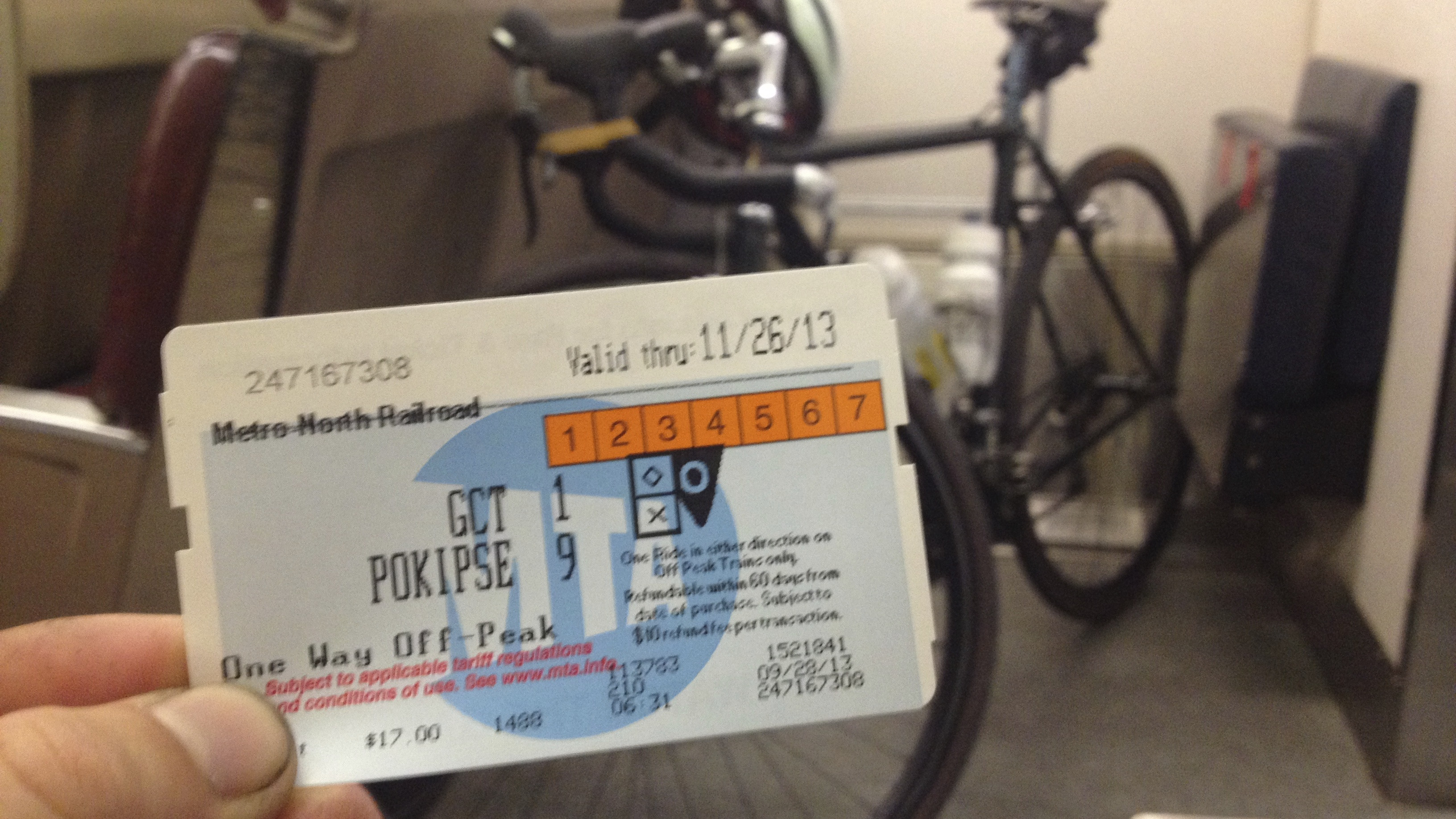
In the morning, I grabbed a BLT on a Brooklyn Bagel and rode up to Grand Central Terminal. On a Saturday, trains leave at 6:43 am and 7:43 am for Poughkeepsie along the Metro North Railroad’s Harlem Line.

2. MNRR + Bicycle

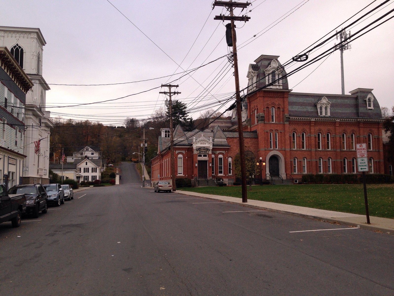
Got to Poughkeepsie around 8:30 am and spun through some side streets.

3. Leaving Pougkeepsie

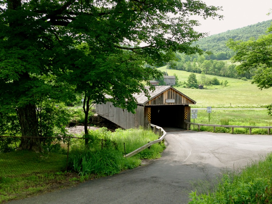
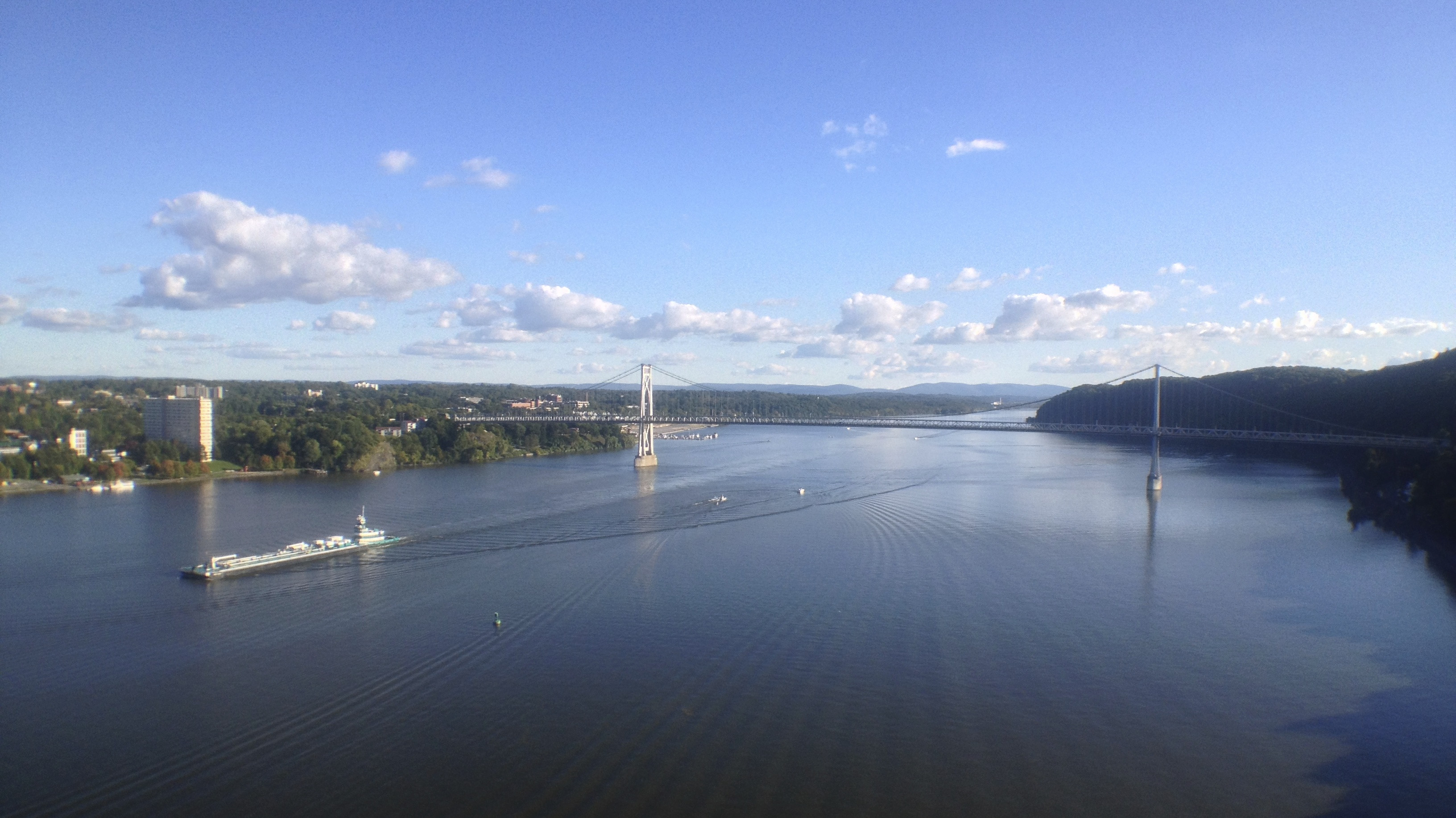
I routed up and over the Walkway Over The Hudson, a massive pedestrian/bike-only bridge. The entire span engulfed in a cloud giving it a strange surreal feel.

4. Walkway over Hudson

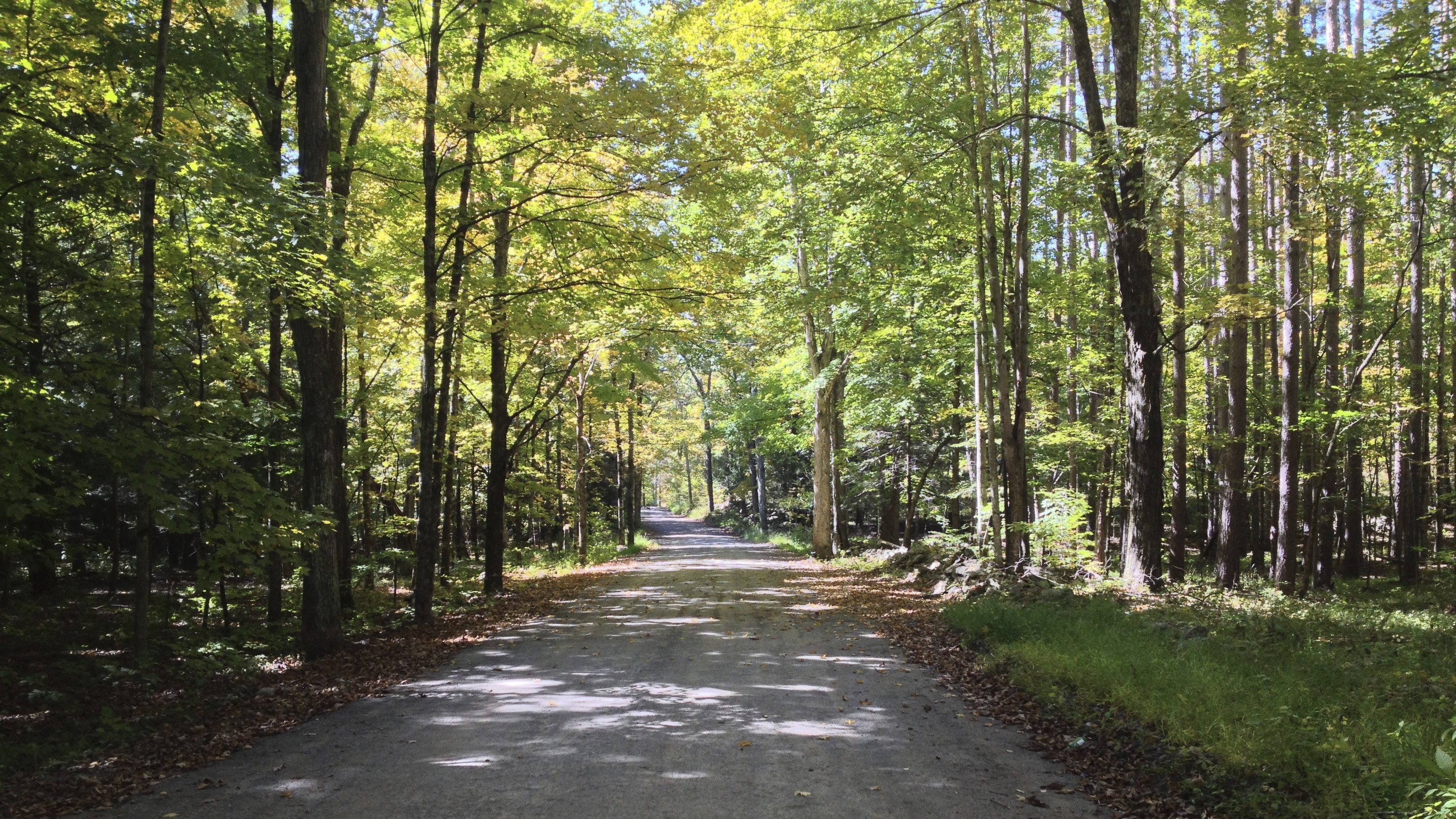
Next few miles are along the Hudson Valley Rail Trail. Turn left out of the big parking lot and onto smooth paved roads. I opted to cross 299 and follow Kisor and New Paltz Roads for the sake of being on lightly trafficked road. Eventually leading back to 299 and down into New Paltz.

5. Hudson Valley Rail Trail

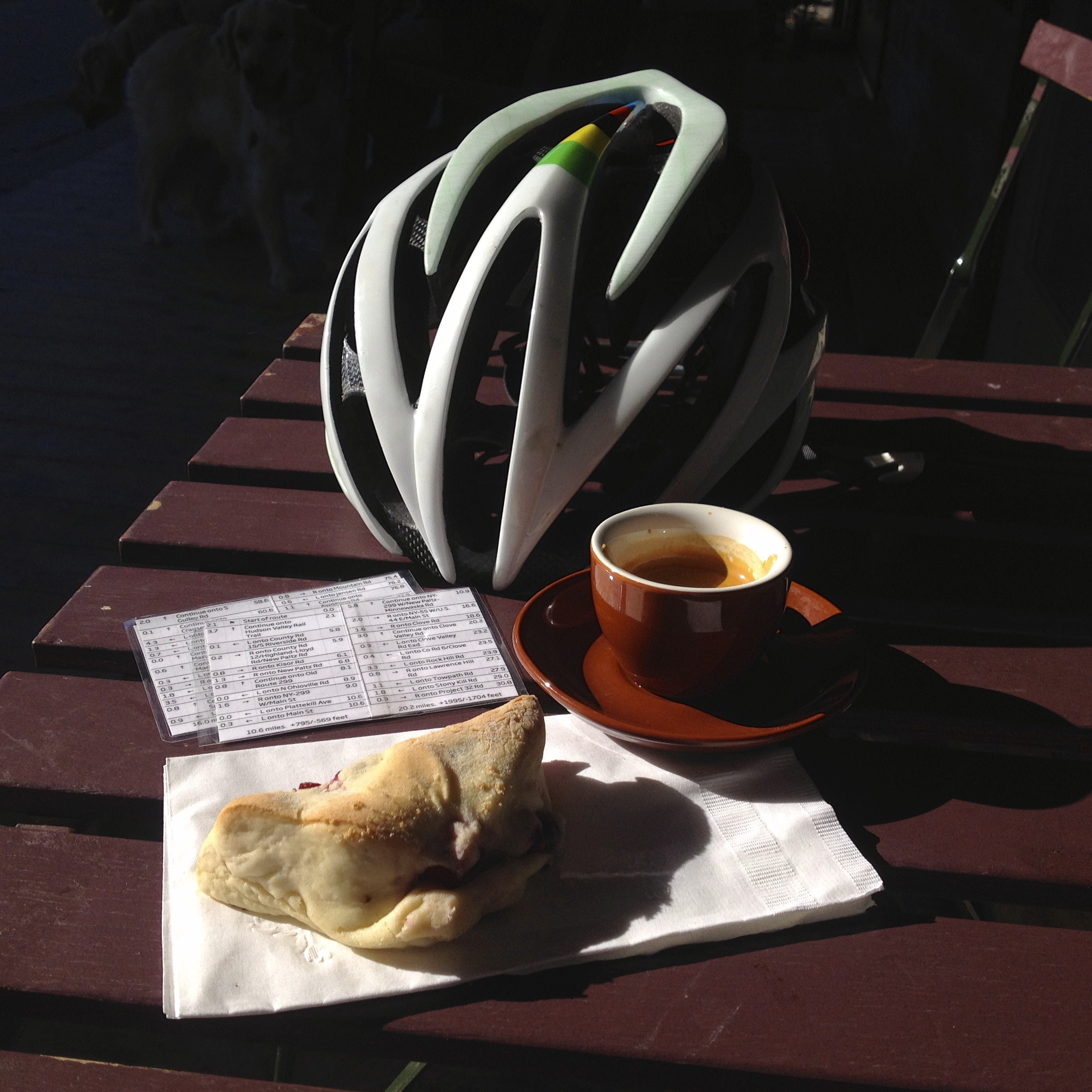
I often stop at Mudd Puddle Coffee in New Paltz for a fruit scone (tucked one into a pocket for later too) and an espresso, as well as topping off my bidon.

6. Coffee and Scones

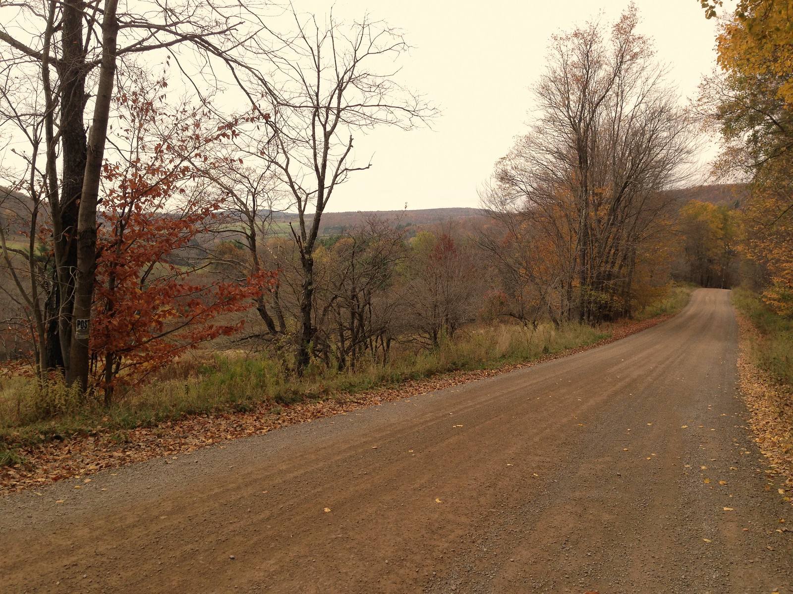
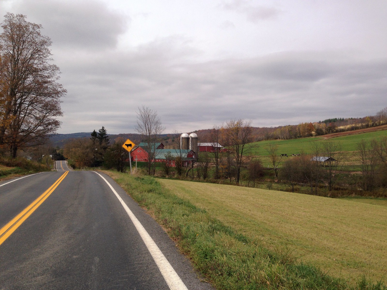
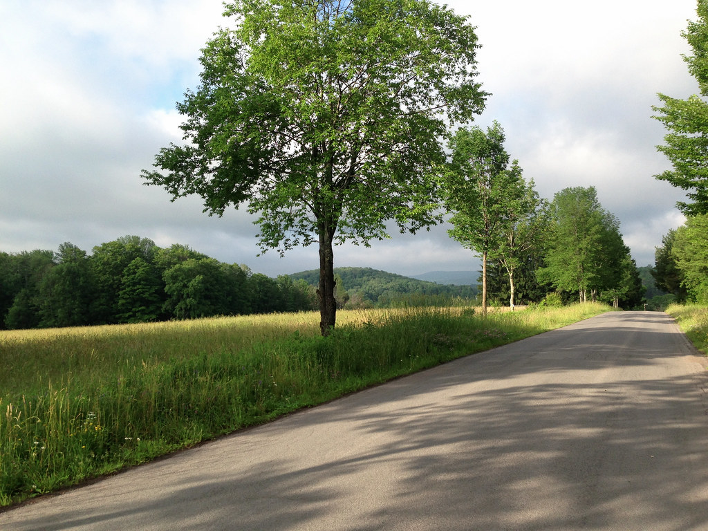
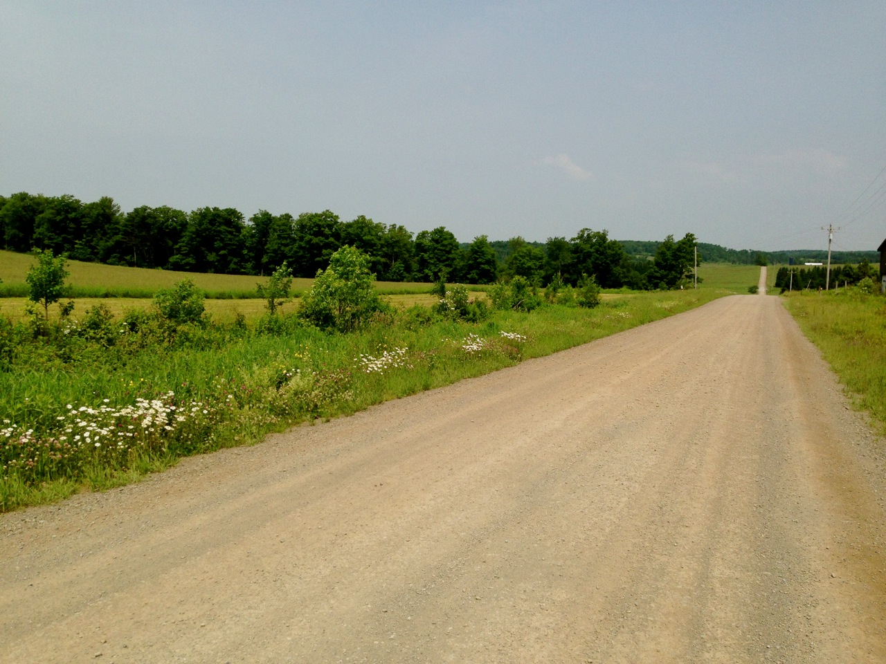
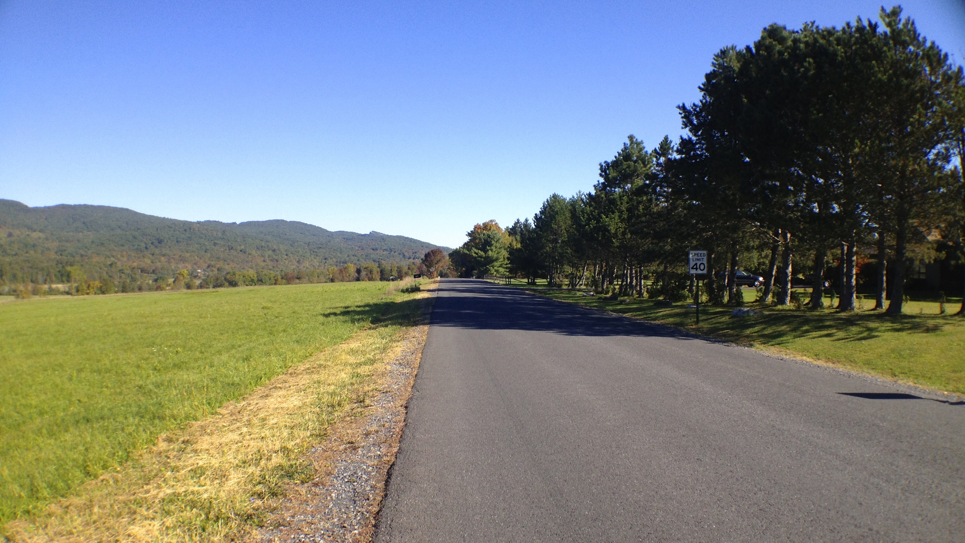
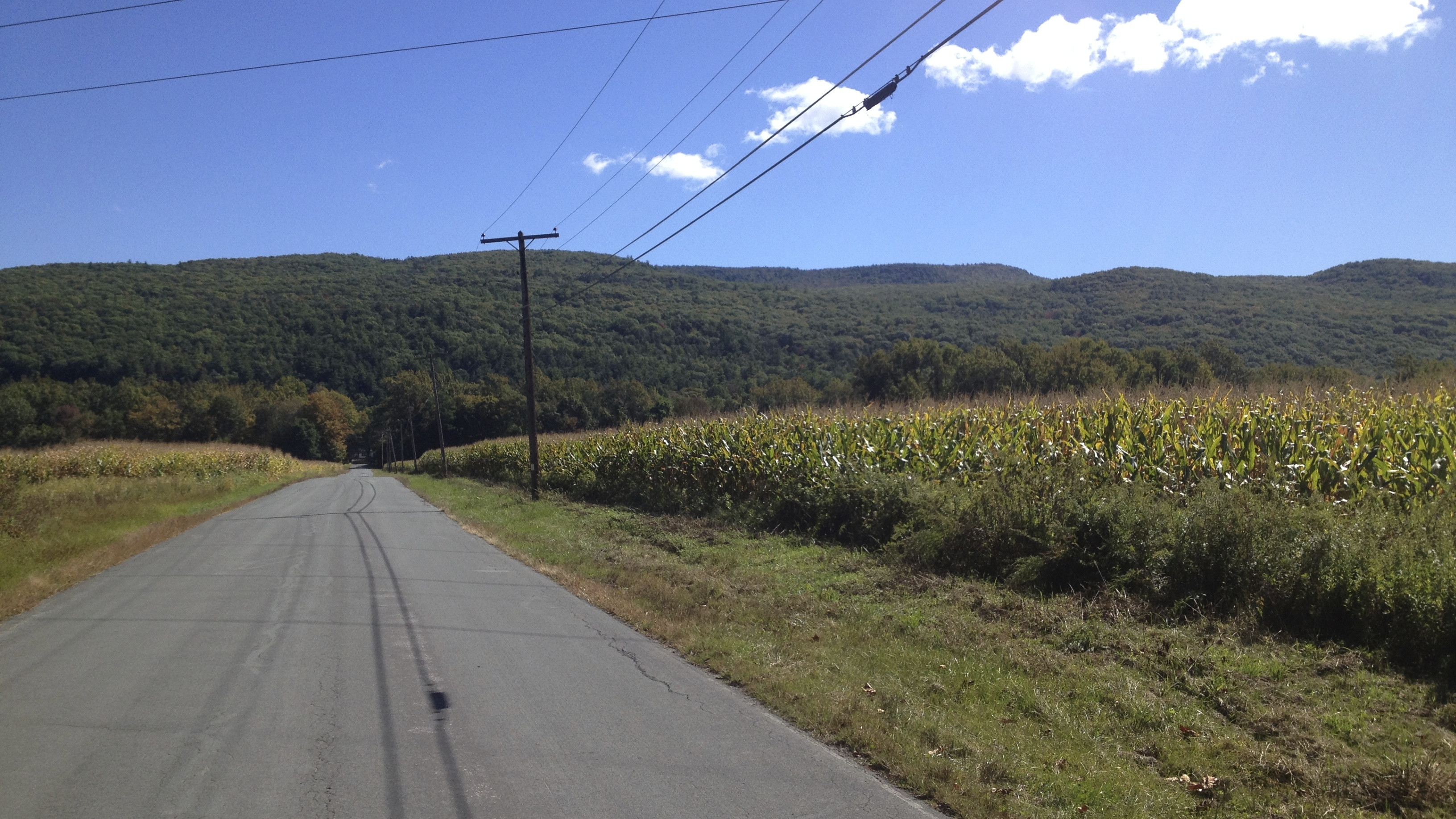
299 out of New Paltz is fast and smooth, though not much shoulder so keep your head on. Along the way I stole an apple at the Jenkins-Leukens Orchard and stopped to photograph the Shawangunk Ridge up ahead, which I would be crossing soon.

7. 299 & Butterville Road

8. Shawangunk Ridge

Hung a right at the Minnewaska Lodge and dropped into that small chainring, I was headed up for the next few miles.

9. 180 turn

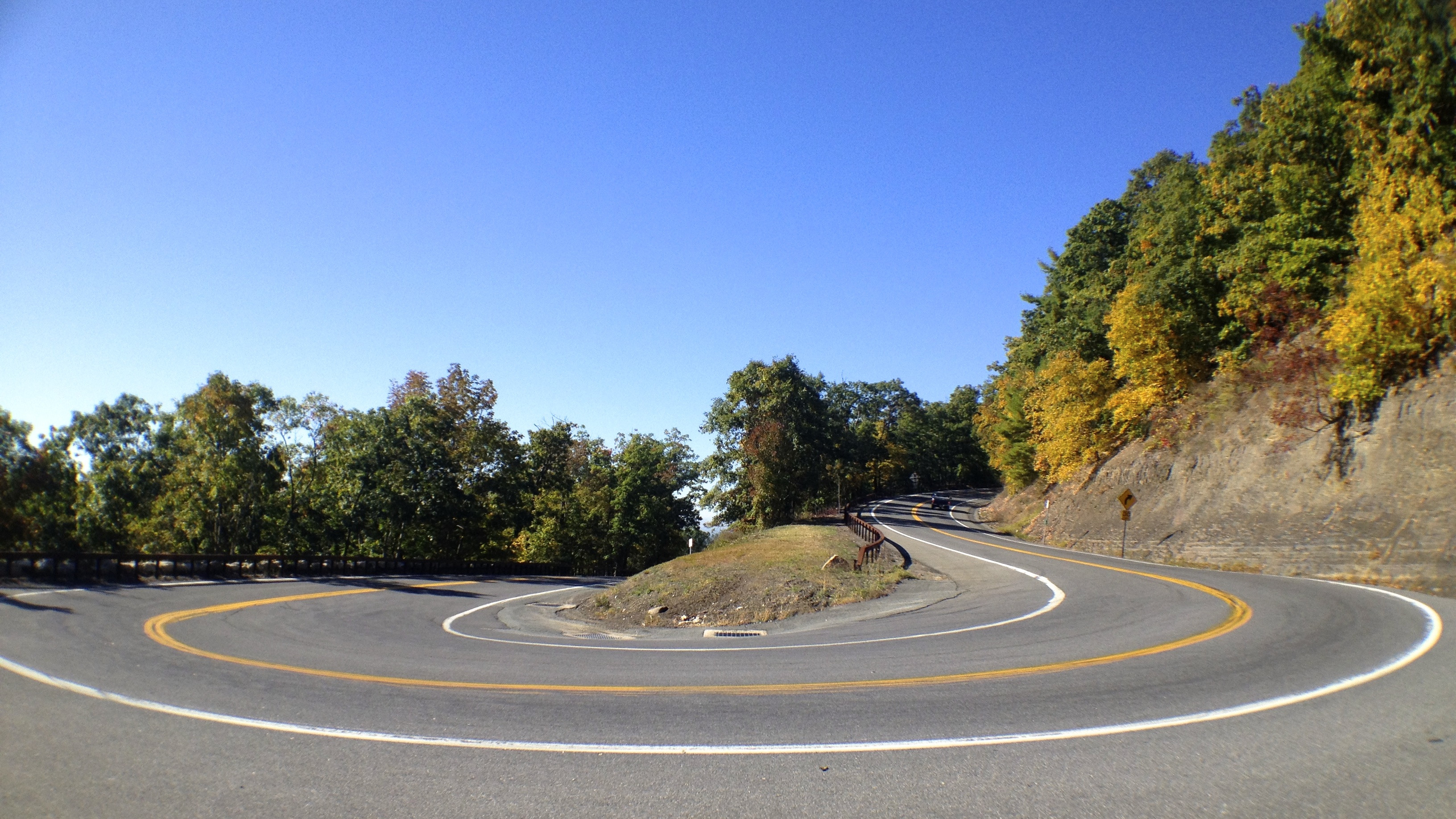
This particular turn is really beautiful to me. I’ve always enjoyed tight, sharp corners and the scale of this particular curve always makes me smile.

10. Climbing 44

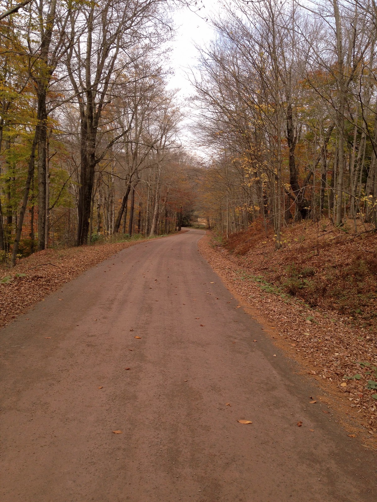
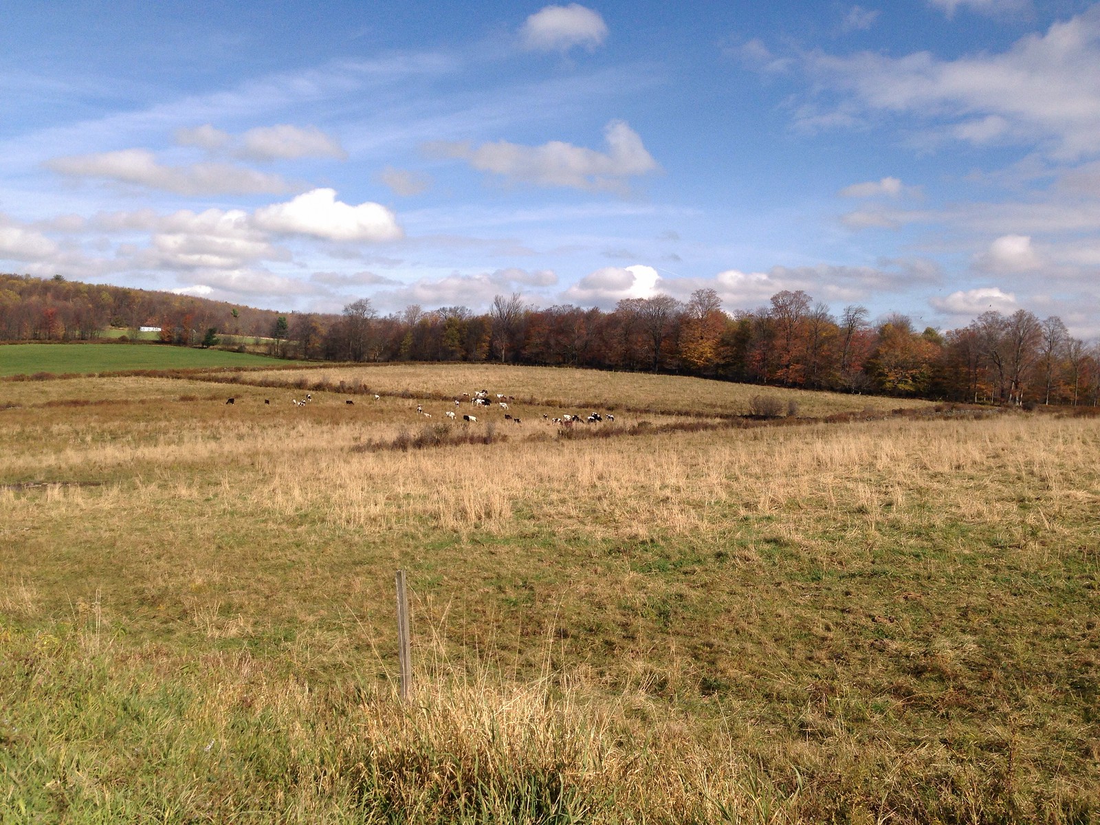
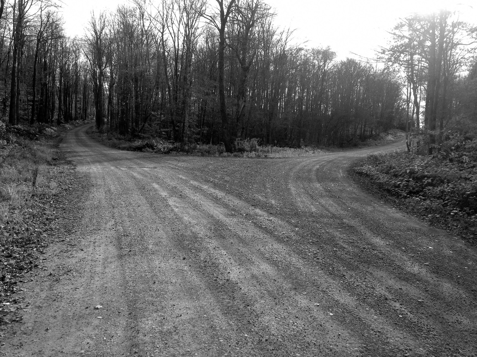
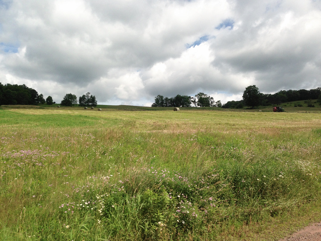
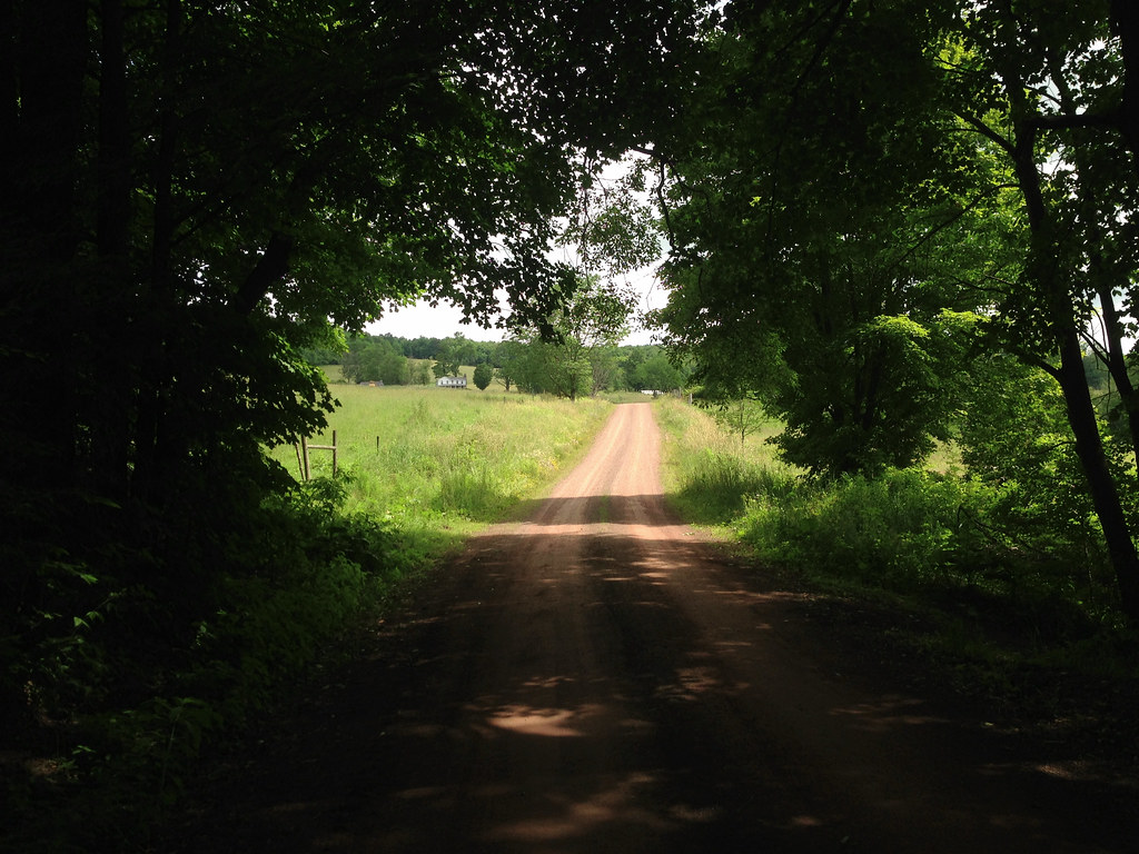
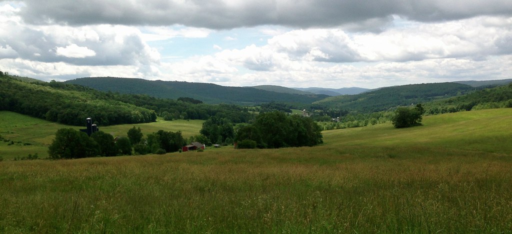
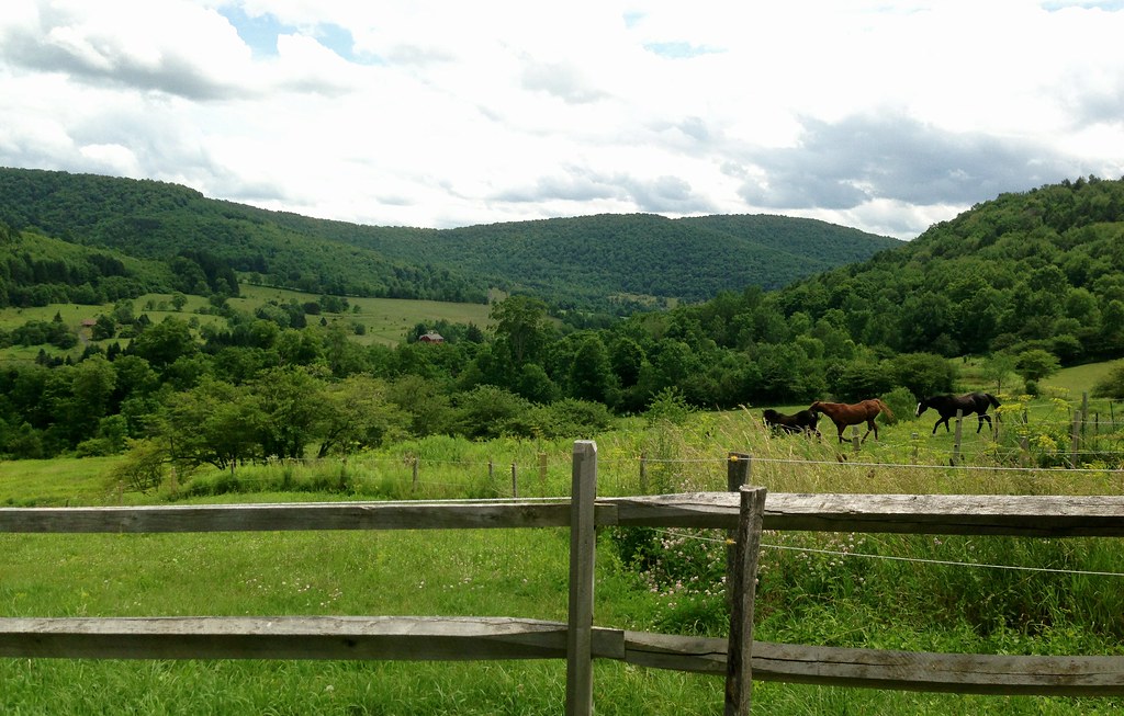
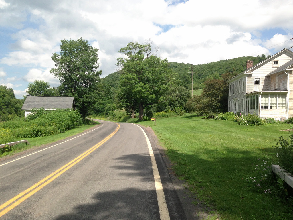
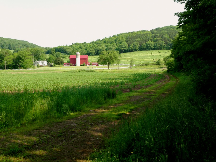
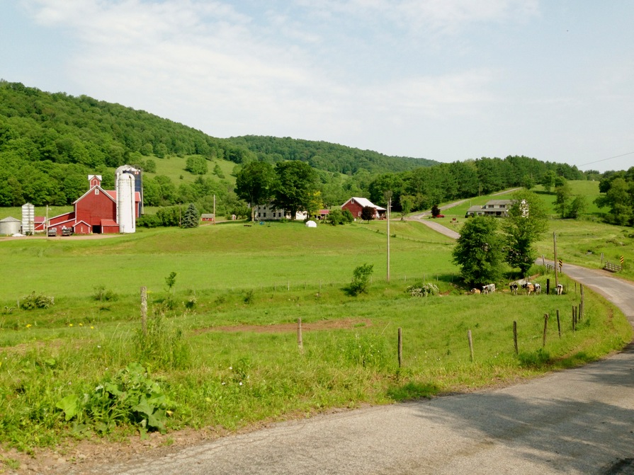
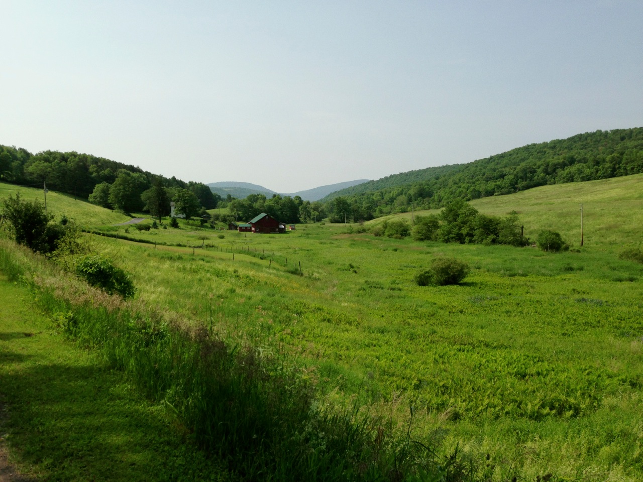
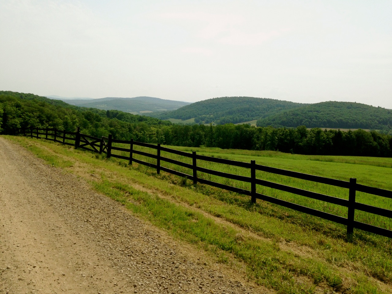
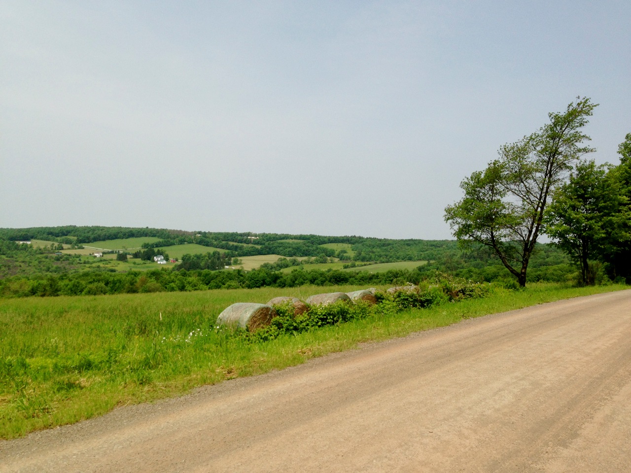
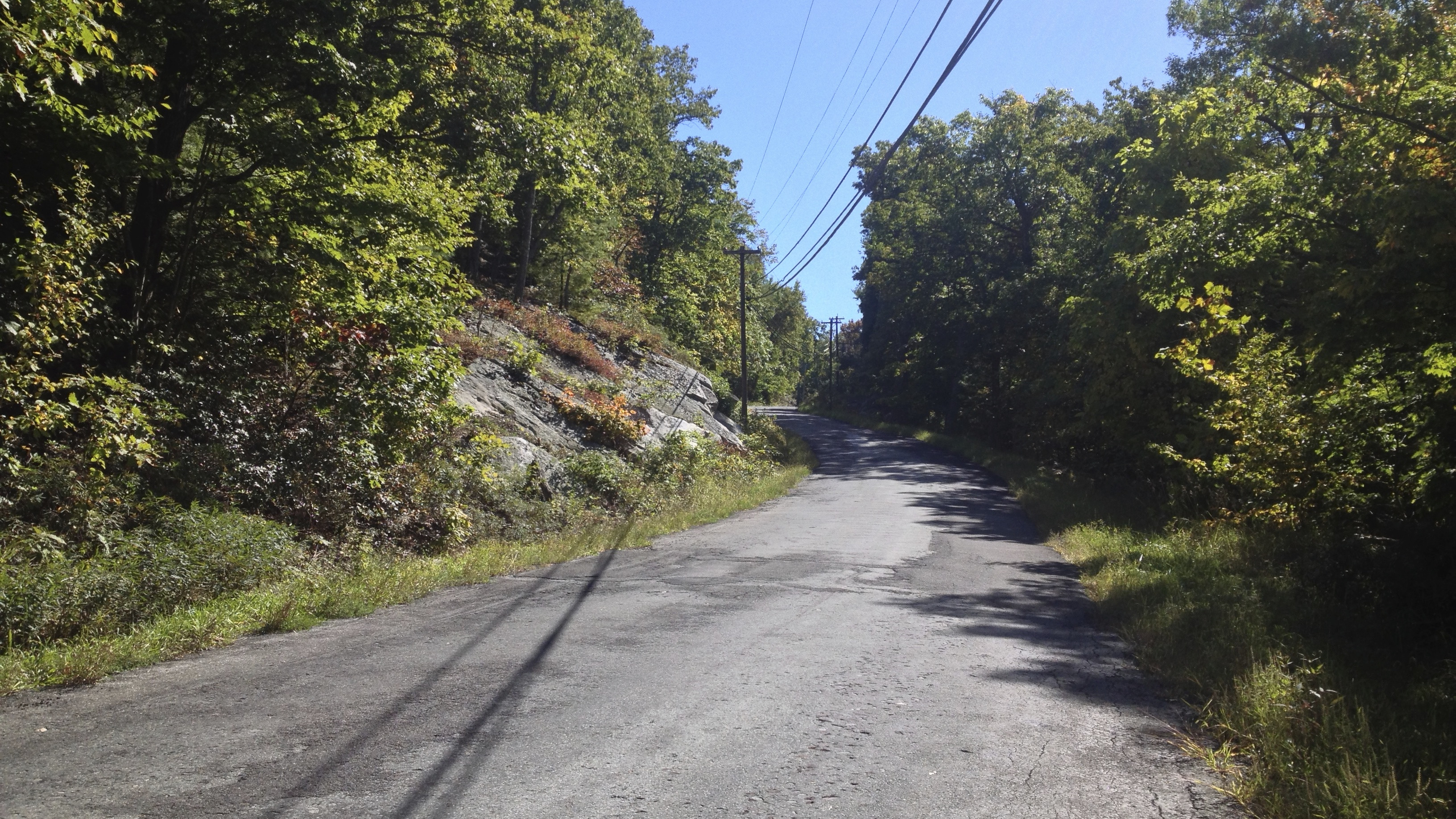
Up and over the ridge I took a right at Clove Road. It leads along the Clove Valley and is not very busy in terms of traffic. It’s a series of country roller roads with a lovely view of the valley between you and the ridge. The route heads west towards the Rondout Creek but turns left on Rock Hill Road to head south.

11. Clove Road Bridge

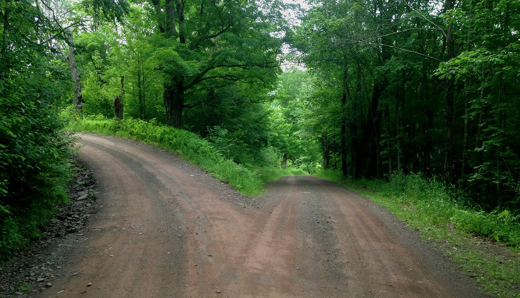
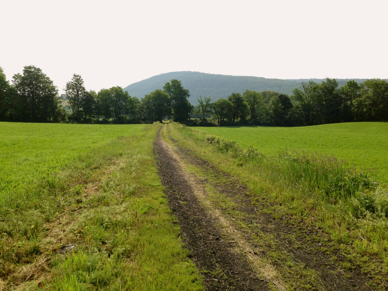
Halfway down Rock Hill Road the pavement ended at sort of cul-de-sac. A man was cutting logs with a chainsaw and I didn’t feel very welcome so I headed back to the last fork in the road and double checked my iPhone map. Rock Hill Road should have continued on, so I went back to the faux-de-sac. The lumberjack pointed to the woods and I could see a sort of double-track trail leaded on. He waved me to go ahead, and so I went on down the Rockiest, Hilliest, Road-that-can’t-even-be-called-a-road. It’s really meant for four-wheel-drive vehicles or ATVs, but my cross bike with 28s could almost handle it. It’s not easy to ride on, but a great technical challenge and I strongly feel that it should not be skipped.

[Note from JF: The same guy pointed me onto that “road!” He must think he’s funny.]

12. Rock Hill Rd

13. Rock Hill Road backward

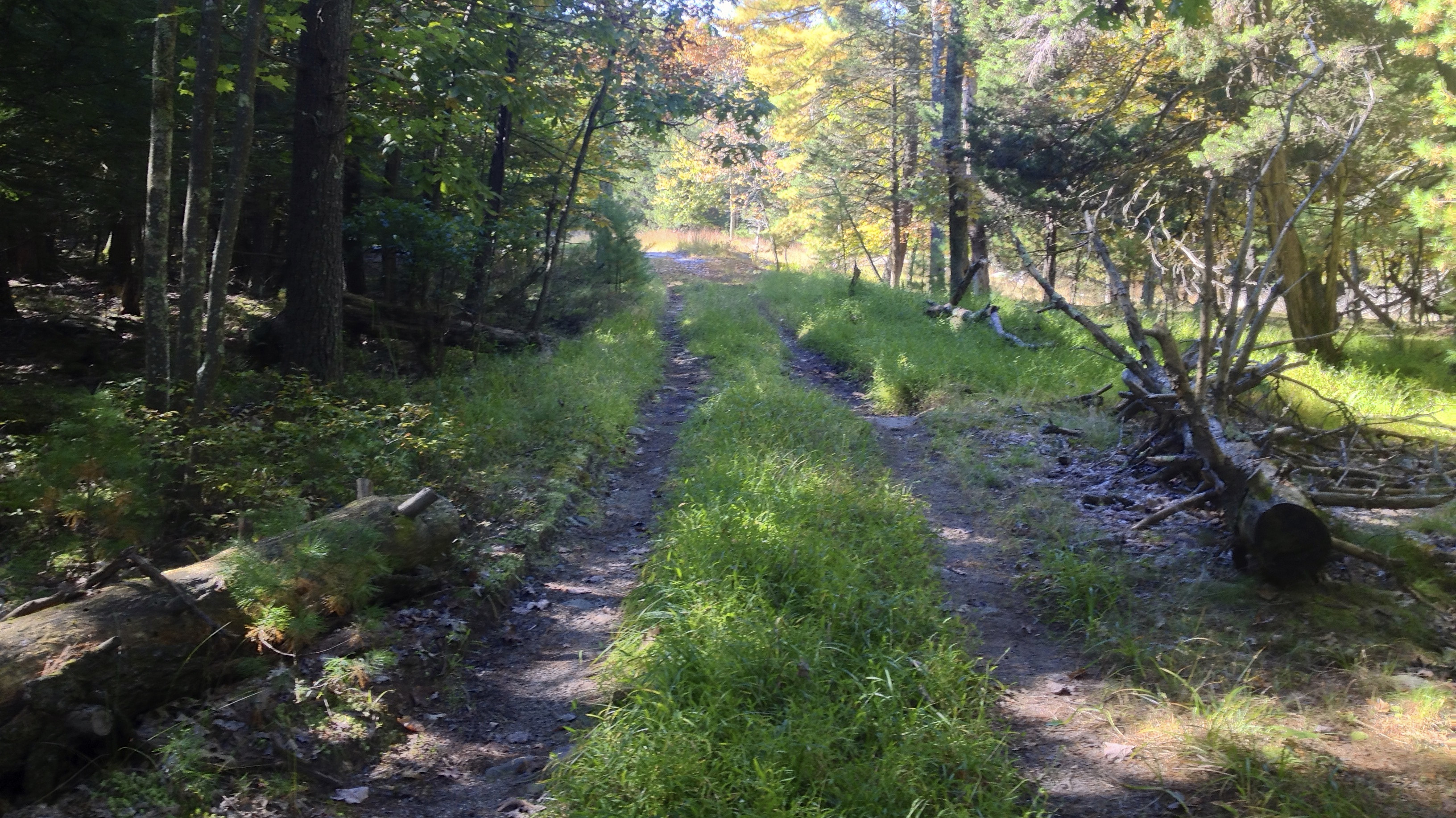
Follow the double-track south, eventually it turns west down the hill. Stay with it, hike if you must. Eventually, it will spit you out behind a house. Get on Lawrence Hill Road and enjoy the pavement again.

14. Stony Kill Rd

Lawrence Hill leads to Towpath, which leads to Stony Kill Road. Originally I planned to go down “Project 32 Road”, but this led me down a gravel driveway and through the woods and into local’s porch and they very graciously pointed me to their private road which took me down to Granite Road.

15. Project 32 Rd

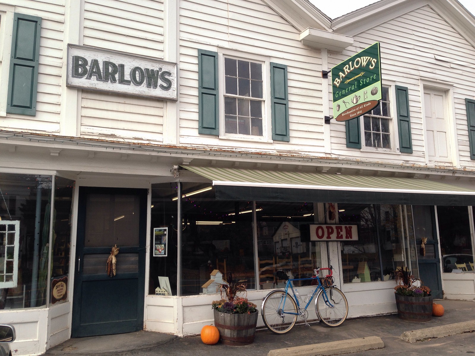
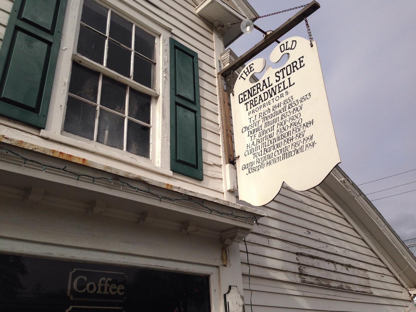
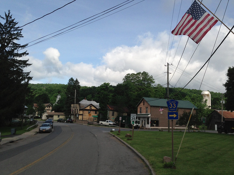
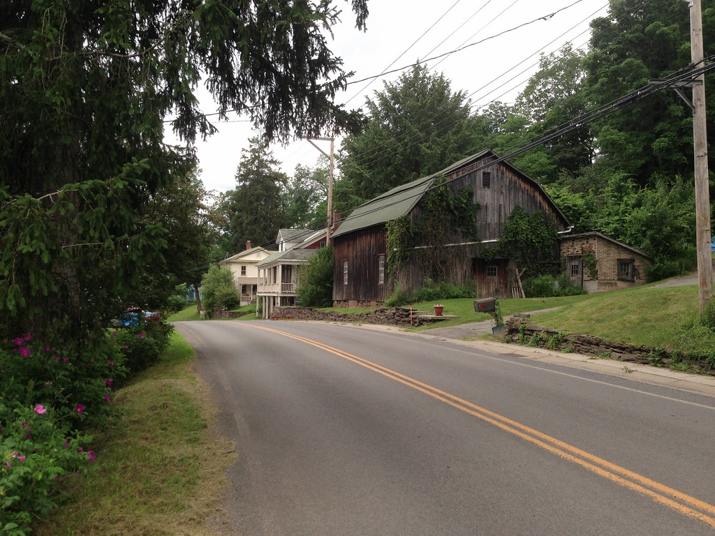
Don’t do that! Just take Stony Kill all the way to Granite. Then to Berme. Then into Kerhonkson. I stopped here at a Stewart’s for to grab a salty snack.

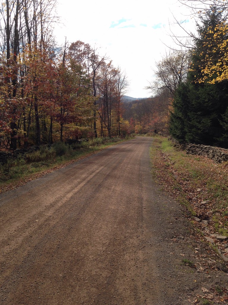
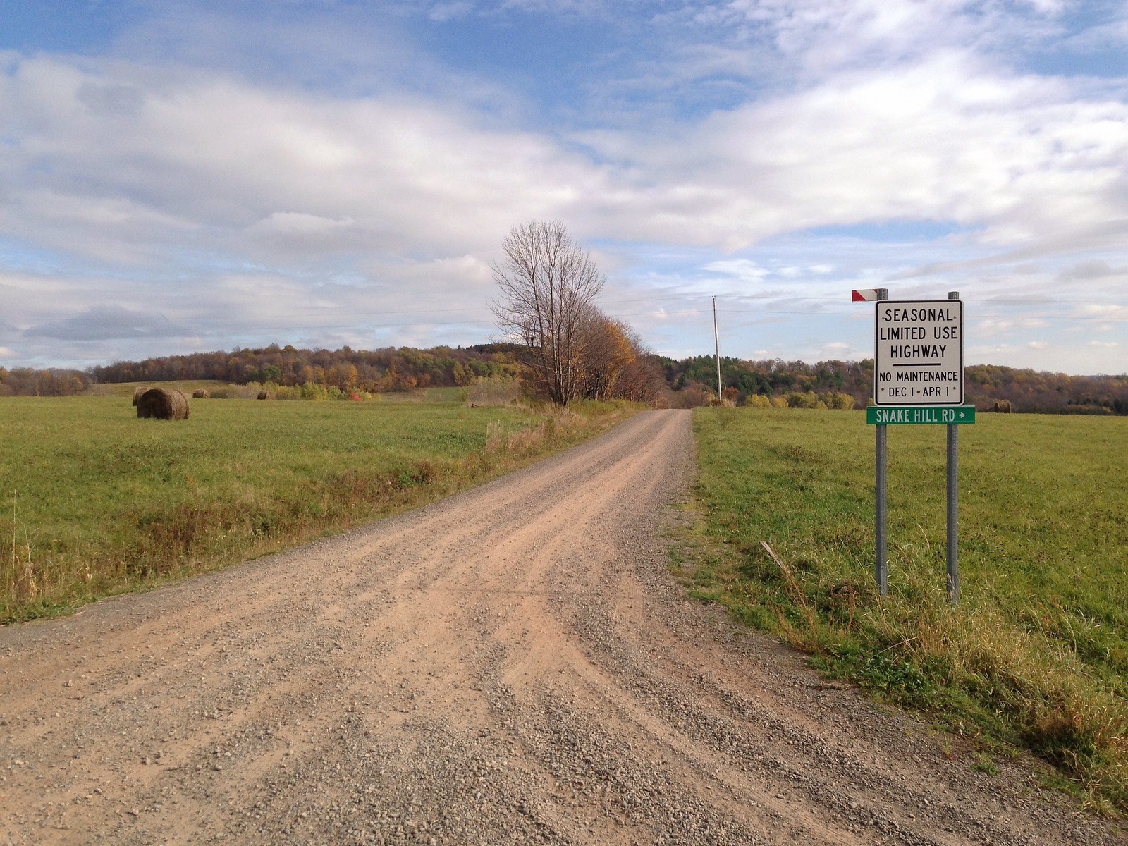
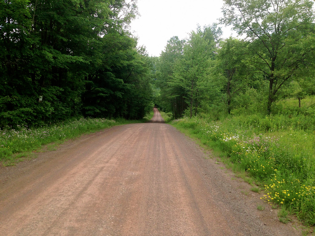
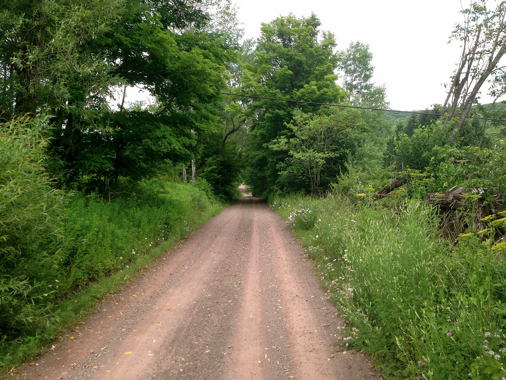
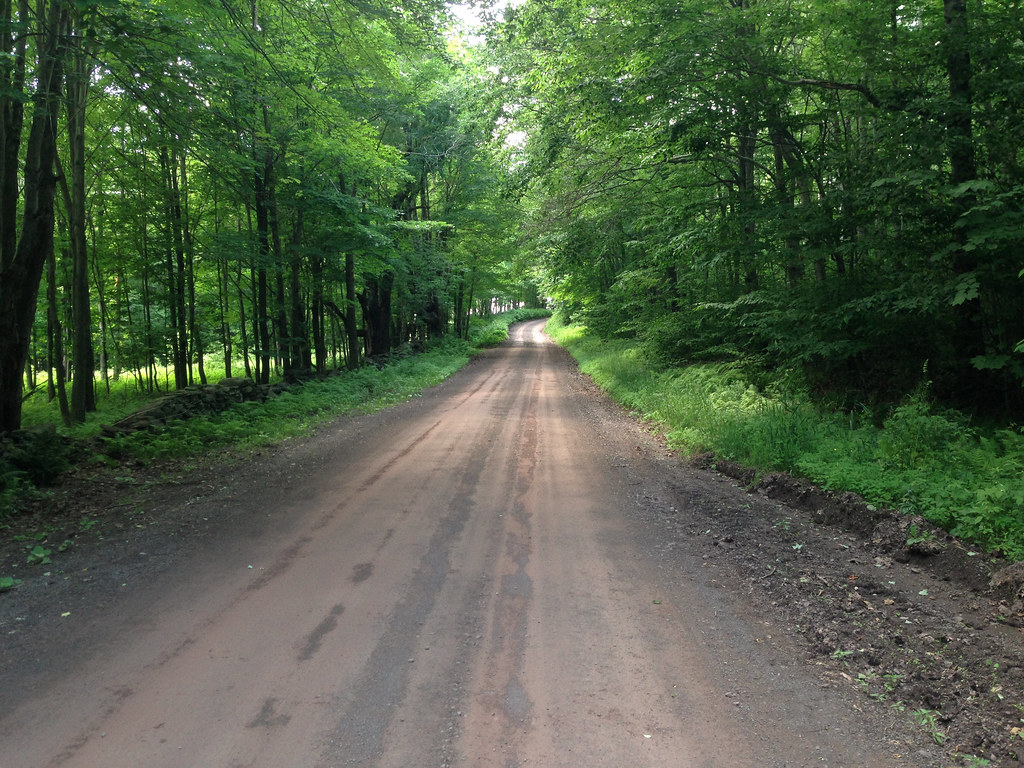
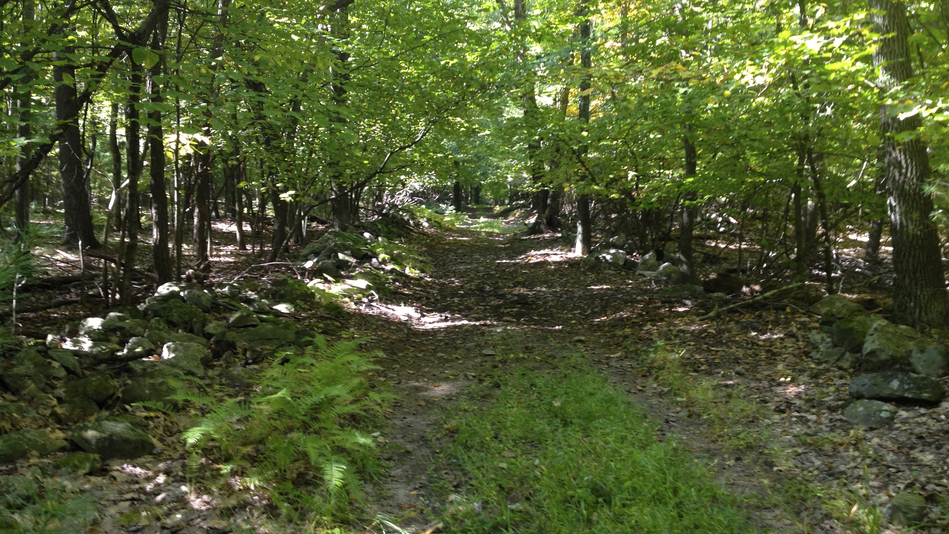
Next I climbed out of Kerhonkson on Clay Hill and Cherrytown Road. At the Ranch & Resort turned onto Rogue Harbor Road. Shortly after, Rogue Harbor Road turns into glorious gravel.

Riding along a gravel road in the woods is spectacular for a city dweller!

17. Rogue Harbor Rd 2

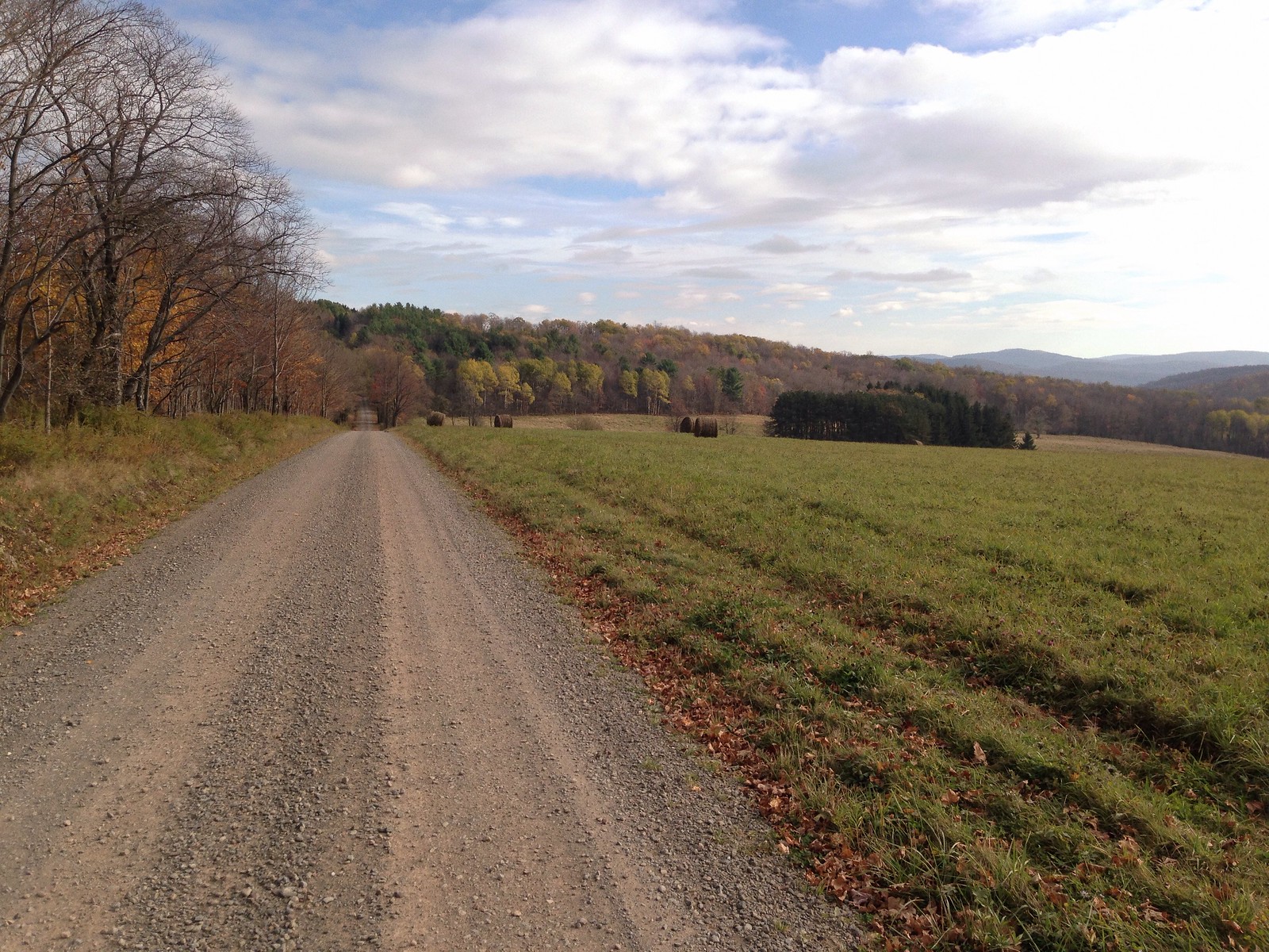
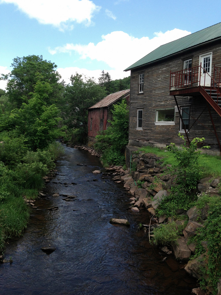
Past a placid lake I turned right onto Lundy Road. I followed this gravel beast up 3/4 of the way to the end. The vehicle traffic was creating a dust storm and it the fun level dropped so I turned around. Descending Lundy was fast and loose. I stopped at a waterfall to relax, eat a snack and take in the woods a bit.

19. Lundy Road Swimming Hole

The water was cold and clear. I dipped my head in because I could and it felt fantastic!

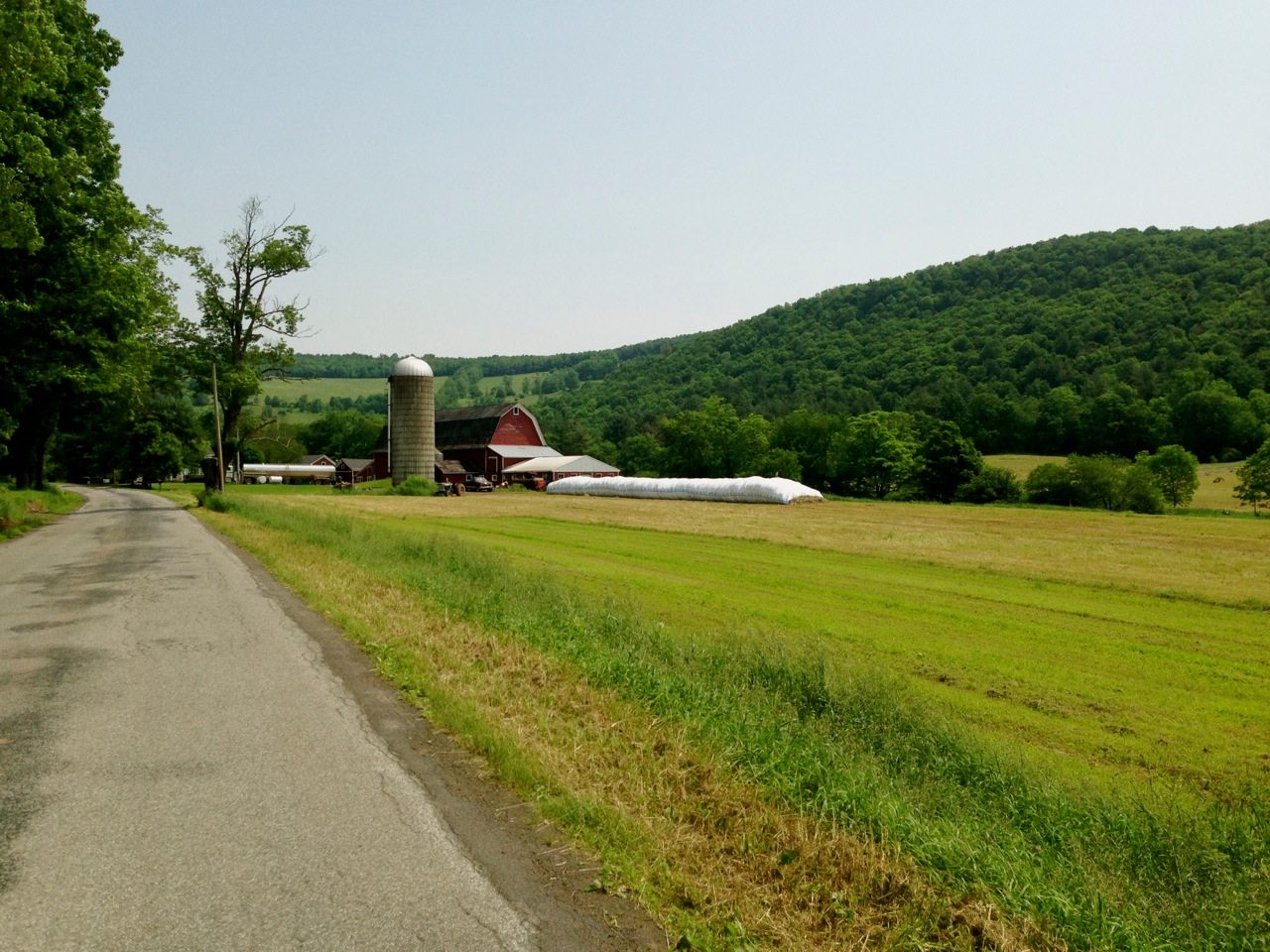
I took Lundy back down across 209 to Port Ben Road. It leads across the valley and gives a killer view of the ridge you’re gonna cross in a bit.

20. Port Ben Road

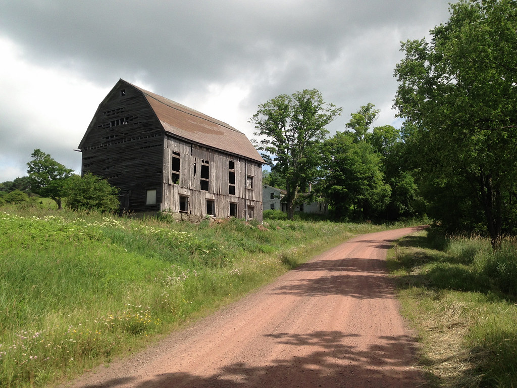
Follow the directions from Port Ben to Berme Road well. I didn’t, and I ended up above Berme on Towpath Road. At a gate, an SUV rolled up and two men kindly helped me get oriented but warned me, “There’s bushwhackers up in these hills and they won’t hesitate to kill you son”.

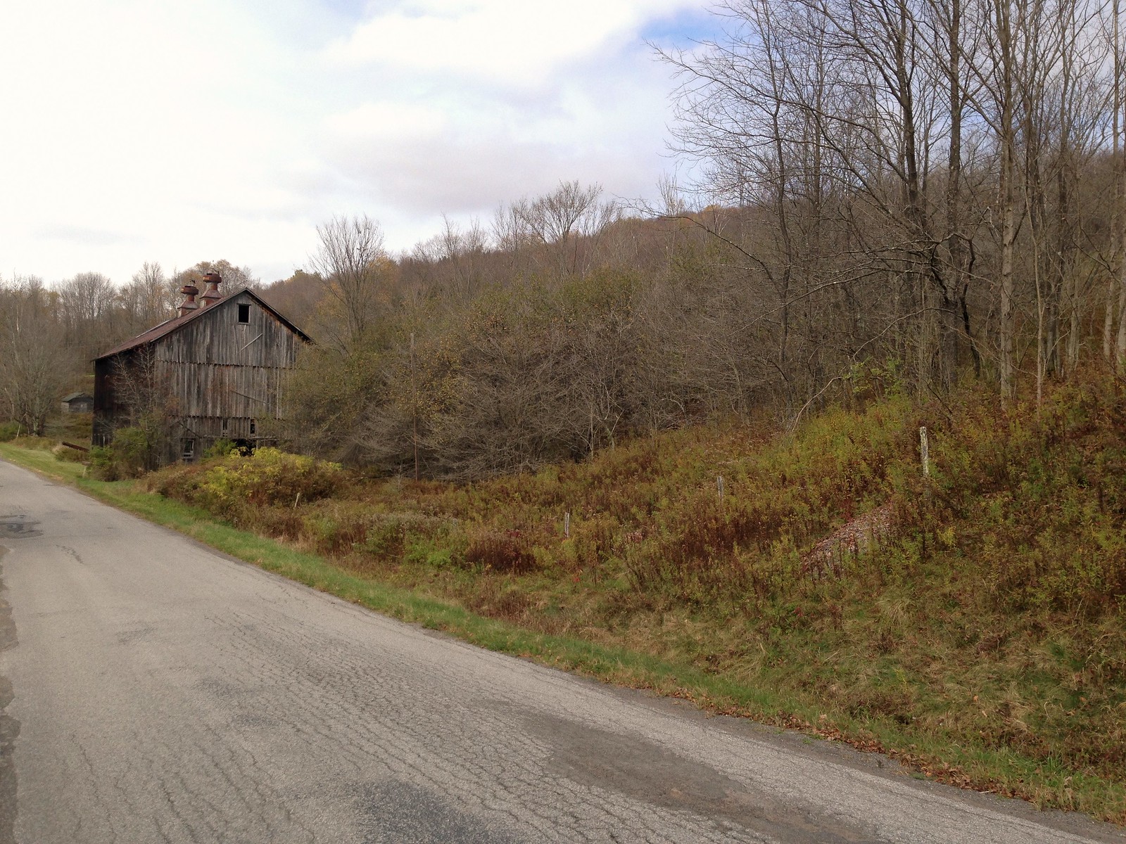
Back on aptly named Berme Road, I rode parallel to the ridge eventually coming to a pair of prisons.

21. Ulster Correctional Facility

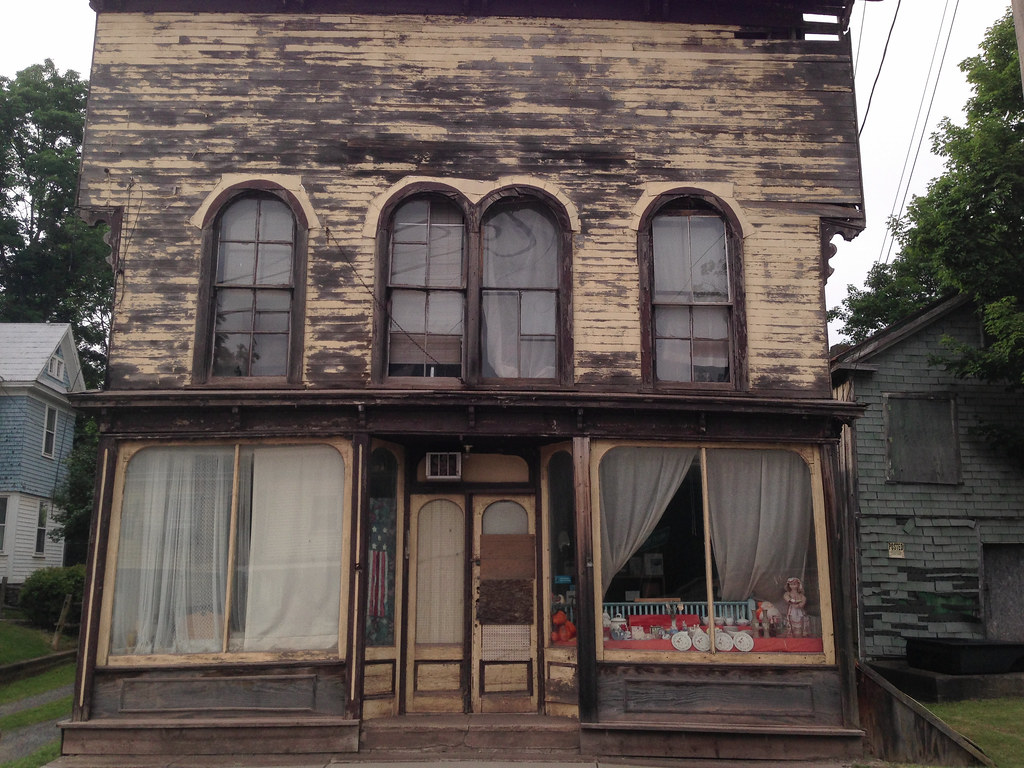
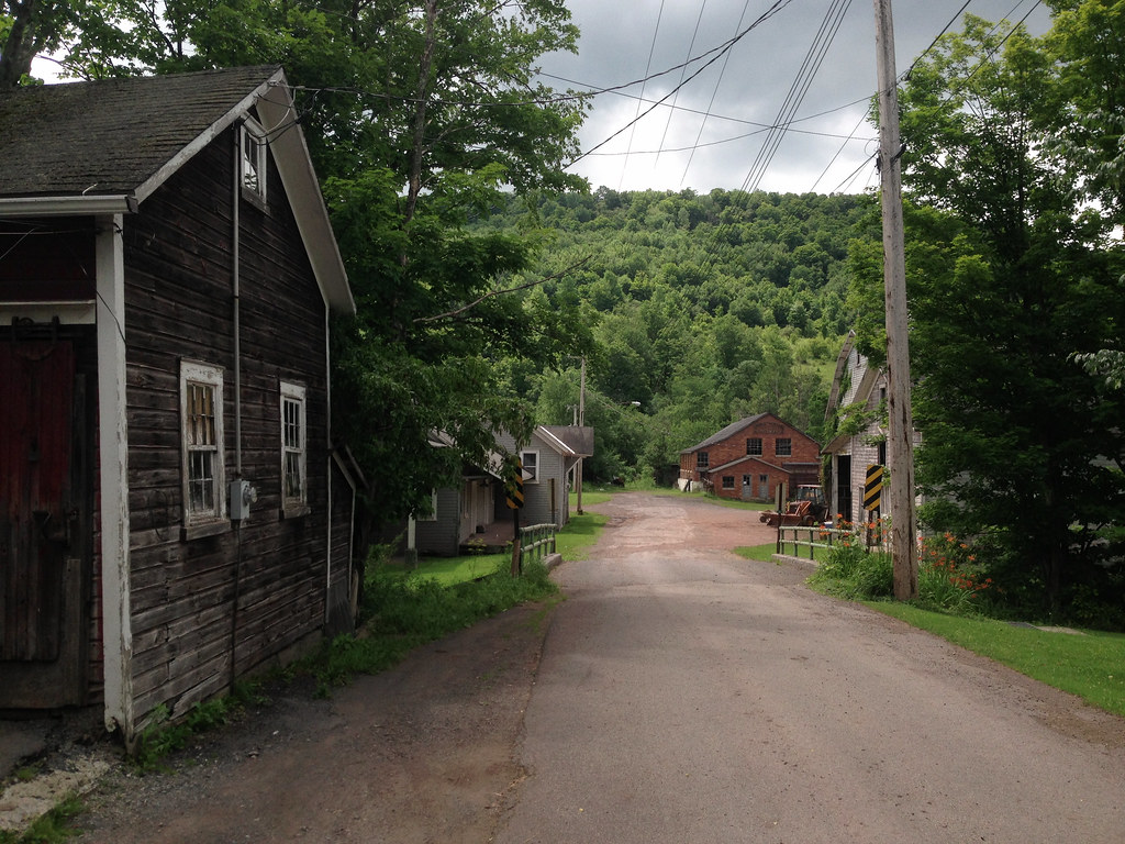
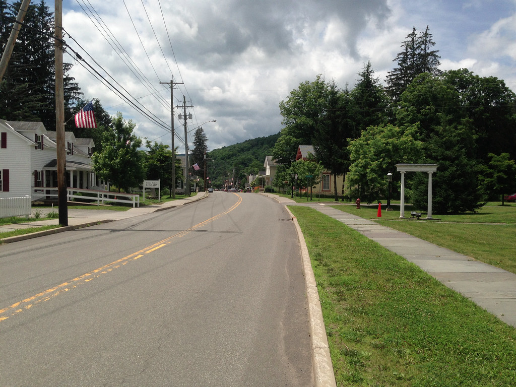
Took Berme Road through the prisons all the way to Canal Street in Ellenville. I stopped in Ellenville for fluids and some salty snacks. Don’t eat too much though, you’re about to gain an Imperial-Shit-Feet of elevation.

I took Main Street up up and out of Ellenville, hung a left onto Mt Meenagha where the real climbing begins.

22. Mt Meenagha Road

The grade on Mt Meenagha kicks up constantly.

23. Up Mount Meenegha Road

Mt Meenagha turns into South Gulley Road.

24. Up S Gulley Road

25. View Back Down S Gulley

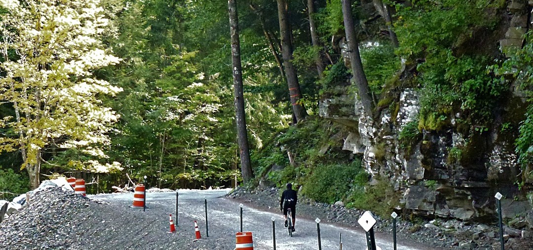
A few cars that passed me on the climb came back down the mountain, and I saw why later. The road is “closed” for repair.  On such a steep section as this there are obvious problems with erosion and road infrastructure.

26. Road Closed

That’s okay, ’cause going around the heavy equipment meant car-free climbing for the rest of the journey.

28. South Gulley Keeps Climbing

I was able to use the entire road to climb, which is nice because some patches are loose and the grade keeps kicking up.

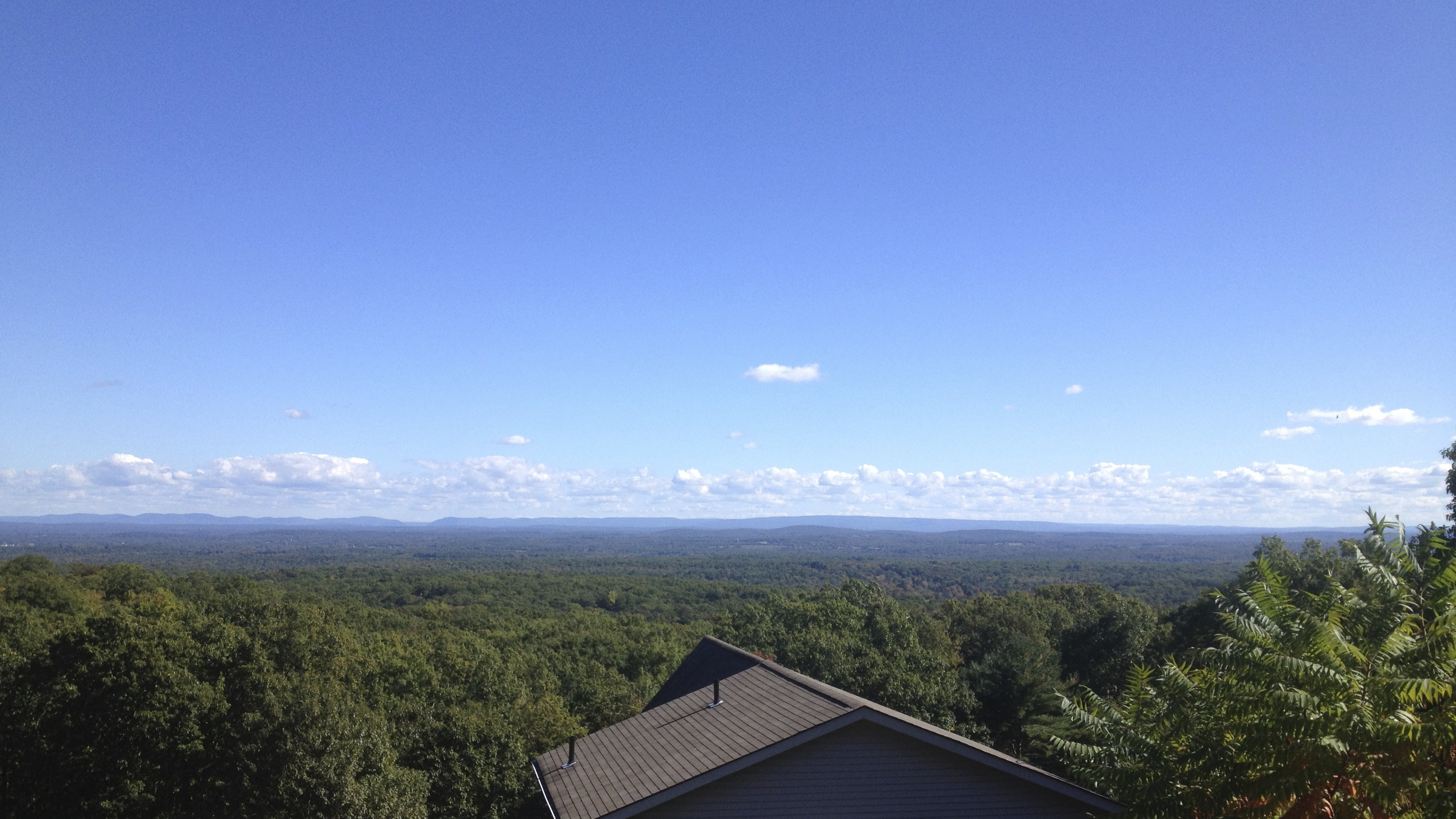
I took a left onto Sams Point Road. I had planned to ride around the lake and see some incredible views, but the folks at the gate did not like the idea. They told me, “Hopefully in the future we’ll have some sort of biking trails, sorry” and sent me on my way.

I flew down Sams Point Road, then a left on Vista Maria. I took a quick shot of the view here before the road dropped very quickly down the mountain.

29. View East from Vista Maria

The descent is fast and steep, and is good practice for high-speed descending. Keep your hands on the brake levers though: in NYC we get squirrels running halfway out and then running back into the woods, out here it’s a pair of 150 lb deer with antlers.

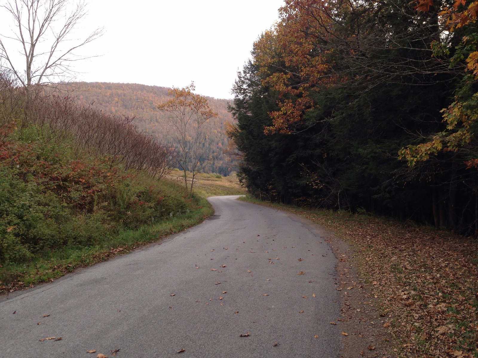
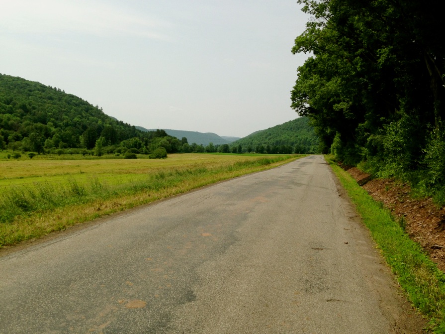
Rolled down 52 into Walker Valley, hung a left onto Oregon Trail Road. The next few turns were rolling back country roads. They led across the side of the ridge then down into the valley.

30. Ulster County 7

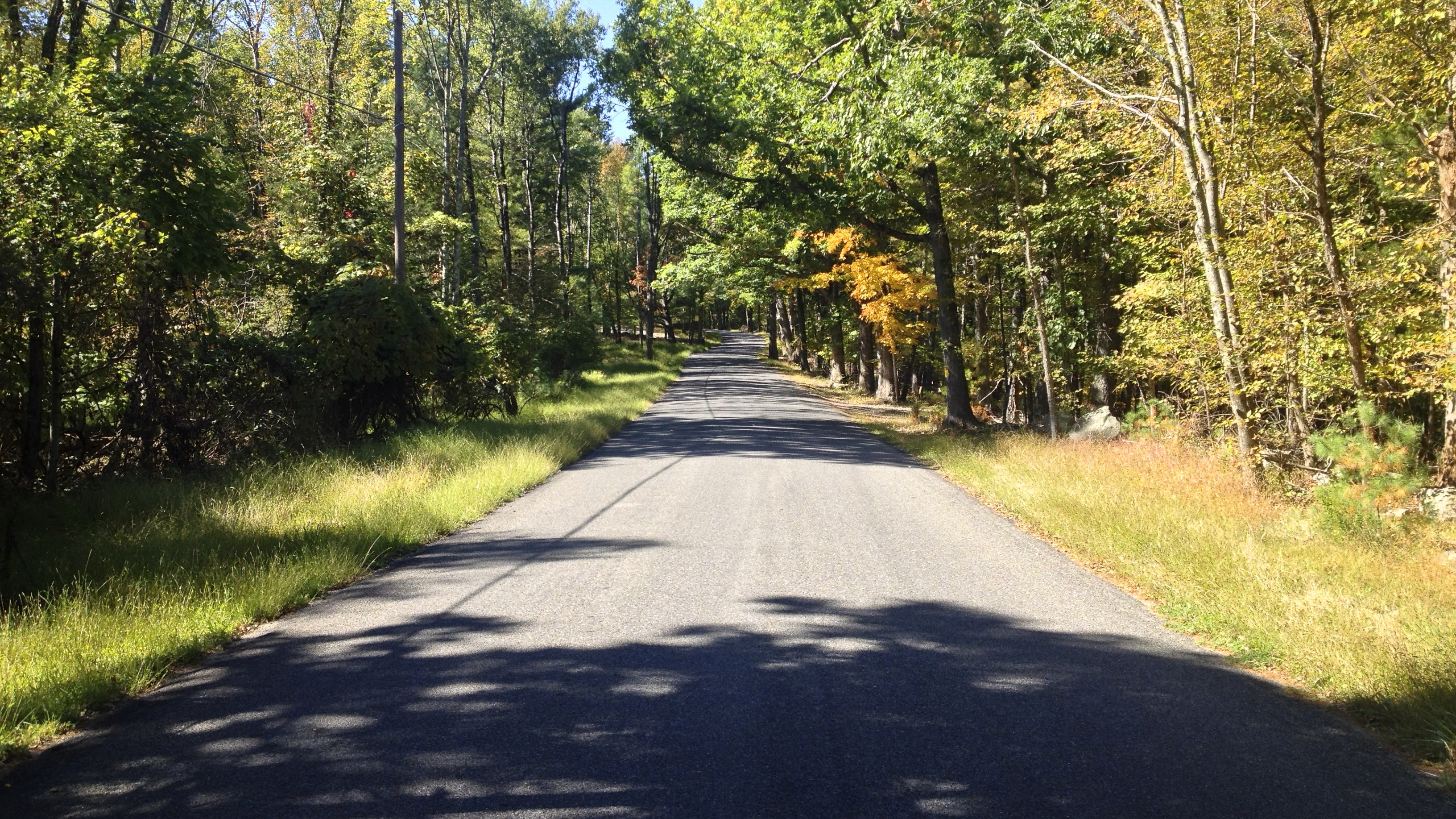
I rode up into Gardiner, NY to hop on the Wallkill Valley Rail Trail for a bit of peaceful, unpaved path.

31. WVRT

That light at the end of the foliage tunnel was New Paltz, where I filled my bidon with iced coffee to boost me up out of the valley, across the Walkway Over The Hudson and back to the Poughkeepsie Train Station

32. Walkway over Hudson

Made it back to Grand Central by ~7:30 pm, ordered food to be delivered to my apartment while crossing the Manhattan Bridge, showered and ate a king’s feast after a solid day of marvelous adventuring by bike in Ulster County.

Pass Hunting, Summit Seeking: using USGS to track peaks in the Catskills

Pass Hunting. To me, the term is sporting, and also evokes a romanticized notion of exploration by bike. The idea is that it’s a non-competitive, self-supported cycling sport, much in the spirit of randonneuring, but it differs from randonneuring in that it’s not about speed or progressive long-distance endurance. It’s about working, on your own schedule and at your own speed, toward climbing a specified number of mountain passes while adhering to a set of rules. Achieving the goal may be unceremonious, much like completing a brevet series, but it earns you entry into a brotherhood of like-minded cyclists who identify with and share the enjoyment of cycling over steep mountain peaks. And depending on the club, you may also be bestowed a badge of honor with which to proudly display your achievement (usually a patch or pin to attach to your handlebar bag or saddle bag).

Or, forget the brotherhood and maybe you just like the satisfaction of collecting mountain passes just as you would stamps, like a hobby. One can choose to take on the sport in quiet solitude, or take a more social team-based approach by riding together in organized missions. For me, both aspects are appealing in their own ways.

Pass hunting originated in France, where it’s still popular. It’s big in Japan. Few locations in the US have mountains as steep as in France and Japan, which may explain the sport’s greater popularity in those countries.  But there are some pass hunting-style clubs here in the US, and there’s no reason one couldn’t work right here, in the Catskills. Our peaks aren’t as tall, but readers of this blog know that the Catskills have some of the most challenging hill climbing in the eastern US, and pass hunting is really about enjoying the experience of climbing mountains.

One caveat to pass hunting in the Catskills is that there are actually very few USGS-defined passes (only two in Delaware County, and I’ve unwittingly ridden both).  In France, the game rules explicitly disallow claiming designated land features other than passes, such as summits (which, as designated by the USGS, are abundant in the Catskills). So calling it Pass Hunting may be a technical stretch of the rules. If one wanted to adhere to rules. Another caveat is elevation: in France the rules hold that some passes must be above a certain height which is unachievable in the Catskills. Perhaps we should call it Summit Seeking. If we want to align the sport with geologically correct terms.

I played around with the USGS website and found it very easy to generate table lists of geological features (along with their latitudinal and longitudinal coordinates) within a defined region, filterable by any number of criteria, such as elevation.  For fun, I ran a query to identify the top 100 highest summits in Delaware County (given the dearth of passes). I limited the search to Delaware County because that’s where I’m most likely to ride whenever I’m out that way from Boston. The table is easily copied and pasted into Excel, from where the data can be formatted for import into Google maps. This means you can nearly instantly create your own Carte des cols de Google. Google does a great job with the way it allows users to annotate, sort and style the imported data, so you can label and color pins by any categories present in your imported data table (for example, you can label by elevation, and color by town, or by whether you’ve ridden it or not). You can import as many data tables as you like, for different types of data, and toggle any combination of them. One table could be summits, another could be USGS-designated waterfalls, if you were so inclined to do a bicycle tour of area waterfalls. Clicking on a map pin gets you a popup with all the information for that pin from the data table (for example, the historical name of the feature, like “Devil’s Backbone”).

I assembled a “Summit Seeking” map marking the 100 highest USGS summits in Delaware County, labeled by elevation and colored to denote which ones I’ve completed. A similar map can just as easily be made for all of the Catskills, or anywhere else:

Capture

If anyone is interested in learning how to create their own Google maps using USGS features as starting points for your own summit seeking adventures, let me know. At the very least, one can use this tool to help create and track your own personal riding goals based on geological features, wherever you live and ride. But who knows… if there’s enough interest, we could get a bona-fide club started. Rules could be crafted to make it reasonable for people to achieve goals even if they don’t ride in the same region– for example, the goal requirement for a soloist could be something like completing any 20 peaks out of 100 in one year.  Teams could divide and conquer: any 40 peaks with at least 50 miles between the farthest two. Or at least 3 peaks in every township. That sort of thing. And how cool would it be to pin this to your saddlebag upon completion:

Capture

–Somervillain


A planned, mostly vetted, Delaware County 130k Masterpiece

Somervillain here.

I love planning routes in RideWithGPS (link to my routes). When charting out new territory, RideWithGPS allows one to zoom in to a road, in satellite view, and get a glimpse of what it’s like– is it dirt or paved? Is it shaded by overarching trees?  Does it pass through farms? If it looks interesting, I just click on it and there it is, incorporated into a growing route. Using this method I’ve discovered many of what have become my favorite dirt roads, and Delaware County harbors a trove of remote dirt carriage roads and mountain passes still waiting to be discovered.

I’ve reported on three routes I’ve ridden in Delaware County (here, here and here), but the longest of these was only 45 miles and 5500′ of elevation gain. Sometime next year I plan to ride an amalgam of all three routes, merging the best of each while making sure services and facilities are never too far away. I’ve mapped these onto one 81 mile loop, and I’m so tickled with the resulting route I can’t wait to ride it! Since I know this won’t happen until at least next summer given the long winters and my only occasional presence there, I am presenting it here for anyone who wants an 80-ish mile ride with almost 10,000 ft of elevation gain. If anyone is familiar with D2R2, this route fits nicely in between the two intermediate D2R2 route lengths (74mi/8,200ft and 99mi/11,600ft). Having ridden the 74 and 62 mile D2R2 routes, my opinion of this Catskills route is that it’s even more bucolic and pastoral than D2R2, but with similar intense hills and a familiar rural New England-y feel and flavor.

The yellow pins mark food stops, and the start/end point in Delhi has plenty of food options. Look at that elevation profile!!!

Some noteworthy features of this route:

  • Total of 8 dirt segments, some of which are single-lane carriage paths, totaling 34 miles, or 42% of the overall route.
  • Two historic covered wooden bridges.
  • 9 significant climbs.
  • One fast 5-mile paved descent and two other nearly continuous 6-mile descents– mostly without interruption.
  • Less than 1 mile of highway.
  • 6 well-spaced services/facilities, and none of them are convenience stores/fast food chains. The longest distance between any two is 24 miles.
  • I’ve ridden 74 of the 81 miles of this route personally at different times

So if anyone is looking for a long Catskills route that takes in stunning country scenery, charming villages, lots of dirt roads, a shark tooth elevation profile, thrilling descents, and well spaced food offerings, this route should be just the ticket.

If you’re coming from NYC or points south, the most logical starting point would be Andes as opposed to Delhi. Andes is only a 15 minute drive west of Margaretville, the starting point of several of the rides John has written about. There’s plenty of parking along Main St./Rt 28, as well as several places to eat. Honestly, any of the pinned villages would make decent starting points, but regardless where you start, the route really begs to be ridden counterclockwise to enjoy the two prolonged descents.

One other thing to consider if riding up here during the week is that most area cafes are closed on Mondays, which will narrow your food options. So avoid Mondays unless you’re prepared to ride in a self-sufficient manner.

Here are some “stock” photos that didn’t make it into my previous posts; they were taken at different times from various points on this route, and are in no particular order. Some of these may date back over a year, but they give you an idea of what this route has to offer.

Enjoy!

–Somervillain

A Columbus Day Ramble in Autumnal Delaware County

First I’d like to express thanks to John for making me a contributing author on Riding the Catskills. Since I’m only up in the Catskills occasionally between spring and fall, I won’t be contributing regularly… but my aim is to eventually document all the best dirt road mountain passes that Delaware County–my childhood and now seasonal stomping ground in the northwestern Catskills–has to offer, with routes of 35-75 miles with heavy doses of bucolic dirt roads, steep climbs, fast descents and an obsessional avoidance of highways and traffic, designed to bring wide smiles to anyone who rides them. I may also occasionally post planned, partially vetted routes of up to 100 miles, stitching together segments I’ve already ridden with new ones, that may be too long for me to tackle in the near term but may be appealing to more ardent long distance cyclists. Below is a post about my Columbus Day Catskills ride in which I continued to find some absolutely stunning dirt roads.

–Anton, aka somervillain

Columbus Day weekend is a big tourist weekend in the Catskills, with travelers descending from afar to enjoy the fall foliage. Being a holiday weekend, I, too, often make the trip out here from Boston. Typically, the colors in the Northwestern Catskills are at peak vibrancy this weekend–several weeks ahead of eastern Massachusetts–and holiday or not, it’s a great excuse to come out this way just to be a leaf peeper. To the disappointment of many who made the trip here for the rich colorful palette that marks this weekend (I met one couple here from Colorado; Aspens get boring after awhile, they told me), the week prior saw an intense windstorm that stripped many of the leaves that weren’t quite ready to let go. Alas. But not all the leaves had fallen, there was still some fall color left.

I was here for an extended weekend with my family, but I just had to get a ride in, however short it had to be to maintain family commitments. The loop I settled on was 36 miles, relatively short compared to John’s routes. But with 3800 feet of elevation gain (3000 ft in the first 20 miles alone), there were enough climbs and descents to keep it interesting, another exercise in pass hunting.

The route started and ended in Delhi (pronounced “Dell-Hi”), the county seat and nice little historic town, about nine miles from my home in Bloomville.

Delhil Village Hall

From Delhi, the counterclockwise route immediately took me over a steep hill, Belle Hill. Normally I don’t like to start off with a hard climb, not having the chance to warm up first.  Doing the loop in reverse would have avoided it, but I really wanted to do the loop this way, because it includes a five mile descent I had been eagerly waiting to do. As with so many hills around here, the peaks are punctuated, so by the time your rear wheel reaches the top, your front wheel is practically heading down the other side. As I reached the top of Belle Hill, not quite warmed up, the pavement turned to dirt, and I enjoyed the first of many lovely descents.

Dick Mason Rd, Delhi

At the bottom, I followed the valley out of Delhi to Meredith along Peaks Brook Rd, a quiet paved road with a slight but steady uphill grade. After a couple of miles, it turns to dirt, and after a few more miles of gentle climbing, another three miles of descending on dirt.

Peaks Brook Rd, Delhi

Peaks Brook Rd, Meredith

At this point, I mistakenly turned onto Warren Rd, thinking it was a continuation of Peaks Brook Rd. This led me north toward Treadwell, a cute hamlet that John passed through on his Delaware 85 route he posted about this past summer (his masterpiece!).

Warren Rd

Cow warning, heading into Treadwell

Oddly, despite growing up here, I hadn’t ever passed through Treadwell. I was glad I had made the wrong turn, giving me the excuse to finally see it– it boasts an adorable general store that has been continuously run since 1841. I highly recommend working Treadwell into any local routes– there aren’t many places in the area with food and facilities, and here you can get sandwiches, fresh baked goods and roofing nails. The atmosphere is infinitely more charming and welcoming than any gas station/convenience store you might find, and it’s a fun step back in time. I returned to Treadwell with my family the next day, my kids bought penny candy!

Barlow’s General Store, Treadwell

From Treadwell, I headed back south on County Highway 16 towards Hamden– as John did. But shortly outside Treadwell, I detoured off onto Douglas Hall Rd, which wound around some farms as it climbed steadily.

Cows, Douglas Hall Rd

A surprise awaited me when I reached the four-way junction on top. I had originally planned to turn onto Snake Hill Rd (which I would have been on had I not detoured into Treadwell), but when I saw the single-lane dirt road straight ahead, with the sign: Seasonal Limited Use Highway. No maintenance Dec 1 – April 1, I had to change course once again… whenever you see that sign in this area, it’s a promise of a worthwhile investigation.

Ridge Rd, Hamden

Unlike most back roads in the area that seem to go up or down, Ridge Rd, as its name implies, follows the top of a ridge for five miles. It’s mostly tree lined, passing through woods, every so often affording a spectacular vista from atop the ridge. Let me be blunt: this road qualifies as a must ride; just let the photos speak for themselves:

At one point I had to stop and consult a map; the road split, and signs were conspicuously absent. I felt a sense of déjà vu: the fork felt eerily similar to the one in the final scene in the Jim Jarmusch film Down by Law. Who knew the Catskills could look so much like rural Louisiana? See for yourself:

Ridge road ended, and pavement resumed. From here, Launt Hollow Rd whisked me down a continuous five mile descent (the one I had been eyeing) to State Rt 10 in the village of Hamden. (The next route I have planned in this area includes a continuous 10 mile descent from Hamden to the Pepacton reservoir).

Five mile descent to Hamden on Launt Hollow Rd

Rt 10 is a busy highway, but at least in the village the speed limit is tamed down. And just after the turn onto Rt 10 is one of my favorite eateries– Lucky Dog Farm Store. Another charming cafe and locavore farm store, they serve up artisanal sandwiches and lunches. Worth a stop, but their hours are more limited than Barlow’s in Treadwell (Lucky Dog was closed when I was there).

Lucky Dog Farm Store, Hamden

I designed the route to take in the Launt Hollow descent and Lucky Dog while avoiding Rt 10 at all costs. I stayed on Rt 10 for only a half a mile before I turned right to cross the Delaware River, West Branch, over a covered wooden bridge. This took me to Back River road, a gently rolling, quiet paved road that follows Rt 10 but on the opposite side of the river. It heads all the way back to Delhi, which John also passed through on his Delaware 85 route, although John followed Rt 10 from Hamden to Delhi.

Hamden Covered Bridge

Back River Rd, Hamden

Back River Rd, Hamden

There are plenty of facilities in Delhi. I won’t mention the several repugnant fast food chains. Sure, they’re welcome in an emergency, but on most days there are better options, and my pick would be Good Cheap Food, another locavore market. Plus there are several indie cafes and bookshops along Main St, so designing a route to include Delhi is a smart bet.

Main St (Rt 10), Delhi

County Clerk’s Office, Delhi

Given that this route and John’s route intersect at Treadwell and again at Delhi, it’s possible to merge the best portions of each and come up with an another dirt road stunner of just about any desired length.

Tale of Three Hamlets: An Adventure in Delaware County, New York

Today, we have another amazing guest post from Anton (aka Somervillain). As before, I’m going to leave this at the top of the page for 4 or 5 days, but rest assured, I have lots to report (albeit less eloquently!)

I grew up spending summers in Bloomville, in Delaware County, NY. Although I never lived here full-time and now only spend a couple of weeks here each year, it nevertheless occupies a special place in my heart: I’ve known it since infancy, it has left an indelible mark on my development. Summer entertainment revolved around goings-on in the nearby villages: the county fair, the town barbecue, local farm auctions.

I recently rode a hilly 45-mile route that connects three neighboring villages to retrace childhood memories; each holds fond memories for me. But more relevant to this post, cycling between these villages is a fun adventure in pass hunting– the sport of riding over mountain passes towards a goal of having completed a defined number of passes within a region. Popular in France (rules of the game), it’s gaining popularity here in the US. It’s sort of the cycling equivalent of hiking clubs, where the goal is to have hiked over a defined group of mountain peaks. So instead of following major roads between the villages that skirt around and thereby avoid the mountains, I opt to ride up and over the mountains along the most remote, least traveled mountain passes and carriage roads I can find, choosing dirt over pavement wherever possible.

The route starts, like my previously described route, at the trail head of the Catskill Scenic Trail in Bloomville, a convenient location because of the parking and the proximity to the village center where one can find food and beverage. But unlike the previous route I described which takes in some of the trail and dirt roads north of it, this route doesn’t include any of the trail. Instead, I head the few hundred feet on NYS Rt 10 into the village. Bloomville was once a bustling town with a thriving economy, fueled by the regional dairy economy, the railroad that ran through the village, and the mill powered by Wright’s Brook, which also runs through the village. Bloomville had several imposing hotels.

The passenger railroad station is long gone. A second railway depot used for transporting food and grain was shuttered decades ago, the structure still stands today. The mill had closed long before the railroad. The town steadily declined and what remains now is not much more than a crossroads with crumbling buildings with fading facades, skeletal reminders of its industrious past. But Bloomville, and the Catskills, may be experiencing a form of economic revival, but more on that later.

From Bloomville I head past the cemetery and across the river to County Highway 18 (Back River Rd), the gently rolling road dotted with roadside farm stands that follows the West Branch of the Delaware River. I turn onto Bramley Mountain Rd, a steep dirt road that takes me up Bramley Mountain into Bovina. At the top, the road becomes paved, views dominated by hilltop pastureland. I turn left onto Miller Ave and follow a long and delightful dirt road descent all the way into Bovina Center.

Like most of Delaware County, Bovina was predominantly (and is still, to a limited extent) a dairy farming town, with its village center spread along County Highway 6. The white one-room building on the left in the picture below is the Bovina museum, which was closed when I passed by; I had wanted to stop in and learn more about the town’s history. At the other end of the village is Russell’s Store, a general store and eatery that dates back to 1823, with its current name dating back to 1919. It appears as though little has changed since then except the contents of its shelves. On Saturdays they host a Farmer’s Market.

Speaking of Saturdays, that was the big night out for my family. My mother was an obsessional antiques collector, and Saturday’s were when the weekly auction took place in Bovina Center. Held in a former creamery building on Creamery Rd just off of Main St (the orange brick building at the end of the road in the photo below), it was the biggest shindig in town. For many years the creamery was the main clearinghouse for the local auctioneer, every square inch of wall space was taken up by things that never sold– tacky flea market art, crushed velvet portraiture in baroque plastic frames, that sort of stuff. It bordered on surreal, an epicenter of kitsch. In the anteroom in front, you could buy hot dogs and chips along with your $1 entry ticket. Auction goers sat in old wooden school chairs, resting their hotdog boats on the built-in writing tablets. The auctioneer, as if deity, had his own raised pulpit, from which he would deliver his own sermon, the auctioneer’s shtick. Sadly, years ago the business relocated to another village, and the funky vibe got lost in the move. At least it’s good to know the business is being carried on by the next generation.

I head out of the village in the opposite direction of the next town on my route to take in one of my favorite dead-end dirt roads, Reinertsen Hill Rd. I know I’ll have to double back and head through Bovina Center again but I can’t resist the views. It twists up a steep hill testing the traction limits of my 650B Hetres. I come upon a field where a tractor is bailing freshly cut hay. Past it, an abandoned barn. The road narrows, tree crowns converge and provide a welcome canopy. A clearing emerges, and the road dead-ends at a farmhouse. Cows graze in a field.

Turning around and heading back down the hill, a new vista unfolds with every turn. I could devote an entire post to this short dead-end road, but I’ll stop here.

Back at the bottom of the hill, I continue away from Bovina Center on County Highway 6 toward another favorite dirt loop, Coulter Brook Rd. Highway 6 has gentle rollers with more of the usual views– farms and barns, in various states of decay. I pass one barn that has collapsed to rubble, a sad but common site around here (our family barn suffered the same fate, after decades of “deferred maintenance”).

I turn onto Coulter Brook Rd, which loops back to Bovina Center. On my way back through the village, I stop at Russell’s store and refill my water bottles. For anyone riding this route, Russell’s may be a good food stop, and there’s also the swankier bakery/cafe on the other end of the village. More opportunities for food and drink lay ahead in the next village on the route.

It’s July 6th, and American flags vye with barns for iconic dominance.

Outside the village center, I turn onto Russell Hill Rd. This dirt road winds its way up a steep road that will take me to the next hamlet, Andes. As I crest Russell Hill Rd, cows pasture on the hilltop. I enjoy a long, steady descent down the other side. At first I believe I’m heading down the hill to what must be Andes, but I soon discover I have many short but steep climbs to tackle before I make the final descent into Andes. I noted in my previous post that the sound of water was pervasive. This week it was less so, as we hadn’t gotten any significant rain for the better part of a week. But as rain gave way to sunshine, wildflowers flourished, decorating the sides of the road like confetti.

I’m supposed to fork left at Doig Hollow Rd, but I miss the turn, there are no markings. But I’m also going at a good clip, intoxicated by the breeze and by the unique sound of the voluminous Hetres swiftly rolling over packed dirt (imagine the sound that briefly lingers after a basketball bounces, but imagine it lingering indefinitely). I blow past the fork, which in retrospect should have been impossible to miss. This costs me precious hill climbing reserve: I descend a good 1/4 mile before realizing my mistake. As I ride I have no idea how much elevation gain this route has, I hadn’t mapped it online first (no internet access at my summer house). I was old-schooling it with a paper map from 1974. I do know, this far into the route, that it’s hilly! (I later learn when mapping it online that the 45 mile route has 5500 ft of elevation gain– see route link at the end).

Doig Hollow Rd is a gem. Lined with sagging, mossy stone walls, tall ferns and century old trees, the shade is more than welcome– it’s needed. It’s high noon and I’ll later learn that it’s 87 degrees. I take a break, have a bite, a drink. I’m a fan of front rack-mounted randonneur style bags, and mine holds enough food and supplies for a day in the saddle. But I’m nearly out of water and I’m still not certain how much more elevation I’ll have to deal with before I descend into Andes.

Doig Hollow Rd went on like this for a while, then after a few milder climbs over two miles, it seems like the world is unfolding in front of me: a panorama presents that literally forces me to stop and take a deep breath. In the photo below, you can see the village of Andes in the distance. All down hill from here. The dirt changes to pavement, I hit 43 mph. I think, technically, I am speeding.

The road terminates at NYS Rt 28, the major corridor through Delaware County. Fortunately, I join Rt 28 just as it enters the village and slows to 30 mph. Rt 28, which runs right through the village of Andes, is its main street. New Yorkers heading into the Northern and Western Catskills pass through Andes, and in the past 20 years it has become a tourist’s haven. What were once feed stores or small engine repair shops are now antique shops or art galleries. We once bought a used lawn mower in Andes for $20. Today I can buy an early American pine farm table for $1200. I stop at Woody’s Country Kitchen for ice cream. I remember it from decades ago when it had a different name (Patty’s Pantry), and I discover that although the name had changed, the interior decor hadn’t.

Next door is a boutique shop, the proprietors of which my family has known for years. I stop in to say Hi, in what has become an annual ritual. Inside, I meet a fellow who seeks me out as the owner of the bike resting against a post outside. He notes my Gilles Berthoud saddle– both he and the saddle are French. He’s a cyclist, grew up not far from the Alex Singer shop in a suburb of Paris, and happens to own an Alex Singer… and a Rene Herse. And he lives, as the crow flies, less than two miles from my house in Bloomville. Amazing.

To complete the loop from Andes back to Bloomville avoiding the traffic of Rt 28, I head west out of Andes on County Highway 2, also known as Cabin Hill Rd, with the intention of hooking up with two separate passes, delivering me back to Back River Rd near Bloomville. Highway 2 is a paved, rolling road with a 55 mph limit, but traffic is very light, the scenery bucolic. One initial hard climb out of the village, and familiar views open up: fields, barns and distant hills, a horse farm on my left.

I turn onto the first of what I think will be two carriage roads on my return to Bloomville: Bigger Hollow Rd. Narrow, double track in places, it reminds me of Doig Hollow Rd. The road follows Bigger Brook, and at one point I lose track of the stream as it transitions into marshland. Upon closer inspection, I see that the change in the stream’s character is the results of a beaver dam. (Years ago, we had a massive beaver dam on our property, and it permanently altered the path of the brook.)

The only building I encounter is a caving barn. The pitch steepens and I enter a hairpin turn. I can continue straight ahead as my map indicates, but there are signs that say Private Way. Instead of continuing with my original plan, I follow the hairpin (a 15% climb on loose gravel), barely maintaining traction. The road straightens out and I enjoy a brief respite from climbing. This is my second mistake: I think I’m still on Bigger Hollow Road heading north toward Bloomville, but the hairpin turns into Calhoun Hill Rd, which banks east back towards Andes! I had hoped Bigger Hollow Rd would take me to Rt 28 just a few hundred feet from the next mountain pass, but instead Calhoun Hill Rd dumps me onto Rt 28 about four miles south of where I thought I’d join it. It turns out the direct route that would take me north, avoiding Rt 28, is in fact a private way, but my map does not make the distinction.

Oh well, I’ll just take Rt 28 north to Lee Hollow Rd, the last mountain pass of the route. Rt 28 is actually quite scenic, but it’s littered with billboards, has lots of truck traffic, and the shoulders are narrow. I don’t recommend cycling on it for extended stretches, not when there are so many better alternatives. The red barn in the photo below, taken from the shoulder of Rt 28, is part of a farm in its fourth generation of operation. The previous generation’s owner, in addition to being a farmer, was also a real estate broker, and it was he who sold my parents their property. He and his wife thereafter remained close family friends, we used to see them at the weekly Bovina auction.

I follow Rt 28 to Lee Hollow Rd, which I believe to be the final pass before Bloomville. This one’s paved, the climb up it is hard, and the westerly sun is searing my back. It occurs to me that pavement radiates more absorbed heat than dirt, and I feel it. As I reach the top, I see in the distance that, in fact, there’s still another hard climb awaiting me. That’s got to be the last one, I think– I’m getting tired at this point. I reach it, and look forward to another short carriage road which, according to my map, runs fairly flat along the top of Bramley Mountain, and connects to Glen Burnie Rd, following another mountain pass that will take me back down Bramley Mountain to Back River Rd.

I make the turn onto Huff Rd, the connector at the top of the mountain. Another gem. Shady, narrow, tall ferns, a joy. But why am I going downhill in the opposite direction?! This shouldn’t be. Well, the thrill of the descent overwhelms me and I bomb down it anyway. It T-intersects Glen Burnie Rd as expected, but now I have to climb up a short stretch of Glen Burnie before starting the descent to Back River Rd. Glen Burnie is in rough shape. Originally dirt, at some point it got paved, but now it’s crumbling, pothole ridden, the underlying red dirt layer blistering through the broken pavement like flesh wounds. I’m exhausted by this point, and lack the confidence to bomb down it. I have to brake hard the entire way down, and my fingers are aching and weak. Glen Burnie reaches its steepest—over 16% grade—just as it T-intersects Back River Rd. The KoolStop brake pads are squealing as the bike lumbers to a stop. The front rim is hot to the touch.

The climbing is over. Finally back on Back River Rd, I regain my bearings and leisurely head back into Bloomville. The Delaware on one side; fertile, rolling farmland on the other. The gentle rollers help me cool off, a good way to wind down the ride. This final stretch provides a sort of catharsis for me.

Back in Bloomville, the rustic cafe/inn that opened last year at the crossroads of the village, where I hope to get a cold drink, has closed for the day. It’s in a tall old house, vacant for decades, possibly a generation, its windows like tired eyes overlooking the heart of the village. The new owners are giving it the rejuvenation it deserves. The cafe espouses a collaborative business model, sourcing its seasonal menu locally and hosting periodic food-related workshops and a weekly farmer’s market. While not an entirely unique model–it’s sprouting elsewhere in the Catskills as well–I’m happy to see the new movement taking root in my village, I hope it helps reinvigorate the local farming community. And its proximity to the Catskill Scenic Trail makes it a perfect stop before or after the ride.

And once again a thoroughly dirty bike. She’ll get a proper wash back in Boston next week.

Full route here, with dirt sections drawn in red.

–Somervillain

Guest Post: Dirt Roads of Delaware County

Today we have a guest post from Anton, also known as Somervillain. Anton lives in Boston, but has a summer home in Delaware County, New York. After reading this post, it’s clear that I’m going to have to step up my game, both in terms of quality of writing and photography!

The Catskills have a plethora of unpaved rural roads and mountain passes with breathtaking vistas, valley farmland set against rocky hills. This is the backdrop that attracts New Yorkers, many of which own second homes in the area.  But decades of a withering local dairy economy create a poignant juxtaposition: tidy seasonal second homes interspersed among victims of rural decay, crumbling dairy farms either face inevitable decline or reinvent themselves in a fledgling agro-tourism economy.

For cyclists, there are endless opportunities for off-the-beaten-path exploration. A day on the bike and you can count the vehicles that pass you on two hands. Paved secondary roads lead to red clay dirt carriage roads shaded by overarching tree canopies. (The characteristic fine, silty red dirt gets its color from the Marcelus Shale, upon which much of the Catskills sits).

The Catskill Scenic Trail is a 19-mile hardpack gravel rail-to-trail easement that runs between Grand Gorge and Bloomville in Delaware County, on part of what used to be the Ulster and Delaware Railroad that ran between Kingston and Oneonta. It offers stunning scenery as it bisects farmland along the mostly flat shoulders of the West Branch of the Delaware River. In part due to it’s relative flatness, and in part because of its promotion by local tourism groups, it attracts recreational cyclists, skiers, joggers and equestrians.  While personally I find the flatness of the trail unsatisfying for anything beyond a few miles, it serves as an excellent launching point for cycling excursions into the surrounding hills, and it’s fun to mix portions of the trail into extended dirt road loops.

Although I live full-time in Boston, I have a vacation home in Bloomville and enjoy stitching together dirt road loops in the area whenever I’m up there, usually during vacations in the summer or on extended weekends. I just kicked off a two-week vacation by riding an easy 36 mile route which begins and ends at the Catskill Scenic Trail head in Bloomville. The ride started off with lots of unpaved roads, and over 2200 feet of climbing in the first 16 miles.  After that were seven miles of descent, and finally gentle rollers, mostly paved.

At the head of the trail is a discreet unpaved parking area.  I’ve never seen more than one or two cars parked there, a pleasant contrast to my usual experiences anywhere around Boston. It’s located just off Rt 10, a few hundred feet from the main crossroads of Bloomville. As I head out on the trail, I’m immediately received by a shady tunnel of overarching tree crowns. Soon this leafy greenway gives way to a clearing, and the realization that I’m riding–completely legally–through someone’s farm. Along the trail, tractor paths regularly intersect. Sod-covered bridges maintain continuity of the trail across meandering brooks.

1

2

3

The trail follows Rt 10 with limited access points. About a mile into the trail, a tractor path provides a private cut-through back to Rt. 10. Across Rt. 10 from the tractor path is Kiff Brook Rd, a dirt road with a steady 4% grade over three miles, with a few short, steep climbs. Crumbling farms and hill-top residences dot the periphery. After the long, gradual climb, Kiff Brook Rd descends rapidly to its terminus at the bottom of a dramatic 16% descent on loose gravel. From there, a short segment of flat paved county highway connects to Roberts Rd, the second climb of the route. Here the road is chip-seal on top of the original red clay dirt, but I remember a time when it was still unpaved. Farms and bucolic pastureland line the road as it climbs steadily. As I near the top I look behind me and see a tractor cresting the previous hill behind me; it never catches up despite that I’m only averaging about 10 mph on this segment.

4

5

7

From Roberts Rd the route takes me back to dirt, descending Turnpike Rd into West Kortright as I pass by freshly hayed fields, hayrolls awaiting collection.  Not a village per se, West Kortright denotes an area of the township around a confluence of roads at the bottom of a hill, oriented around what used to be an old clapboard church. Renovated and repurposed, it’s now a performing arts center.

8

Continuing on Turnpike Rd past West Kortright, I’m brought to the final and steepest climb of the route, a short loop up Davis Rd, a gorgeous wood fence-lined dirt road dominated by a vary large dairy farm. On one side, cows take shelter from the sun under a cluster of shade trees in an otherwise vast pasture.  On the other side, hilltops occupy the distant horizon. This road challenges the traction limits of my 650B Hetres, with a 20% peak grade on large, loose gravel. No chance of pedaling out of the saddle without loosing traction, and I don’t even think about stopping for photos, figuring I won’t regain traction. When I arrive at the top, the views are breathtaking; good time for a break.

9

10

After Davis Rd the route loops back around, following some more dirt and ending up on Monroe Rd, the last dirt road of the route (with the exception of some more trail at the end of the route). Checkerboard fields fill the view, divided by grids of tree-lined roads like a patchwork quilt on a lumpy bed. A continuous two mile descent follows. I hadn’t ridden this particular road before and I experience a near panic moment when I realize it comes to an abrupt stop just as the descent reaches its steepest, at 15% grade. It T-intersects Elk Creek road, where I am greeted by grazing sheep against the backdrop of a steep forested hill. My house is just over the other side of that hill, a mile away as the crow flies, but the shortest rideable route to it is another eight miles. I don’t go this route, instead opting to take an even longer way back.

11

12

13

From here the second half of the route switches gears (literally and figuratively) and takes on an entirely different character, becoming less physically demanding. Elk Creek Rd winds along a valley nestled between two steep hills, with gentle rollers and an overall slightly negative grade, a relief from the hard climbing that marked much of the first half of the ride. It brings me Rt 10, a state highway with a 55mph limit. Rt 10 is a major north-south conduit through Delaware County that follows the West Branch of the Delaware river, so there is usually a steady flow of traffic. Fortunately I’m only on it for less than a mile (I count four cars but no trucks), when I cross over to the other side of the river on Fitch’s Bridge, one of a few covered wood bridges in the county.

Speaking of the river, I was informed that the region had gotten hammered with rain over the prior weeks, with reports of flooding. Two years ago a few of the towns in the eastern and southern ends of the Catskills were devastated by Hurricane Irene. Although the rain hasn’t been nearly as severe this season, I was concerned that some of the dirt road surfaces would be washed out, washboarded, or badly potholed by all the rainfall. I was pleasantly surprised to find the dirt well graded, properly drained and smooth– unusual in these parts, even without extended rain. But an unexpected bonus from all the recent rain was the burbling sound of running water, and it was literally everywhere. It could be heard but not seen: despite being 85 degrees and sunny, I heard water draining from the mountains, funneling into hidden streams and drain ditches everywhere I rode. It was the perfect soundscape to accompany the landscape.

14

15

16

Crossing over Fitch’s Bridge to what is colloquially referred to as Back River Rd, this gently rolling road hugs the river back to Bloomville. Both Rt 10 and Back River Rd follow the river on opposite sides, but what Rt 10 is to traffic, Back River Rd is to farming: known as the West Branch Farm Trail, there is a higher density of roadside farm stands along this stretch than anywhere else in the county. There’s a farm stand on Back River Rd with raw milk gouda that I decided I wanted but it’s a few miles past Bloomville, so I continue past Bloomville on Back River Rd. After I slip the $6 in crumpled one dollar bills from my jersey pocket into the Folgers can and take my wedge from the fridge that appeared to be at least half a century old, I continue another mile or so and catch another tractor path shortcut to the Catskill trail and follow it for the remaining five miles back to Bloomville.

17

18

19

20

Back in Bloomville with a thoroughly dusty drivetrain, I stop in at the small cafe at the crossroads of Bloomville for an espresso and a bite to eat. I reflect back on the mental accounting I did of the number of vehicles that passed me along the route. Alas, the two hand rule was broken: 14 vehicles in total had passed me, but then four of those were on one mile of Rt 10. I don’t count the tractor that never caught up to me.

Full route, with unpaved segments drawn in red, can be found here.

21

–Somervillain