Monthly Archives: January 2014

Pass Hunting, Summit Seeking: using USGS to track peaks in the Catskills

Pass Hunting. To me, the term is sporting, and also evokes a romanticized notion of exploration by bike. The idea is that it’s a non-competitive, self-supported cycling sport, much in the spirit of randonneuring, but it differs from randonneuring in that it’s not about speed or progressive long-distance endurance. It’s about working, on your own schedule and at your own speed, toward climbing a specified number of mountain passes while adhering to a set of rules. Achieving the goal may be unceremonious, much like completing a brevet series, but it earns you entry into a brotherhood of like-minded cyclists who identify with and share the enjoyment of cycling over steep mountain peaks. And depending on the club, you may also be bestowed a badge of honor with which to proudly display your achievement (usually a patch or pin to attach to your handlebar bag or saddle bag).

Or, forget the brotherhood and maybe you just like the satisfaction of collecting mountain passes just as you would stamps, like a hobby. One can choose to take on the sport in quiet solitude, or take a more social team-based approach by riding together in organized missions. For me, both aspects are appealing in their own ways.

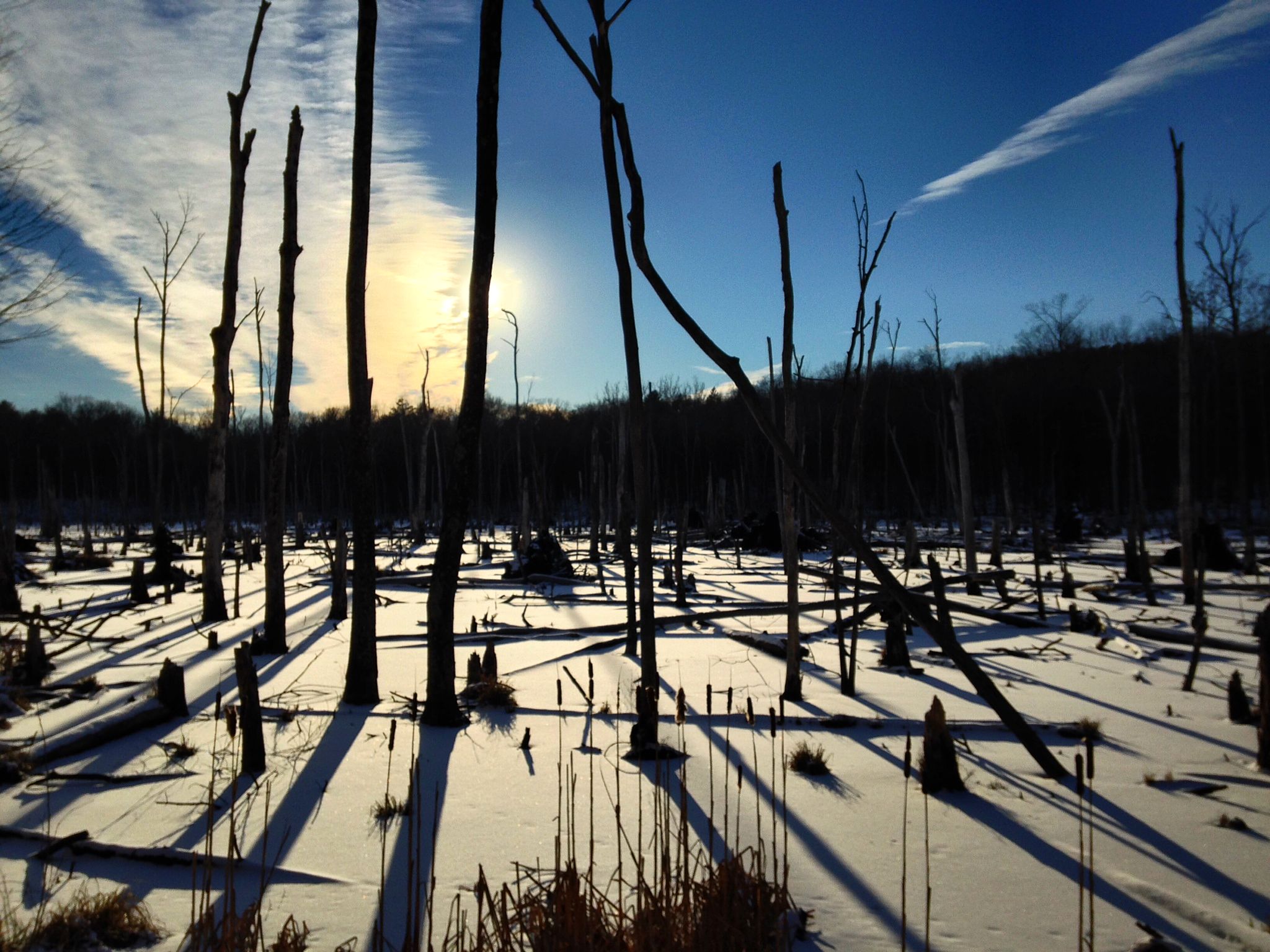
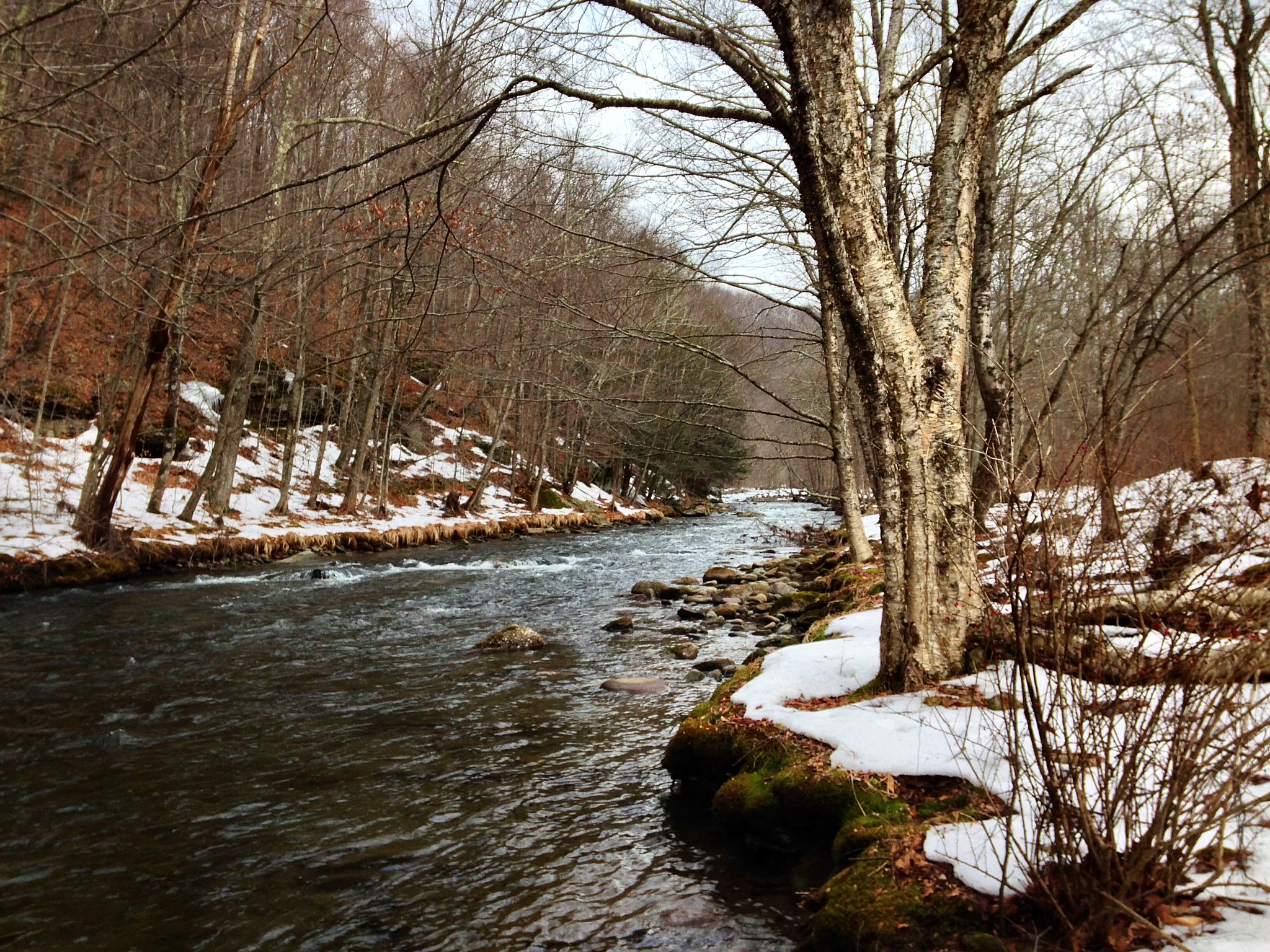
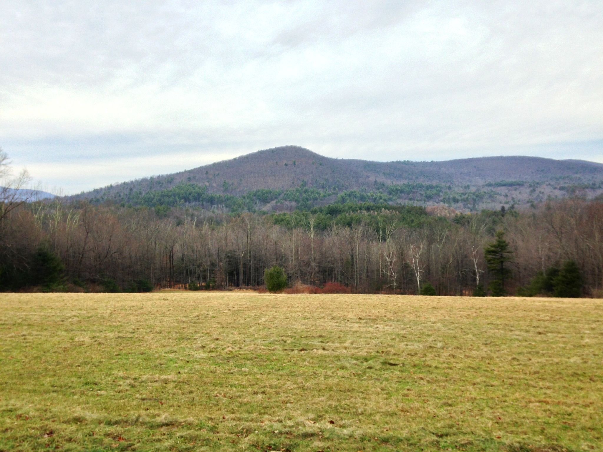
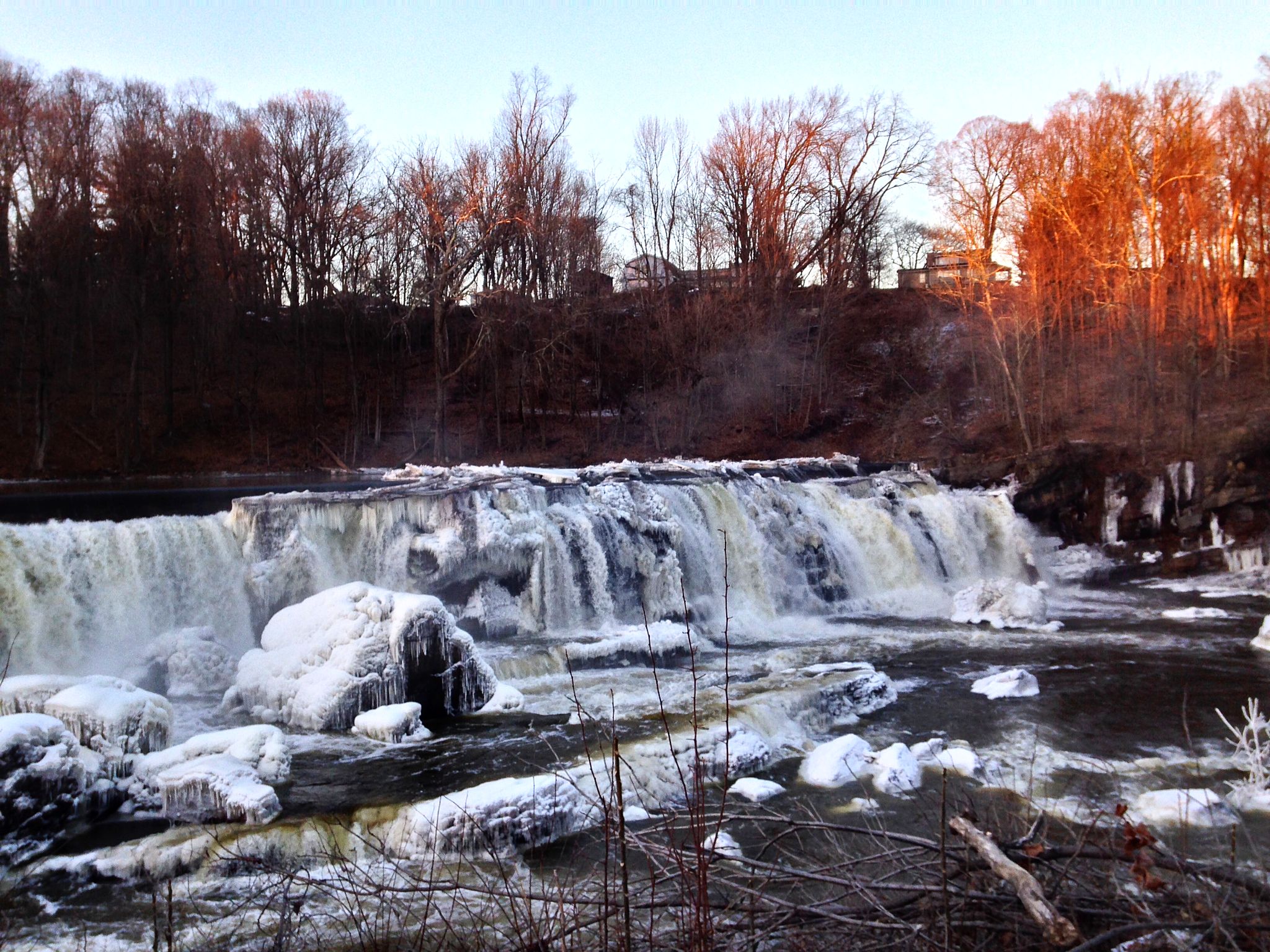
Pass hunting originated in France, where it’s still popular. It’s big in Japan. Few locations in the US have mountains as steep as in France and Japan, which may explain the sport’s greater popularity in those countries.  But there are some pass hunting-style clubs here in the US, and there’s no reason one couldn’t work right here, in the Catskills. Our peaks aren’t as tall, but readers of this blog know that the Catskills have some of the most challenging hill climbing in the eastern US, and pass hunting is really about enjoying the experience of climbing mountains.

One caveat to pass hunting in the Catskills is that there are actually very few USGS-defined passes (only two in Delaware County, and I’ve unwittingly ridden both).  In France, the game rules explicitly disallow claiming designated land features other than passes, such as summits (which, as designated by the USGS, are abundant in the Catskills). So calling it Pass Hunting may be a technical stretch of the rules. If one wanted to adhere to rules. Another caveat is elevation: in France the rules hold that some passes must be above a certain height which is unachievable in the Catskills. Perhaps we should call it Summit Seeking. If we want to align the sport with geologically correct terms.

I played around with the USGS website and found it very easy to generate table lists of geological features (along with their latitudinal and longitudinal coordinates) within a defined region, filterable by any number of criteria, such as elevation.  For fun, I ran a query to identify the top 100 highest summits in Delaware County (given the dearth of passes). I limited the search to Delaware County because that’s where I’m most likely to ride whenever I’m out that way from Boston. The table is easily copied and pasted into Excel, from where the data can be formatted for import into Google maps. This means you can nearly instantly create your own Carte des cols de Google. Google does a great job with the way it allows users to annotate, sort and style the imported data, so you can label and color pins by any categories present in your imported data table (for example, you can label by elevation, and color by town, or by whether you’ve ridden it or not). You can import as many data tables as you like, for different types of data, and toggle any combination of them. One table could be summits, another could be USGS-designated waterfalls, if you were so inclined to do a bicycle tour of area waterfalls. Clicking on a map pin gets you a popup with all the information for that pin from the data table (for example, the historical name of the feature, like “Devil’s Backbone”).

I assembled a “Summit Seeking” map marking the 100 highest USGS summits in Delaware County, labeled by elevation and colored to denote which ones I’ve completed. A similar map can just as easily be made for all of the Catskills, or anywhere else:

Capture

If anyone is interested in learning how to create their own Google maps using USGS features as starting points for your own summit seeking adventures, let me know. At the very least, one can use this tool to help create and track your own personal riding goals based on geological features, wherever you live and ride. But who knows… if there’s enough interest, we could get a bona-fide club started. Rules could be crafted to make it reasonable for people to achieve goals even if they don’t ride in the same region– for example, the goal requirement for a soloist could be something like completing any 20 peaks out of 100 in one year.  Teams could divide and conquer: any 40 peaks with at least 50 miles between the farthest two. Or at least 3 peaks in every township. That sort of thing. And how cool would it be to pin this to your saddlebag upon completion:

Capture

–Somervillain


Basha Kill Single Speed Century

The relentless very cold weather has been strangling any chance of a long ride for the past couple of weeks. (According to the always entertaining Hudson Valley Weather blog, we are currently experiencing the longest sustained below-freezing period in many years, perhaps ever.) But yesterday the forecast was for a balmy 30F! Sure, the wind chill was about 5F, but it’s all relative.

My specific goal was to do 100 miles on the single speed. I originally planned to do the Frost Valley loop through the Catskills, but the forecast there was for a couple inches of snow. Instead I plotted a route following the Shawangunk Ridge south into Sullivan and Orange counties, an area I haven’t ridden in much.

A note on dressing for weather: always dress for the wind chill and the expected level of effort. The harder you plan to work, the more you need to underdress, to the point where a hard-working ride requires you to be downright cold when you’re starting out. Yesterday, with a wind chill of 5F and a leisurely pace, was one notch above “wear everything.” Insulated bib tights, a thin wool baselayer, soft shell jacket, balaclava, glove liners and lobster gloves, wool socks, winter cycling boots, and chemical toe warmers (which are magically wonderful). As it turned out, I was slightly overdressed, but not to the point of sweating through the clothes, which is an experience really worth avoiding in the cold.

The first 30 miles were an easy, familiar cruise along the base of the Gunks. As I rode south, the road conditions improved; my road is still covered in packed snow, but it looked like less snow had fallen in Sullivan County. Unfortunately, I was riding into a full headwind, so it was slow going.

Around mile 30, the road turned upwards to cross the ridge. I picked the least challenging route up and over, but there were still a few sections of 8%-type grades, which are challenging on a single speed, especially because steep grades tend to be both iciest and most heavily sanded. Nothing too crazy, though, and soon enough I was at the top of the ridge at High View.

60 years ago, this area was home to dozens of Borscht Belt resorts, ranging from small family operations to relatively grand hotels like the Shawanga Lodge. Now, they are all decrepit ruins, sad reminders of a heyday that has long since faded away. There has been some recent investment in the area, partly fueled by (and fueling) the 2013 New York proposition permitting some casino gambling, and partly hoping to cater to the wealthy eco-spa set. We’ll see what will come of these plans.

In any case, a fast descent off the other side of the ridge led into Wurtsboro, a biker town as in Harley (not as in Surly). It’s marginally scenic in seasons other than the dead of winter, but honestly somewhat grim in January. This was the outer boundary of my previous cycling experience, and I was delighted to find that as soon as I turned off of Main Street, the route became spectacular. I followed a small road along the shoulders of the ridge, slowly picking up altitude as a wide tract of wilderness opened up beneath me. It started to snow, just enough to be scenic, not enough to be a bummer.

farm field

The road (marked on Google Maps as Haven or South Road, but road signs in situ said Indian Orchard) became increasingly scenic as it became clear this was some sort of preserve. I stopped at a lovely frozen stream, which rose almost vertically yet somehow was not a frozen waterfall.

falls

Finally, I passed a sign identifying this area as the Basha Kill wetlands, much to my surprise. I’ve canoed at the Basha Kill several times in the summer, but it was completely unrecognizable in winter (also, I was on the other side of the wetland from the main approach). It would have made a fine ride destination if I’d thought of it. As it happened, it was just a happy coincidence. I’ll be returning to ride this area again, for sure.

At the end of the road, I climbed back up to the top of the ridge, now in Orange County, to the town of Otisville. I was struck by how much more upscale this area seemed than the other side of the ridge — not that it was fancy, more that it wasn’t visibly depressed. Then I noticed a sign for a Metro-North station. It’s only one stop from the end of the line, but a conduit for commuters and NYC salaries makes a big difference to a town’s median income.

The next 30 miles or so were a spectacular, gradual descent through rolling farmland, with a steady tailwind. Really, there’s nothing like a gradual descent and a strong tailwind for a fantastic bike ride. The farms were pretty and well-kept, this is quite a nice area to ride. The only downside yesterday was that in many places, a sort of crosswind tunnel effect would blow a significant amount of snow across the road, which had to be forded while bracing against the sudden crosswind.

Back in Ulster County, I passed the Shawangunk Grasslands wildlife refuge, a former army airfield that is now a 600 acre preserve. This seemingly unremarkable giant meadow is actually an important wintering and migration habitat for the entire roster of endangered and threatened grassland birds. If you’re into birds, it’s a great destination, especially in spring when birds are nesting.

The skies finally started to clear as I re-entered the super-familiar radius of about 30 miles from home. As the skies cleared, the wind and temperature both dropped, but that was fine. Cold and sunny is better than slightly less cold, cloudy and gusty.

sandhill

Some leisurely calculation revealed that if I headed more or less directly home, I’d end up with about 95 miles. Sure, it’s arbitrary and contrived, but I jinked a few miles east to ride home past the Black Creek swamp and ensure three digits of mileage.

swamp

Once home, I proceeded to eat everything in the house, and was treated to a spectacular sunset out the back window. This is an undoctored photograph, honest.

sunset

This was a great ride. 100 miles in January is hard on the equipment, though. I doubt this chain has many more January centuries in it.  The freewheel is starting to go as well, probably full of sand.

bike

The route:

Capture

— John S, aka globecanvas

A Single Speed Odyssey

I’ve been riding the crap out of the single speed winter bike I built up a few weeks ago. It’s very handy to have two different gear combinations on the bike, and a couple of times I have changed gears mid-ride, which takes about a minute.

The roads are all covered with salt and sand and occasionally slush. It’s comforting to ride a bike without listening to grit pass through the derailleur pulleys, or rim brakes grinding sand into the braking surface. It just doesn’t feel like there’s anything that can break on this bike. (Plus, getting back on a real road bike in the spring is going to feel like collecting a video game power-up.)

Yesterday I set off to do 5 hours through the mountains. Between the hills, the road conditions, and the single speed, I knew it wouldn’t be a ton of miles, but I wanted to get in a good long day of pedaling.

Here’s a popular swimming hole on the Peterskill creek. Although the water is mostly not frozen solid, there was nobody swimming today.

peterskill

For most of the first 40 miles of the ride, I was following the Rondout river, which runs through my back yard, all the way back to its source on Peekamoose Mountain. Here’s the obligatory bike-at-the-reservoir shot, at the Rondout reservoir (which it must be admitted is far less photogenic than the Ashokan reservoir).

reservoir

Riding up the mountain pass, the Rondout gets narrower and faster. The road is sometimes right next to the river, and sometimes 60 feet above. The second photo is Blue Hole, a remote but absolutely gorgeous swimming hole. Nobody swimming today though.

rondout

blue hole

From Ellenville all the way to the top of the Peekamoose pass is about 25 miles at an average grade of 1.5%, which is just about perfect on a single speed. Of course it’s not just a ramp, there are many short steeper sections along the way, but I was running 42×16 all day and it was just fine.

The road conditions through the mountain valley were poor. The snow is just about gone at my house, but there was still a good 12 inches on the ground in the Southern Catskills, and a couple of freeze/thaw cycles means there’s a good amount of snow and ice on the road. The local road crews have dumped copious amounts of sand, but in many places that just seems to encase and preserve the ice. I had to pick a line through the ice, which made for slow going but was generally not too dangerous, especially because I saw exactly one vehicle for literally an hour, and he was friendly (or nervous) enough to come to a complete stop until I was past him.

The 5-mile descent off the north side of Peekamoose is much steeper than the ascent from the south, but the road cleared up quickly. Honestly, I think part of the reason is that there’s a town boundary right at the top of the pass and the town of Olive has better highway department resources than the town of Denning. I rode the brakes through the first, super-steep part of the descent, but after that it was smooth sailing.

While cruising down the descent, I became suffused with a sense of well-being and happiness. I had been on the bike for 4 hours, and although the pitches weren’t especially steep, I had climbed about 4000 feet with a decently big gear (70 gear inches). Endorphins? Dopamine? I have no idea, but it was a fantastic and unfamiliar feeling, not just “I feel pretty good,” but an all-encompassing sense of goodness. I hadn’t been eating much, just one bar since starting out; I don’t know if that was a contributing factor.

At the bottom of the descent I had intended to turn toward home, which would be about another hour of riding, but instead I called home to make sure my wife would be there to meet the kids’ school bus, and turned the other way, back into the mountains. I intentionally rode up Piney Point Road, which is a brutal climb with a crux pitch of well over 20%. I managed to ride it on the 42×16, although it wasn’t pretty, and I’m glad there wasn’t any traffic coming the other way because I was using the whole road. The sense of well-being persisted, and would last the entire rest of the ride.

piney point

Things got a bit surreal heading into Woodstock, because a cement truck had slid off the road, but the troopers let me ride through the roadblock and continue on. The sun slowly set over the final rolling 20 miles of the ride, from Woodstock around the east end of the Ashokan Reservoir, and down Spillway Road.

barn

The ride ended up being nearly 6 hours, my longest day in the saddle in almost a year, but if the daylight hadn’t come to an end, I could have kept right on riding.

Capture

— John S, aka globecanvas