Monthly Archives: August 2014

Up and Over the Ridge

On Friday’s ride, I decided to abandon all pretense of planning and just go where I felt like going, with a strong preference for riding roads I hadn’t taken before. This is how it ended up:

Friday 8-29

All in all, a  satisfactory ride. In fact, I’d categorize it as worth the trip if you’re coming up from the city and want something shorter (50 miles) that does not require extraordinary effort or fitness.

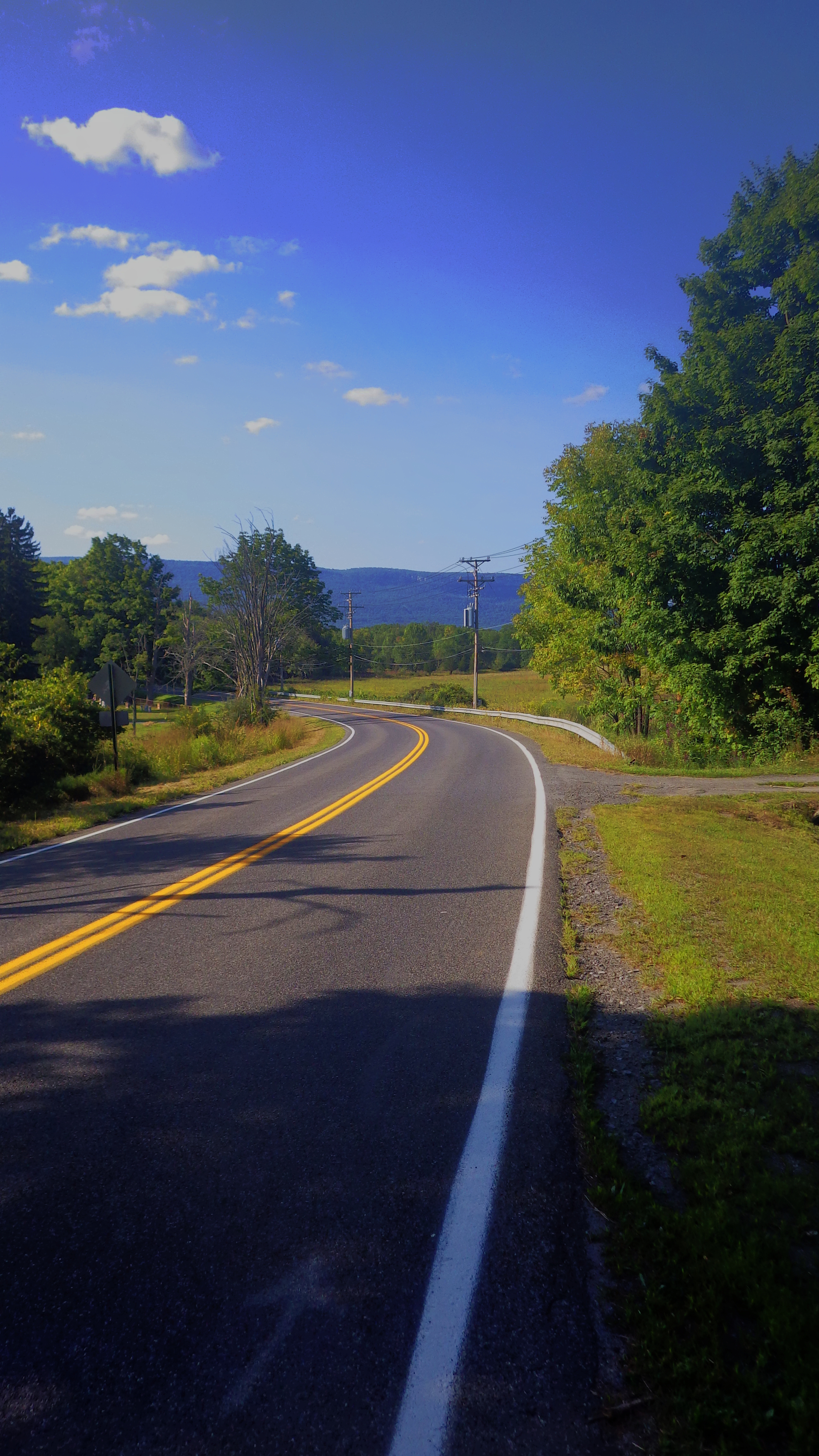
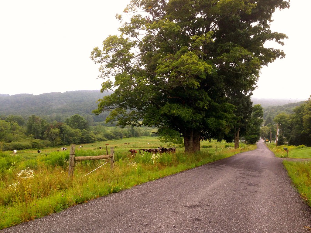
I’d never headed north on Albany Post Road. It’s quite beautiful.

1

2

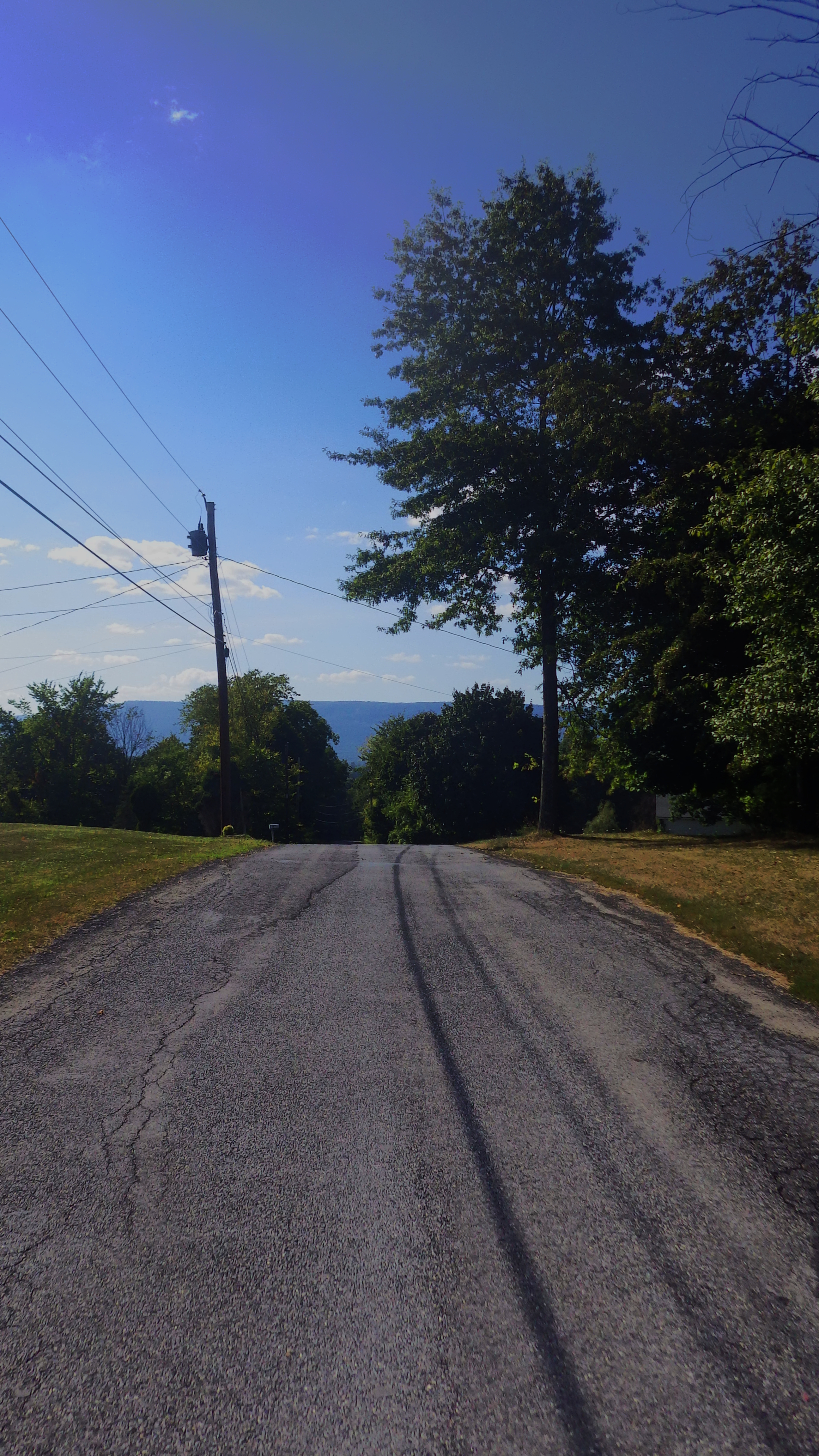
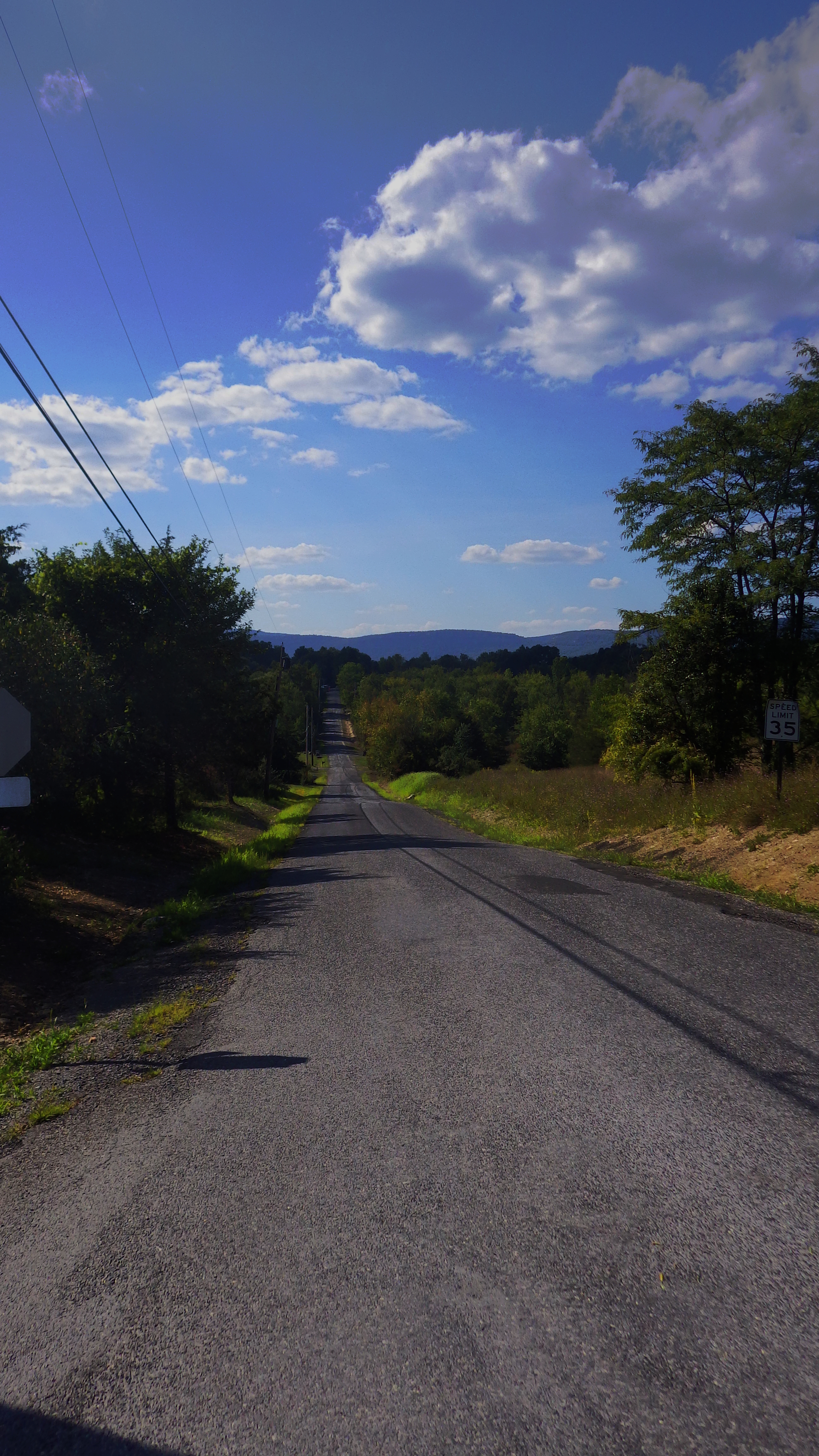
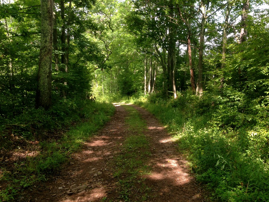
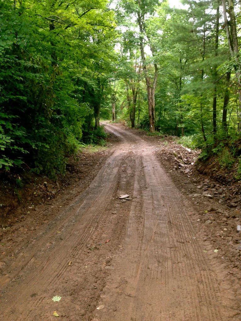
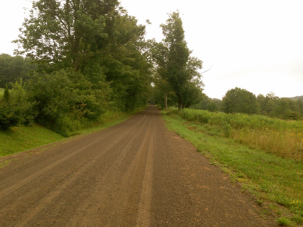
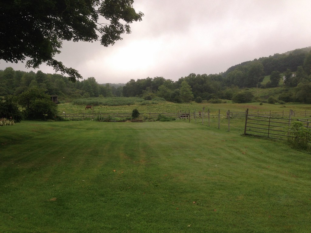
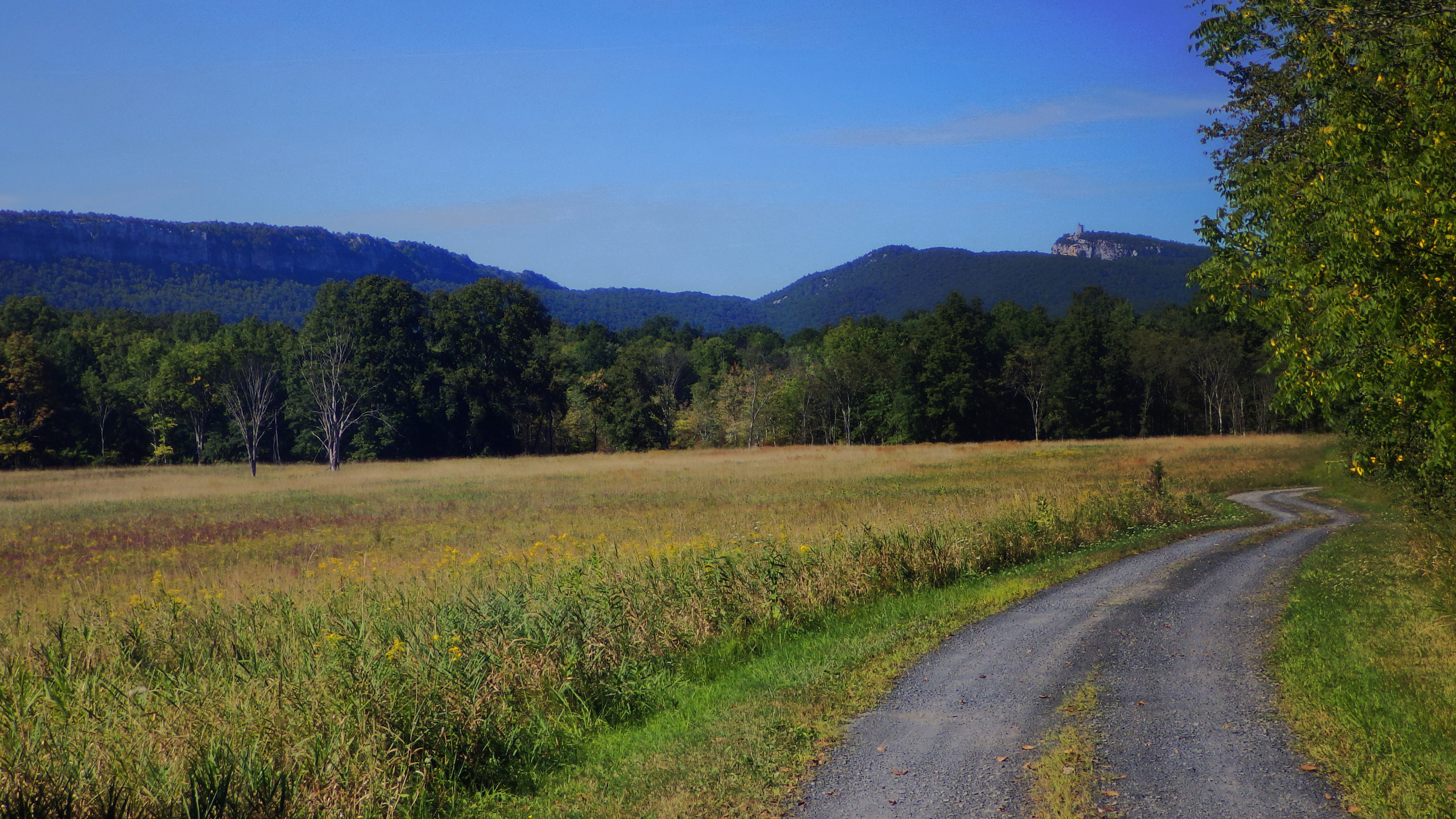
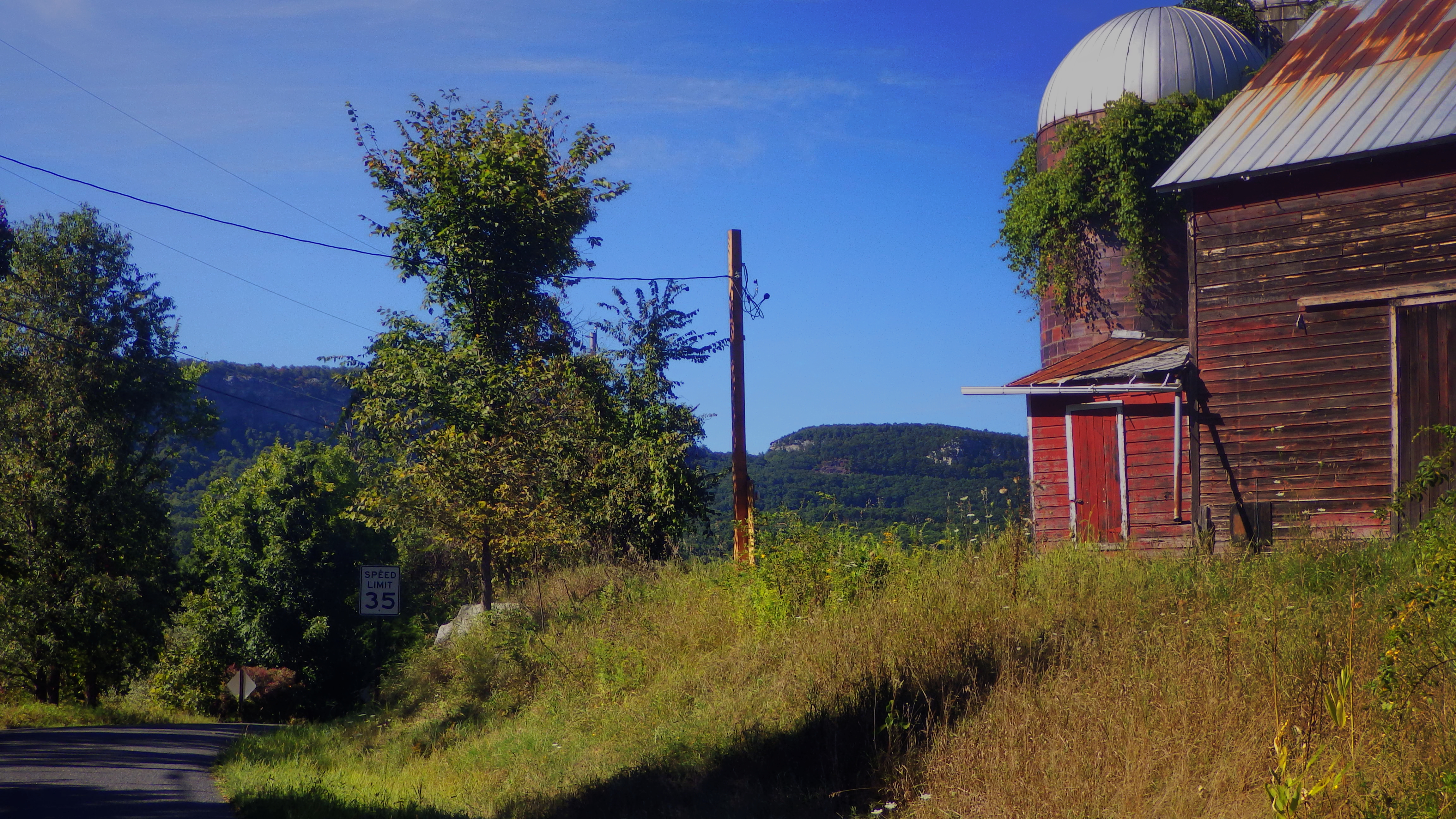
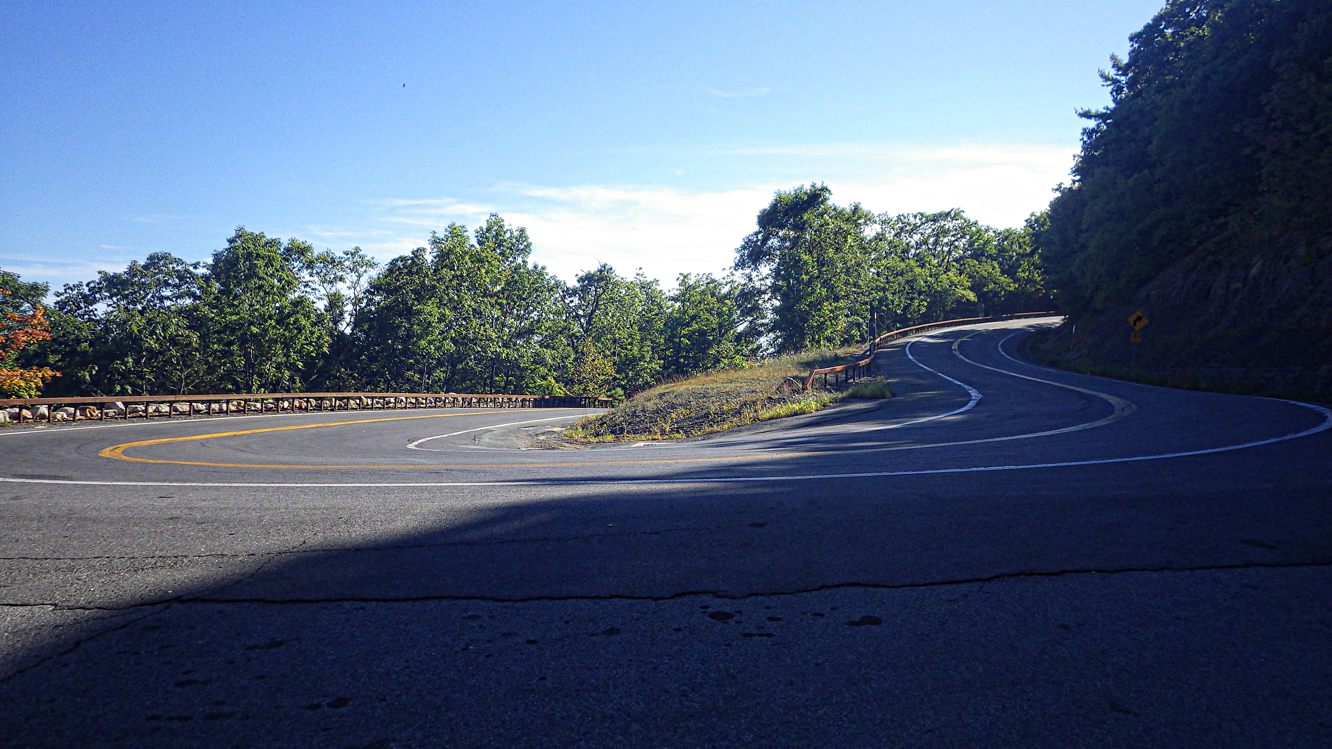
But the highlight of the first 15 miles was Guilford Road. Again, not a road that I’d had a reason to take until now. If you’re planning a ride on the east side of the ridge, make sure you include this road. Click on the first and second picture below for full size and you’ll see what I mean.

3

4

5

6

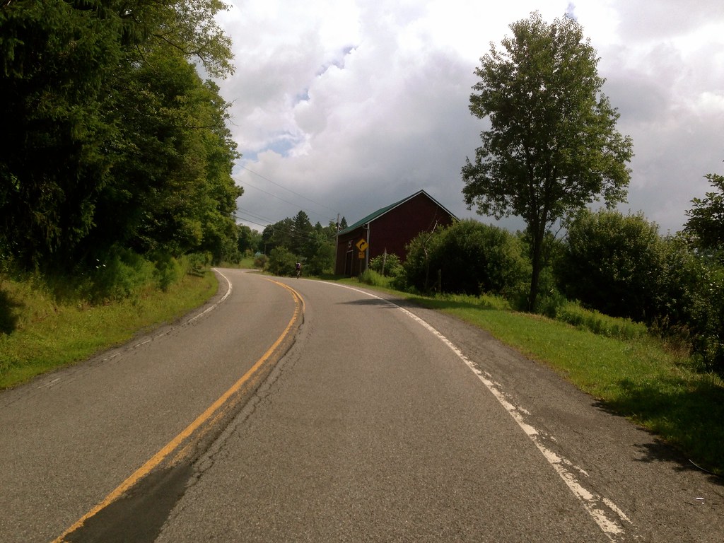
On Guilford, you’ll head up a short but steep climb onto 44/55, where there is a delicious German restaurant called the Mountain Brauhaus if you want to eat hearty. I really love this place–we go to dinner there at least once a month. And we’re not alone, because it’s always packed. If you have a large party or want to eat there during prime dining hours without having to wait an hour for a table, call ahead.

There’s a deli across the road, too.

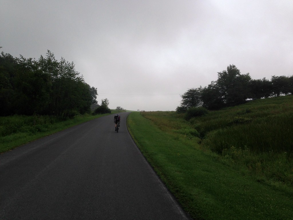
This is the hairpin about 1/5 of the way up the climb over the ridge. This road has a real alpine feel. The only other place (relatively) nearby where you get this sort of feeling is on the climb up 23A north of Woodstock (talk here, route here).

7
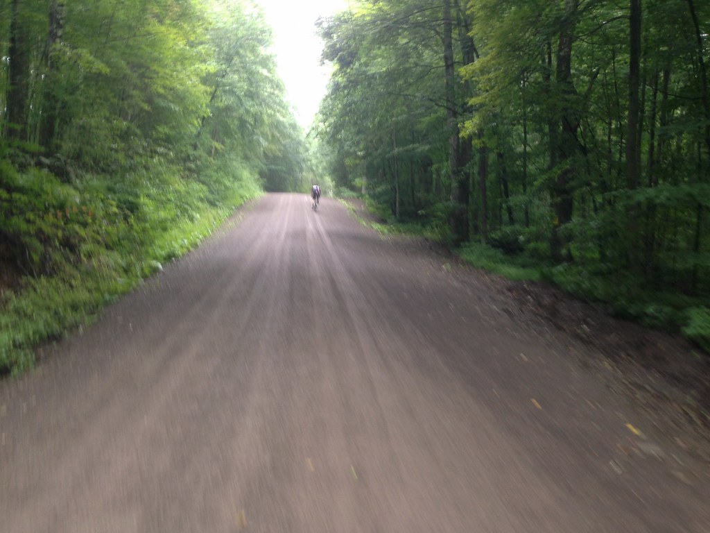
Still climbing…the next day Margot and I went back over the ridge (in a car this time) to visit some friends in Olivebridge. I mentioned that I had climbed up this the day before, and she said “…and that’s why I always say that cycling is the sport for people who hate themselves.” I really feel like this is a pretty easy climb, though.

8

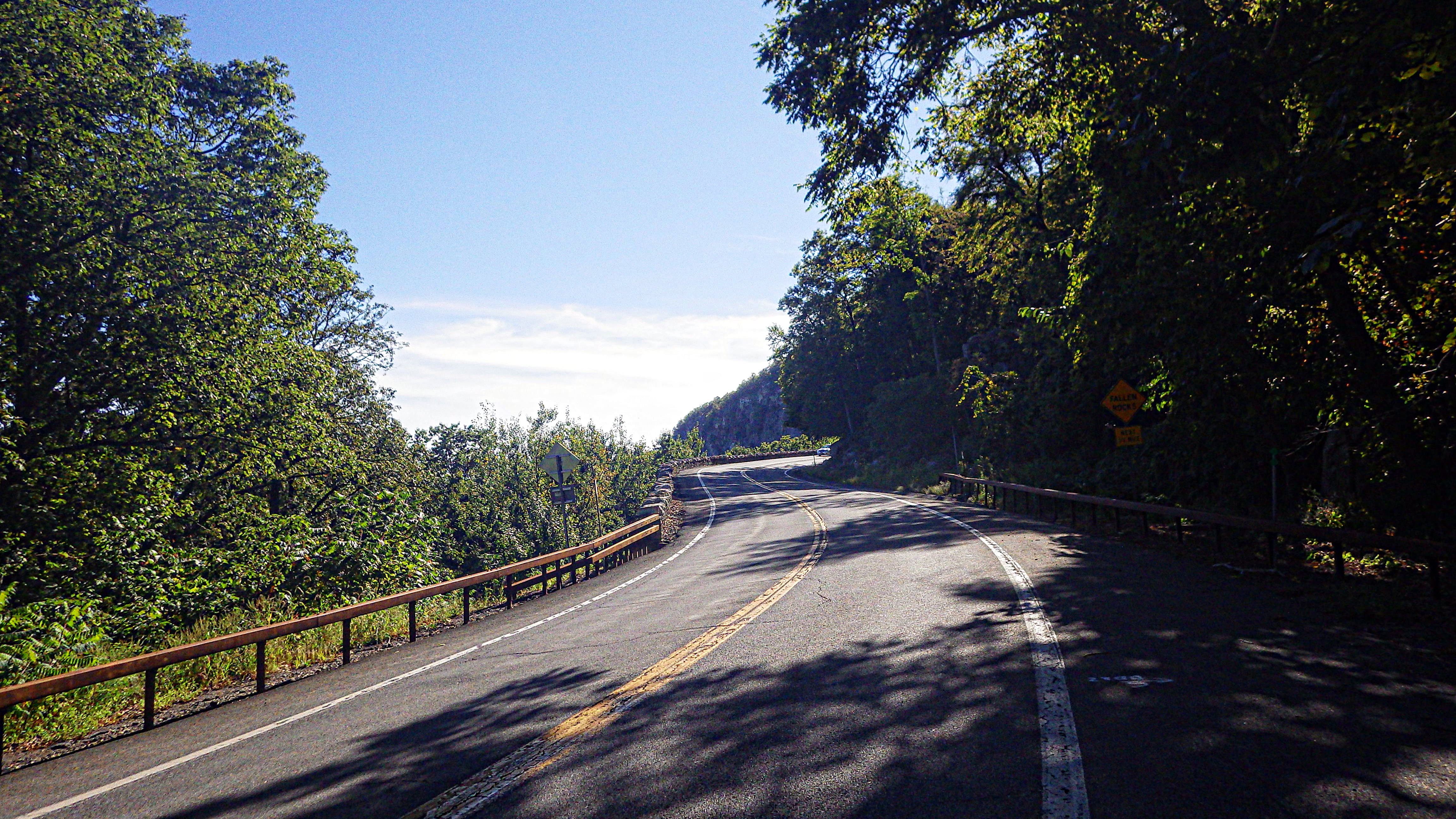
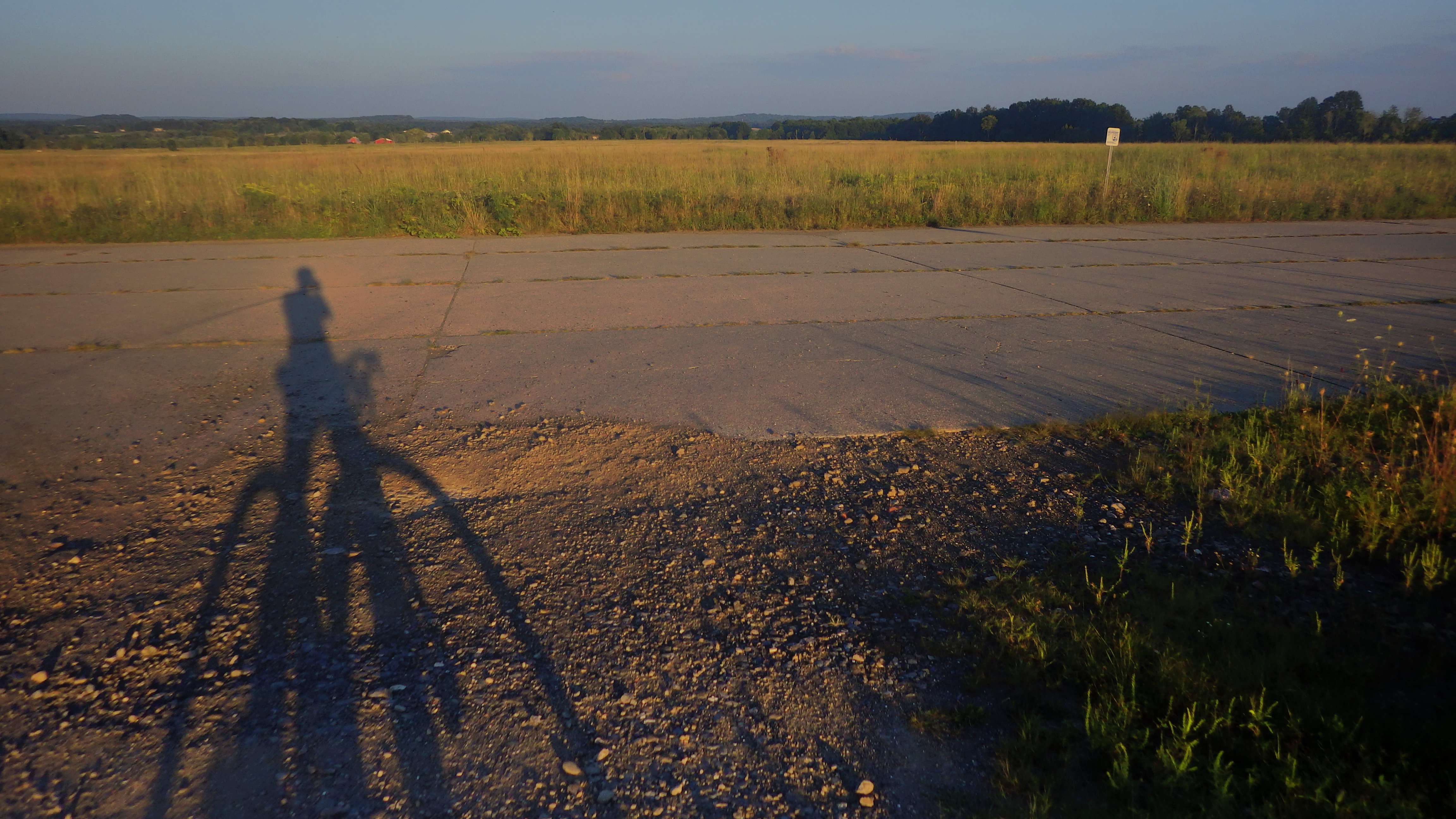
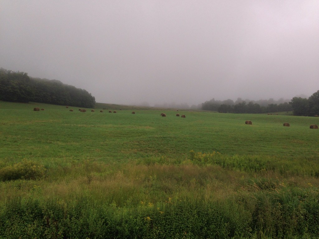
About one-third of the way up, there’s a parking lot on the left. Stop there for a great view.

9

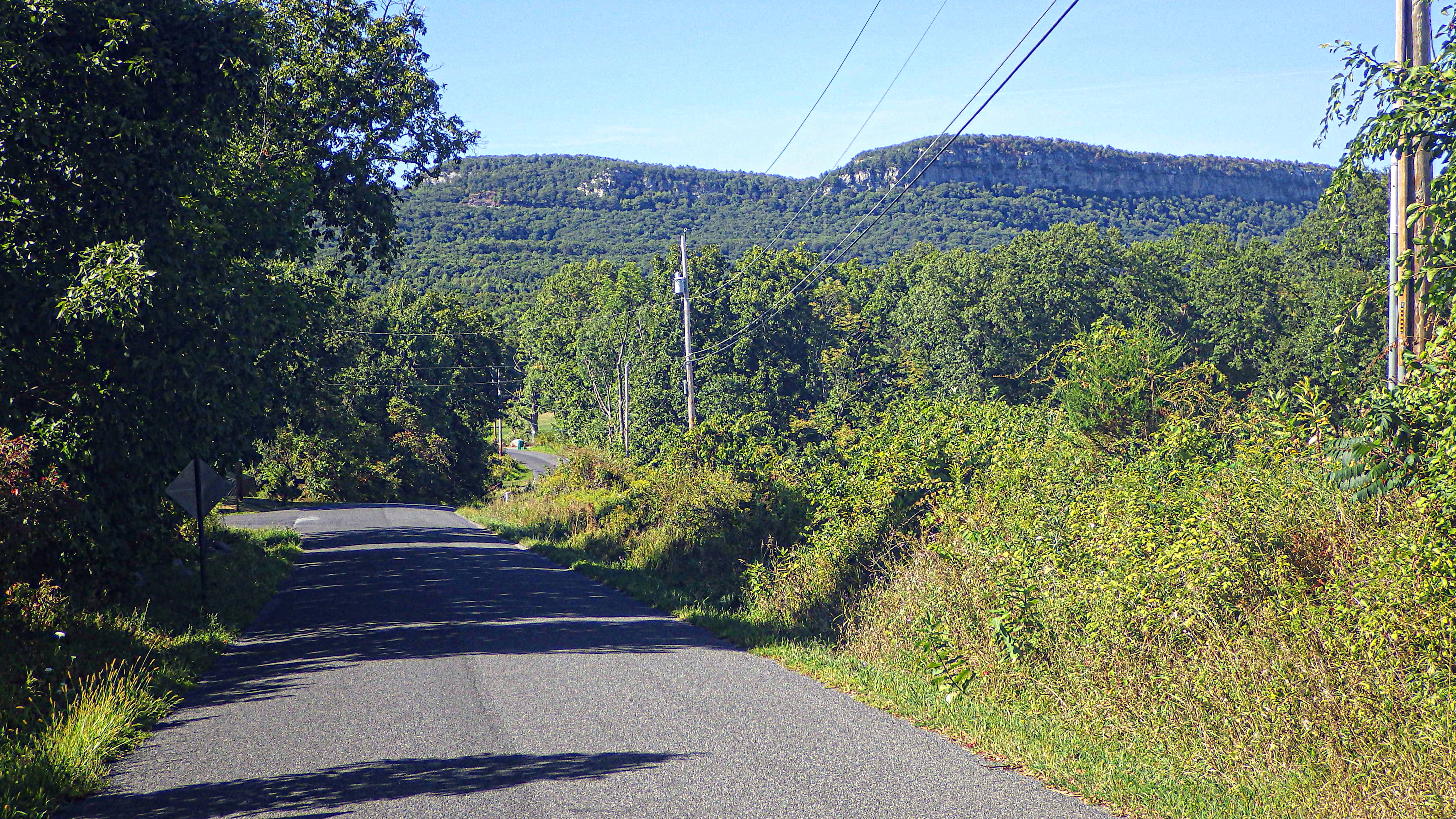
My original intent was to head all the way over on Route 44/55, but as I passed Clove Road I realized that I had never gone down that way…up, yes. But not down. So I turned right on Clove Road. I should also mention that my original intent was to take Undercliff Carriage Trail (at mile 9), and return on Old Minnewaska Trail, which joins up with Clove Road–and from there I was supposed to go back to 44/55 to continue. I got on the trail just past the bridge at mile 9, battled tree roots and head-size boulders on my road bike for 1000 feet, and then got spit back out on 44/55. I don’t know what I did wrong.

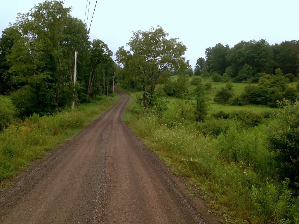
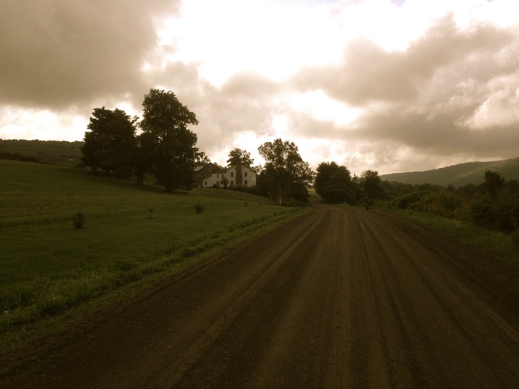
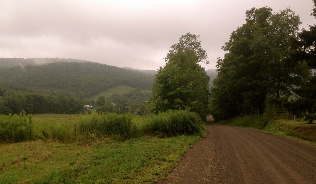
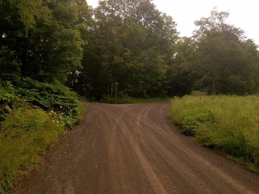
The picture below is Clove Road. A little tough descending near the junction with 44/55 because the road is rough for the first few miles.

10

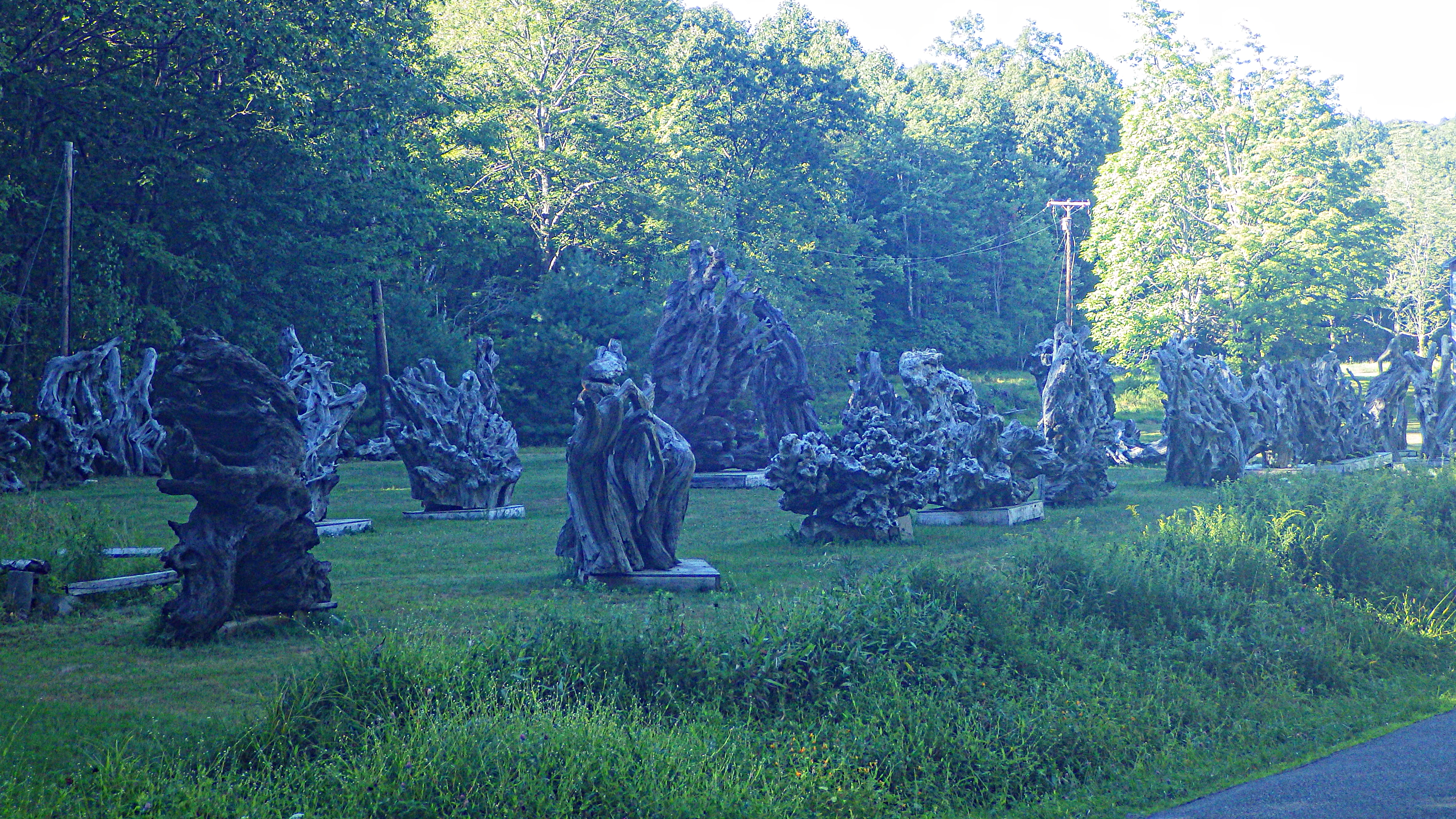
Some guy’s collection of burl? I’m not sure if they are there for their sculptural qualities or to sell. Or maybe they are for giant-sized aquariums?

11

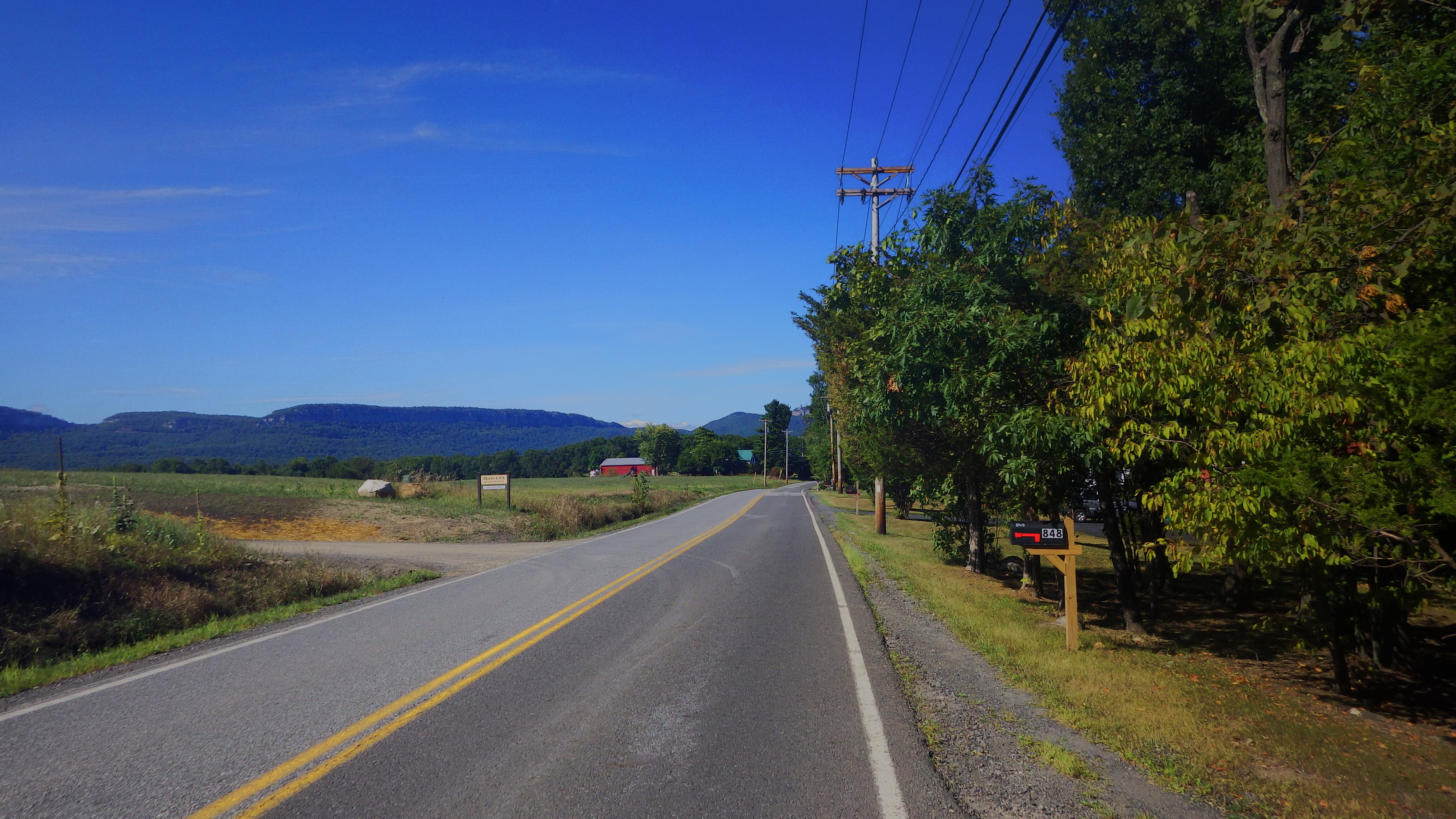
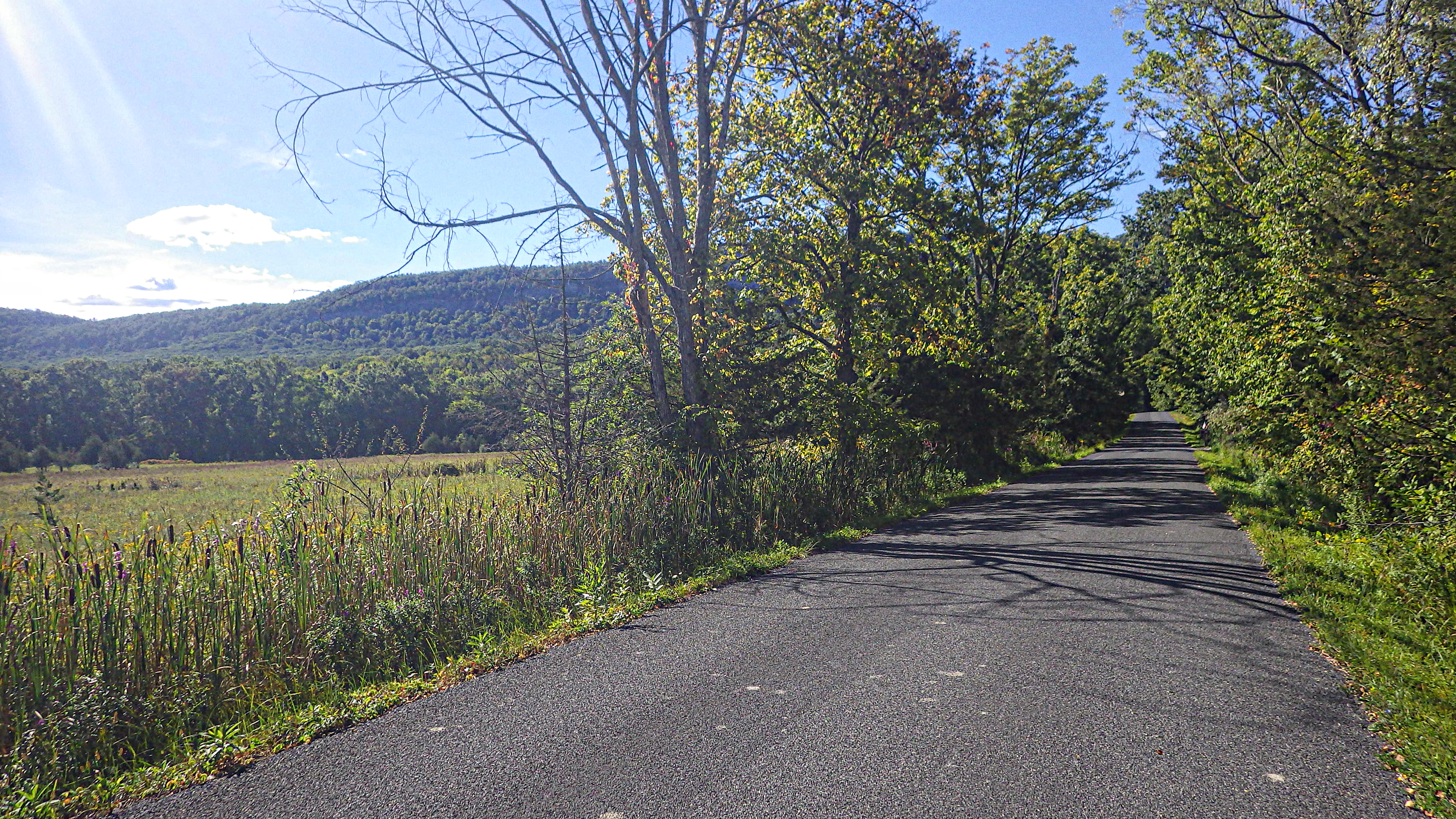
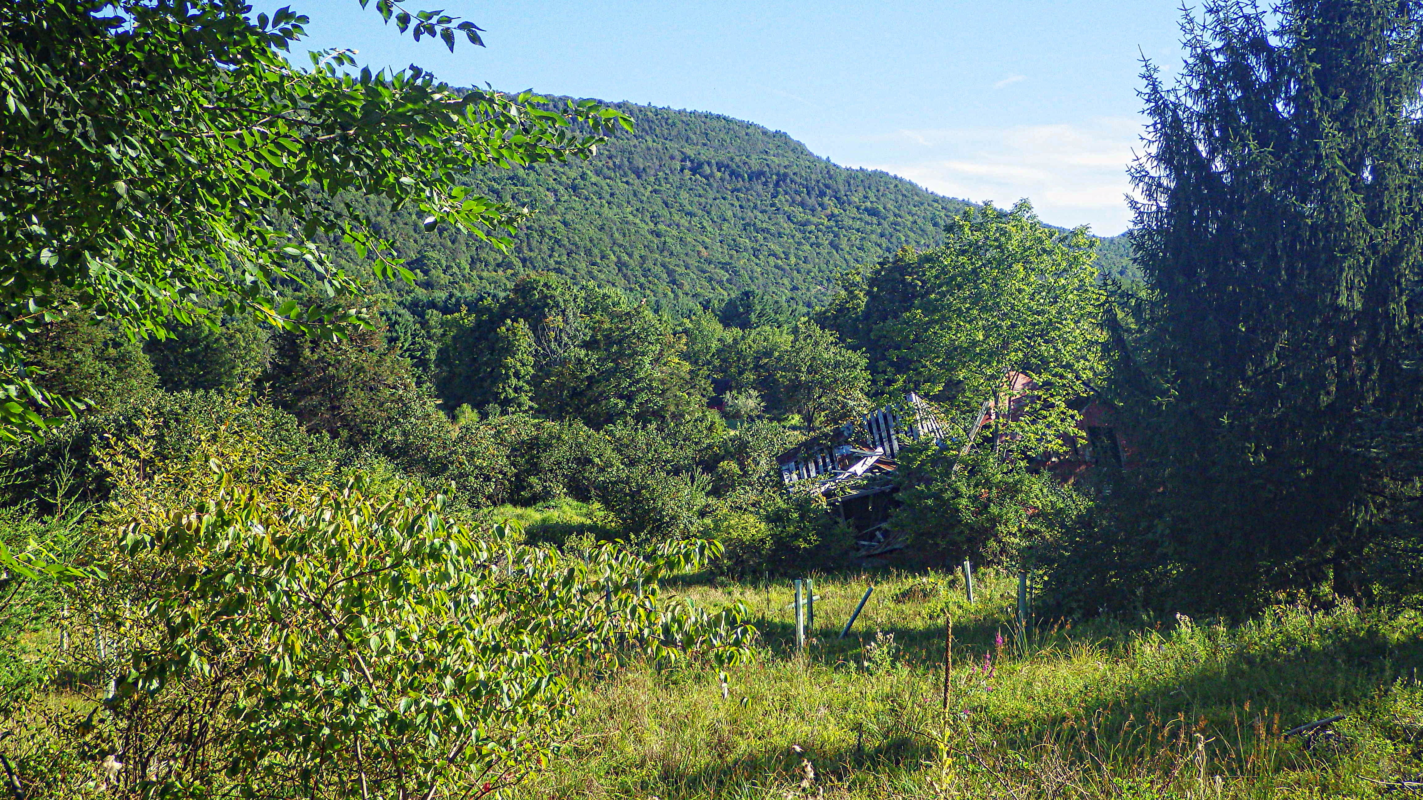
A couple more of Clove Road.

12

This one reminds me of an Alec Soth photo. I’m no Alec Soth but 1 out of every 100 of my photos is decent.

13

And a fierce hunter stalking a…cow and a chicken.

14

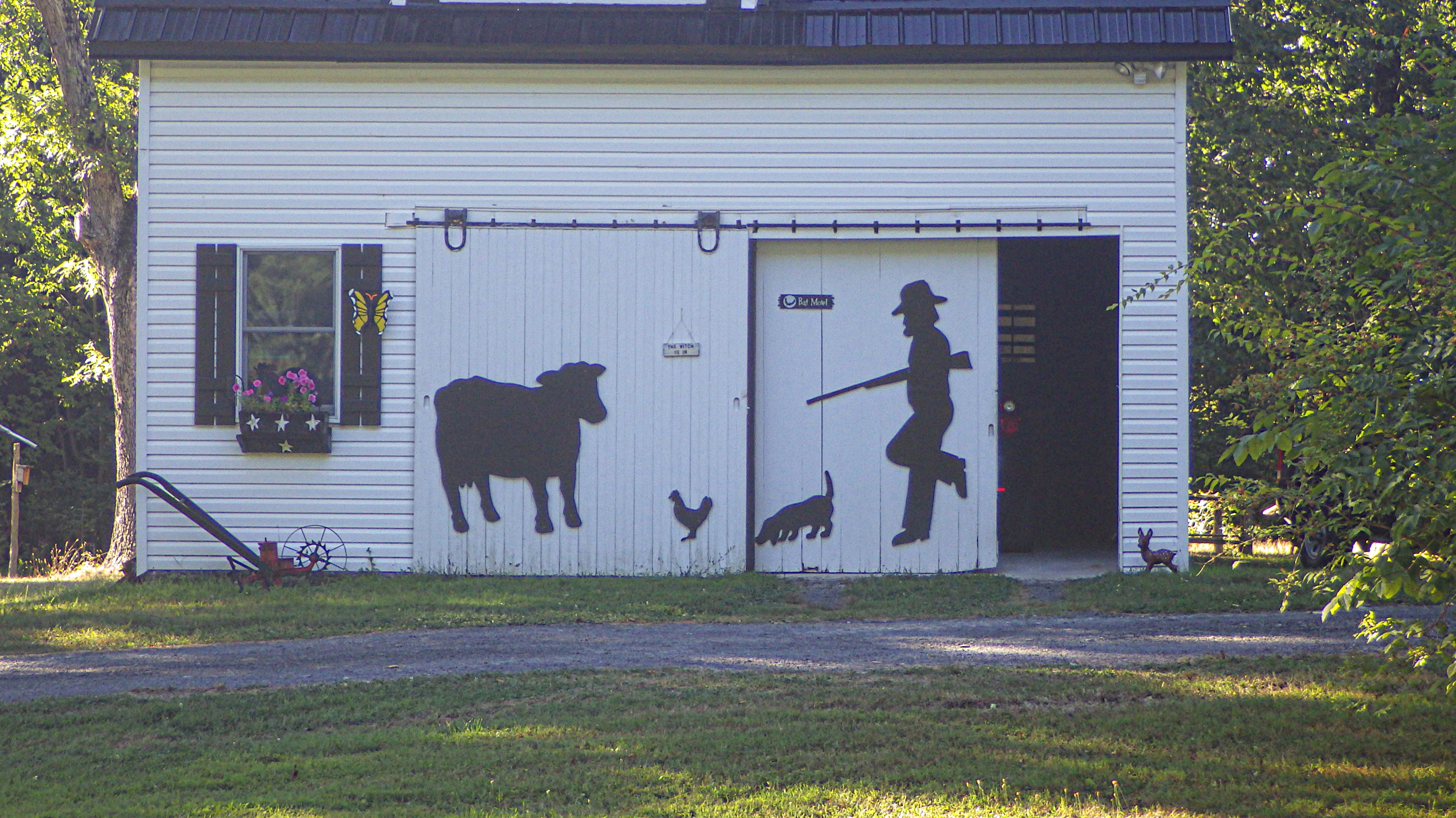
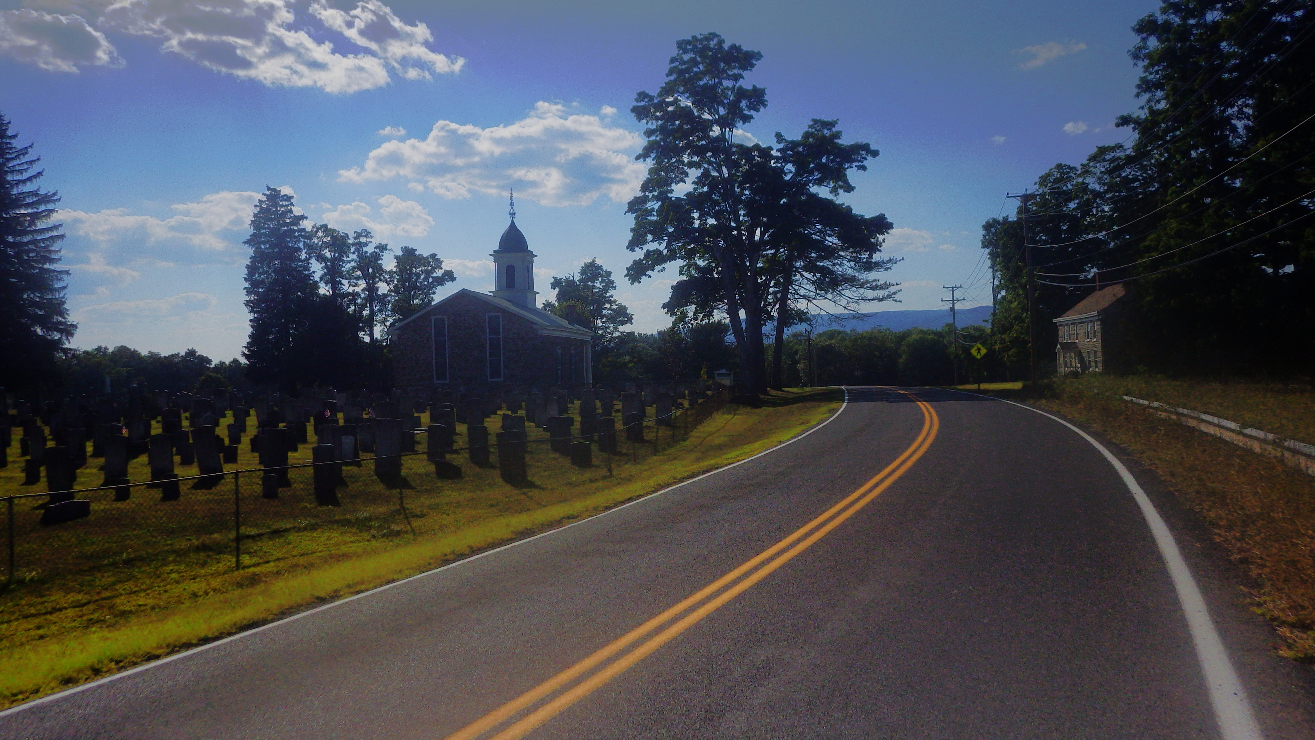
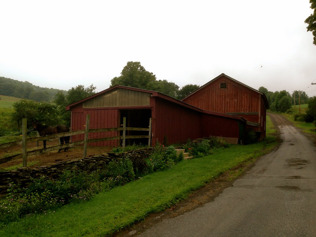
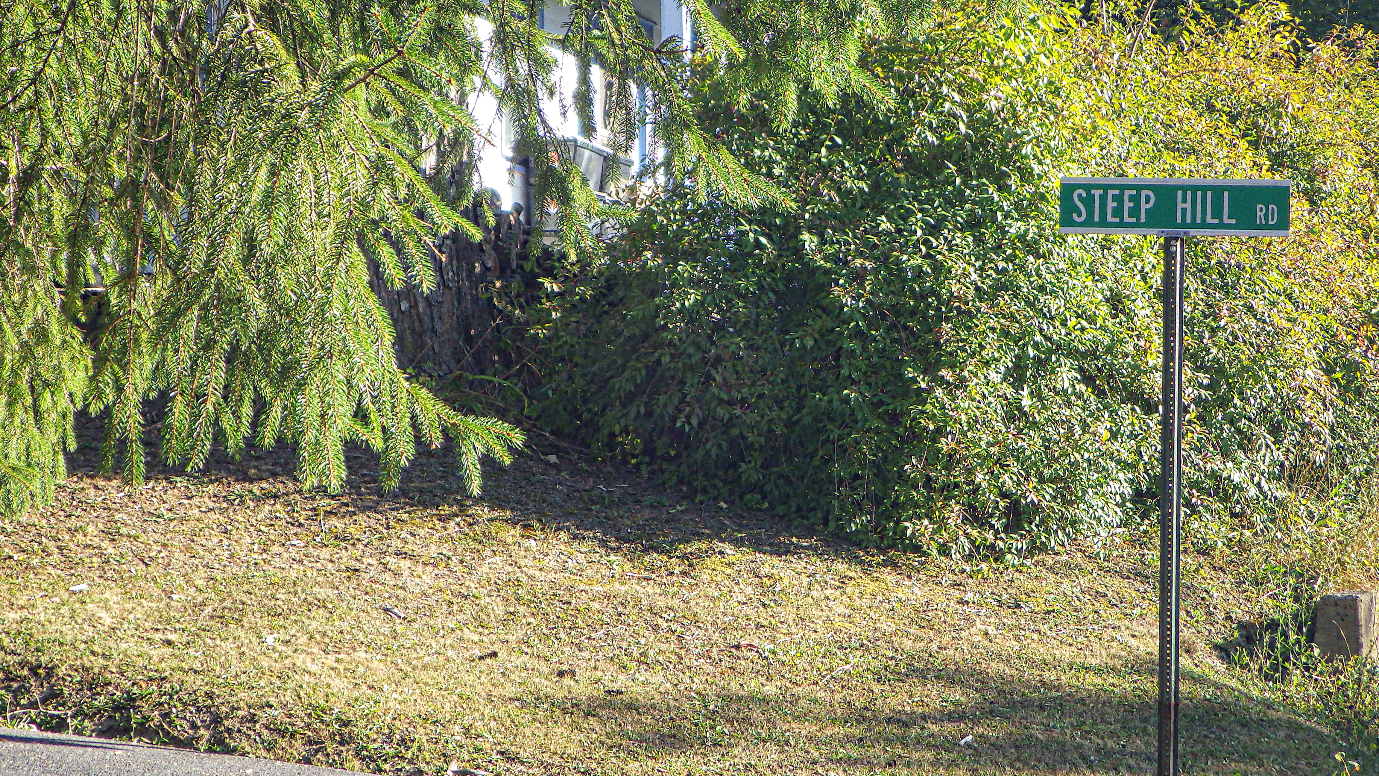
I’m sure my co-blogger is familiar with this road, as he lives nearby. I didn’t test the road sign’s assertion.

15

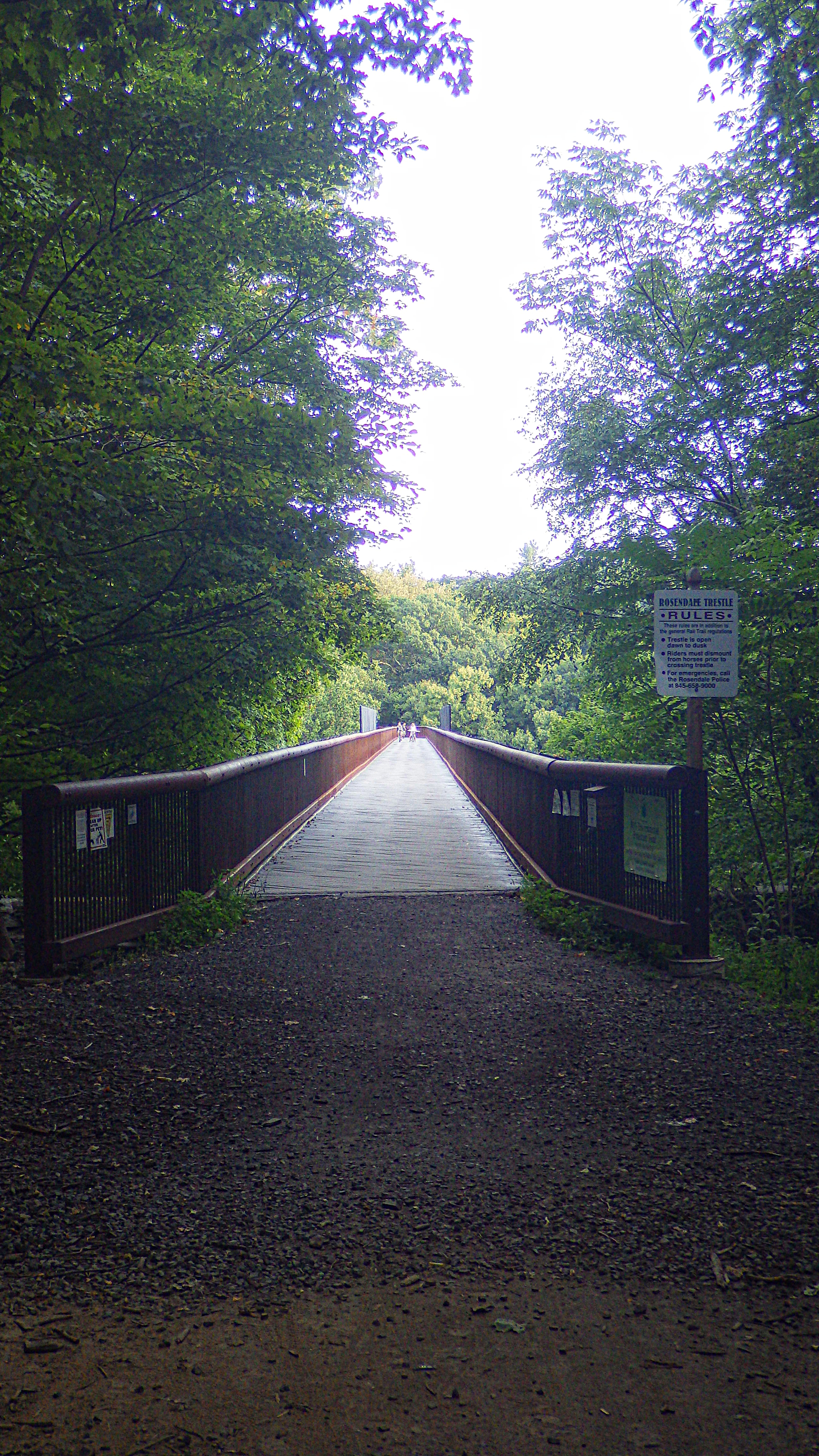
On the way back, I decided–again on the fly–to take the bike path back, because I hadn’t yet been on the trestle over Rosendale. The deck of the trestle is warped pine, and feels unsafe on a bike (although I am sure it is completely safe, right?)

16

The view from the trestle down into Rosendale is worth the risk.17

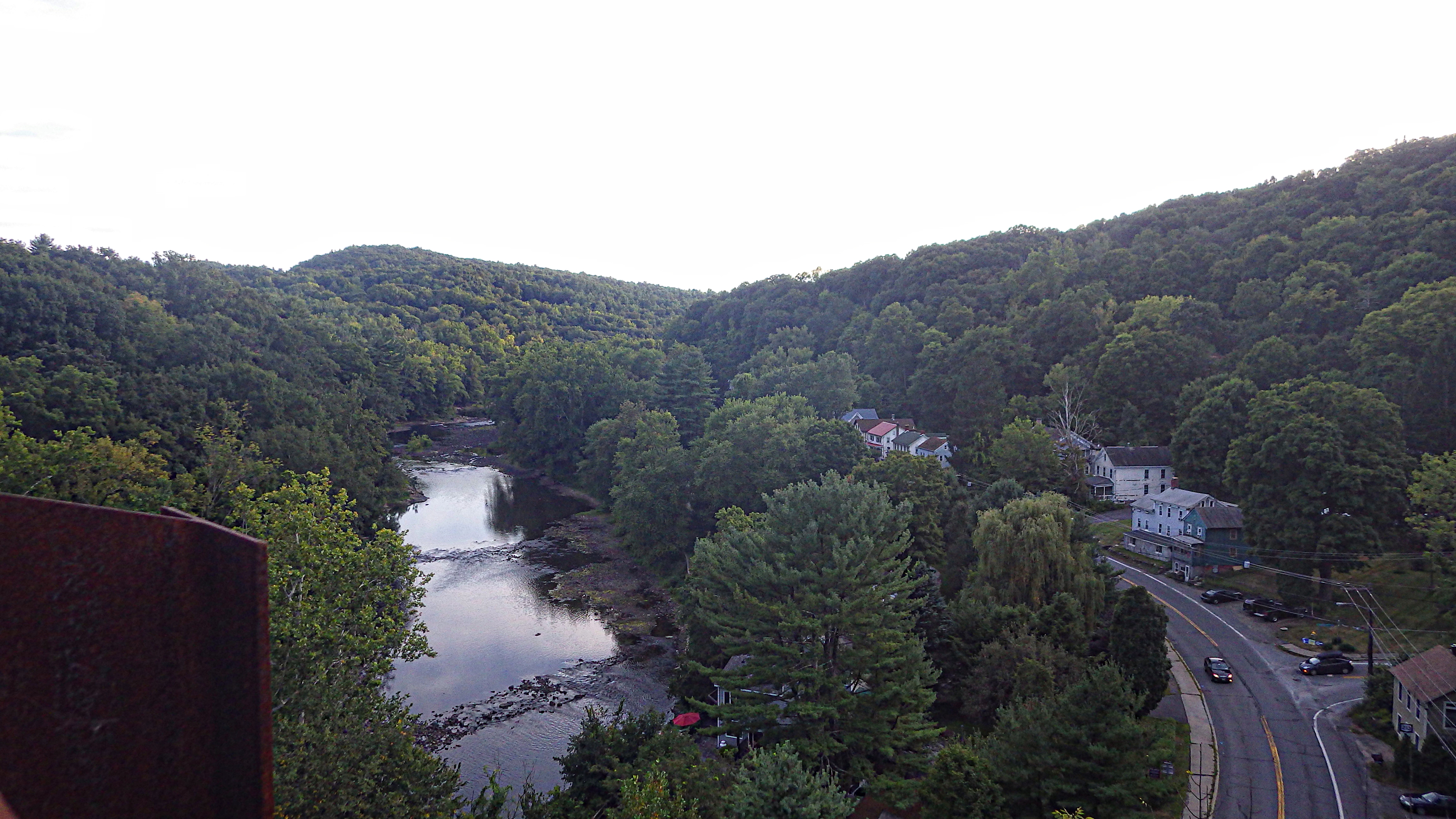
And finally, the bike path. Lovely, but 11 miles on the path on a road bike is a little much for even me–it can be rough in some spots. No need for the full-squish mountain bikes that many rent to ride the trail, though….I just think it would be more fun on my cross bike with 32-mm tires.

18

And…home. I just realized I never posted a picture of Margot’s teeny-tiny Boulder. Don’t laugh at the setup…the choice was either setting up the bike as shown or buying her a children’s bike.

19

If you’re planning just one trip to the Catskills for a cycling adventure, do it in September or October. It’s amazing out here. Saturday, September 13 is Gardiner Day and Sunday, September 14 is Taste of New Paltz. I don’t know wassup with Gardiner Day, except it apparently involves horses and fruit pies. On the other hand, Taste of New Paltz is a major event with lots of good food. Come on up!

One final thing occurred to me…you could also do the route in reverse (which I mapped for you here), which would get you to the Mountain Brauhaus in time for an early dinner. And if you’re looking for a way to ride this route without the bike path segment, let me know.

And that’s all for now! I will have a review for you later this week.

John

medicalwriter.net

Pine Bush

Yeah, it’s that time of year where I start to develop late-summer emaciation. You know, the kind where everyone thinks you’re suffering from some awful wasting disease,* but you’re actually in such good shape that a “casual” 50-mile ride after work seems completely normal.

I’m afraid that I’ve consumed many pints of Ben & Jerry’s in an apparently futile effort to keep from losing that last 6% of body fat–no “healthy” food is doing the trick. If anyone has tips beyond the disgusting peanut butter/protein milkshakes and copious amounts of ice cream I’ve been consuming, please do let me know.

So…yesterday I only had time for a 40. It was actually supposed to be about 30 miles, but I spaced and ended up going partially over the ridge. When I emerged from my fugue state, I was in a different county eating a couple of slices of truly awful pizza.

Anyway…a route and some pictures.

route-5806739-map-fullThe images below are from Farmer’s Turnpike. This is a good way to avoid descending on 44/55 (about mile 3 on the Ride With GPS map). The last time I descended on 44/55, an idiot in a camper passed me with only inches to spare. He also had the temerity to honk at me. This all happened while I was going 40 mph–or about 5 mph over the speed limit. In any case, avoid 44/55 if you can.43You’ll see a lot of pictures of the ridge in this post.

187625A farm outside of Pine Bush.

10

And no matter how long or short the ride, if I pass the Shawangunk Grasslands Reserve, I always stop for a few moments of contemplation.

1112More to come. I finally have a working camera! Also–a few weeks ago I sadly lost my Exposure Toro light, which has served me well. I hit a big bump on a descent and it flew off my handlebars…and down a cliff. I had failed to ensure that it “clicked in”. Anyway, better the light than me! So I got a new Exposure Strada, which comes with a remote switch so you can choose between low and high beams. Review coming soon.

A brief complaint: For some reason, Exposure has decided to partner with Ibex Sports, thus the new “Exposure USA” website. Why they’ve done so is a mystery to me, because the US website is one of the most embarrassingly half-ass things I’ve ever seen. If I was the folks in the UK, I’d be irritated, to say the least, that I’d put my US marketing in the hands of amateurs, particularly as I remember the international site being quite well designed and useful. I imagine after they lose a chunk of their business they’ll be looking elsewhere.

*At a recent meeting, a famous gastroenterologist (yes, there is such a thing) told me I looked like I have celiac disease. I was like, no dude, it probably has something to do with the 200-300 miles I ride every week.

John

medicalwriter.net

New route: Meridale Forty-Three

I’m in the Western Catskills for a couple of weeks, and continuing to discover dirt road cycling gems. Before embarking on vacation, I discovered that Bing maps has this wonderful undocumented feature of distinguishing paved and unpaved roads when zoomed in to 1000ft scale and closer. Unpaved roads are traced in brown (how appropriate!) while paved roads are in white. What a valuable resource for charting out dirt/gravel roads!  To test the accuracy of this feature, I focused on an area just west of my home that I’m not familiar with, one which I’ve driven through once or twice but never ridden.  All new cycling territory.  I made note of all the roads marked as unpaved in Bing maps, then went into ridewithgps and charted out a loop of 43 miles roughly bounded by the towns of Franklin, Walton and Delhi, taking in as many of those roads that would fit in the loop, and at least one place to stop for food and water.  This region is particularly secluded, so options for provisions are slim.

route

To my delight, Bing delivered with impressive accuracy! And unlike some of my other routes which take in sporadic stretches of dirt roads, this route spreads them out evenly, alternating dirt and quiet paved segments with regular periodicity (dirt segments are shown in green).  I was never on pavement for too long before another delicious stretch of dirt road presented itself in front of me. And even more enjoyable, many of these dirt stretches were little more than old carriage trails, narrow, tree-lined, isolated.

The route starts and ends at the Dutch Deli, a small deli and convenience store nestled in the valley village of Meridale, on Route 28 halfway between Delhi and Oneonta. The owner, speaking with a Dutch accent, kindly agreed to let me park my car in the lot for a few hours. Out of courtesy, I would recommend to anyone contemplating doing this route to check in with the owner to confirm that this is okay.

A few days before doing the ride, a Riding the Catskills reader contacted me to inform me he was going to be in the area and would like to do a ride.  Our schedules worked out, so Ben and I met in Meridale to ride the loop together.

From the parking lot, the climbing starts immediately– the route has 4600 feet of climbing in 43 miles, with very few flat segments. The shark-tooth elevation profile illustrates this:


Not two miles into the ride, we experience the first dirt road, Sutherland Rd. As it climbs to the top, it narrows into a tree-lined, single lane road with cut pastures on either side.

Notably, there were more working farms, and less abandoned barns, on this route compared to other areas I’ve reported on.

The other regular site for me, besides dirt roads and barns, was Ben, who, being a stronger climber than I, was always ahead of me in the climbs.

The only road that seriously tested the traction limits of my Compass Babyshoe Pass tires was Pomeroy Rd in Treadwell.  Here, the usual smoothly graded dirt turned first to rocky double track, and then to muddy logging trail, which continued upward for what seemed like a long time. At one point I had to walk as the smooth tire tread began to sink and spin in the mud.

From Pomeroy Rd, a smooth and fast paved descent whooshed us down into the adorable village of Treadwell, the first and only rest stop along the route (and indeed, the only village along the route other than Meridale).

If you’re in Treadwell, be sure to stop in at Barlow’s general store and try their incredibly good homemade donuts! From Treadwell there were two more dirt segments before merging onto Rt 28 for the last mile back into Meridale. (This was the only stretch of state highway in the entire route!).

This cute abandoned storefront could be something wonderful… too bad it’s literally a couple of feet from the highway.

Admittedly, while engaged in good conversation with Ben throughout the ride, I didn’t pay much attention to where I took these shots, so here are just a bunch of random scenes from the ride, in no particular order:

I’d definitely consider this route a ‘must ride’ for anyone in the area.  And finding another wealth of dirt roads and amazing cycling in another little corner of the Catskills just over from mine reminds me just how much more remains to be discovered.  I’ve barely scratched the surface.