Author Archives: John Ferguson

A Review of TRP Spyre Disc Brakes

Edit Dec 7 2013: TRP “has identified a potential safety issue in the lab with the Spyre and Spyre SLC mechanical disc brakes and, as a responsible company, has issued a “stop sell”  notice to our OEM customers and distributors until we have a solution in place. We are working hard on the issue and anticipate a solution very shortly. More information will be forthcoming as soon as possible.”

I’ve removed my Spyres from the English for now. Back to BB7 hell.

This summer has been tough. Lots of work and travel, and not enough time on the bike. I like to put in a minimum of 15 hours a week on the bike, but I’ve been in more of the 10 to 12 hour zone, and a lot of that hasn’t been quality time—just quick dashes around the neighborhood. Good for exercise, but not a lot of fun.

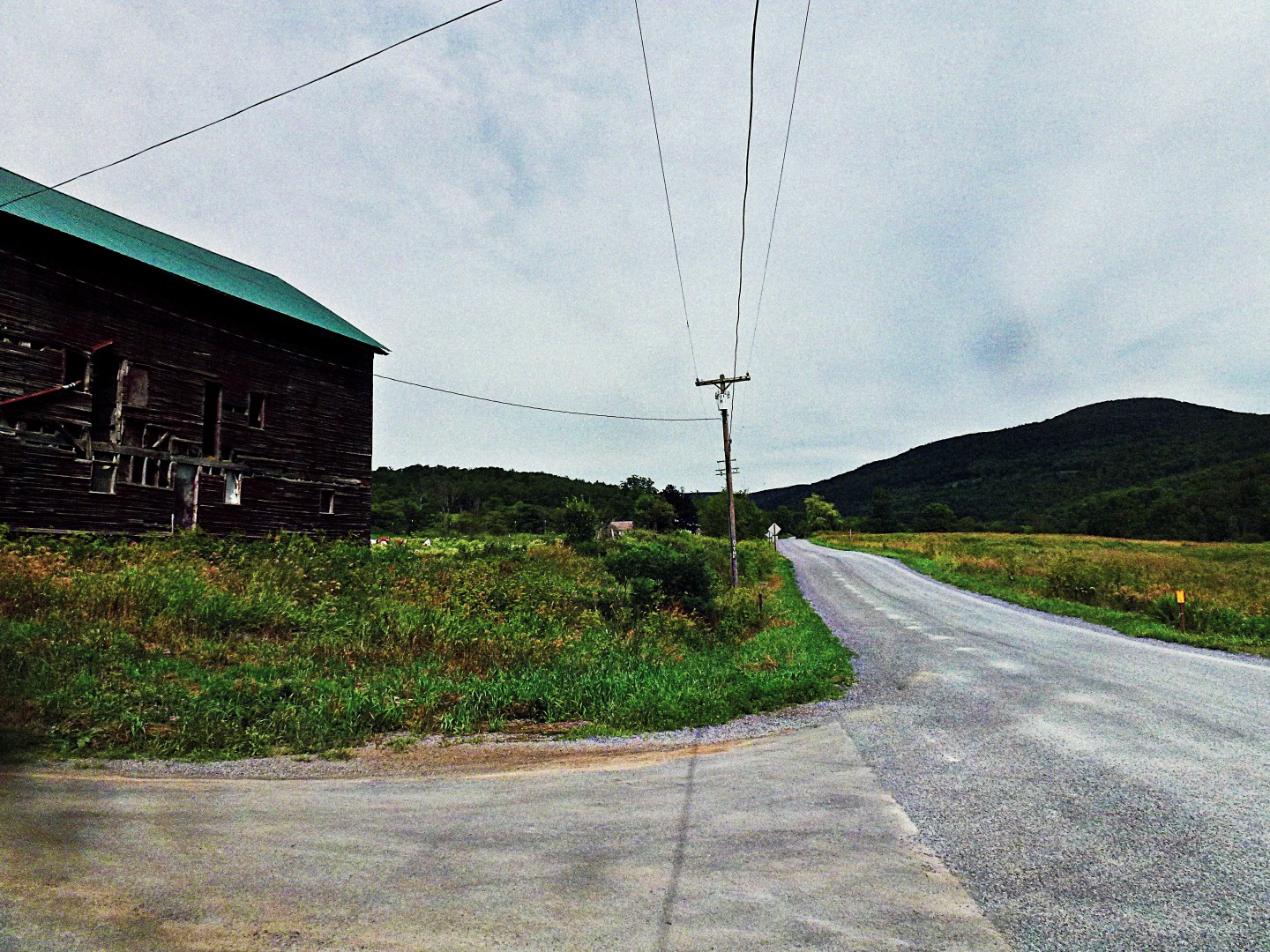
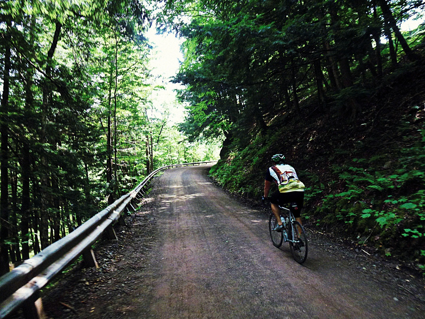
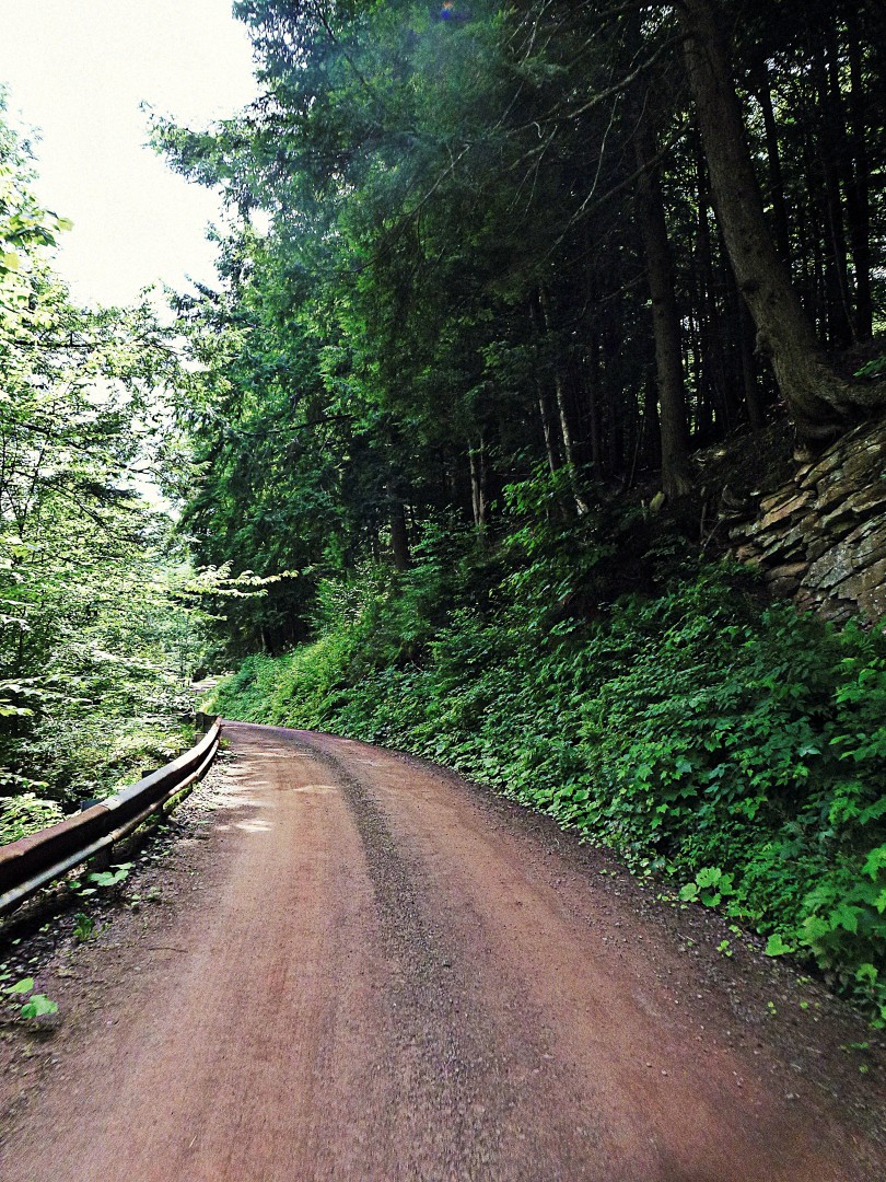
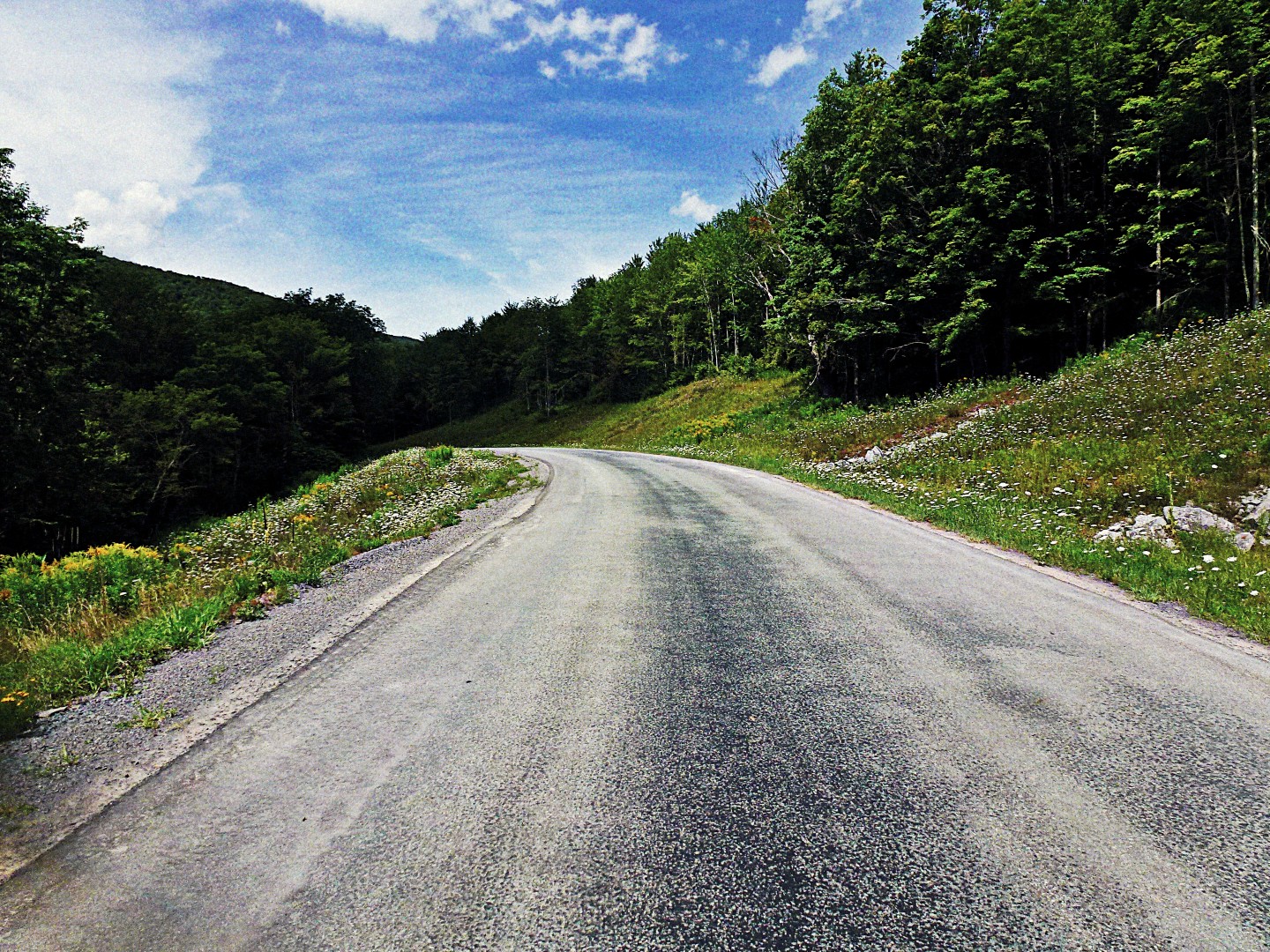
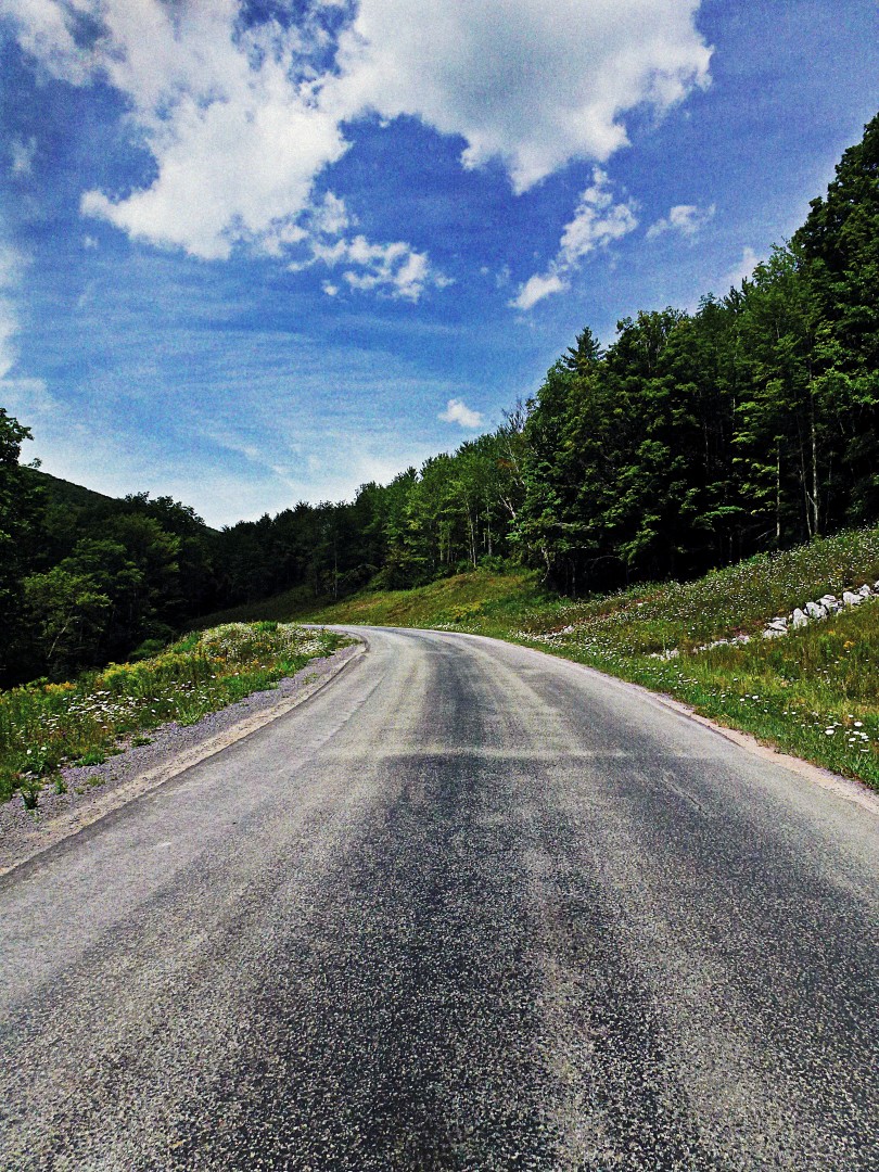
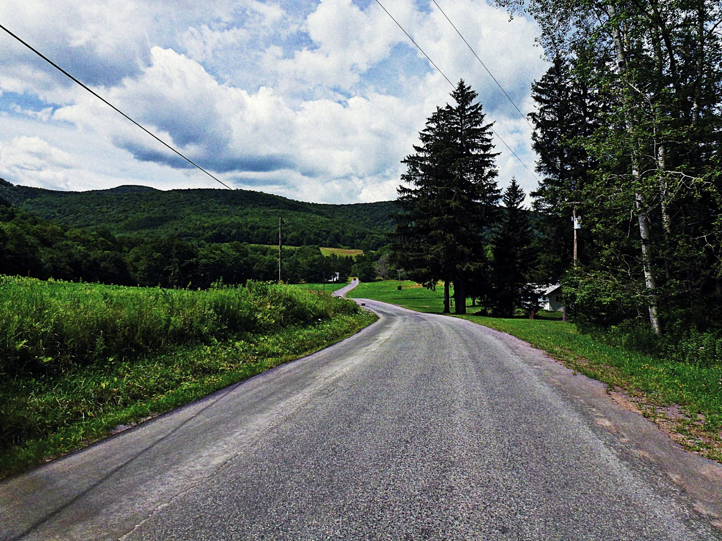
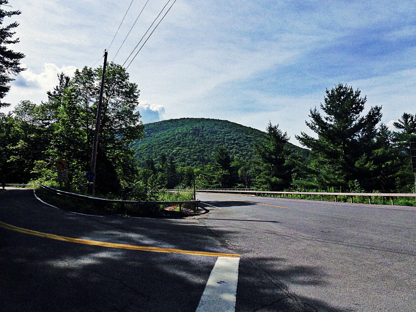
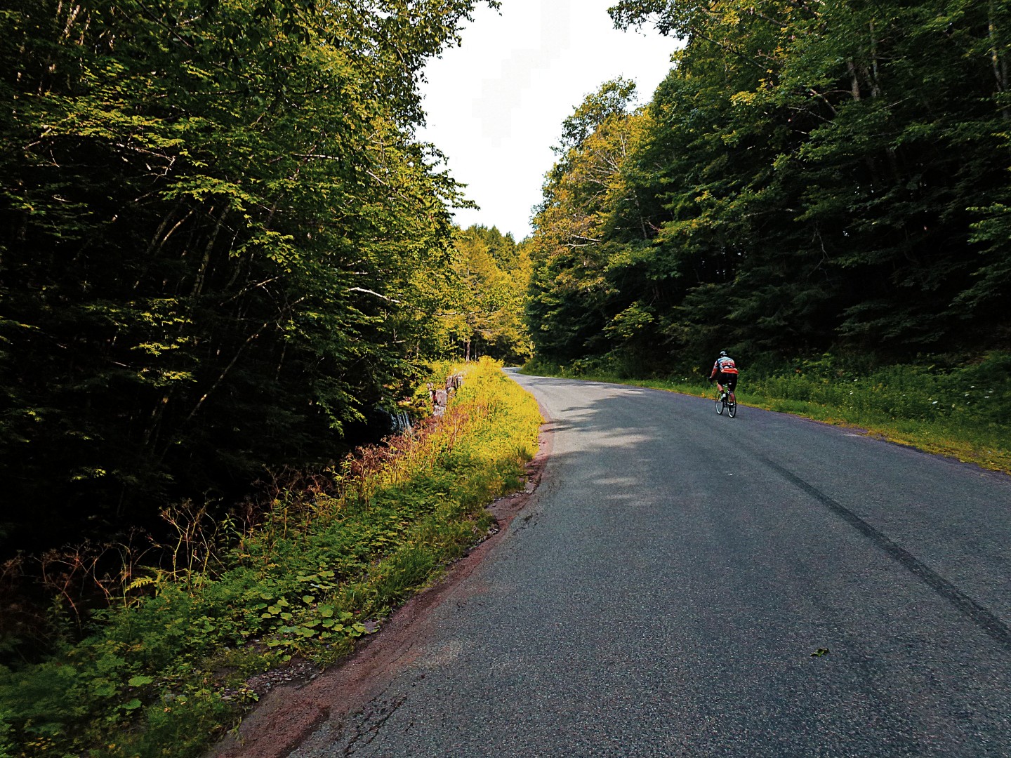
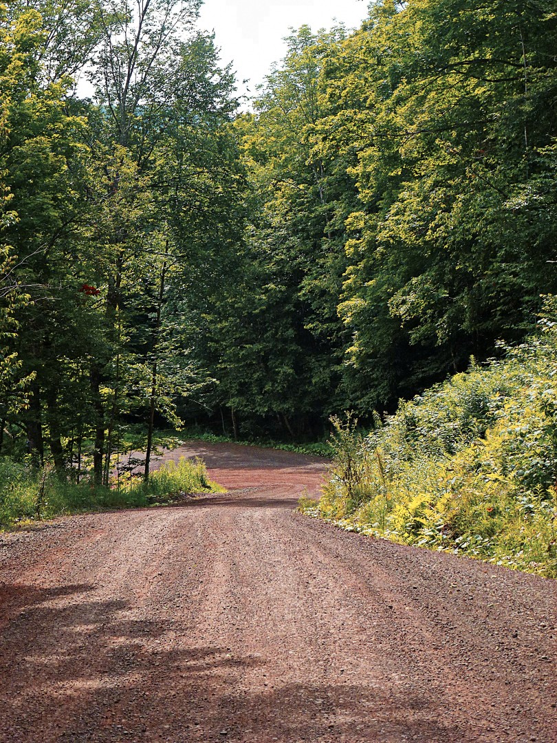
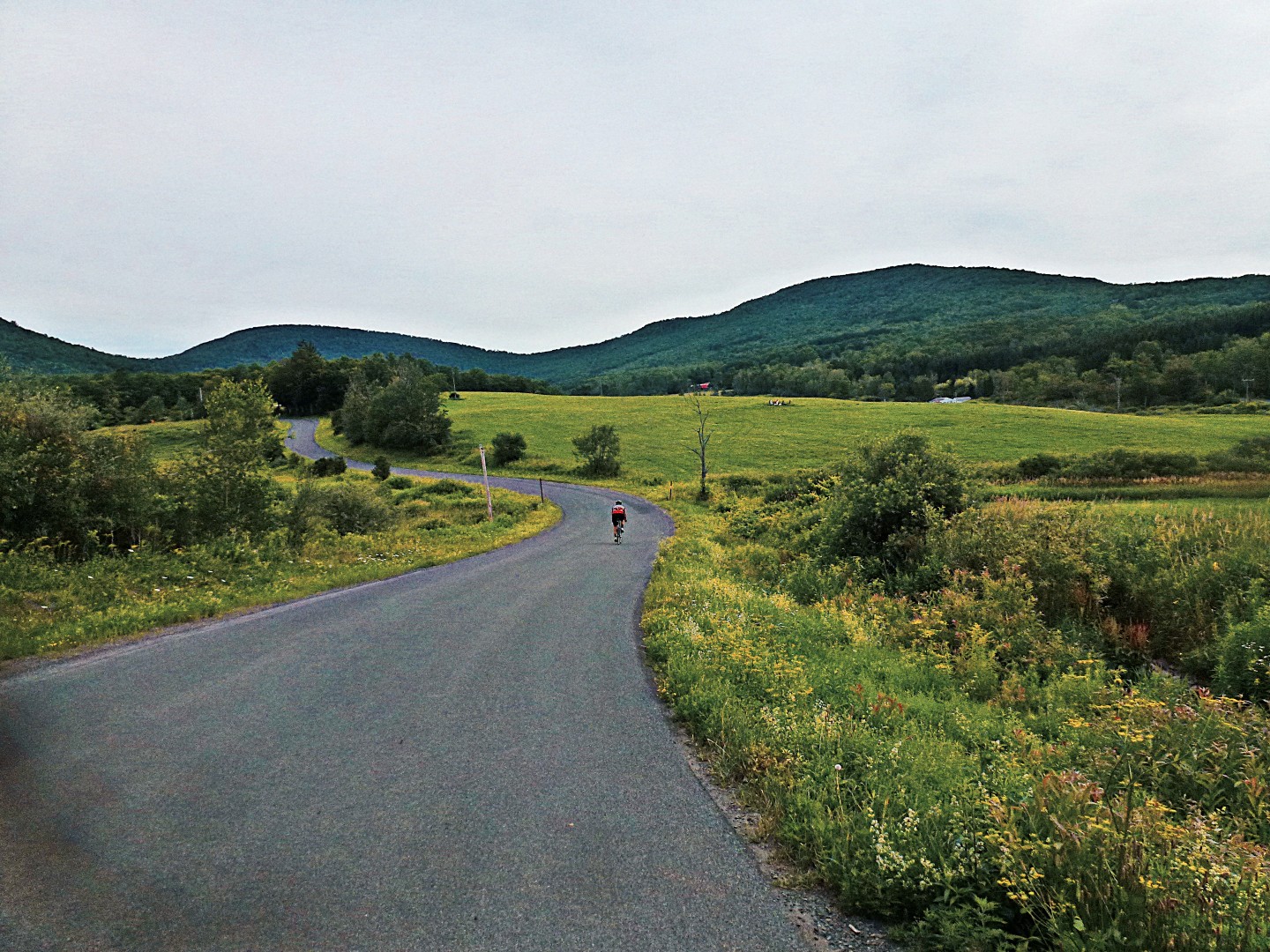
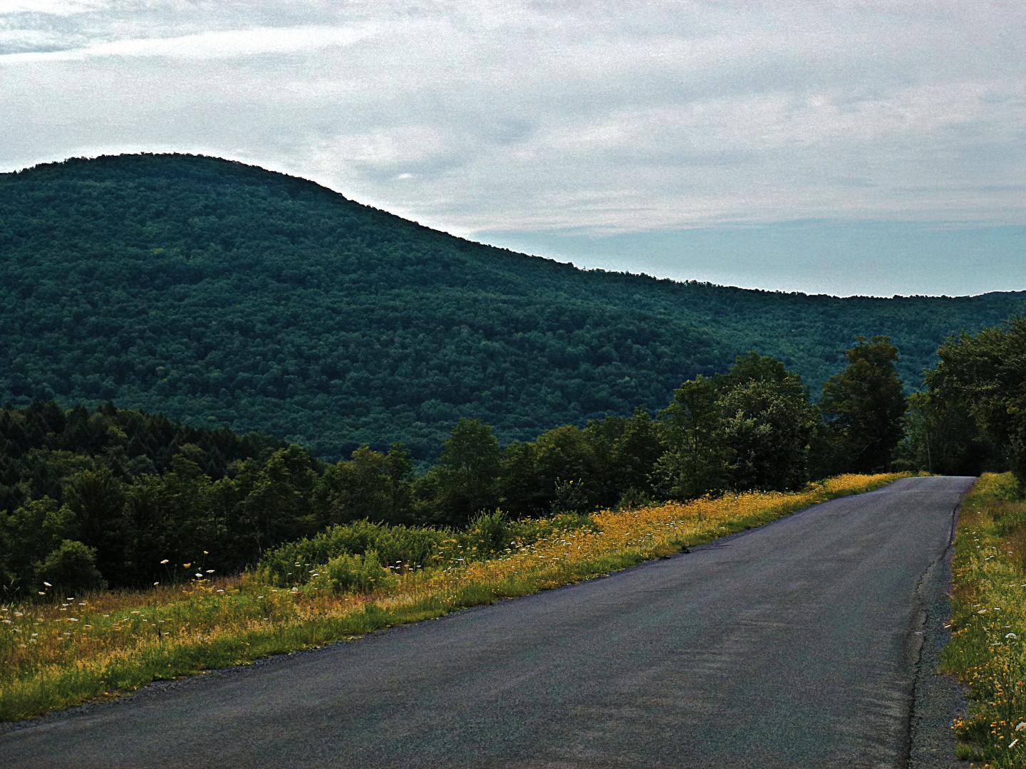
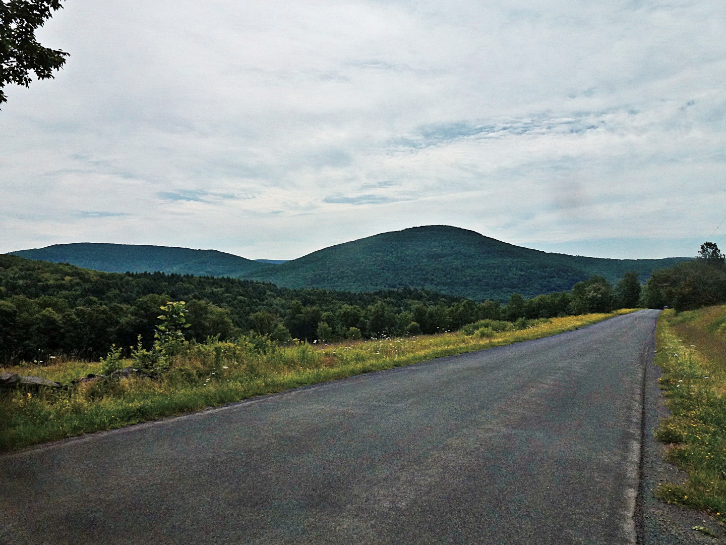
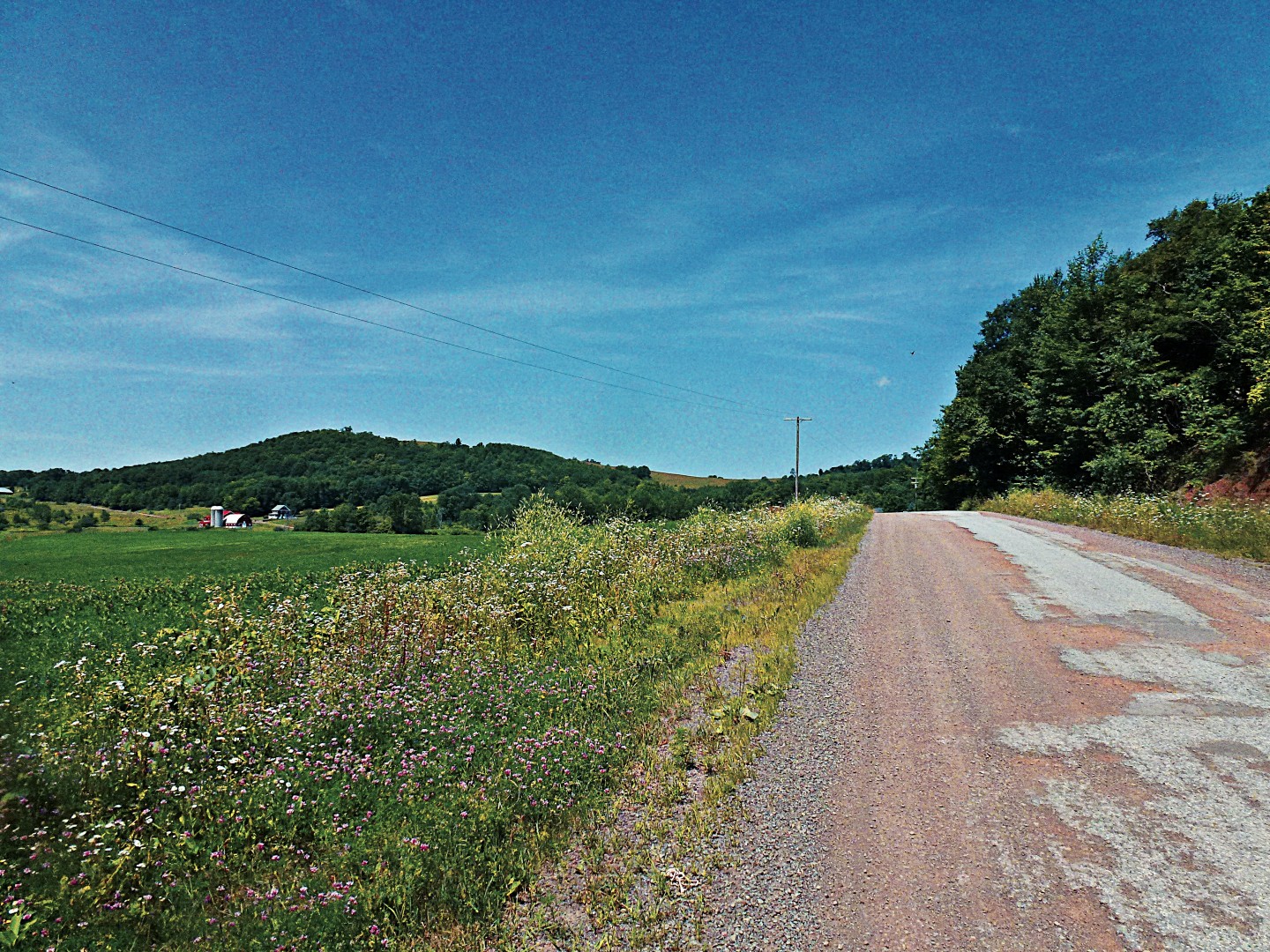
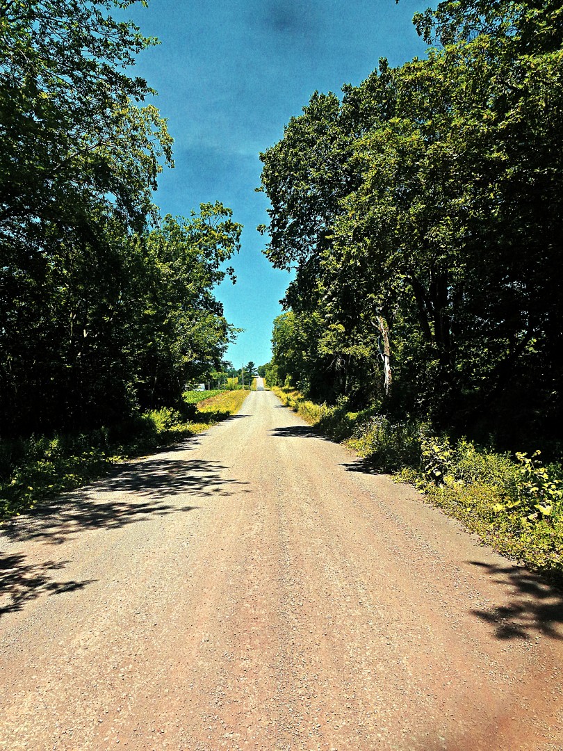
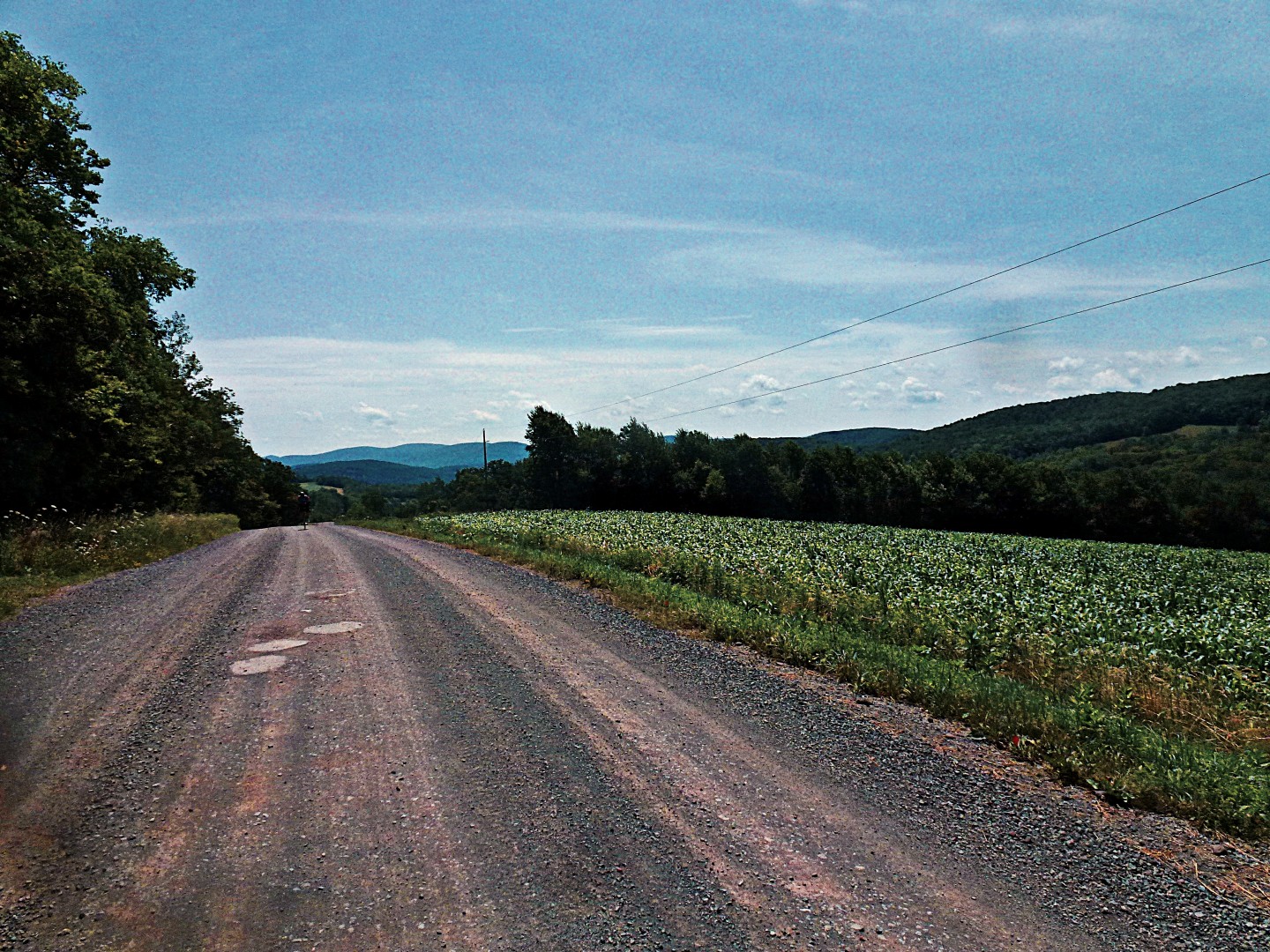
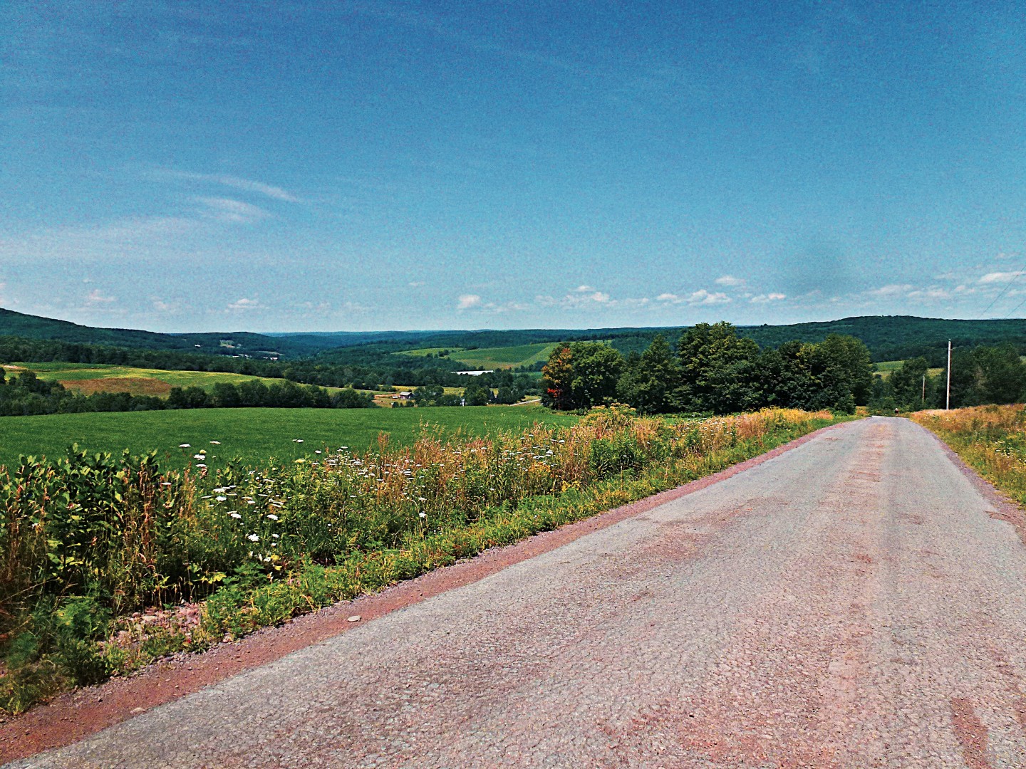
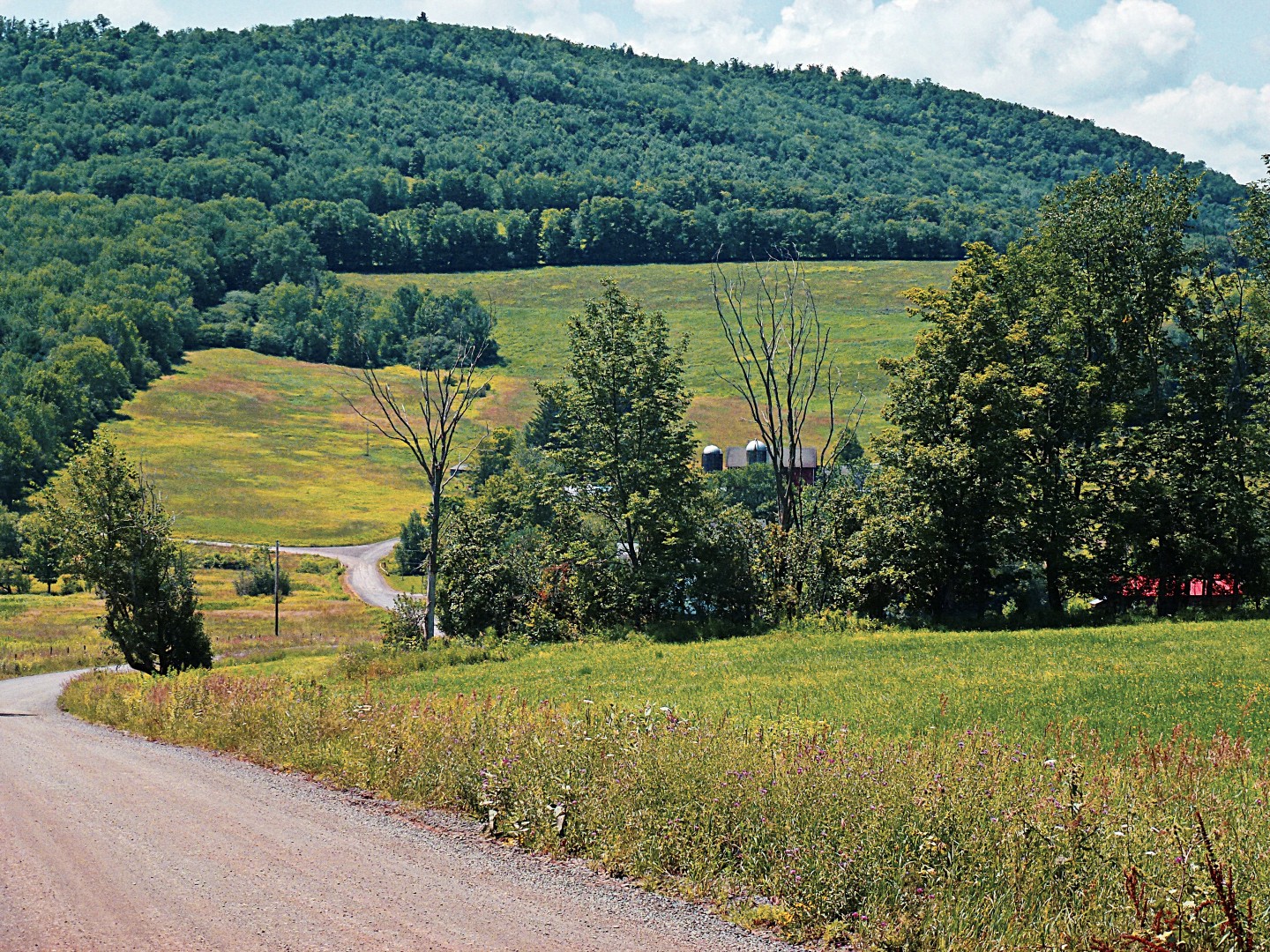
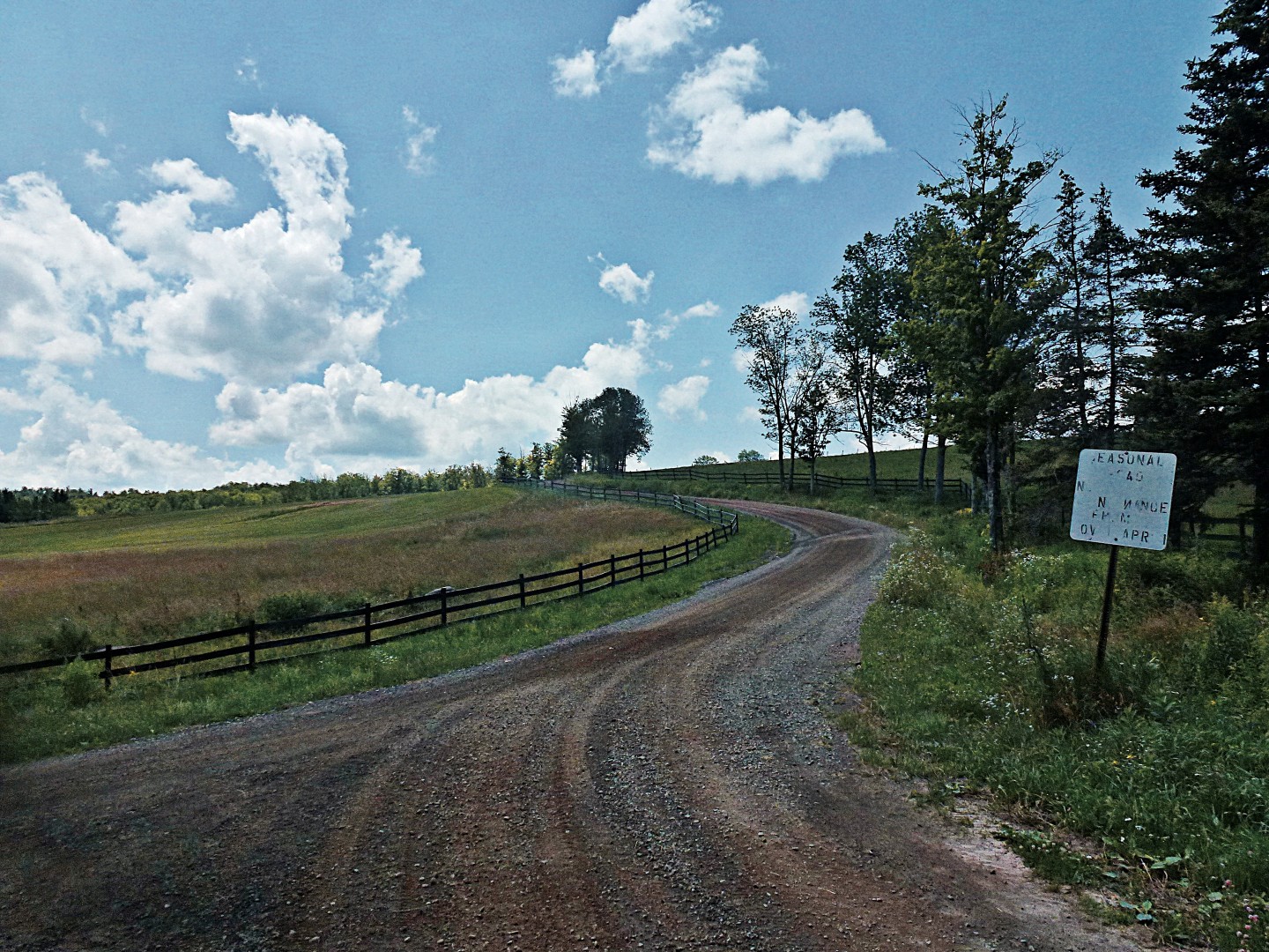
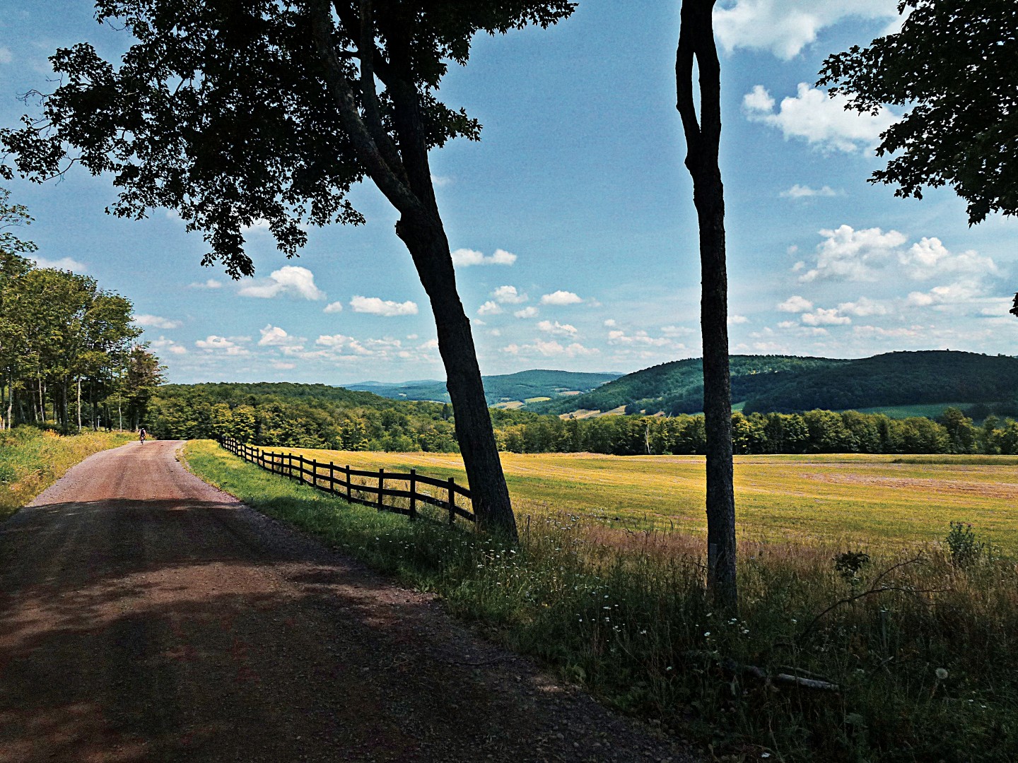
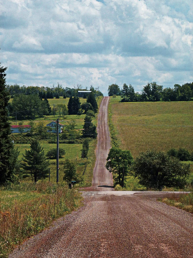
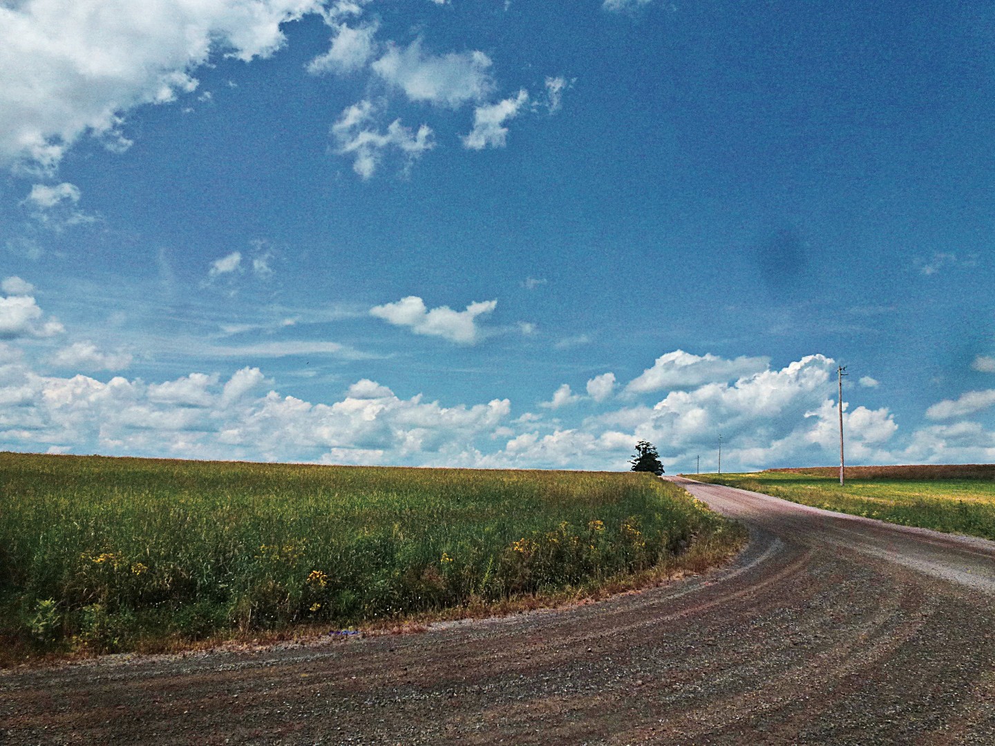
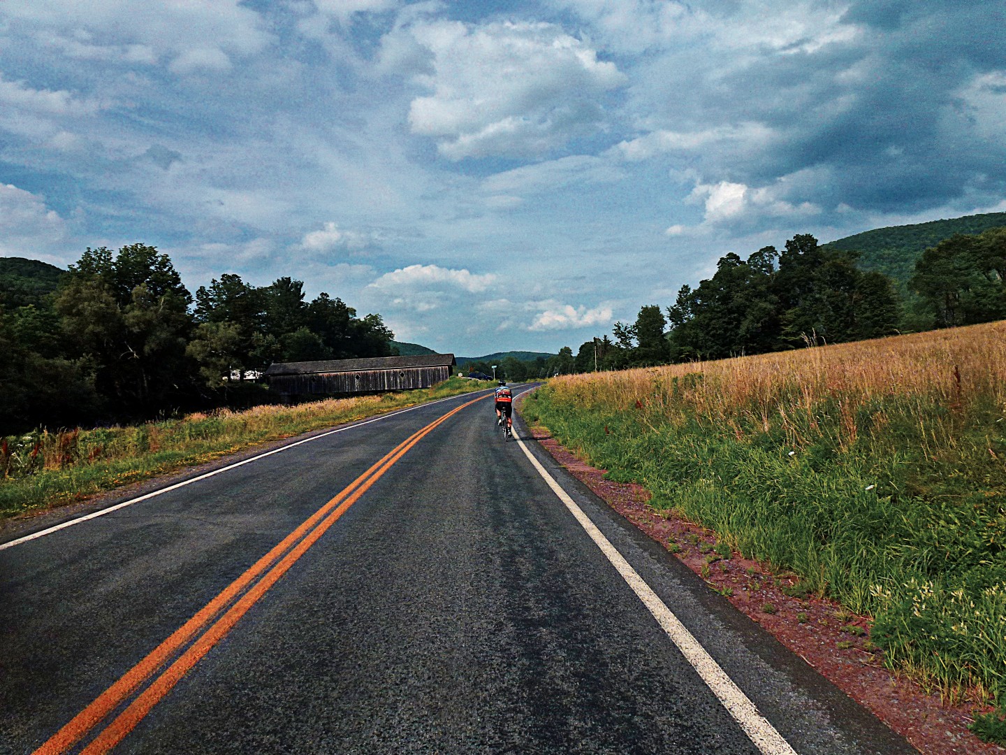
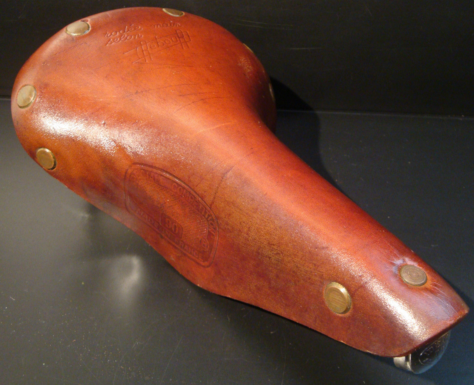
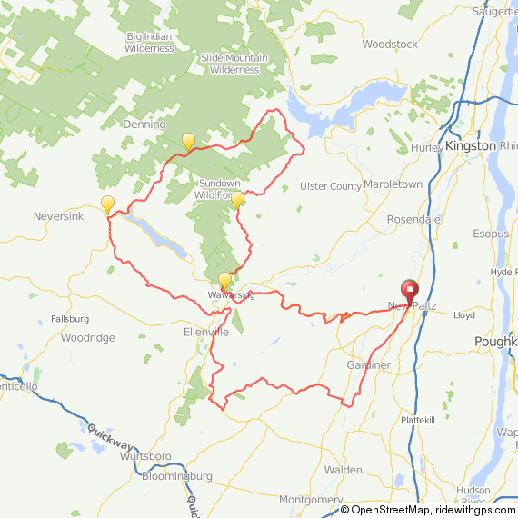
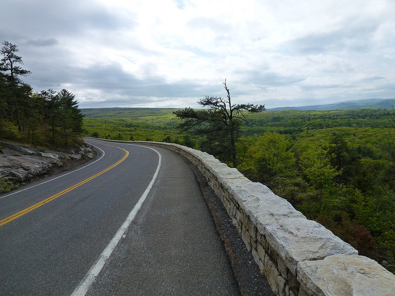
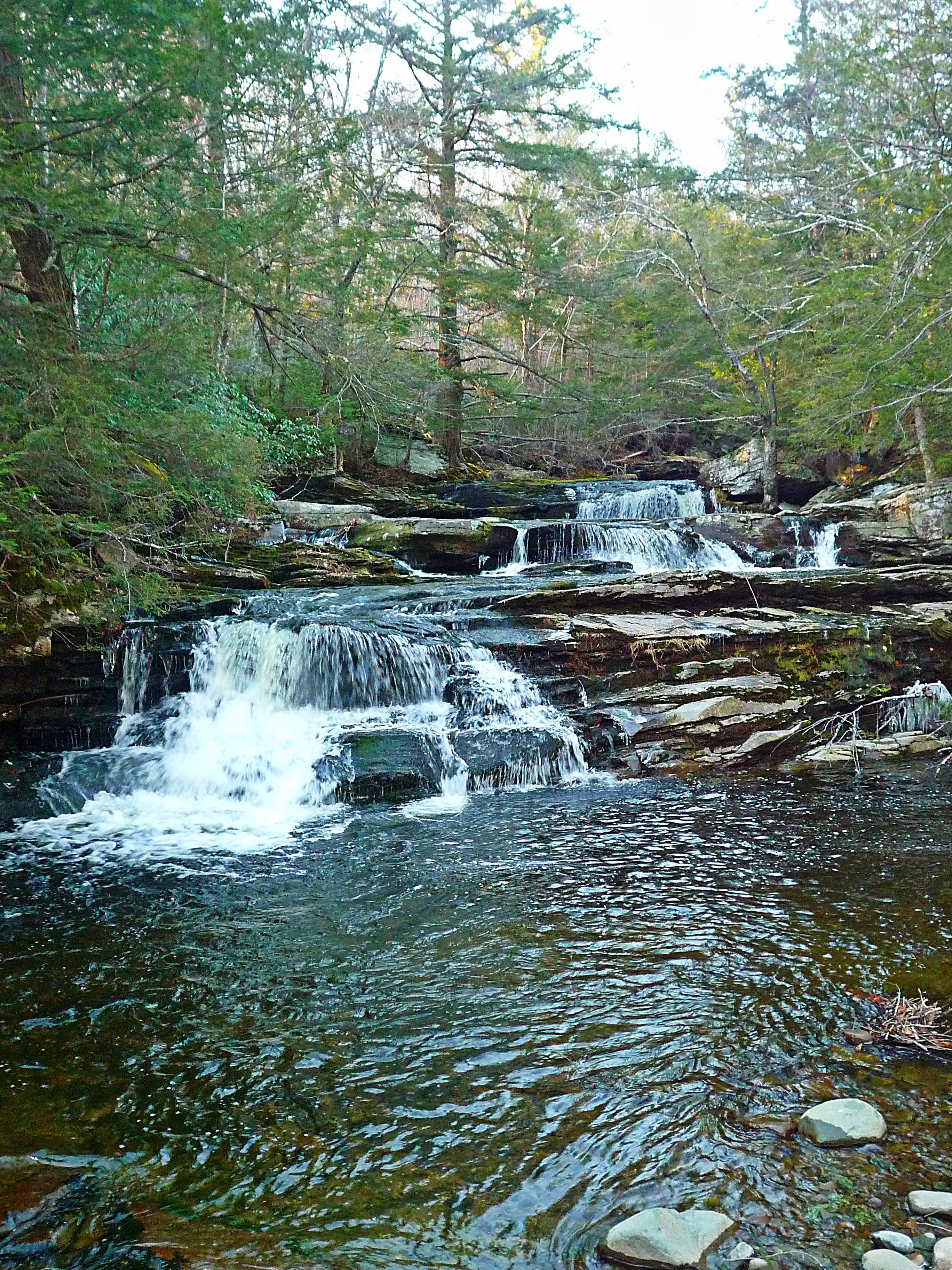
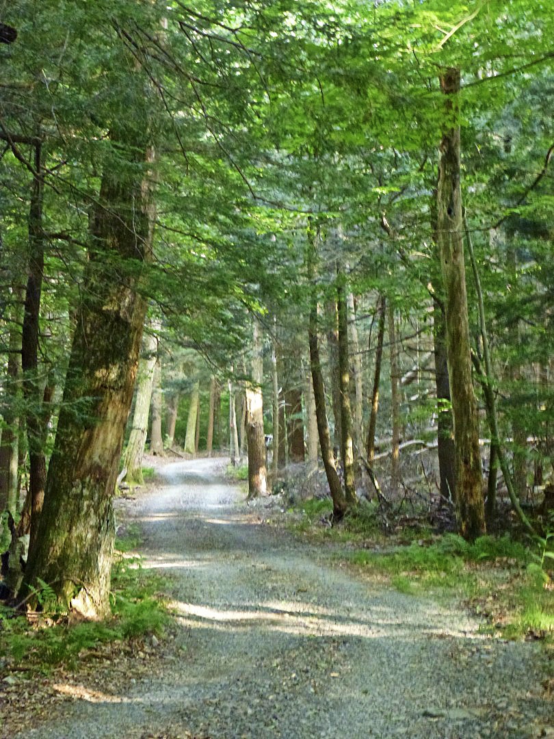
A bright spot, though, was the delivery of my English 650B bike in June. Since June 20th, I’ve put 1375 miles on the bike, and it has revolutionized my back-road riding experience. It handles precisely like a road bike, it is much more comfortable on the rough stuff and no slower on the flats. An unexpected bonus has been being able to descend more quickly. Instead of panic braking and hopping over obstacles—and slowing down because that shadow on the road might be hiding a pothole, I just sail over everything.

Have doubts? Just try a 650B bike, if you can. The only thing that might be difficult is that most are built as vintage reenactment machines, so if you’re used to a modern road bike, it’s a different experience. (I want to note that there’s absolutely nothing wrong with vintage reenactment bikes—I have a few myself and love them. But I realize they’re not for everyone, or even the majority of riders).

Anyway…this wasn’t supposed to be about my English. Instead, I’d like to tell you about my experience with TRP Spyre brakes. Keep in mind that this is an honest, unbiased review–I’m not paid for posts, nor do I reprocess press releases like so many other bike blogs do.

Spyres

I’ve always been of the opinion that disc brakes confer no benefits on a road bike. As many have argued before, the rim of a wheel represents the largest possible rotor, and thus offers great braking performance. I support that position: there is no rational need for disc brakes on a road bike. At least not mechanical disc brakes.

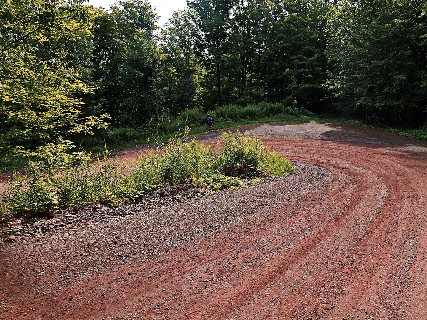
However: If you’re riding a nontraditional road bike—say something with fat tires, like my 650B, or even a cross bike with 32s or 35s, disc brakes are a handy solution. The long-reach brakes that are available now are heavy and not very high quality. Thus, disc brakes represent a reasonable option.

My previous experience with disc brakes was with mechanical Avid BB7s on my winter cross bike, a Lynskey Procross. Awful. Truly awful. They went out of adjustment every other ride, they shuddered and shook, and squealed like crazy when they got even a little bit wet. I guess if you’re a professional mechanic they would be okay, but I don’t have the time or skills to adjust my brakes every few days. Like many other mechanical tasks on a bicycle, I can adjust the brakes to perfection, it just takes me forever. I’d rather be riding my bike, y’know?

Enter the TRP Spyres. After some initial frustration getting them set up right—I like my brakes relatively “stiff”—they have performed admirably. They are simple to adjust, and they do not squeal even when wet. They offer at least equivalent braking performance to BB7s; in fact, on average they offer better braking performance because they don’t require continuous readjustment. Keep in mind that this is from the perspective of someone who flies down mountains almost daily, often in inclement weather (a blessing and a curse, because I also have to climb up those mountains!)

One word of advice: Toss the rotors they come with, or at least hold them in reserve for an emergency, and buy some Shimano Ice Tech rotors. The braking performance is improved considerably and there is little to no squeal. With the Ice Tech rotors, the braking performance is, dare I say it, even better than well-adjusted rim brakes. Again, I’m riding in extreme conditions, the stock rotors may very well be okay for regular use.

The best part? The only adjustments they require is an occasional tweak to make up for pad wear. A matter of a few seconds.

The “power curve” for these brakes is different from rim brakes. I’ve now had a chance to ride this bike, with the Spyres installed, in a paceline with people using conventional rim brakes. I’m happy to say that the modulation is good enough for the occasional feather touch when soft-pedaling or sitting up won’t do. Don’t run out and ride in a fast paceline the day you install the brakes, though.

So…have TRP Spyres made me change my mind about disc brakes on a road bike? No, not really. If you’re buying a new conventional road bike, you don’t need them and, even though the Spyres are low maintenance and perform well, they are still more trouble than a rim brake for not a lot of additional benefit.

If you’re buying a cross bike or any other type of bike that may not fit regular road brakes without going to long-reach calipers, they are an acceptable alternative. If you insist on ordering a bike with mechanical disc brakes, insist on Spyres. OEMs would be crazy to specify BB7s instead of Spyres–they are that much better!

I’ve purchased a set of the HY/RD hybrid hydraulic brakes for my winter bike to replace the god-awful BB7s. I’ll report on those later in the year.

BB&

John

medicalwriter.net

Four-County Ramble, Courtesty of Henry

I apologize for not posting more frequently over the past few weeks. Truth is, work has been draining all signs of life from me, and it shows no sign of letting up any time soon. That said, I’ve still been able to get in 100 to 150 miles every week, although they have not generally been quality miles.

However…

We did manage to get out for a 104-mile adventure out of Woodstock. My companions: Doug and Henry. The initial plan was to do the flattest possible 200k, starting from Doug’s place in Woodstock and riding far into Dutchess county, which–believe it or not–is much flatter than Ulster, Greene, Delaware, or even Sullivan. But as I was putting my front wheel back on, Henry asked if we’d like to take a “real” ride, which around here means climbin’ mountains.

With some trepidation, I agreed. The trepidation was because I had absolutely no idea what was coming up; thus, I had no idea how to pace myself, how long the ride would be, or whether I’d be home in time to do some work. It all worked out fine, in the end.

I don’t have a lot of energy to write, so let’s make this post more about pictures than words, shall we? Here’s the route.

Route

Simple. Start in Woodstock, ride up 28, and then head for the hills. And there were some good hills! The two best climbs on this route are Vega Mountain Road and Dimmick Mountain Road, the later of which is a pretty decent climb, even for out here in the Catskills. It isn’t long, but it is steep.

So, some pictures and I’ll leave it at that. I’d suggest clicking on some of these for full size, some are quite lovely.

L1020830_pe_DxOFP

L1020823_pe_DxOFP

L1020822_pe_DxOFP

L1020821_pe_DxOFP

L1020818_pe_DxOFP L1020817_pe_DxOFP  L1020814_pe_DxOFP

L1020813_pe_DxOFP

L1020812_pe_DxOFP

This, in case you are wondering, is Cross-Mountain Road in Delaware County. Magical dirt road.

L1020806_pe_DxOFP

L1020803_pe_DxOFP

L1020800_pe_DxOFP

L1020799_pe_DxOFP_pe

L1020798_pe_DxOFP

L1020796_pe_DxOFP

L1020795_pe_DxOFP

L1020793_pe_DxOFP

Henry was the only one brave enough to cross this bridge. The boards on the bridge deck were actually popping out. I’m surprised that the county doesn’t either repair it or block it off.

L1020791_pe_DxOFP

Some cross-country action.

L1020784_pe_DxOFP

L1020783_pe_DxOFP    L1020774_pe_DxOFP

And finally, a baby goat. I don’t think nature has made a cuter creature. It might even be cuter than a puppy.

L1020829_pe_DxOFP

L1020827_pe_DxOFP

And that’s all for now. Off to California, and then Holland. I thought, when I moved out here to the Catskills, that I’d maybe work a little less, enjoy life a little more. As it’s turned out…well, let’s just say I’m burning the candle at both ends!

John

medicalwriter.net

New Route: Delaware 85

Do you like climbing? Do you like gravel? Do you have no sense of self-preservation? If you answered yes to all 3 questions, you’ll enjoy this route. Deliberately designed to be the toughest sub-century in the Catskills, it is 85 miles, has about 9000 feet of climbing, and covers at least 30-40 miles of some of the most isolated gravel roads you can find out here. It is, at least thus far, my masterpiece. If you can an excuse to get up to Delaware County, do it now and ride this route. It’s not just worth the trip, it’s worth a pilgrimage.

That said, I’m *really* tired, so this story won’t do justice to the route. In a few days, however, I’ll try to come back and add what will, doubtlessly, be highly amusing anecdotes and antics of grown men on bicycles. Just enjoy the photos for now; in fact, I’d suggest that you click on them to see them full size. My camera, which I’ve been riding with for 3 years now, is dying in a most appealing way–some of the images are quite beautiful.

Also, please keep in mind that I very well may be misplacing the pictures. I don’t keep a diary of where I’m taking shots while I’m riding; in fact, my photos usually involve me trying to ride one- or no-handed over potholes, while randomly clicking because it’s too bright to see the LCD on the back. So take these pictures as a general overview of the route rather than specific views you’ll see at certain points.

I was inspired to create the route by Anton’s magnificent posts on his rides in Delaware County, which can be found here and here. Unfortunately, I never got the chance to go up to his place and ride.

This is the actual route.

Map

We had planned on doing it in the reverse direction from what is shown here, but, because the start and end points were the same, there was no indication on our Garmins whether we should go in a clockwise or counterclockwise direction, and I had failed to look at a map closely before leaving. So, we ended up doing the entire route backwards. In retrospect, this might have been a good decision, because the descent in town at the end of the ride, as we did it, would be absolutely murderous to start out with.

Here’s the elevation profile.

ele_profile

If you have time to inspect the route further on Ride With GPS, you’ll see that all of those climbs have significant 12% to 18% sections. Many of them on dirt. Each of the 9 major climbs on this route could be a highlight for any ride—like the Peekamoose or Slide Mountain climbs. I just decided it would be a good idea to have 9 highlights.

It starts in Margaretville, which I’ll probably misspell in half a dozen ways throughout this post. There is a convenient parking lot right across from the grocery store where you can leave your car all day at no charge (at least we did without issues).

You head out of town on the appropriately named Cemetery Road—a 700-foot climb, but nothing terrible or unmanageable. After a few moments on Route 30, you’ll take a left on West Hubbel Hill Rd. I tried to include every road with the name “Hill” or “Mountain” in them on this route, but I did manage to miss a few. This is the first major climb of the route. It’s about 1100 feet, with significant sections of up to 16%. At least it’s paved!

L1020689_pe_DxOFP_pe

The view from the top of Hubbel Hill Road is great, but there are better views to be had in just a few miles.

L1020691_pe_DxOFP

L1020690_pe_DxOFP

L1020697_pe_DxOFP

Continuing on, Roxbury Mountain Road offers the first gravel segment of the route. As you’ll see, the gravel here ranges from pale pink to a quite bright red. I did some 30-mph fishtailing on this road, which reminded me to be cautious.

L1020701_pe_DxOFP

L1020698_pe_DxOFP

You’ll continue into South Kortright. Unfortunately, South Kortright has no amenties, eg, no place to buy stuff. This turned into a major problem, as the first place we hit to buy liquids and food was just past mile 40–under normal conditions, not a big problem, but keep in mind that by mile 40 we already had 4500 feet of climbing under out belts. So word of warning: bring lots of water or do this route in cooler weather. A few more images of the paved portion of this segment:

L1020724_pe_DxOFP

L1020723_pe_DxOFP

L1020719_pe_DxOFP_pe

L1020717_pe_DxOFP_pe

L1020716_pe_DxOFP

After a moment on a “major” road–Doonan’s Corners Rd, we turned off onto Turnpike Road. More gravel!

L1020729_pe_DxOFP

L1020731_pe_DxOFP_pe

L1020732_pe_DxOFP

L1020739_pe_DxOFP

Which ended on a nice big descent. Note that there is significant washboard at the end of this descent. I was riding 650B at 45 psi and I almost lost a filling.

L1020746_pe_DxOFP

I believe this is Houghtailing Hollow Rd, around mile 39. When a road says it’s seasonal, you know something good (or very, very bad) is coming up. As it turns out, it was beautiful but nothing painful. However, the climb leading up to this road is a brute, I believe 18%+ on gravel. I’m never sure on those types of climbs whether it is better to keep the weight on the rear wheel, risking a wheelie but maintaining traction, or to slide a little more forward. It can be a delicate balance.

L1020750_pe_DxOFP

L1020751_pe_DxOFP

And another massive climb. You know you’ve reached the top of something when you see the radio tower (it might be a cellular tower, who knows?). My camera lens is getting messed up enough after 3 years of riding with it that my photos are starting to look pre-instagrammed. I’ve tried cleaning the lens with a lens pen, but it’s not helping.

L1020758_pe_DxOFP

L1020754_pe_DxOFP

L1020756_pe_DxOFP_pe

L1020755_pe_DxOFP_pe

Around mile 48, you’ll ride into the tiny town of Treadwell. It’s a lovely little town, made even more lovely by an *open* general store with that sells Gatoraide and all of the other essentials. Note that they are only open until 3 pm on Sundays; I believe they are open until 6 every other day. Make sure you arrive before closing, otherwise you have a long haul to Delhi to refuel. Delhi has at least a McDonald’s and a Pizza Hut that are open reasonable hours, there may be more appetizing options in the village with less predictable hours.

The toughest part of this ride is the 3 “bumps”, beginning at about mile 65, when you’re already exhausted. The first is terrible, the second–on New Kingston Rd–is truly brutal. The third, Margaretville Mountain Rd, isn’t terrible, but at this point, if you’ve put any effort at all into the ride, you’re probably hurting! Some images from the last 20 miles:

L1020771_pe_DxOFP

L1020770_pe_DxOFP

Now…time for bed. This ride really exhausted me…in part, that’s my own fault because–at least for the first 70 miles–I did a lot of sprinting up to the top of hills ahead of my companion so I’d have time to take pictures! This route represents my finest achievement to date on Ride With GPS. If you can make any excuse to get out to Margaretville, try this, you won’t regret it. Unless, of course, you’re opposed to fun.

And a few more photos. Even though the placement of the photos above is vague at best, I really have no idea where I took these. But I like them, so here they are:

L1020707_pe_DxOFP

L1020706_pe_DxOFP

And let’s not forget the covered bridge in Delhi…

L1020763_pe_DxOFP

John

medicalwriter.net

Random Stuff

  • For some reason, I’ve been on a Joy Division kick. I hold many hours of teenage listening to Joy Division responsible for my early mid-life hearing loss. Atrocity Exhibition remains one of my favorite songs to blast at high volume. I just made this my desktop, you can save it and make it your desktop too, if you like.

Unknown-Pleasures-joy-division-12623677-1600-1200

  • Off for a tough ride tomorrow with the usual suspects. It’s only ~90 miles, but it has 9000 feet of climbing, most of it on gravel. Report coming early next week, provided I survive, of course.
  • Speaking of tough rides, I’ve gotten a few comments from people who have ridden my routes that I tend to underestimate the difficulty, both of the route as a whole and specific climbs. I’m sorry about that. If you’re coming out here from the flatlands around NYC, here is a brief guide to interpreting my comments: 1) If I say a ride or a climb is moderately difficult, it’ll be tough but you’ll make it. 2) If I say it is hard, you’ll barely survive. 3) If I wax lyrical about the difficulty, you might want to proactively call an ambulance. This is not bragging; in fact, I don’t claim to be anything more than an average rider. But after 10 months of riding out here, I’ve been immunized against hills and mountains and 15% grades on gravel.
  • Did I mention I’m getting a Weigle? I’m trying to get Peter to paint it pink, but I think that’s probably a nonstarter. Just bought the saddle.

$(KGrHqJHJCoFCrTfL!eiBQte-zqTmQ~~60_57

And yes, it will be used just like my other bikes—sun, rain, hail, dirt, snow. Maybe not with this saddle, though. A Weigle, by all accounts, is an art object, but it’s one meant to be used. Plus I like bikes, and just things in general, after they’ve gotten a little use. It will have semi-modern components–alloy Record 9-speed, clipless pedals, Herse crank and rings. Oh, and it will be a 700C bike.

Now I want a fatbike for the winter. Preferably one like this, but with XX1, or maybe even a Rohloff:

John

medicalwriter.net

Hillbillies

Remember my backwoods adventure from earlier this week? A local friend, who chooses not to be named, saw the post and sent me an e-mail:

There is a rideable connection, but it is legendarily unsafe.  I know of two people who have done this, one from the top and one from the bottom, and both say they would not do it again. I believe you were heading the correct way.

The reason this trail is said to be unsafe is that there is a backwoods community close to the end of the road.  I’ve heard firsthand from two sources that this is an especially scary and unwelcoming area, a scrap of forgotten and paranoid inbred mountain folk straight out of Deliverance.  One cyclist was supposedly chased by a rake-wielding hillbilly in camouflage coveralls, and both say they would not go through there again for fear of being chased and caught.

Probably the legend has grown in the retelling, but caveat cyclist.  Especially caveat transplanted city cyclist on custom bike with designer bibs and fancy camera.

I turned around maybe half a mile from the connection because a major thunderstorm was brewing and I was on the top of a mountain, but yeah it was pretty creepy up there. I don’t know if I would have gone any further even if it was nice out. If I ever dare to ride this, I’d do it from the opposite direction so that I’m going downhill. Getting chased by a “rake-wielding hillbilly” up a 15% gravel grade does not sound like fun.

PS: I removed the names of the roads from this post so that it isn’t directly searchable. Even hillbillies have internet these days, and I don’t want to piss ’em off!

John

Tour de Swimming Hole

Long day at work. I’ve been at it since 8 am this morning, and now it’s 10 pm. Quittin’ time! I love my work, but sometimes it’s just too much. Most importantly, it’s already Wednesday and I’ve only gone 30 miles on my bike.

Since I can’t ride right now, I thought I’d put together a tour of the local swimming holes. I haven’t done this route, but I’ve been on all of these roads in one direction or another, and I’ve visited all these spots. Grab your long-distance bike, put on mountain bike pedals, and try it out!

TDSH

I started the route in New Paltz. Of course, getting to New Paltz from the Poughkeepsie train station is quick and easy…just go over the pedestrian bridge and follow the trail to route 299, and then pass through New Paltz. The road is busy, but it is very flat and fast, with a wide shoulder. It’s just to get you to the good part as quickly as possible.

From there, you’ll continue over the Shawangunk Ridge on Route 55. Again, a little bit busier road for this area, but pretty tame compared with 9W etc. Plus the traffic calms down almost completely after you get past the parking lots for Minnewaska Park.

55 Decent

You’ll then descend almost to Warwarsing, and cross 209, and then turn onto Lundy, where you’ll hit your first swimming hole.

Lundy Hole

From there, continue north on Rogue Harbor road, followed by Cherrytown Road. On Cherrytown Road, you’ll see a sign and a small parking lot. Stop and hide your bikes and hike one mile north (that’s the trail entrance opposite the parking lot) and you’ll hit the swimming hole on Vernooy Kill. I know hiking in the middle of a long-distance ride isn’t traditional, but it’s worth it for this:

L1040219_peNow, continue on to Peekamoose Road. Here, you’ll find one of America’s best swimming holes, at least according to Travel and Leisure magazine. It really is pretty impressive.

blue hole

Then you’ve got the long trip home. I’ve routed you past the reservoir and through Grahamsville, which has a nice place to stop for food…

SDIM0258_pe (Large)

…and then you’ll continue on, ultimately enjoying a big descent into Ellensville. Then it’s up and over the ridge again on the Hudson Valley’s longest climb! If possible, I’d recommend taking a day off and doing this on a weekday, that way you’ll have all the swimming holes to yourself. During the weekend, you may encounter a few (very few) people.

And hey, don’t forget to Win a Garmin!

Enjoy!

John

medicalwriter.net

Ride With GPS: Open Street Maps vs Google Maps

I just saw that the map in the post below actually shows the connection between Trails End Rd and Yeagerville Rd. After a quick conversation with Zack Ham from Ride With GPS, I found out why: Ride With GPS uses Google Maps for routing as a default. However, if you export a jpeg, it is based on Open Street Maps, which differs significantly from Google Maps. You can switch the default routing map in the upper-right-hand corner of the main Ride With GPS screen to RWGPS, which uses Open Street Maps.

Why is this valuable? In comparing Google Maps and Open Street Maps, it appears that the latter includes a lot of back roads that Google Maps does not include. For example, I just found a back road to near the very highest point in the Catskills that appears only in Open Street Maps. So if you’re looking for gravel or the road less traveled, make sure you explore your area using both map bases.

Now, I just have to find someone dumb enough to accompany me on a 3500-ft climb on loose gravel this weekend. Any takers? Think of the bragging rights: The highest bike-navigable point in the Catskills, at 3711 feet! It even has a 27.8% grade just to add to the good times.

And by the way, if you don’t want to pay the $100 or so for Garmin’s map, Ride With GPS now sells an SD card with Open Street Maps preloaded for $25. A good deal. Of course, you can buy an SD card and download the maps yourself, but it looks to me like more time and trouble than it is worth.

John

medicalwriter.net

My Dumbass Adventure

I’ve hypothesized for a while that I could get from my area, just south of the Catskills, over to Yeagerville Rd—and from there, to Peekamoose Rd, by taking a little road called Trails End (no apostrophe, thanks).

Trails Endl

On maps, Trails End Rd terminates unceremoniously a few miles from the terminus of Yeagerville Rd. Yet I knew that there was a gravel path that headed over the mountains that was unmarked on maps. I just didn’t know where it ended.

Today, I decided to find out. I won’t bore you with the 10-mile trip to and from, so let’s start at the base of Trails End Rd. I knew that I had a good-sized climb ahead of me, about 1000 feet in just a few miles. Mostly on gravel.

L1020670_pe

As expected, the road ends and gravel begins…

L1020671_pe

There’s nothing like 12% to 15% climbs on loose gravel. I had to get off my bike for a moment and walk about 100 feet, pursued by clouds of hungry mosquitos.

L1020672_pe

About a mile in, you have two choices: There’s a path that is apparently for hikers…

L1020676_pe

Which really doesn’t work well on a bike, even one with fat 650B tires. Too many large rocks. I suppose someone with really good cyclocross skills could navigate it, but that’s definitely not me.

L1020674_pe

However, if you turn around, as I eventually did, there’s a snowmobile trail leading up, up, up.

L1020677_pe

Which leads to some nice, but very loose, gravel roads.

L1020678_pe

L1020679_pe

L1020680_pe L1020681_pe L1020682_pe L1020683_pe

L1020684_pe

It was pretty clear as I reached the apex of the ride that I was actually going over a mountain. As I entered a brief clearing, I couldn’t see any peaks around me–an unusual occurrence. Thus, I made it to the very top of something, but I know not what.

Unfortunately, I did not make it to the end of the path today. A storm was closing in, and there was thunder and lightning off in the distance. I figured it wouldn’t be a good idea to be caught on top of a mountain in the middle of thunderstorm. So I very cautiously picked my way back down the road and returned home. Indeed, within about a mile of my place, the skies opened up!

In retrospect, this was fun, albeit extremely strenuous, but kind of dumb. I went out on a road that is not marked on any map, in an area that has no cell phone service, and climbed over a mountain on loose gravel with inclement weather threatening. I also decided to do it on the fly, so I didn’t inform anyone where I was going to be.

Some day, hopefully this year, I’ll find out what lies on the other end of this path. Preferably with a companion next time!

John

medicalwriter.net