
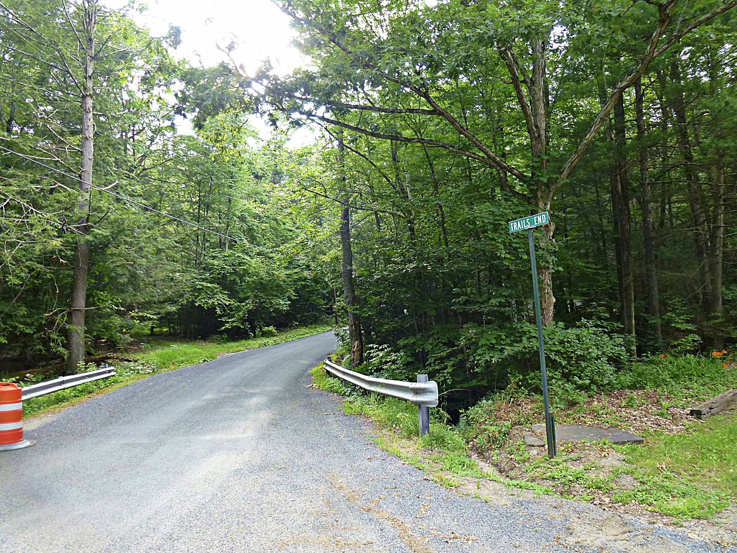
I’ve hypothesized for a while that I could get from my area, just south of the Catskills, over to Yeagerville Rd—and from there, to Peekamoose Rd, by taking a little road called Trails End (no apostrophe, thanks).

On maps, Trails End Rd terminates unceremoniously a few miles from the terminus of Yeagerville Rd. Yet I knew that there was a gravel path that headed over the mountains that was unmarked on maps. I just didn’t know where it ended.
Today, I decided to find out. I won’t bore you with the 10-mile trip to and from, so let’s start at the base of Trails End Rd. I knew that I had a good-sized climb ahead of me, about 1000 feet in just a few miles. Mostly on gravel.
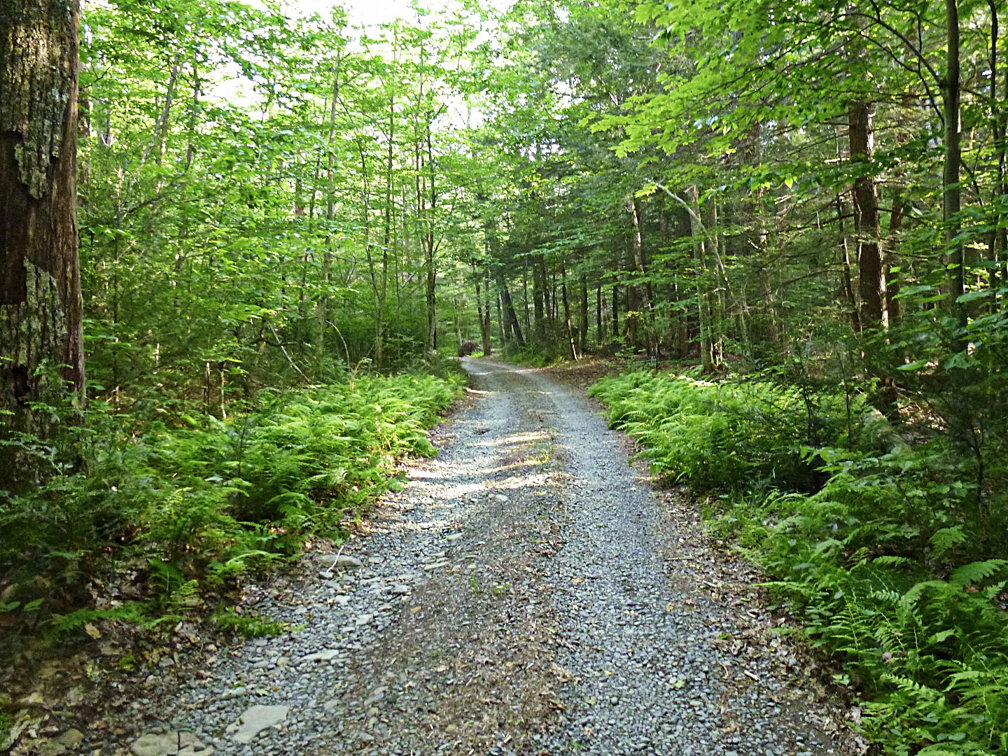
As expected, the road ends and gravel begins…

There’s nothing like 12% to 15% climbs on loose gravel. I had to get off my bike for a moment and walk about 100 feet, pursued by clouds of hungry mosquitos.

About a mile in, you have two choices: There’s a path that is apparently for hikers…

Which really doesn’t work well on a bike, even one with fat 650B tires. Too many large rocks. I suppose someone with really good cyclocross skills could navigate it, but that’s definitely not me.

However, if you turn around, as I eventually did, there’s a snowmobile trail leading up, up, up.

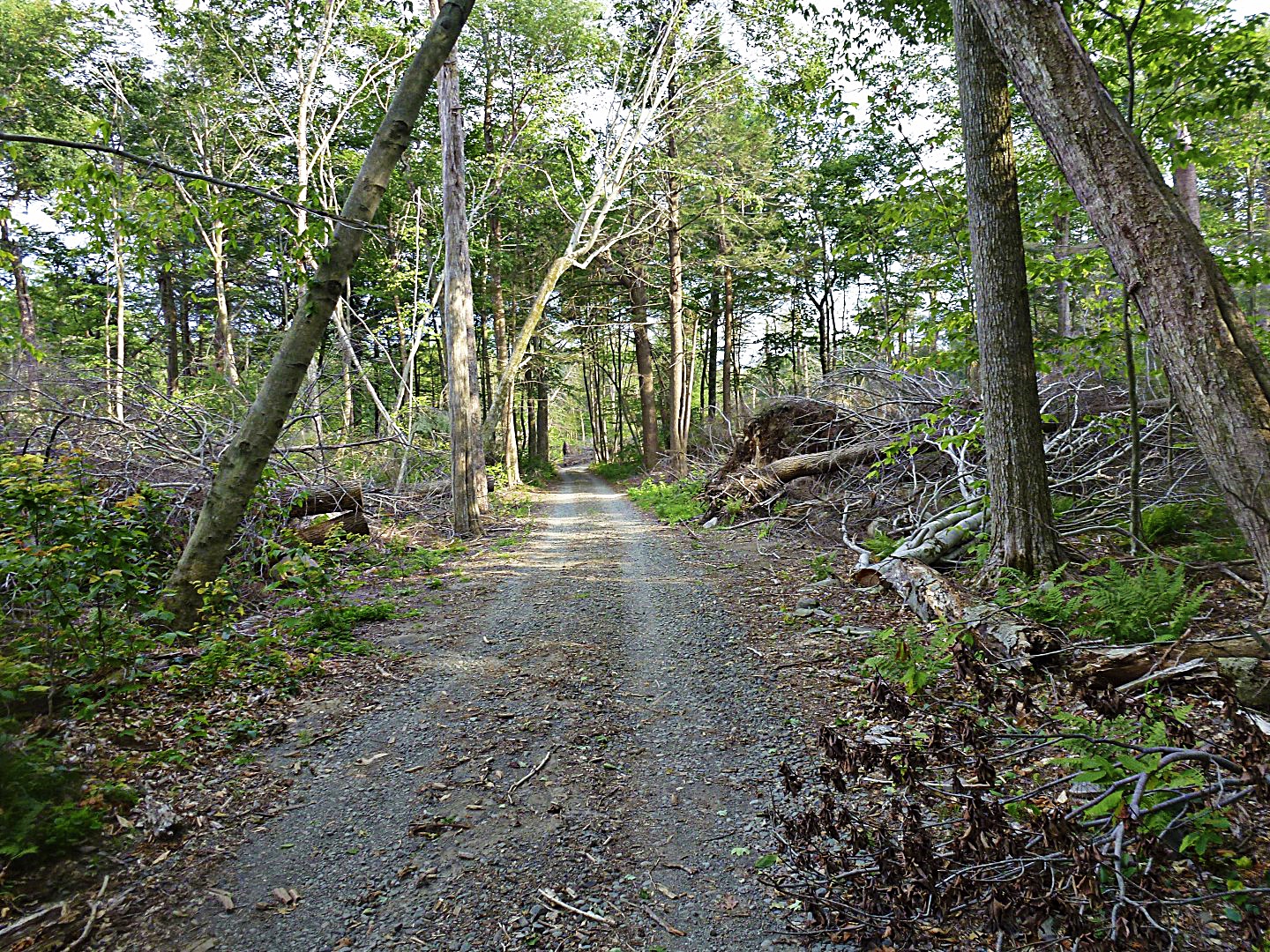
Which leads to some nice, but very loose, gravel roads.


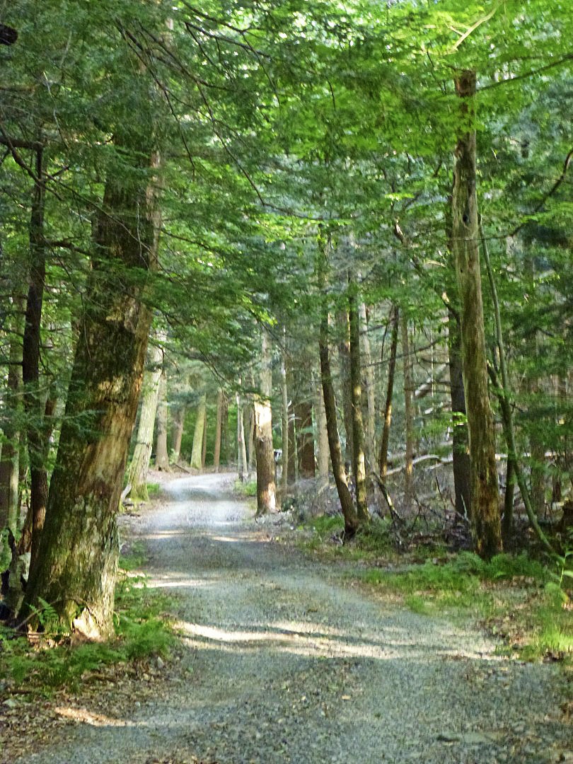

It was pretty clear as I reached the apex of the ride that I was actually going over a mountain. As I entered a brief clearing, I couldn’t see any peaks around me–an unusual occurrence. Thus, I made it to the very top of something, but I know not what.
Unfortunately, I did not make it to the end of the path today. A storm was closing in, and there was thunder and lightning off in the distance. I figured it wouldn’t be a good idea to be caught on top of a mountain in the middle of thunderstorm. So I very cautiously picked my way back down the road and returned home. Indeed, within about a mile of my place, the skies opened up!
In retrospect, this was fun, albeit extremely strenuous, but kind of dumb. I went out on a road that is not marked on any map, in an area that has no cell phone service, and climbed over a mountain on loose gravel with inclement weather threatening. I also decided to do it on the fly, so I didn’t inform anyone where I was going to be.
Some day, hopefully this year, I’ll find out what lies on the other end of this path. Preferably with a companion next time!
John

Those gravel trails do look fabulous!
Another great post. Found this on the Watershed Post (in addition to subscribing to your blog).
Dumbass adventures are sometimes the best adventures! Have to say how much I enjoy reading your blog; I grew up in Fort Montgomery (near Bear Mtn.) and used to visit my grandparents every weekend in the summer in Delaware County. Been meaning to take my road bike home with me when I visit my folks, but there’s always an excuse to bring my MTB instead! Cheers.
I’m planning a bike tour that uses this route – should I avoid this location at all costs?? There’s no alternative route that isn’t considerably out of the way.
Also we’re planning to ride in mid Oct with LOTS of bright orange clothing. Is that also really stupid?