Sorry for my brief absence. In part, it’s because I’ve been riding a lot, I’ve also had even more work than usual. Trying to fit in three or four 30- or 40-mile rides each week, plus a much longer ride on the weekend is difficult at best. Plus I wanted to give Anton’s guest post (just below) pride of place for an extended period because it’s really an amazing report. I have lots to report, including numerous rides, a review of TRP’s new Spyre SLC mechanical disc brakes, a review of Search and State’s amazing jersey, and a quick note about an great bike shop called Cinder Track Bicycles. So let’s get started with my most recent ride, and we’ll work backwards from there over the week.
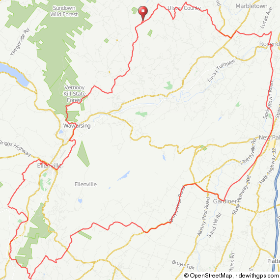
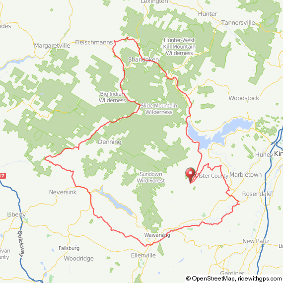
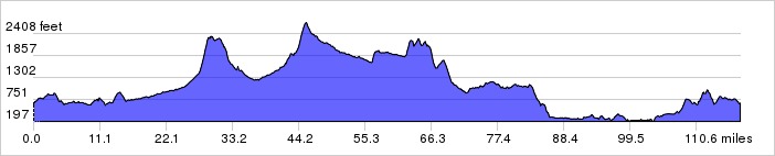
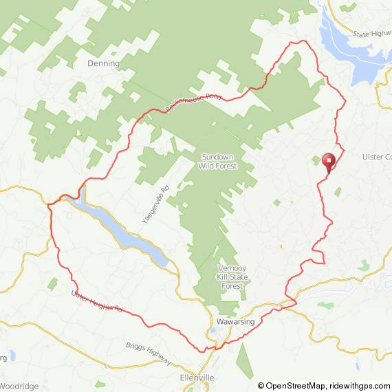
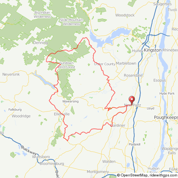
Doug and I decided on a different sort of ride this week. Our rides are almost always composed of long, brutal climbs up mountains followed by extended high-speed descents. Moreover, we almost always head north of Woodstock or to the northwest of my place in Olivebridge, New York. Into the Catskills proper. This time, we decided we’d explore the undiscovered country to the west and southwest. This area is completely different from our usual rides—even though we ended up with about 6000 feet of climbing, it was almost all rollers. In theory good for my knee, since it got frequent breaks. The route is here.

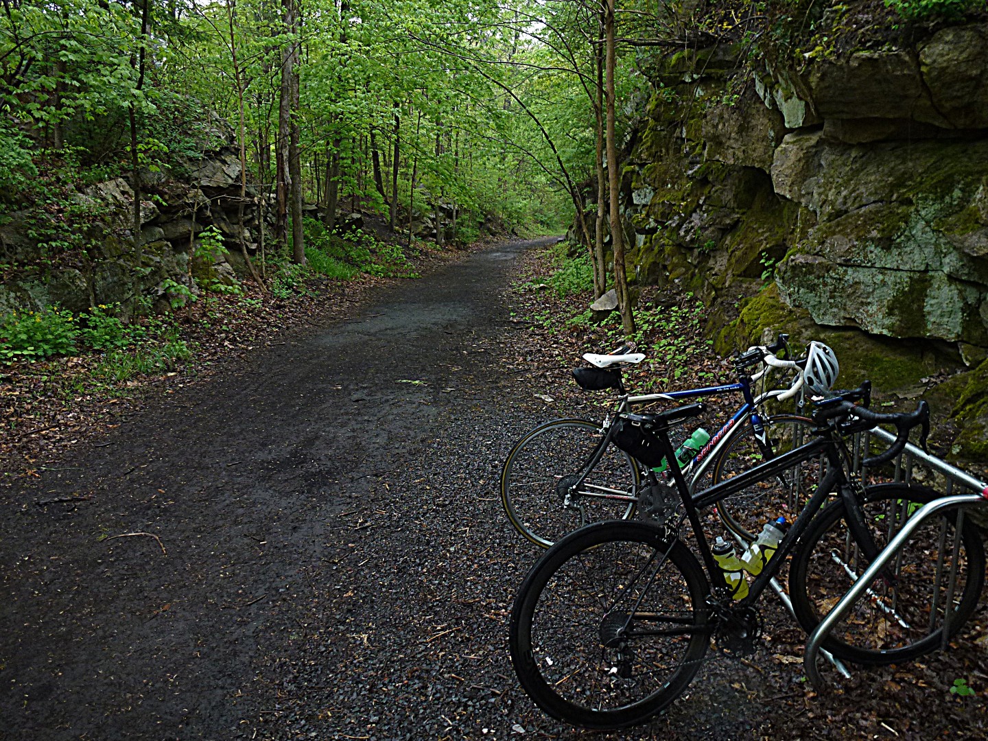
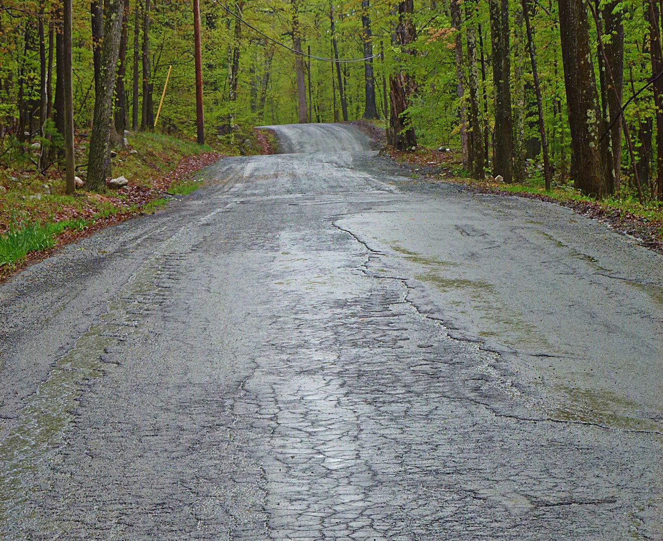
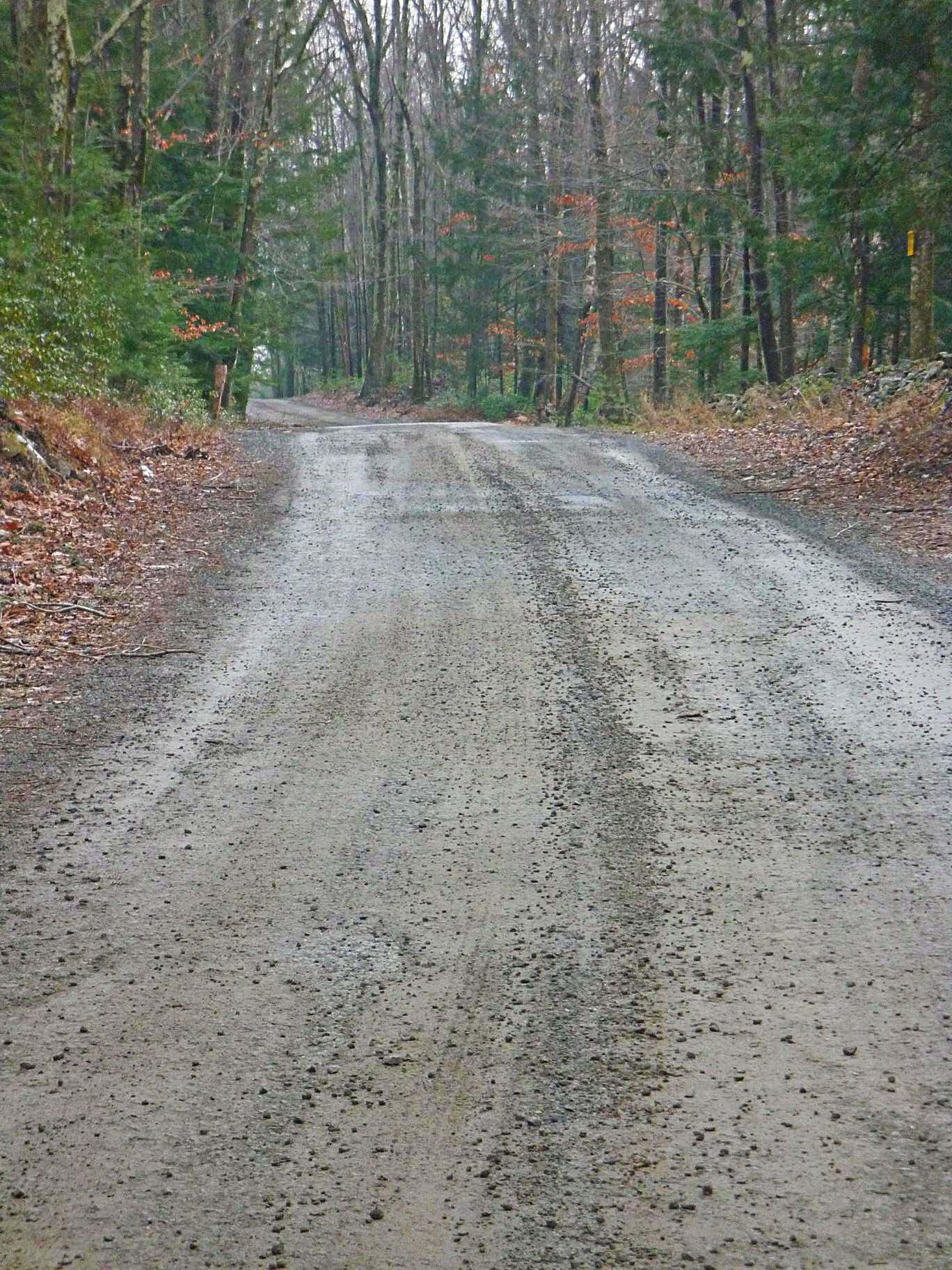
We started at my place. After a quick climb off some gravel near my home, we descended to Rogue Harbor Road, my favorite in the area. This road, which I’ve mentioned many times before, is potholed dirt and a lot of fun. With anything more than a little rain, it floods out and you end up riding through what is essentially a stream.
From there, we took Cutter “Road” over to Highway 55. Deliberate use of sarcastic quotes, because Cutter Road is rough enough that we had to get off our bikes for a moment to walk over some particular rough patches. And I was on 650B! Even with the walking, it was worth it, because it cuts about 5 miles of ugly highway out of the route.
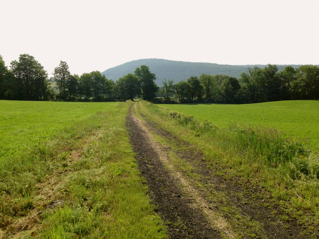
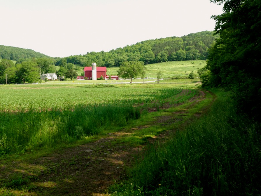
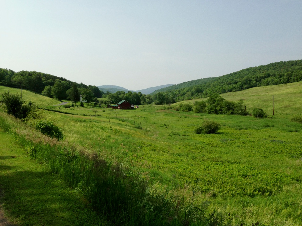
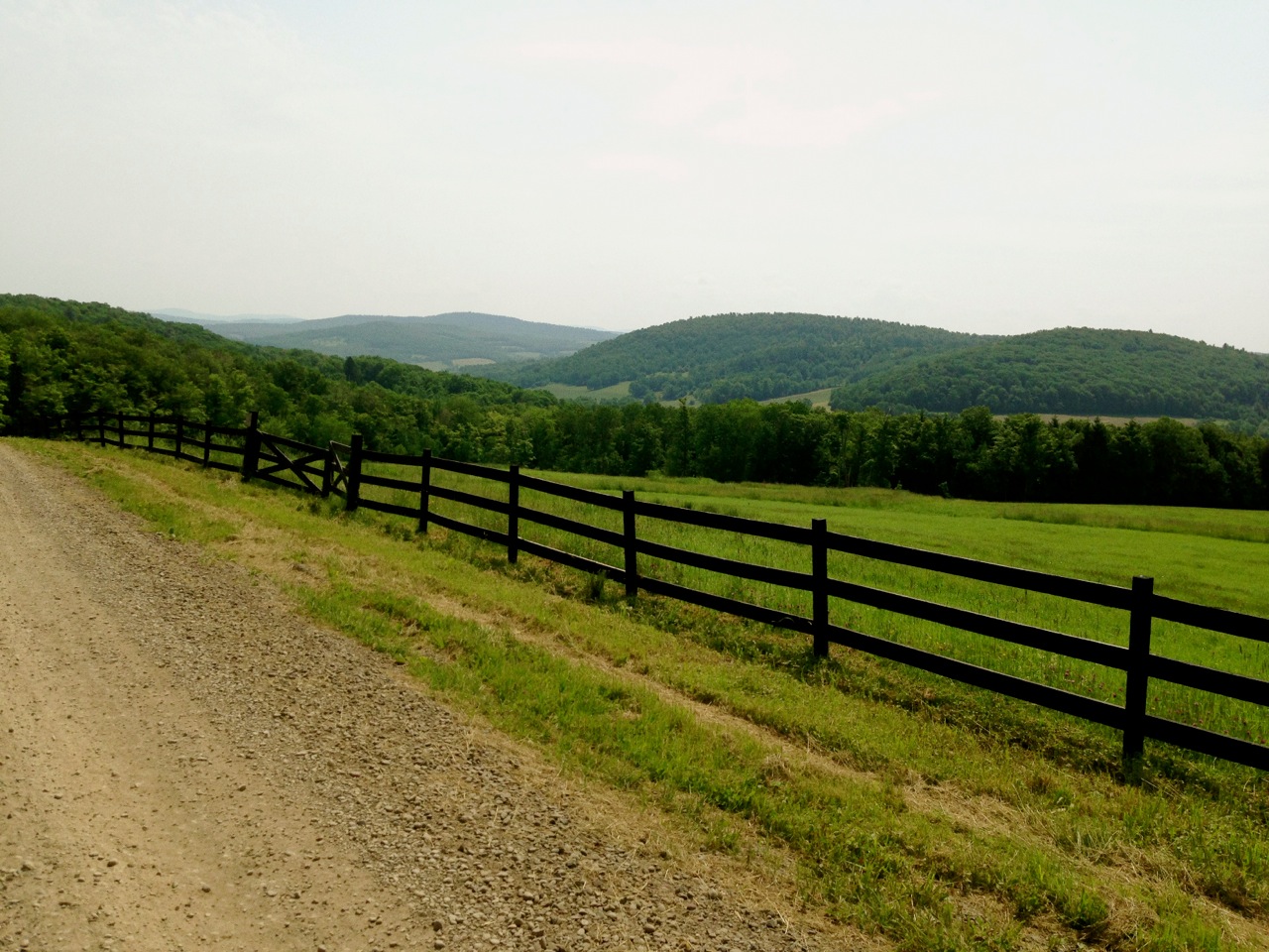
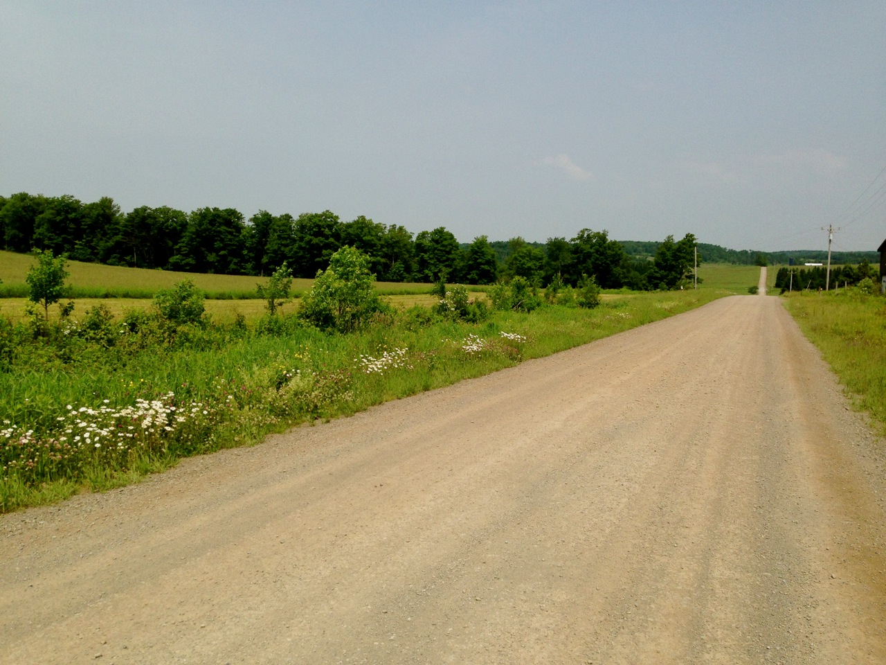
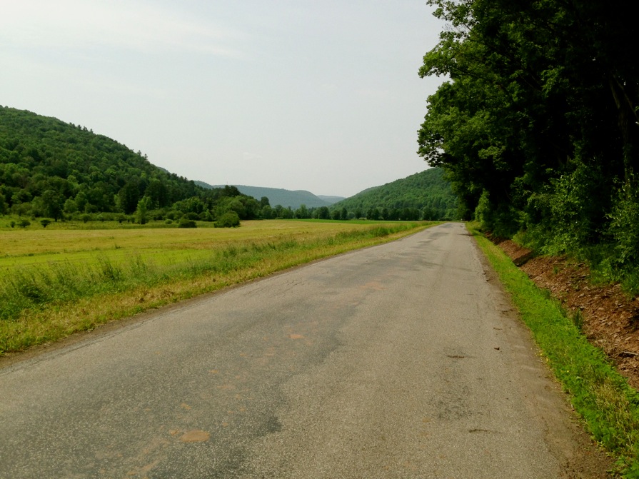
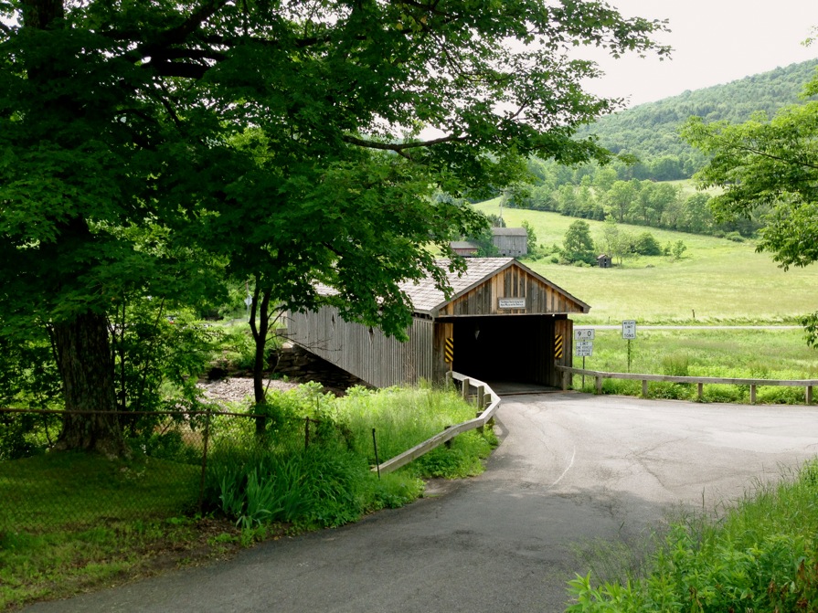
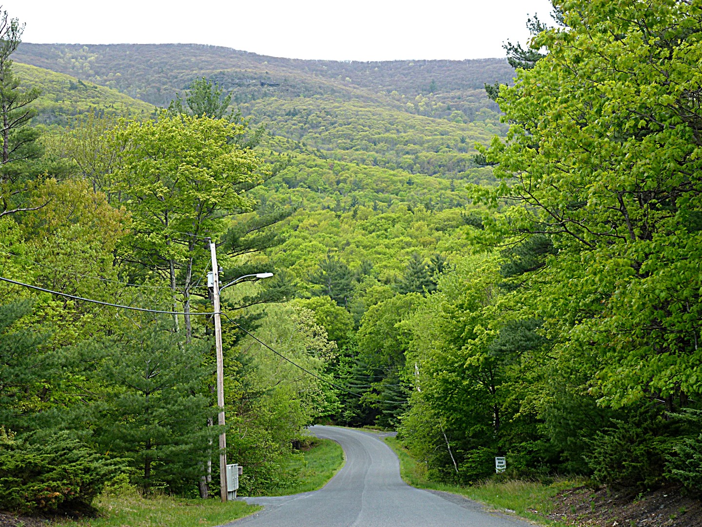
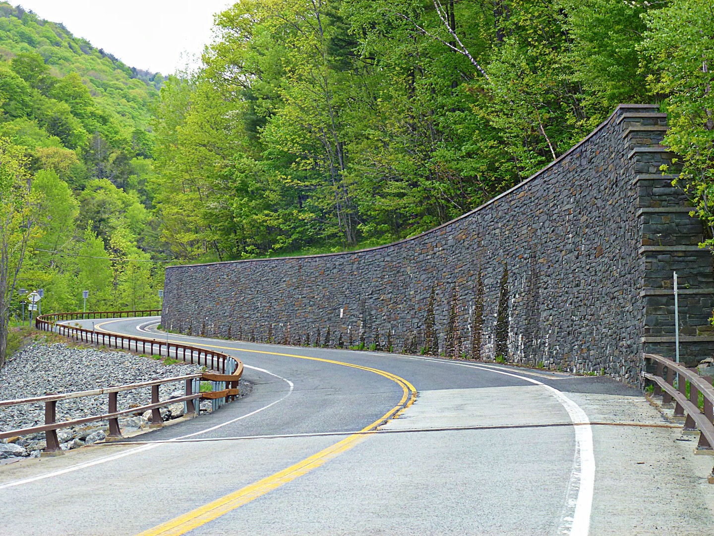
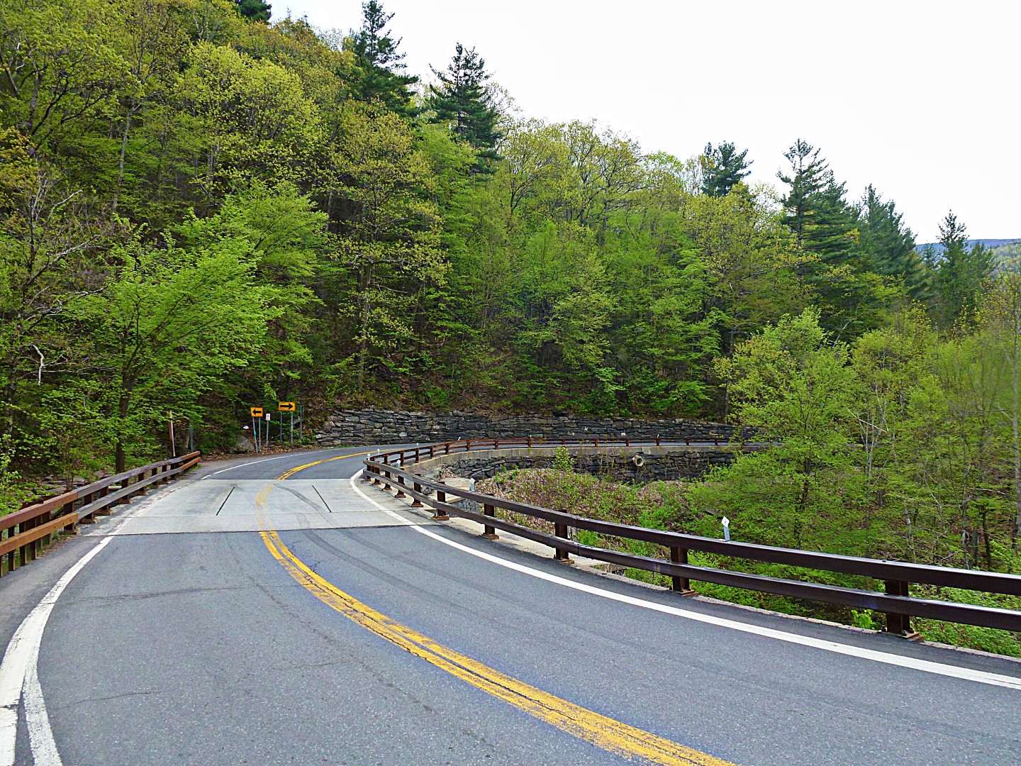
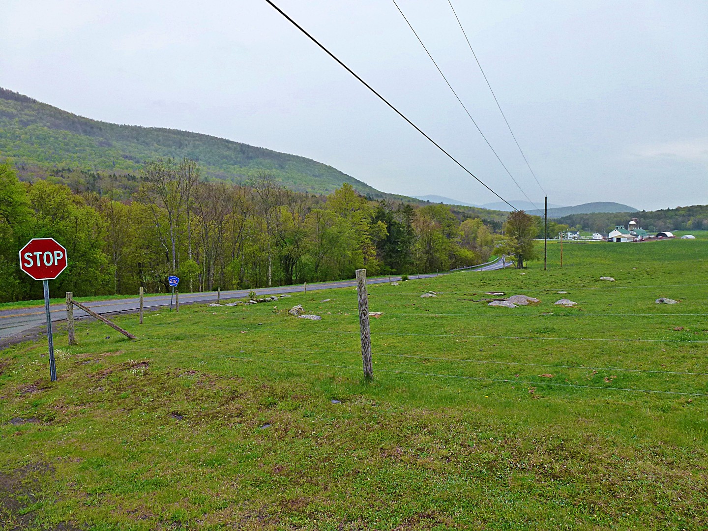
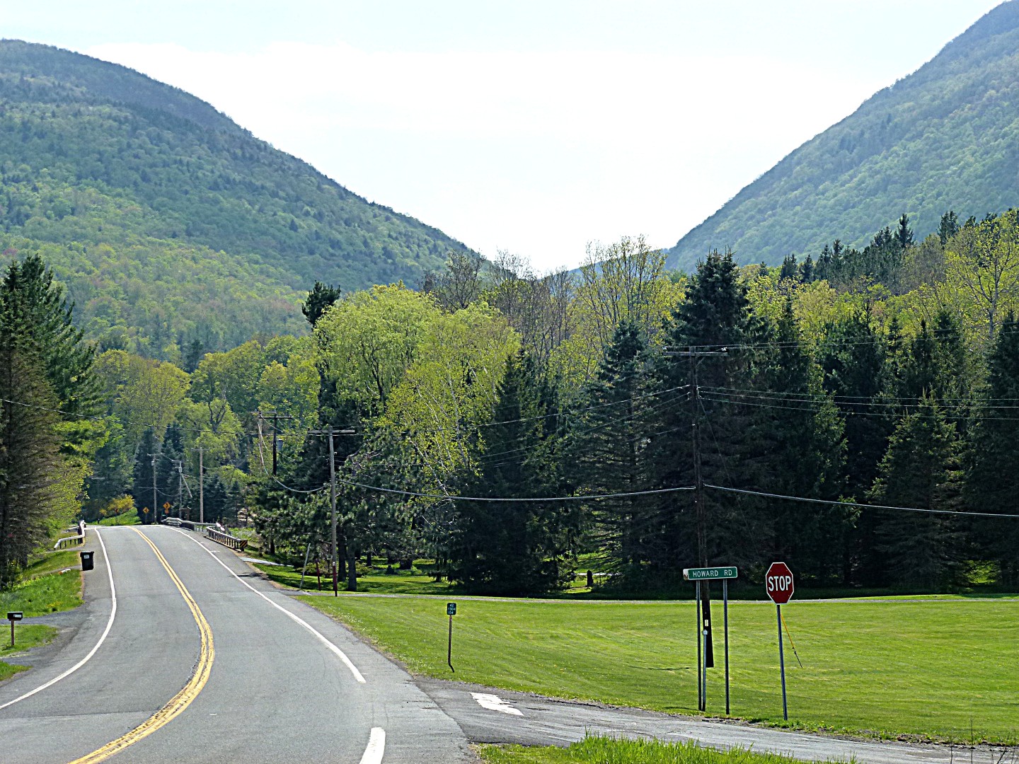
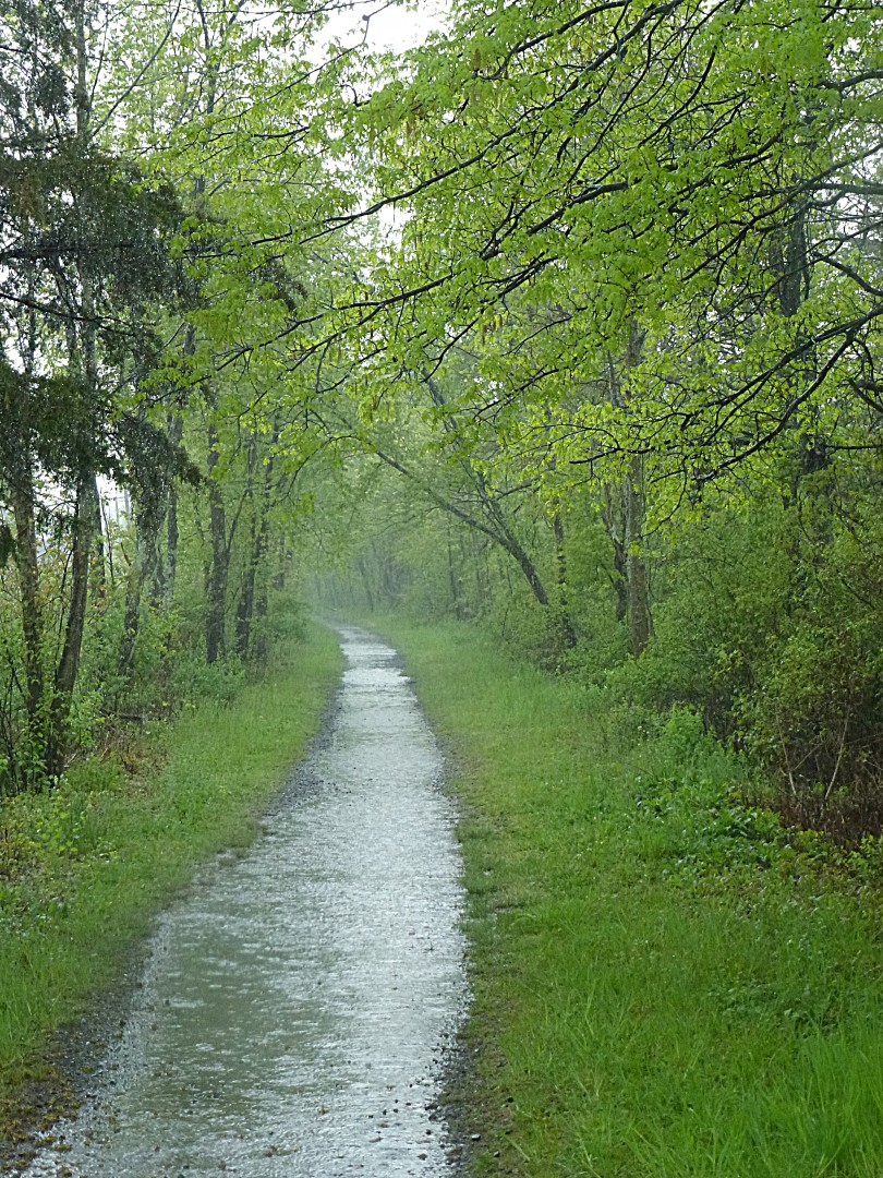
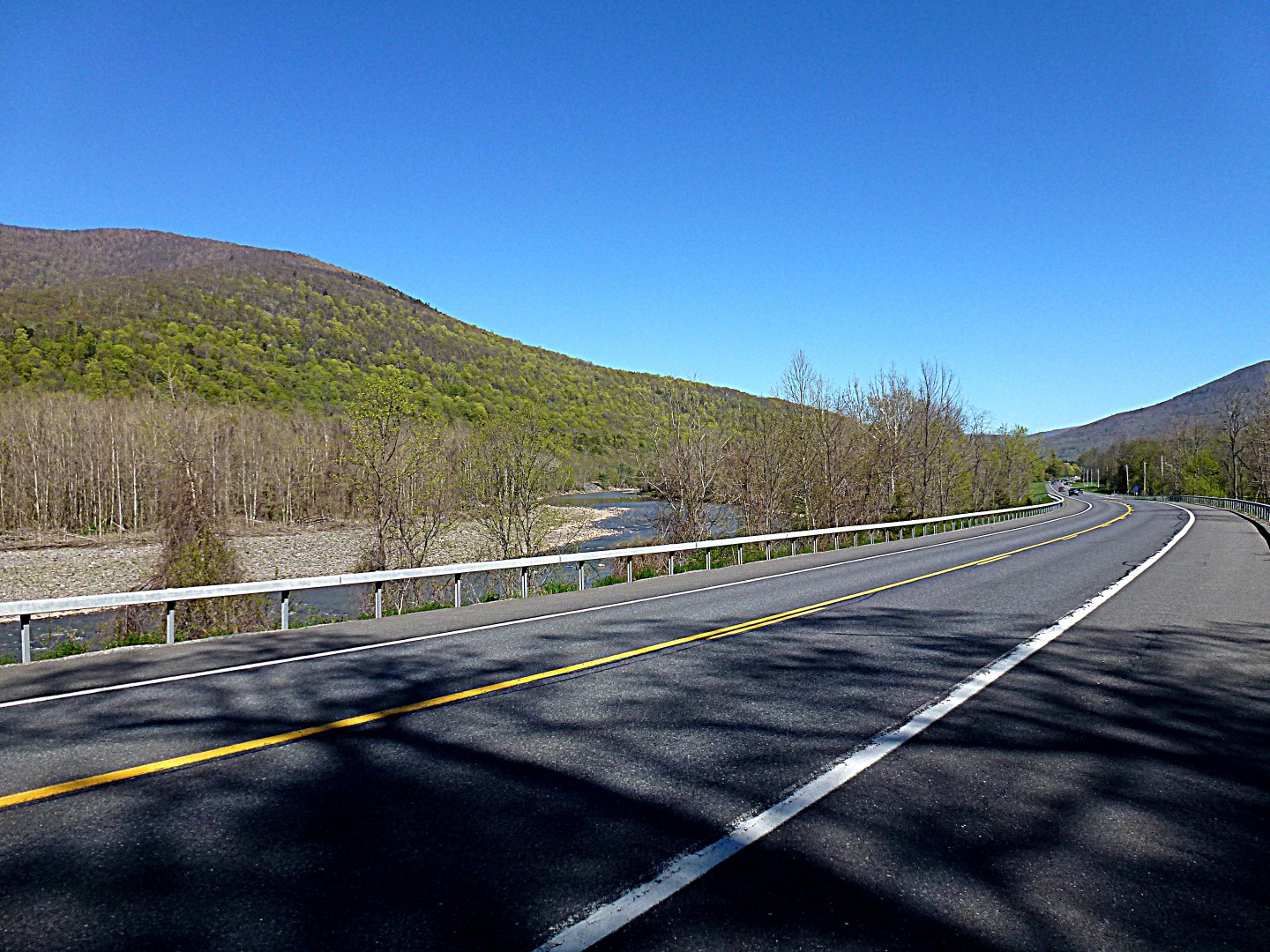
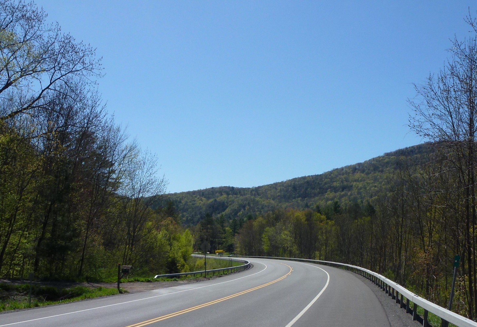
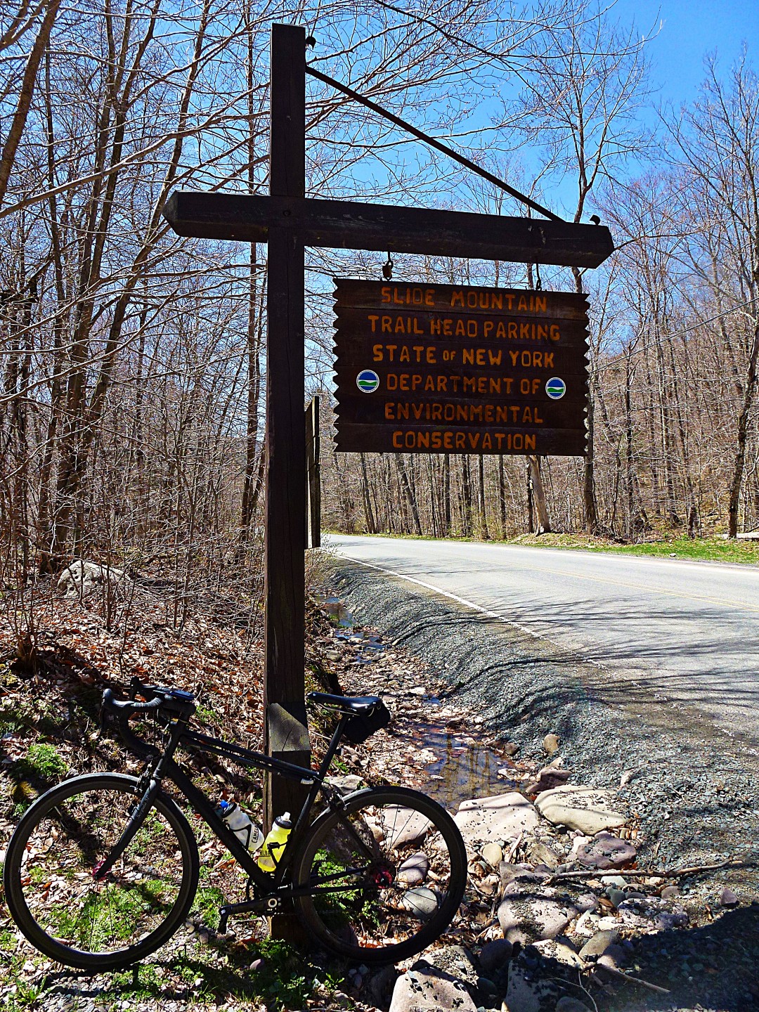
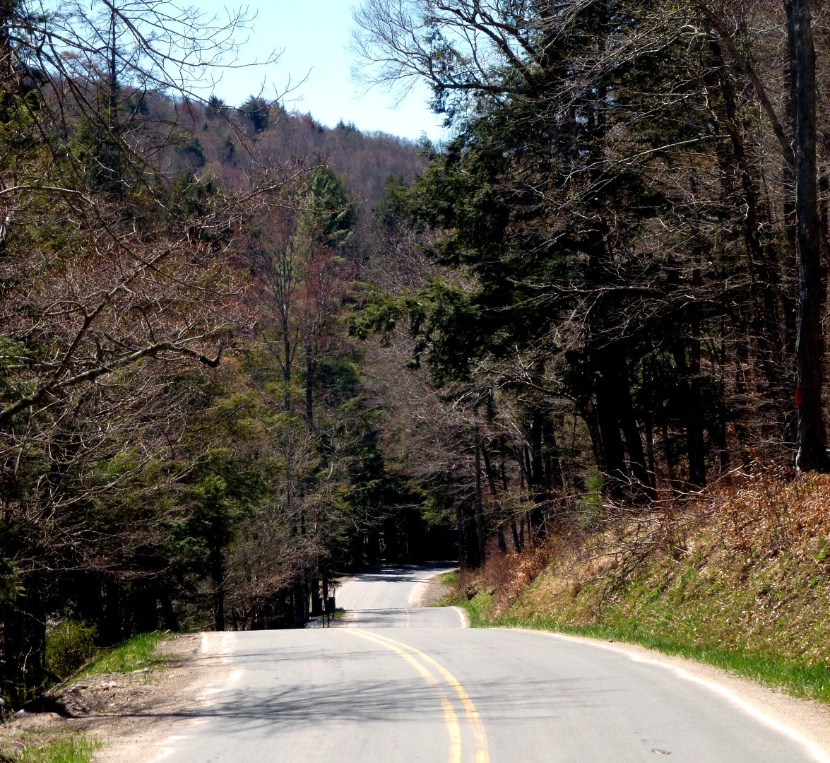
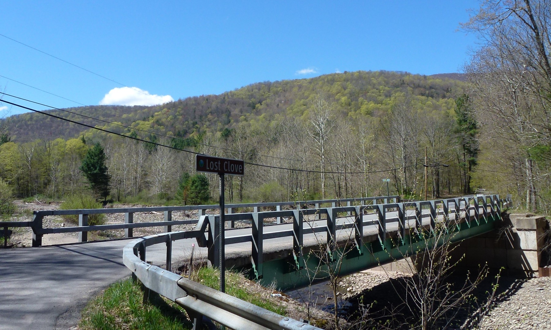
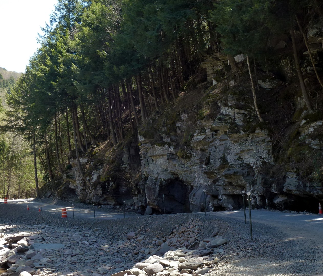
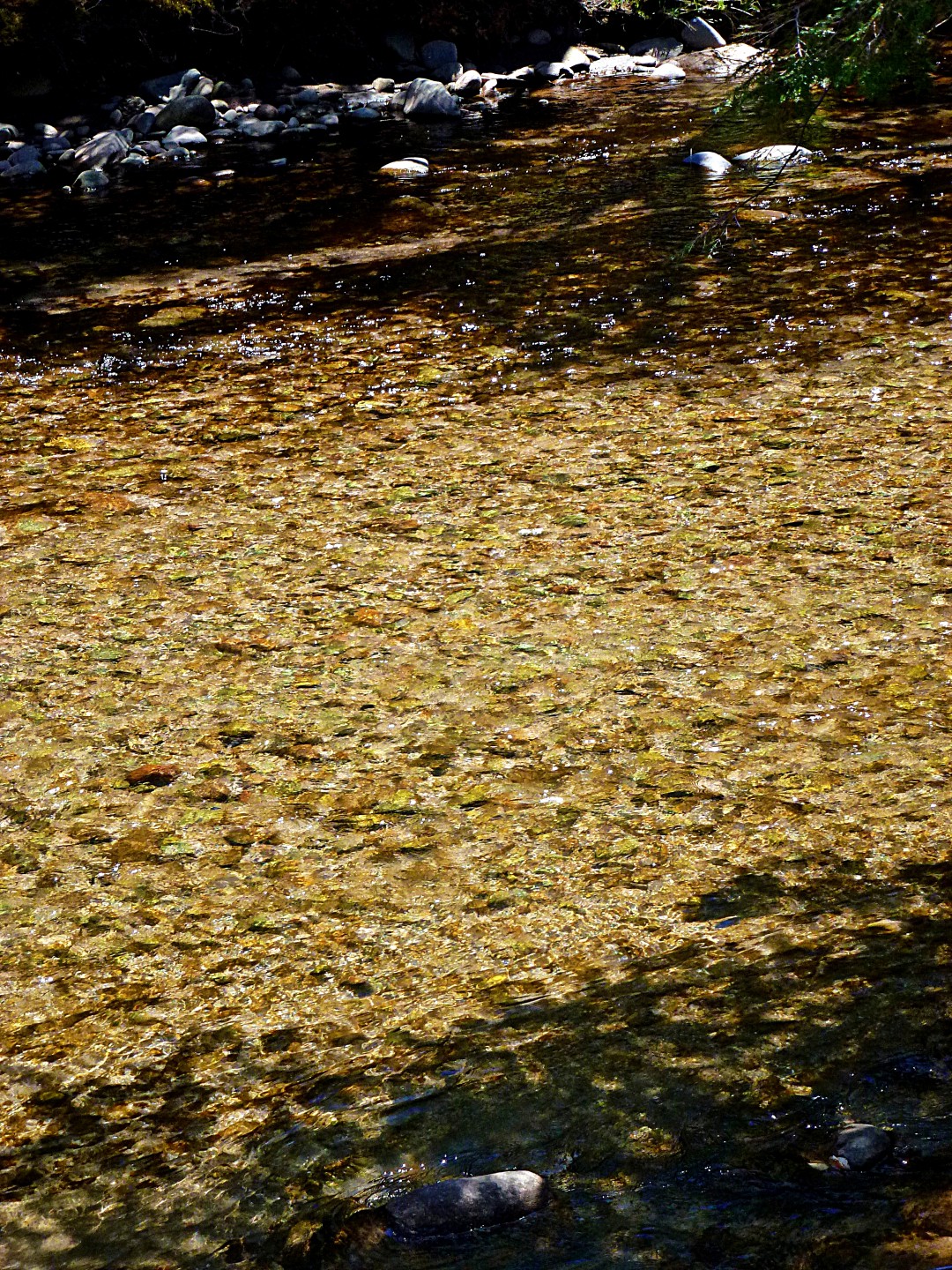
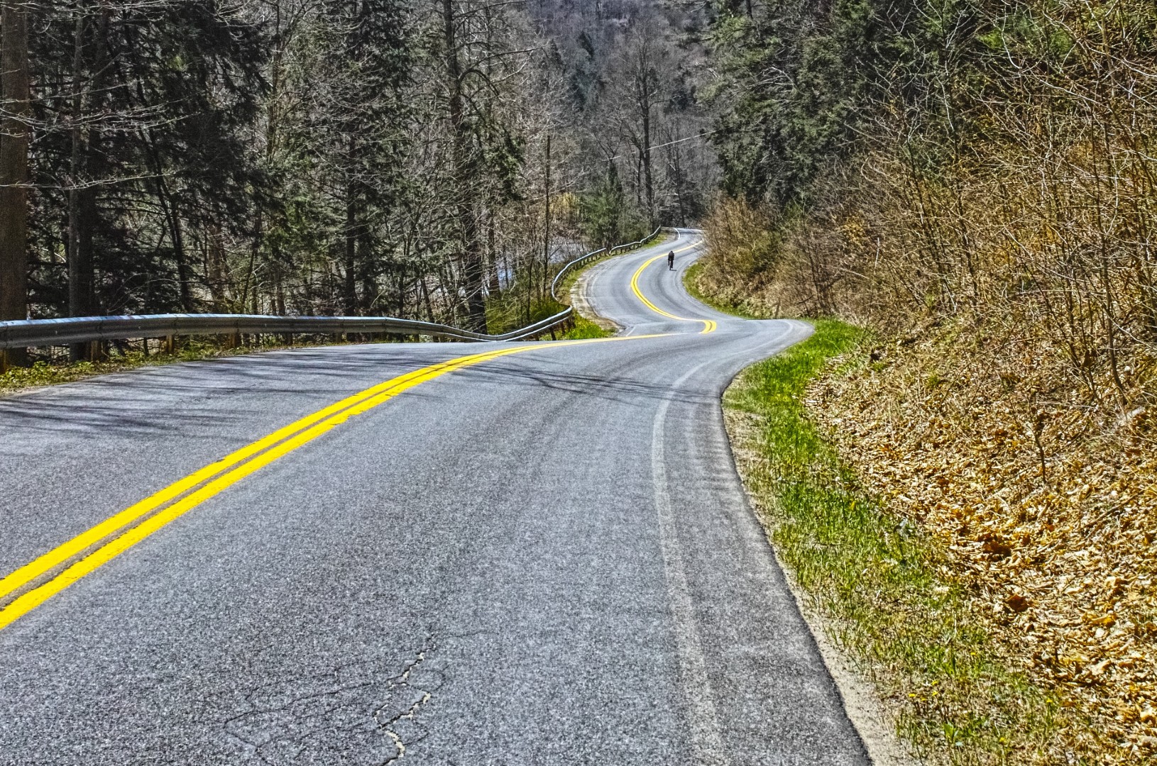
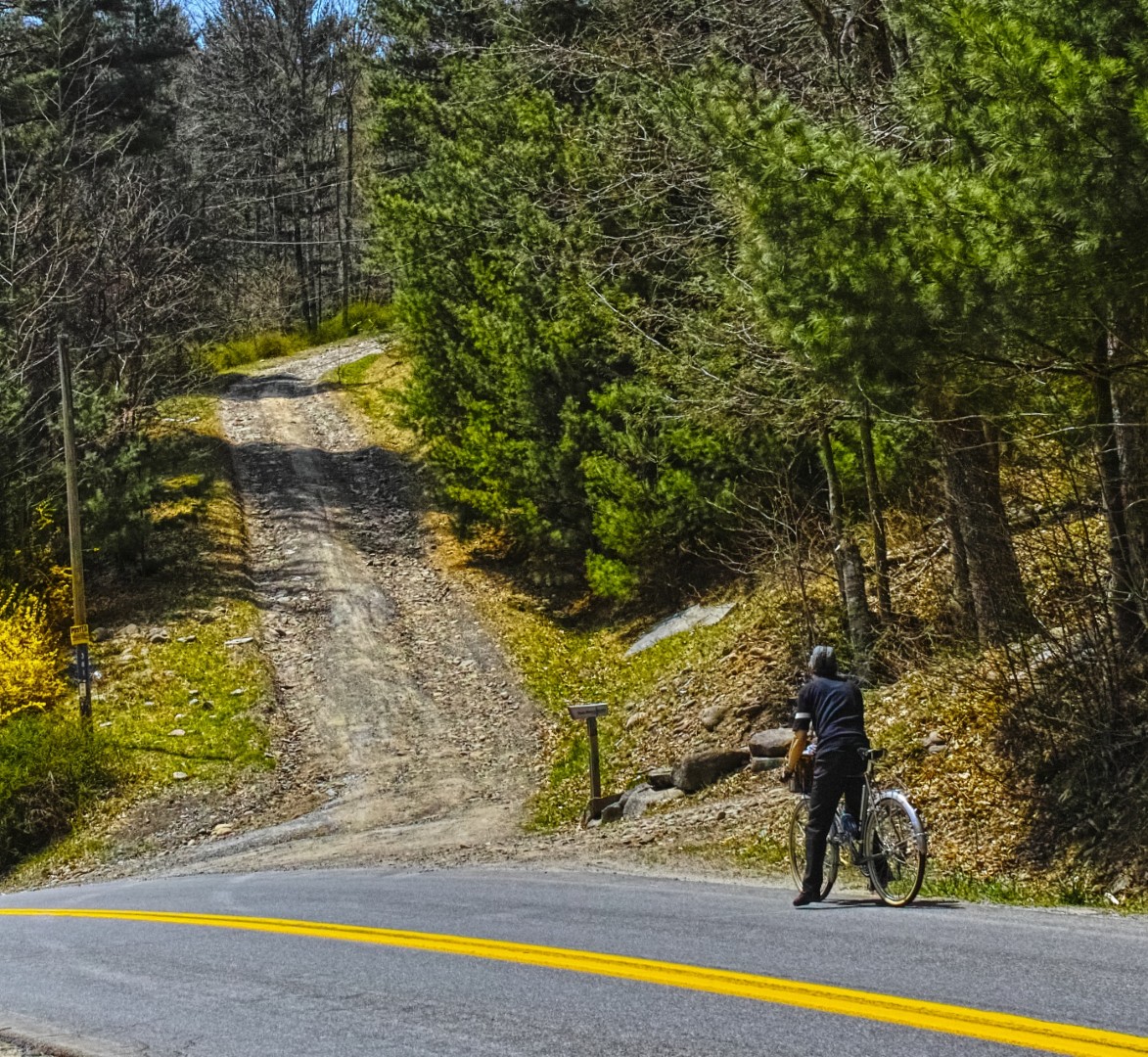
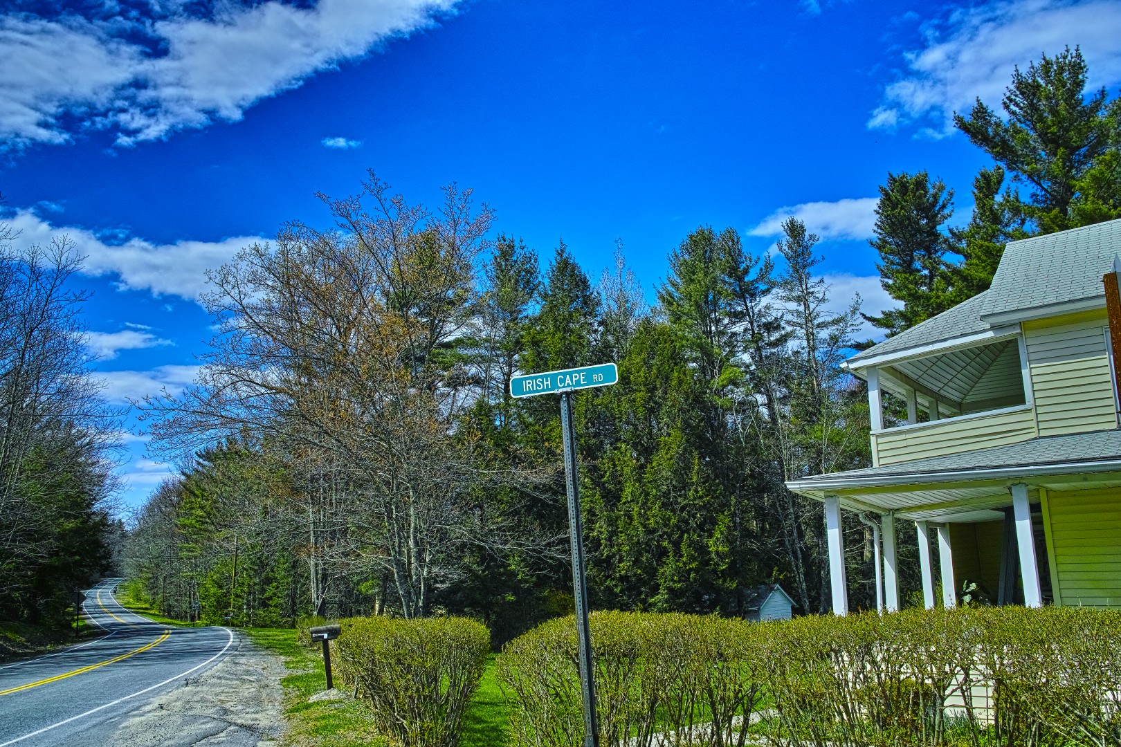
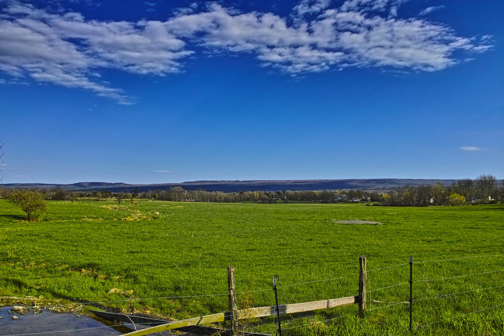
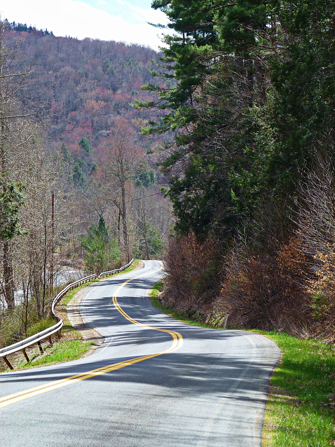
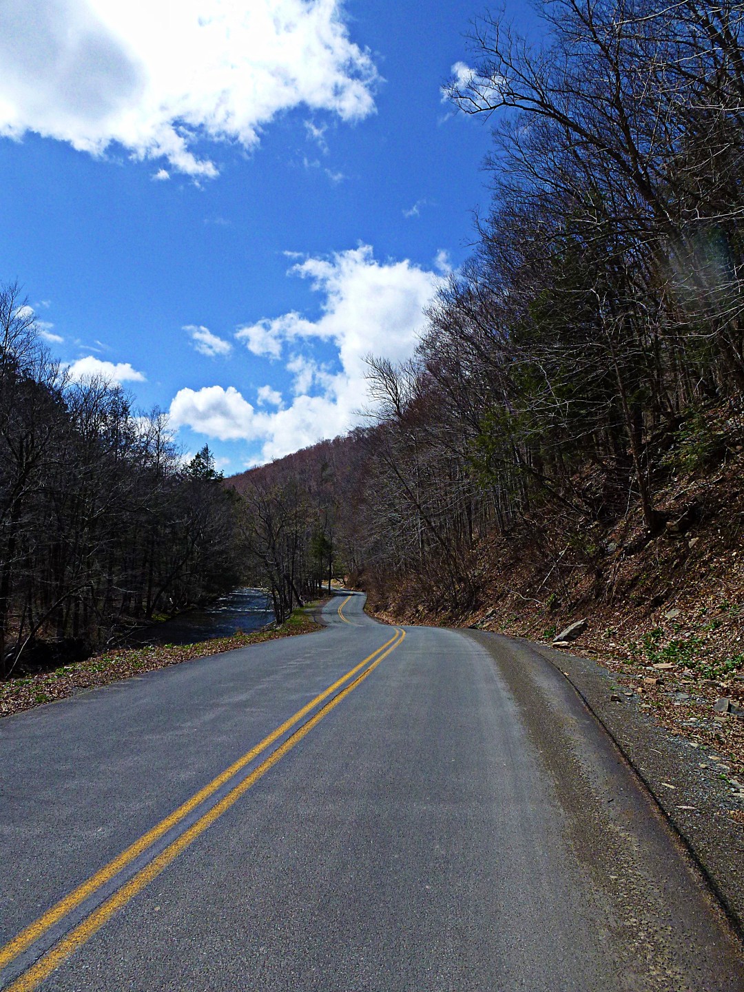
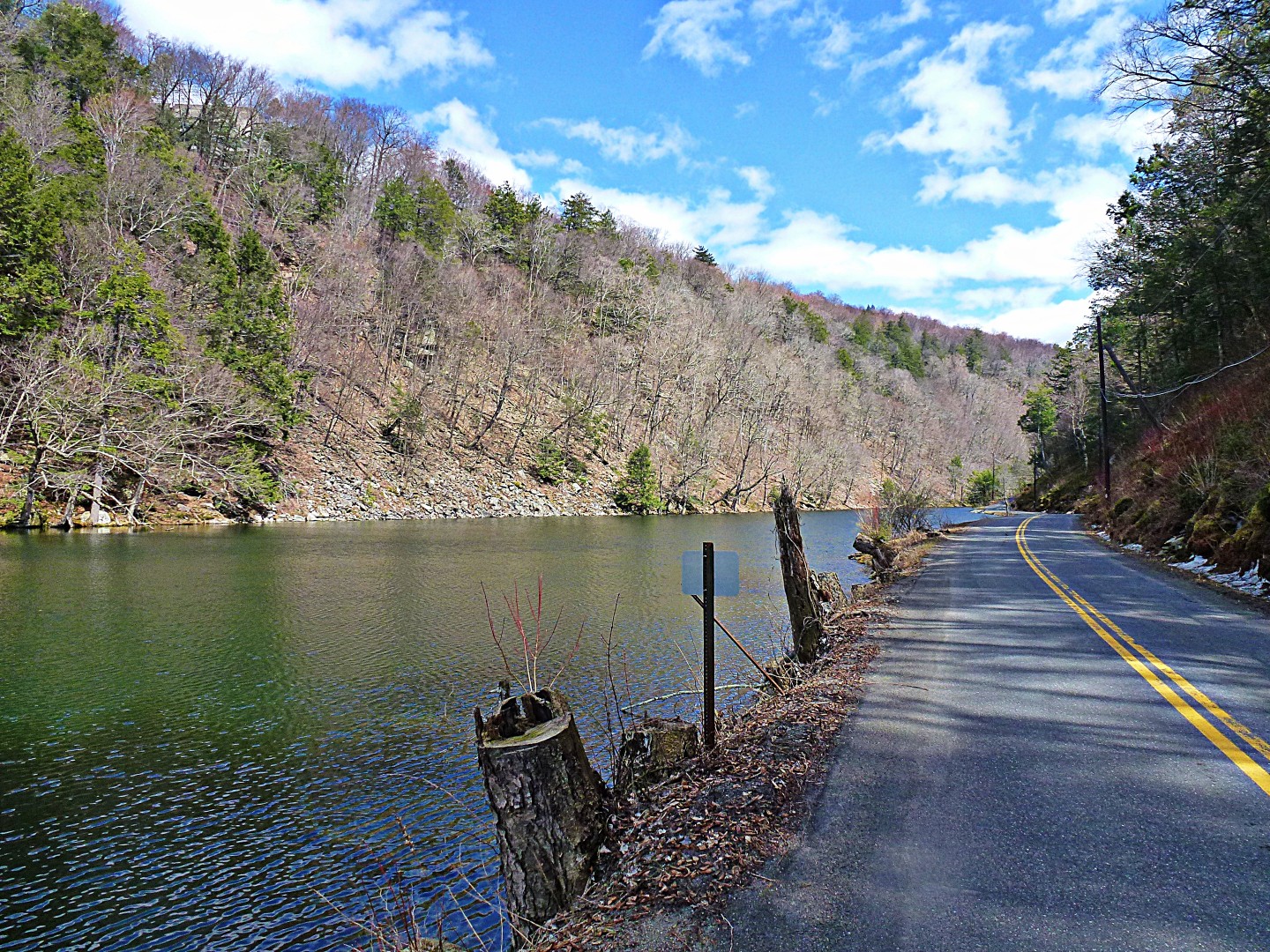
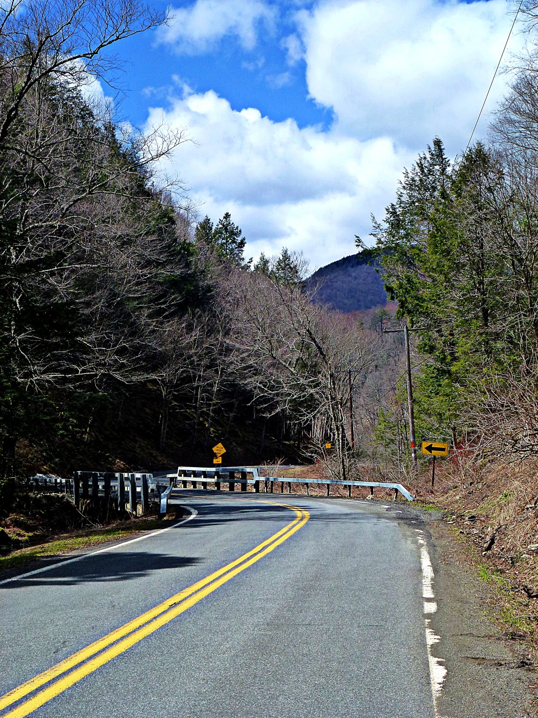
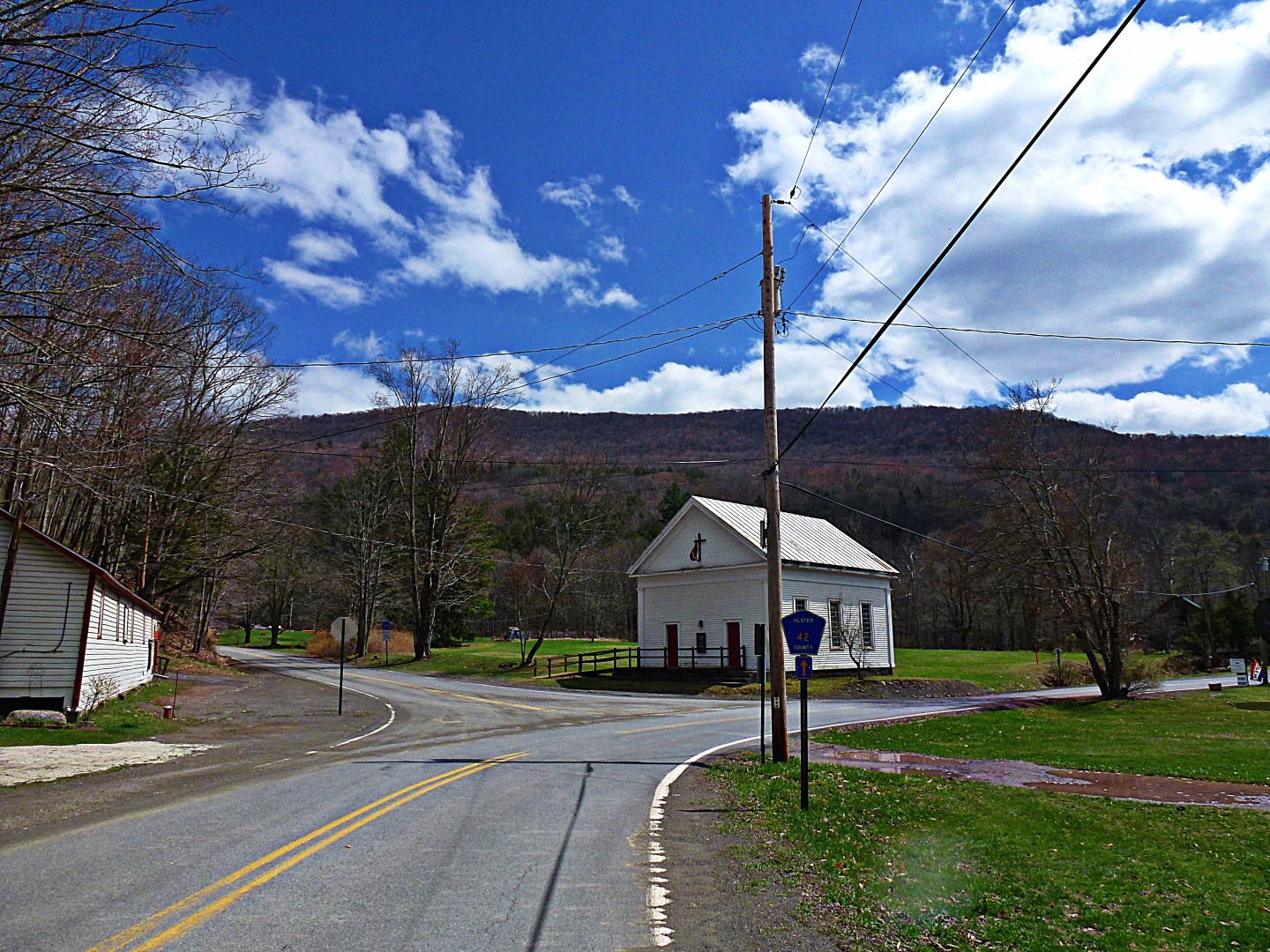
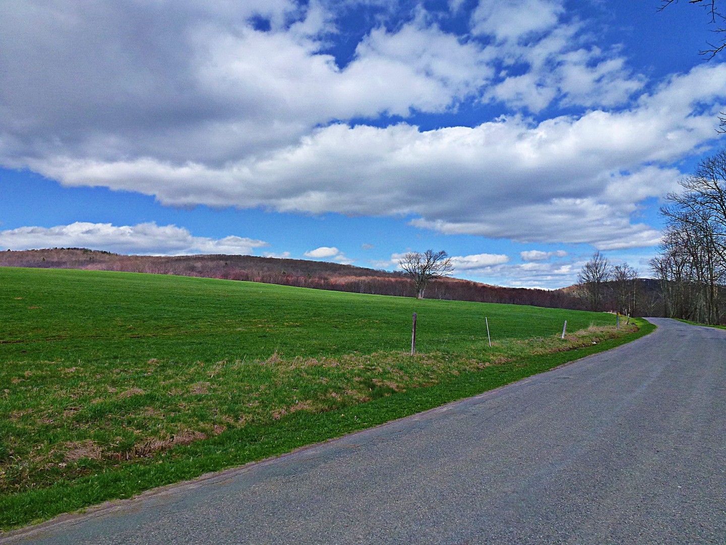
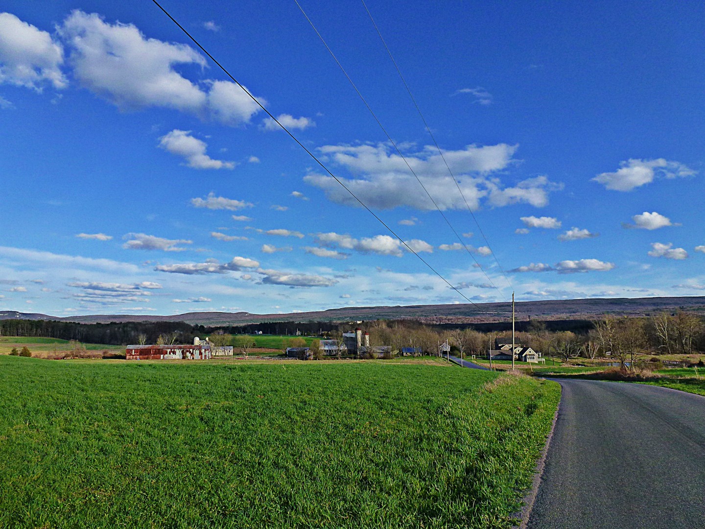
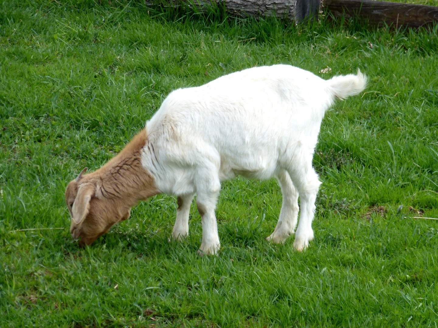
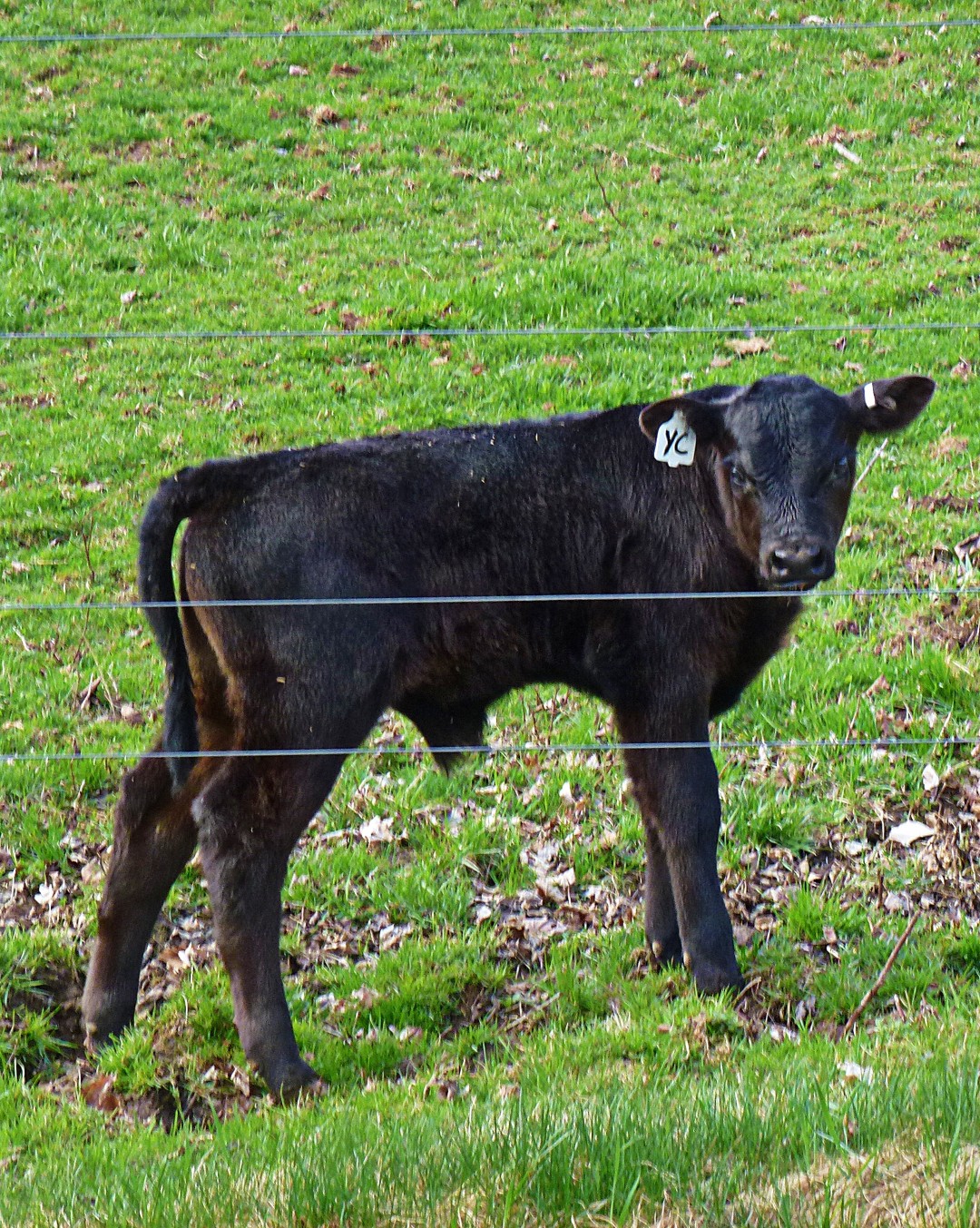
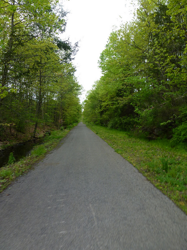
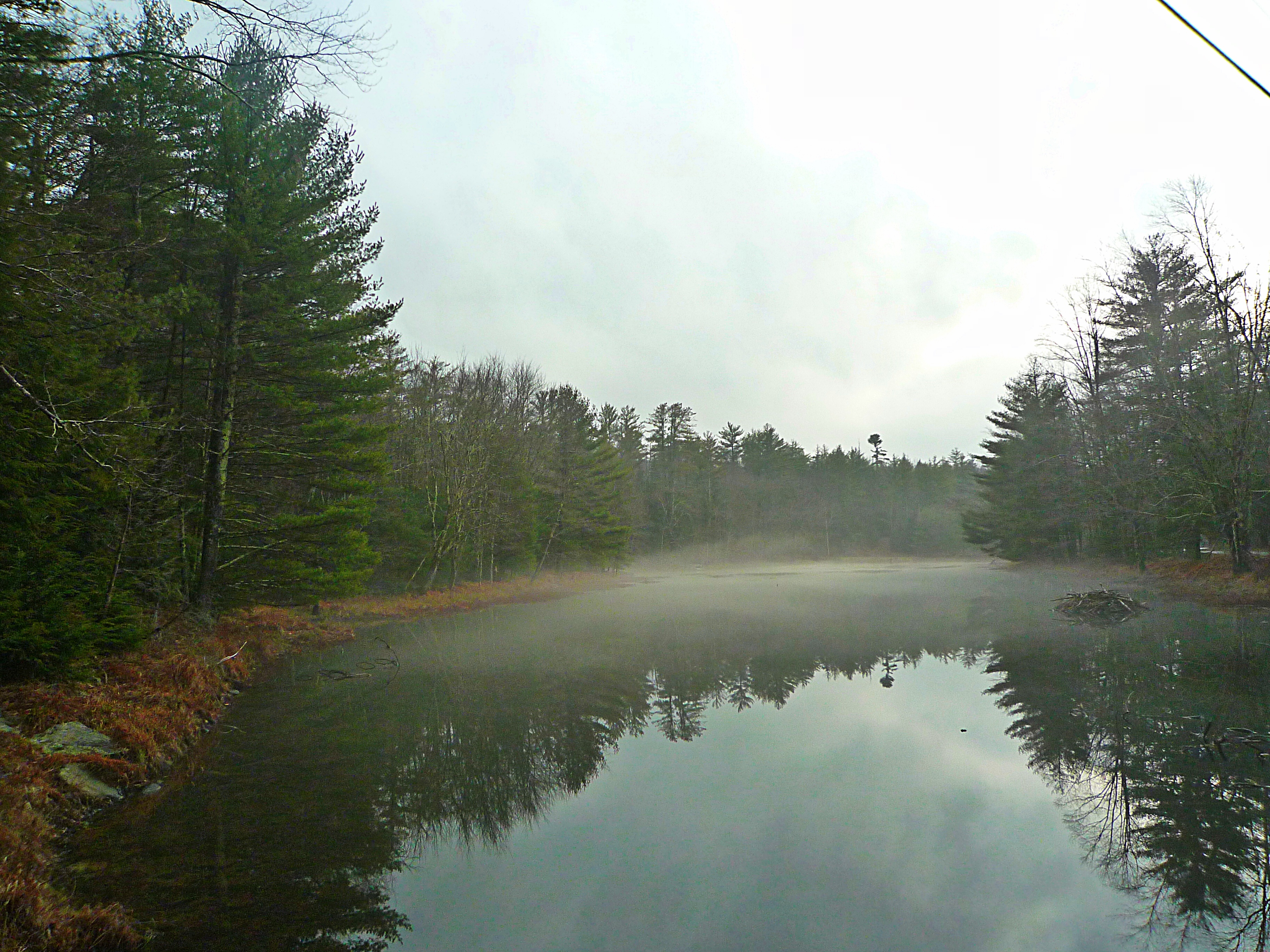
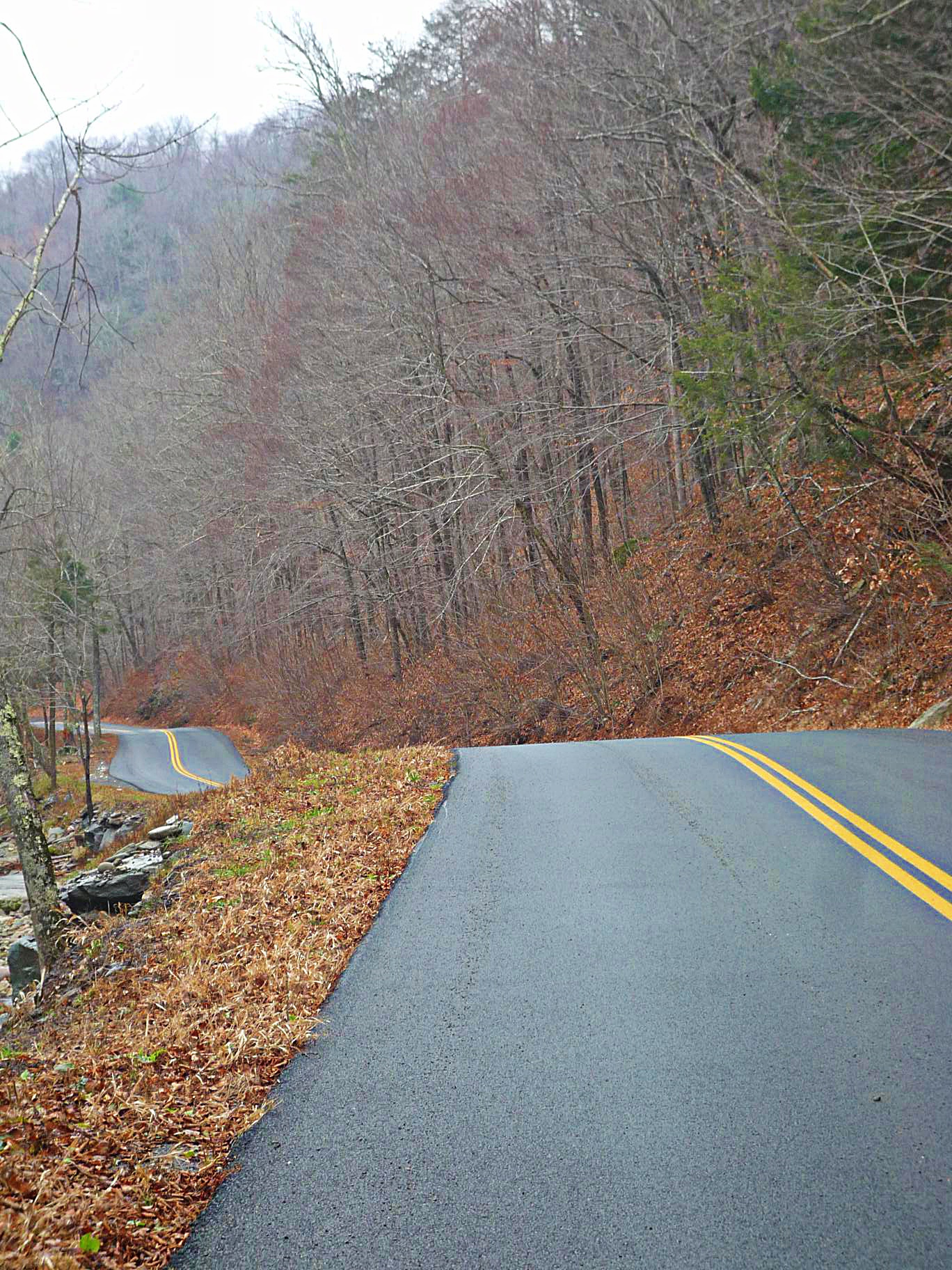
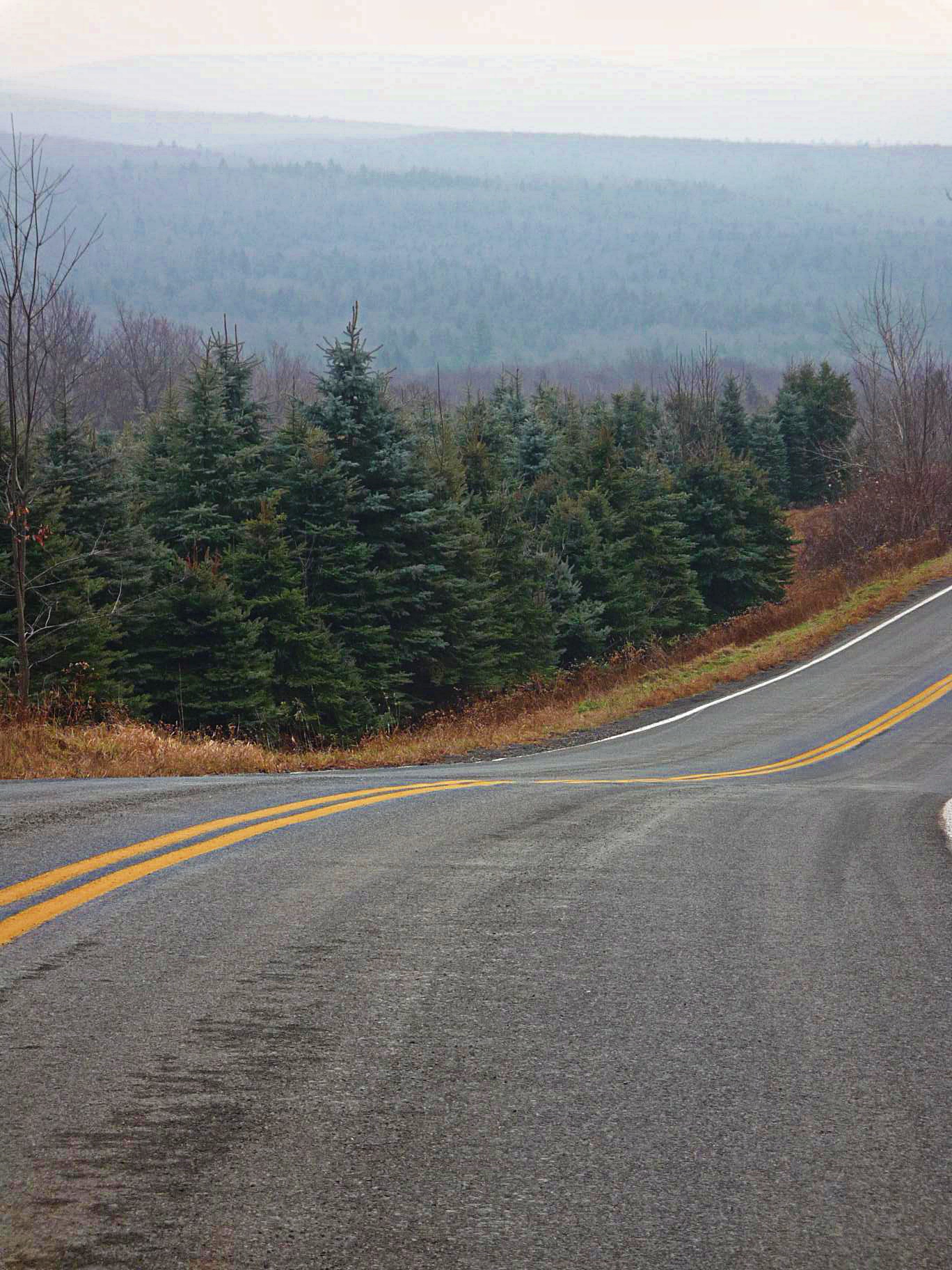
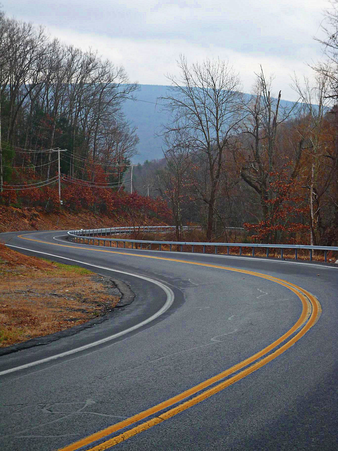
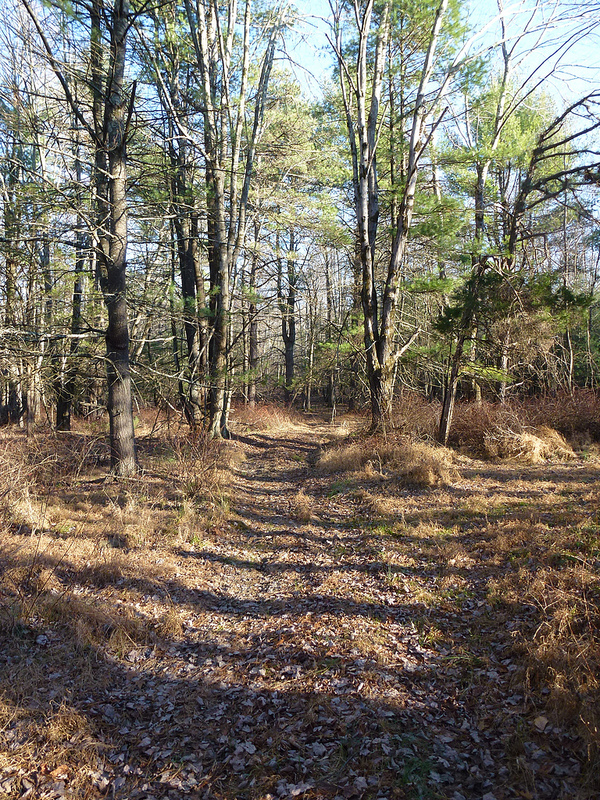
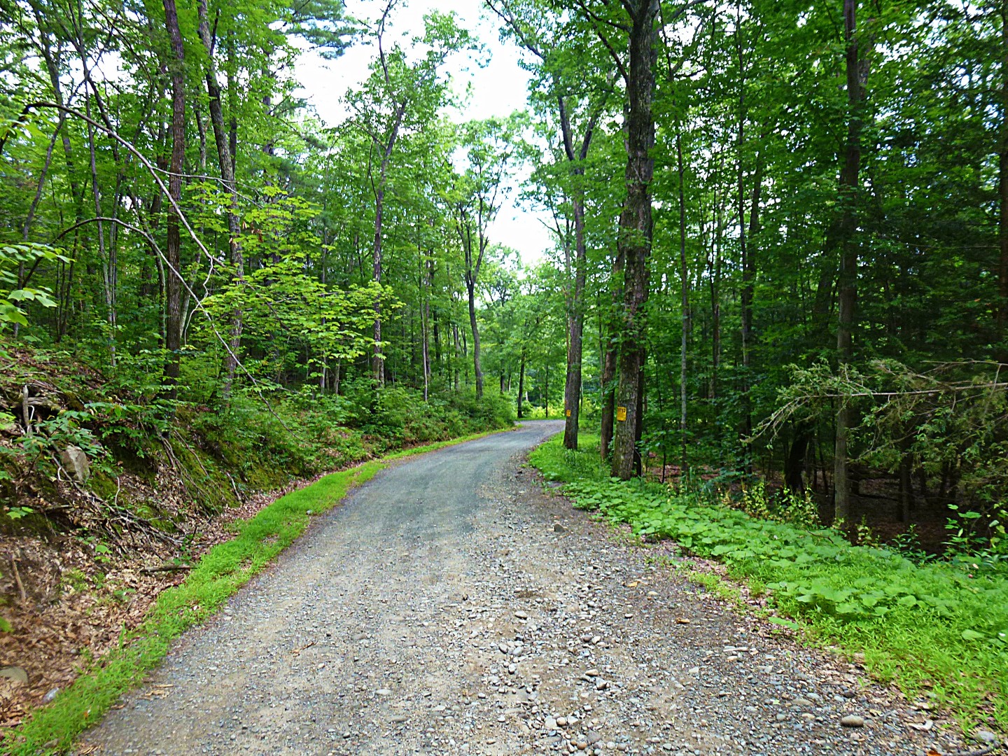
We continued southwest into the undiscovered country. I’ve passed through some of this on my way back from Peekamoose or Slide Mountain rides, but this was my first time so far south. Again, no mountains, just endless miles of rolling back country. It mostly looked like this:
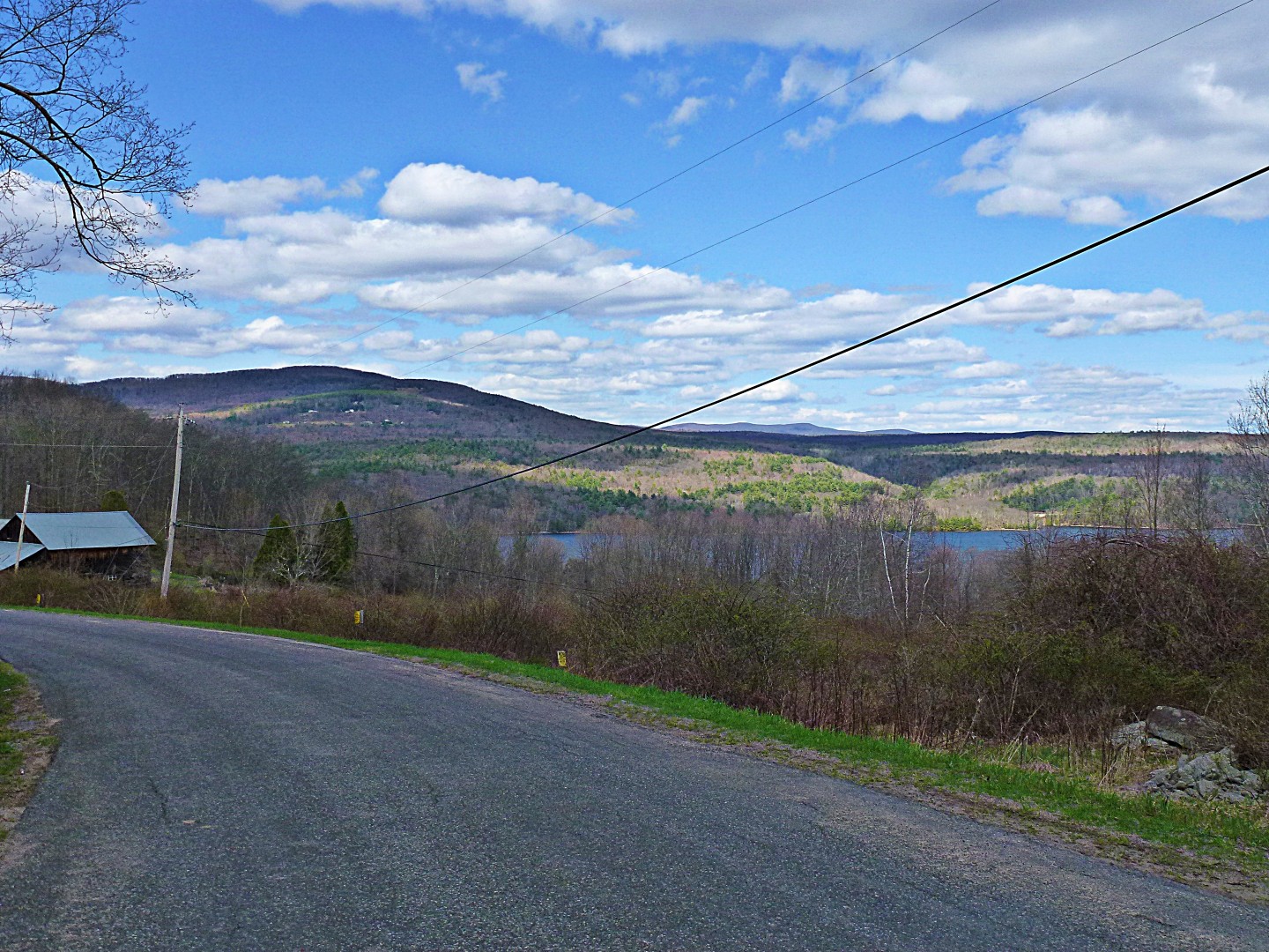
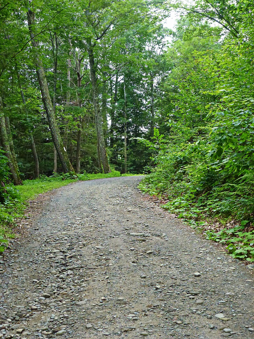
And this…

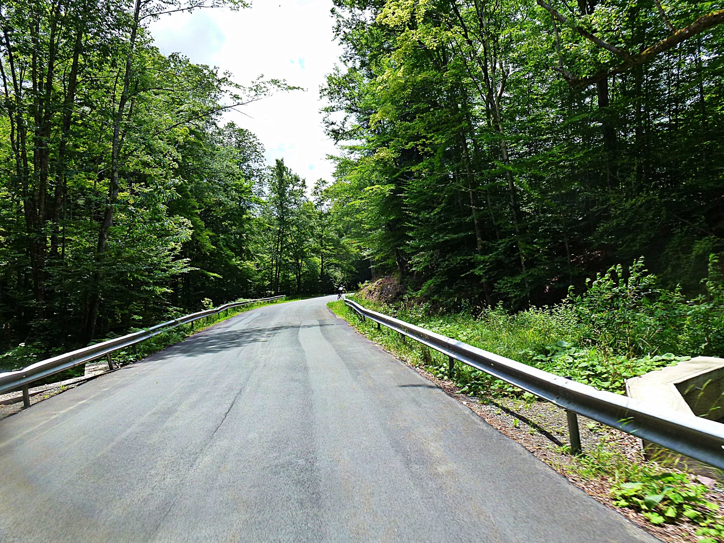
And this…
As you can see, pretty country. No views though. I also didn’t realize that rollers could be so exhausting. I also might have been tired just because it was over 90 degrees out.
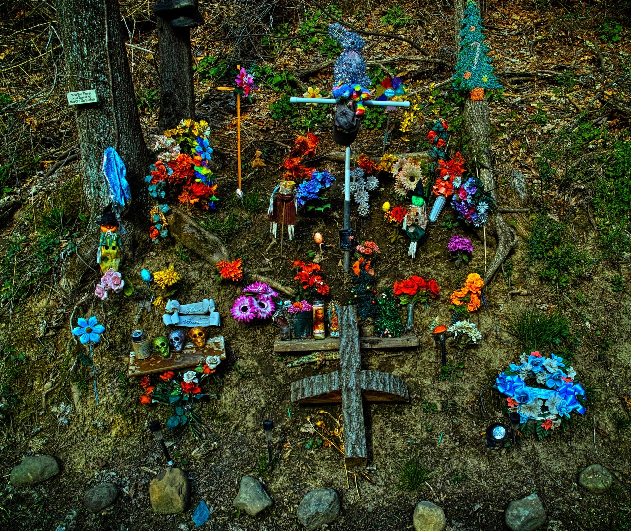
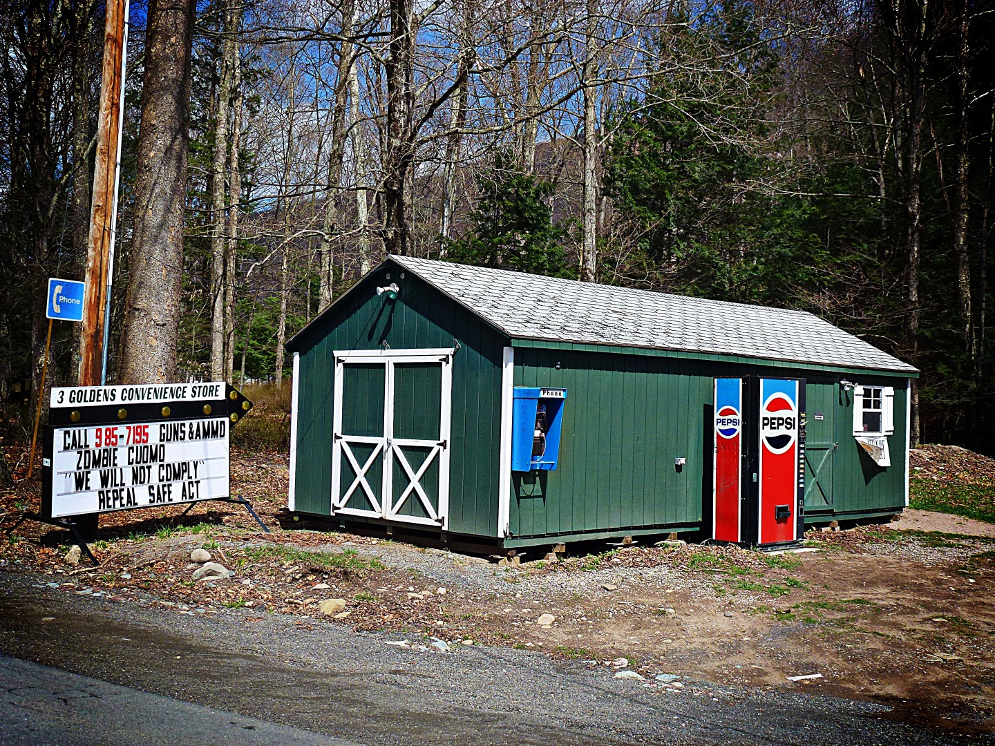
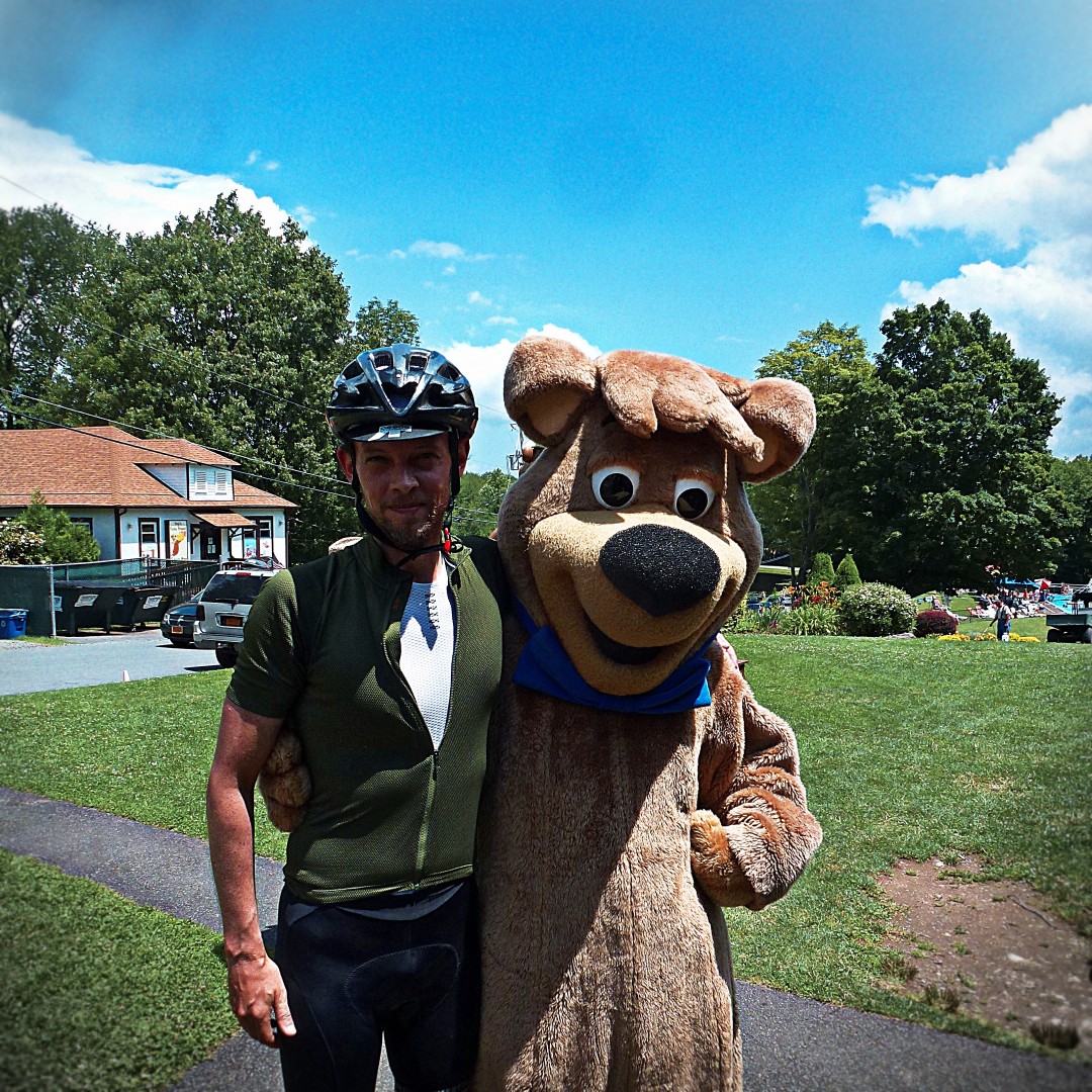
Along the way, we stopped at a convenience store located in Jellystone Park. I ran into Booboo and had to have a picture taken.
Next, we continued to Woodridge, where we had our first major delay of the day. It was July 4th, and Woodridge was absolutely packed with Orthodox Jewish folks, mostly visiting from Brooklyn. All the restaurants were full. We (tried) to eat here, but it took about an hour to get our food and eat.

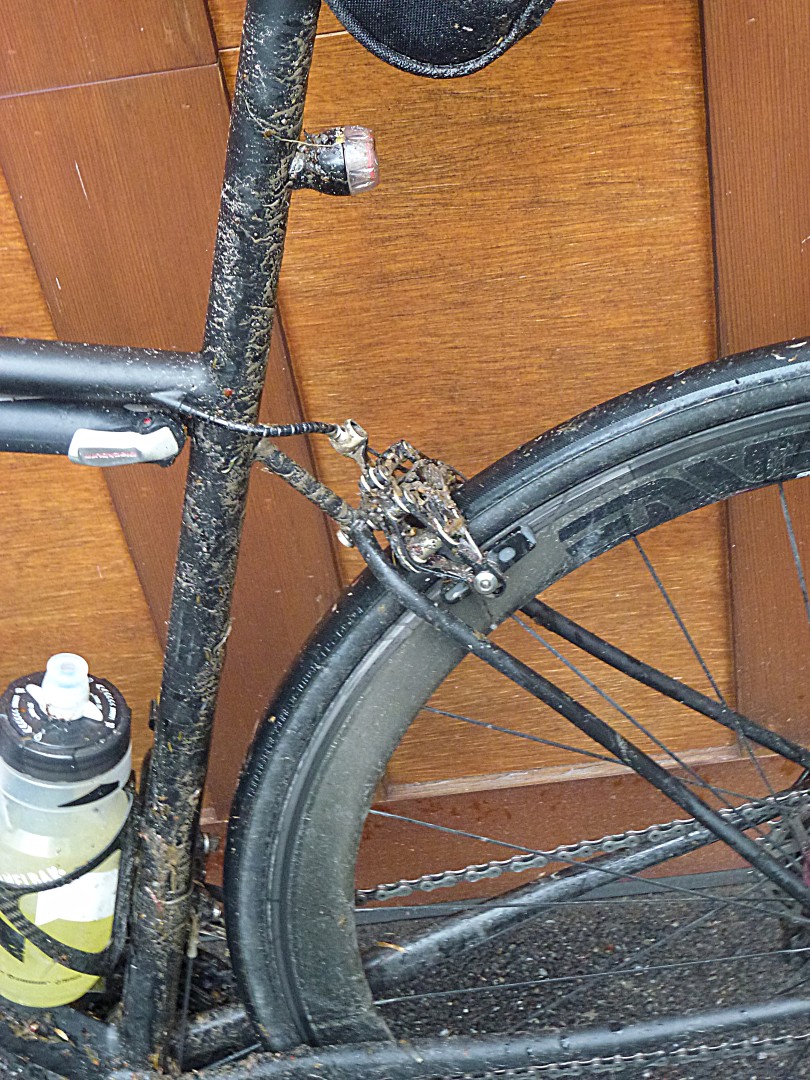
Then disaster struck, repeatedly. Doug’s tires were relatively old, and he ended up getting three flats. The first was okay, because we were going up a mild incline and we weren’t going that fast. The second was terrifying. Doug was behind me on a 30 mph descent and I heard a very loud bang and hiss. I thought he’d crash for sure, but he managed to come to a controlled stop. The third came at drink stop in Mountain Dale. We went in to get drinks (2 waters and a Coke for me), and when we went back out, Doug’s tire was flat again. I contemplated calling Margot, but, amazingly, the proprietor of the grocery store told us that there was a bike shop only a block away…and it was open! After waiting for a long time because the shop was busy, Doug bought a new front tire and three tubes, and we were good to go.

We turned north to hit Park Hill Road, and then turned again on Van Keuren Road. Our Garmins told us that it was a through road, so even though we quite clearly saw the dead end sign, we decided to turn and check it out. We thought that maybe there was a path that would lead us to our intended destination. As it turns out…no dice. There was a path, but it was submerged and extremely muddy. I may have been able to manage it on my bike, but Doug was riding 23s.

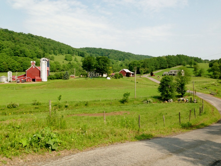
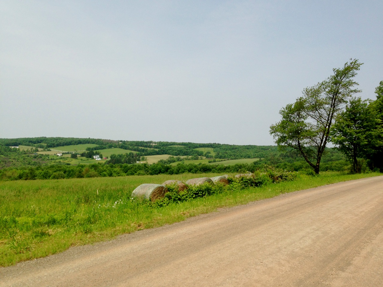
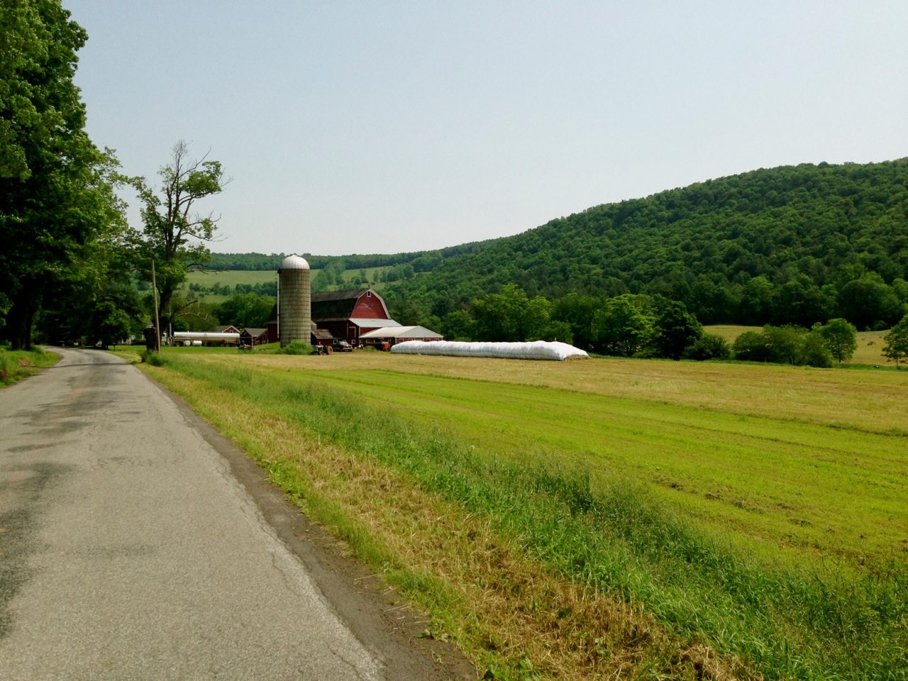
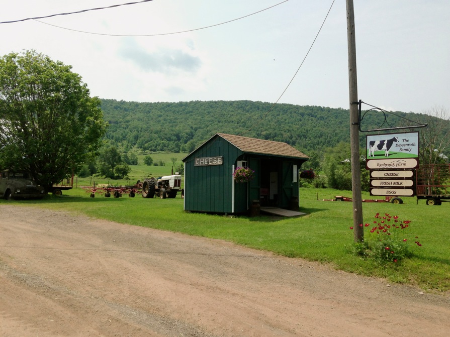
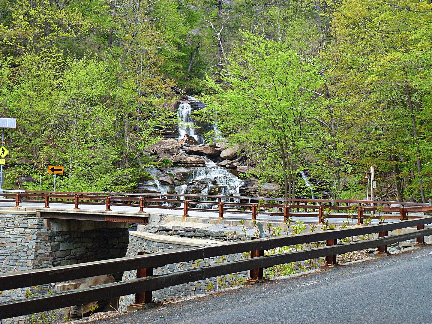
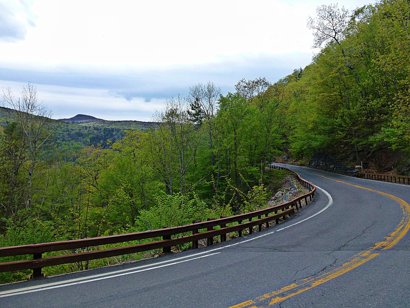
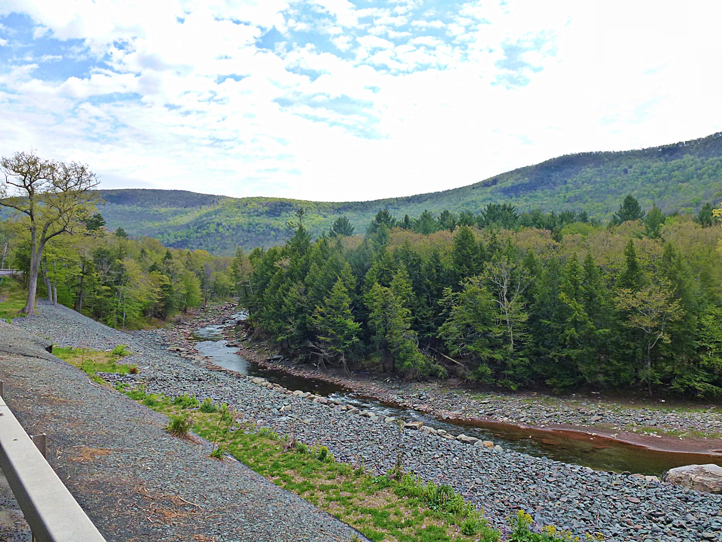
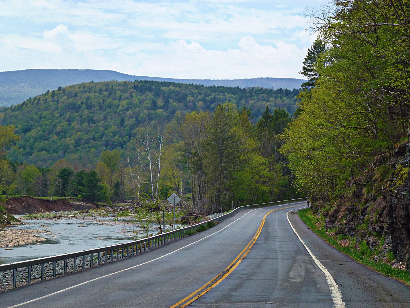
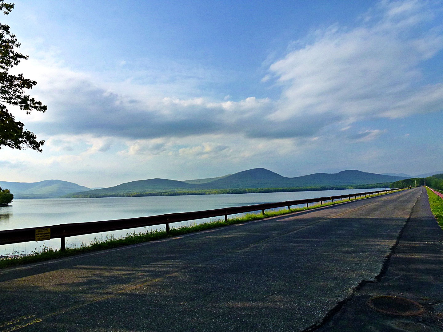
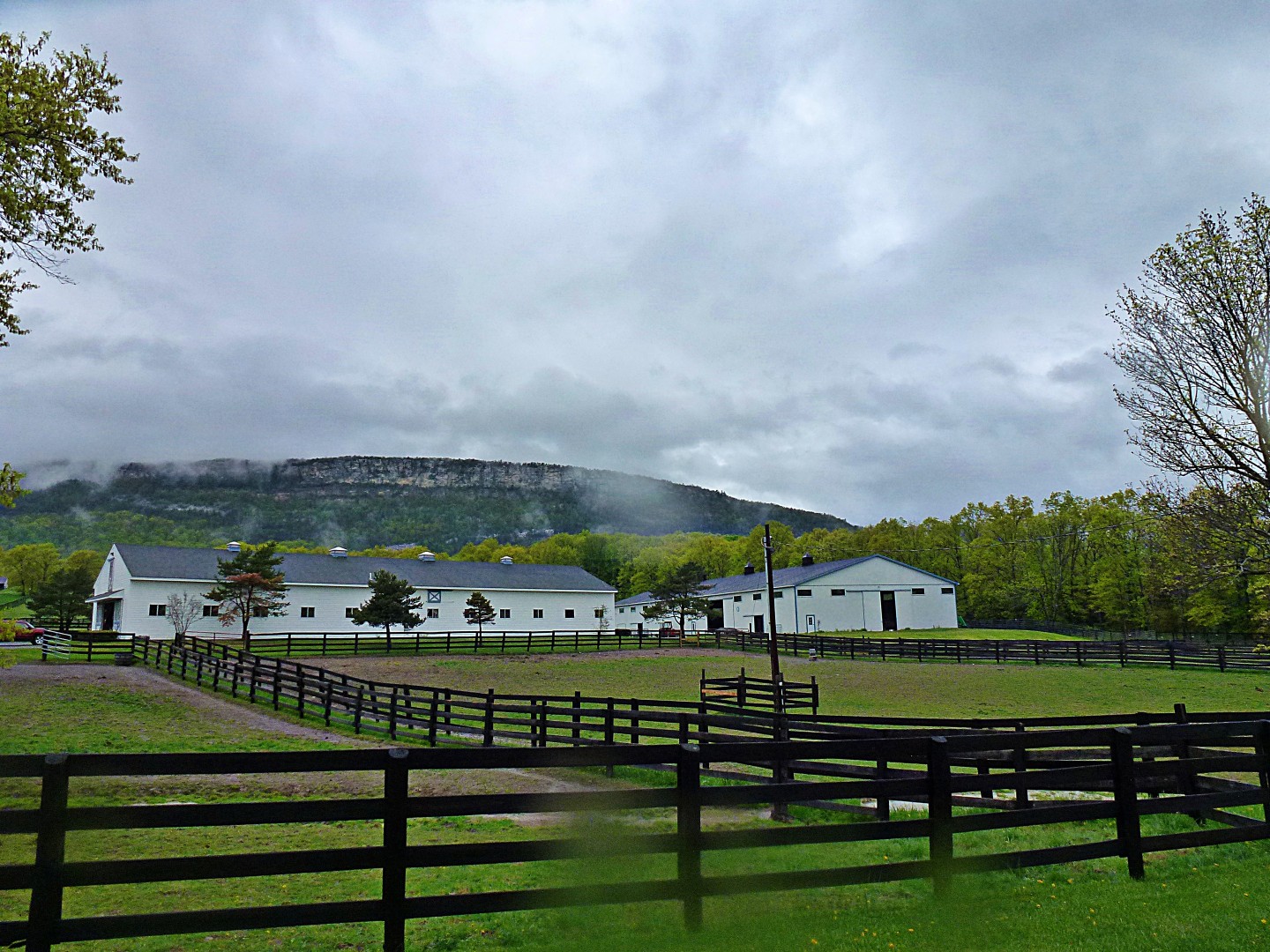
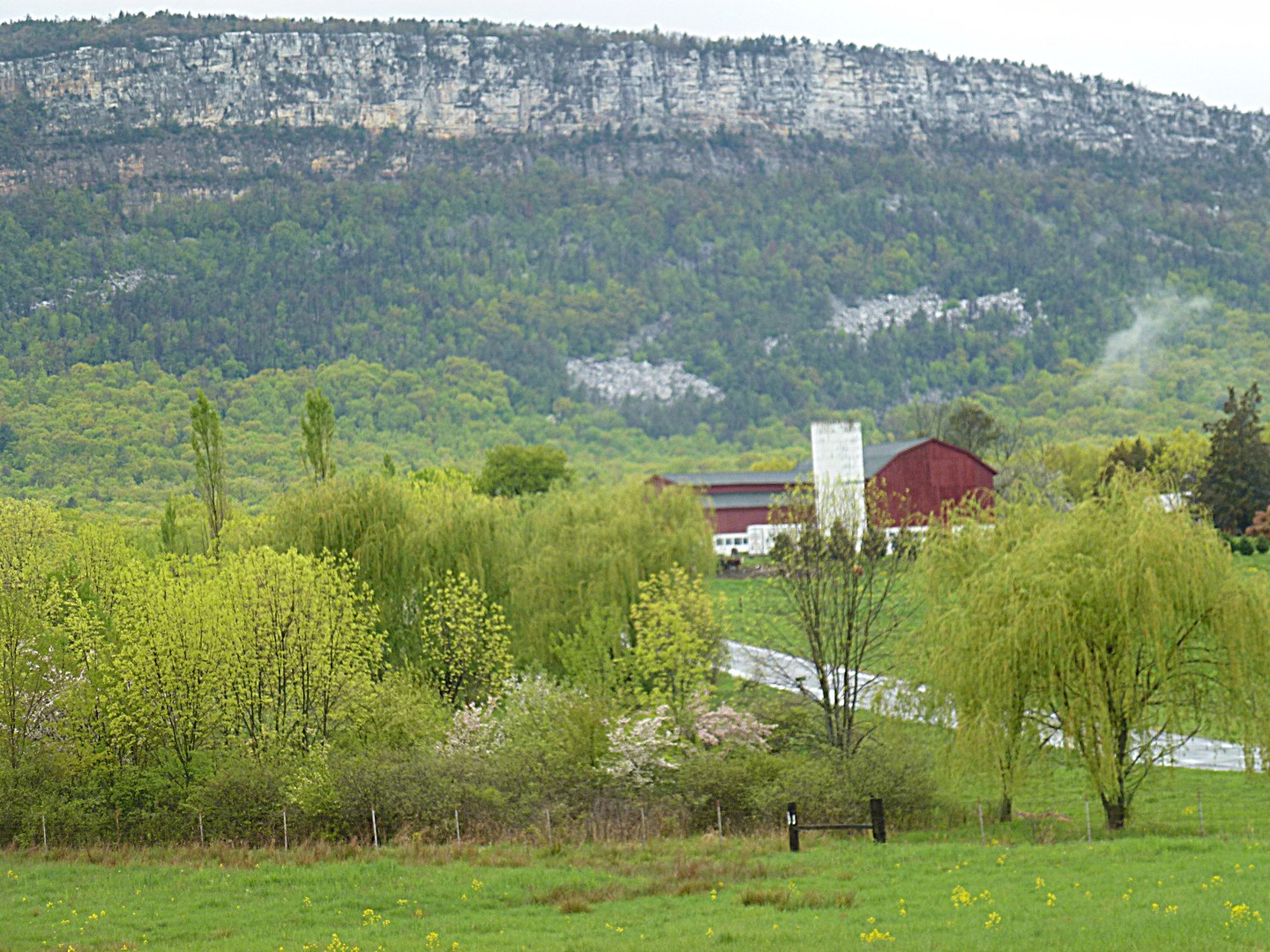
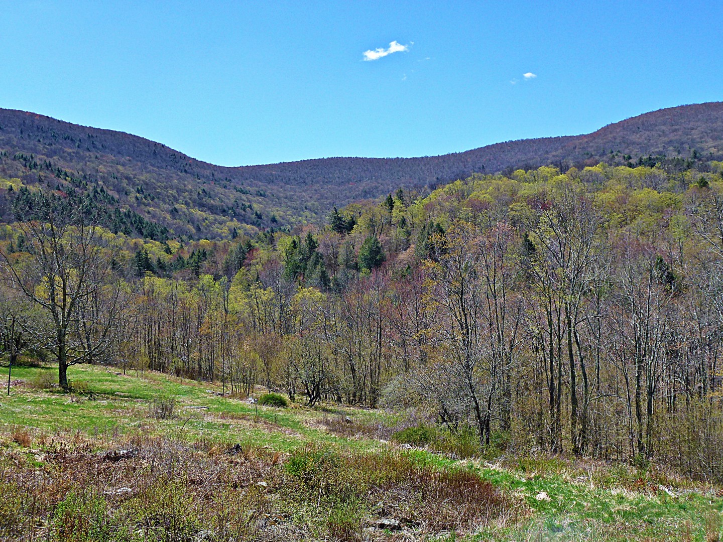
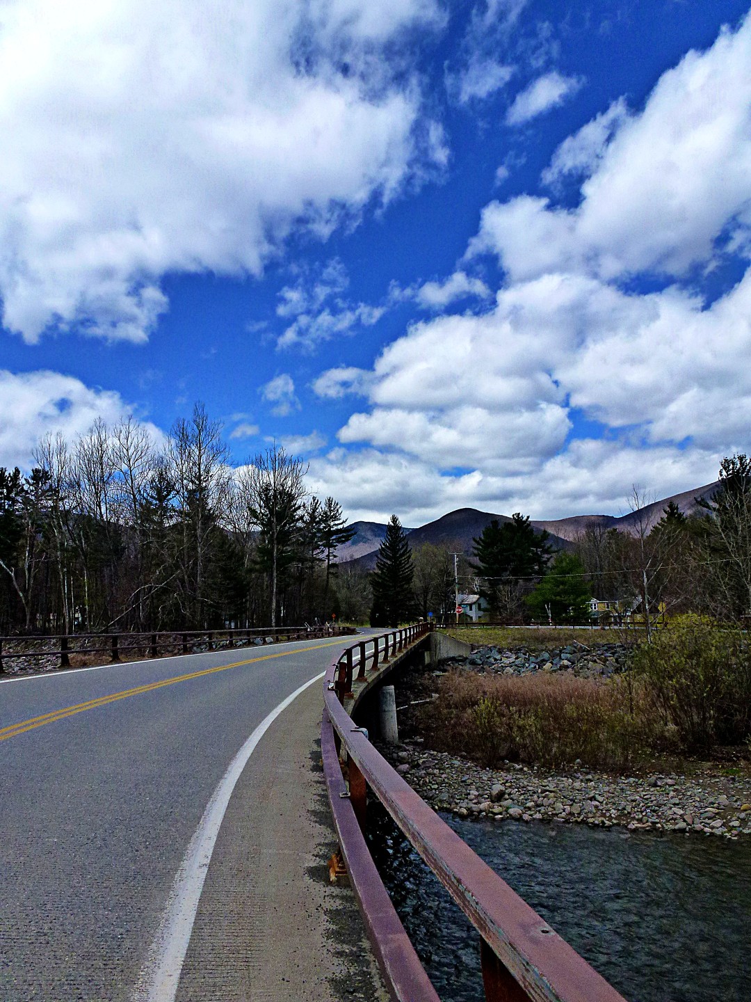
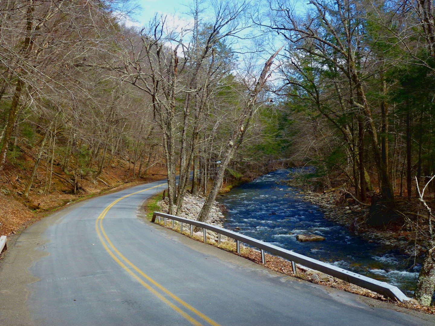
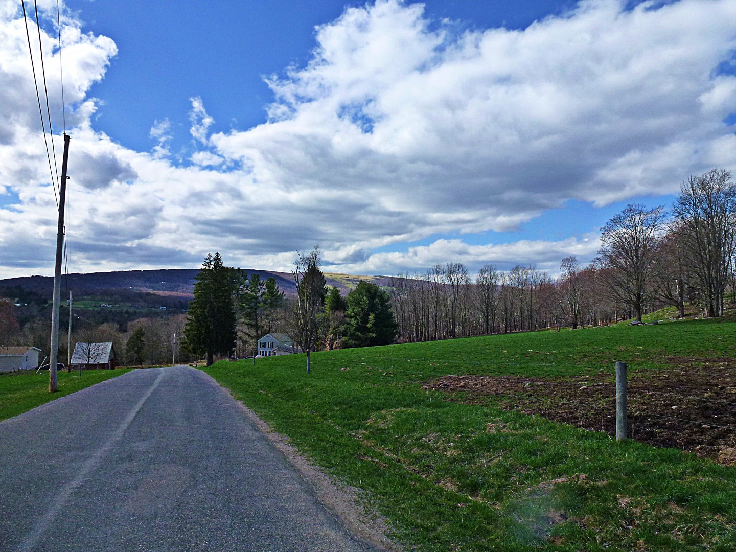
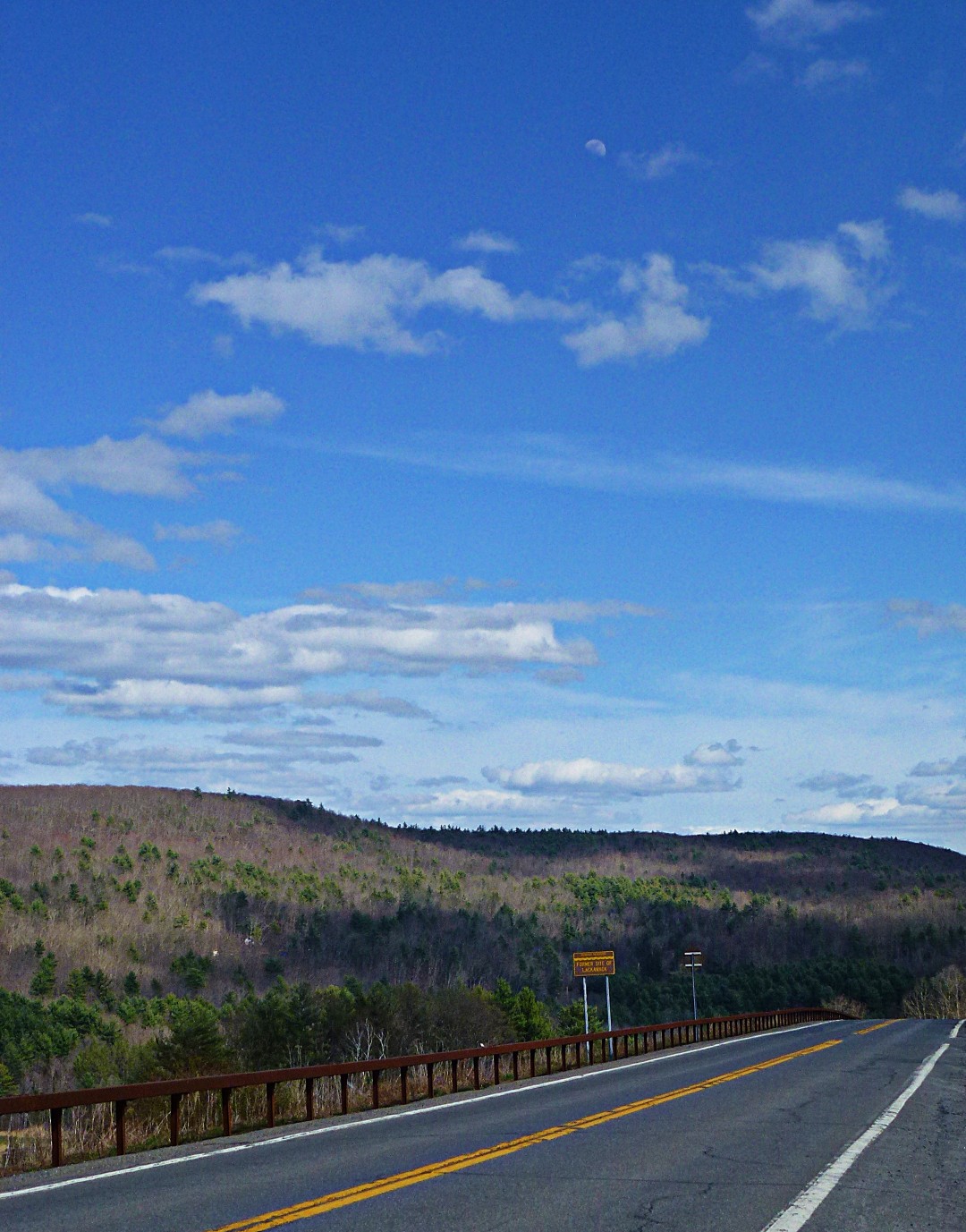
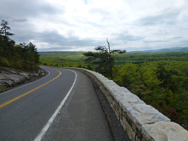
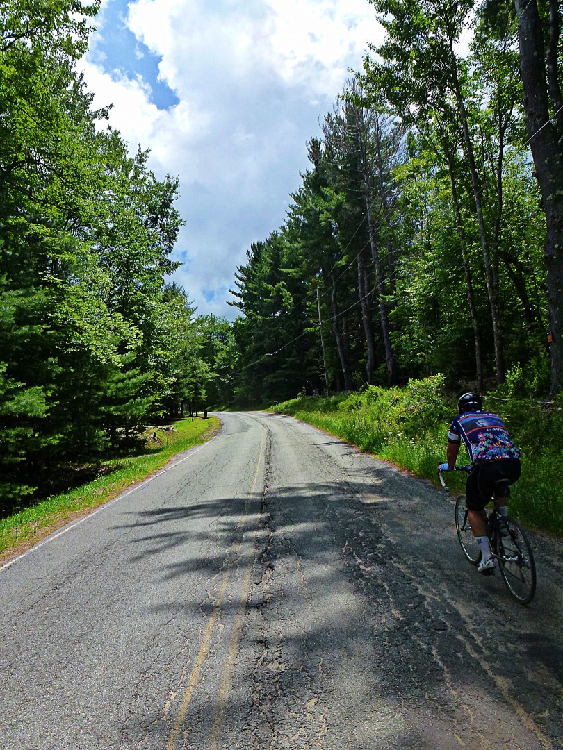
From there, we continued north, back to my neighborhood. The views got much better….

We returned home to a full-on July 4th barbeque in progress. Perhaps surprisingly, because all I had to eat over 70 miles was 5 cheese sticks, I wasn’t that hungry. Sometimes that happens to me when I exercise. Still, I managed a couple cheeseburgers and a hot dog.
So, is this worth the trip? I’m going to categorize it as such, because it’s a fairly easy ride compared with our usual rides. But it doesn’t offer the scenic vistas, brutal climbs, and long fast descents of many of my other routes. Nevertheless, it was a nice change of pace.
John